The best walks and hikes around Sainte-Anne-Sur-Brivet
4.4
(72)
527
hikers
52
hikes
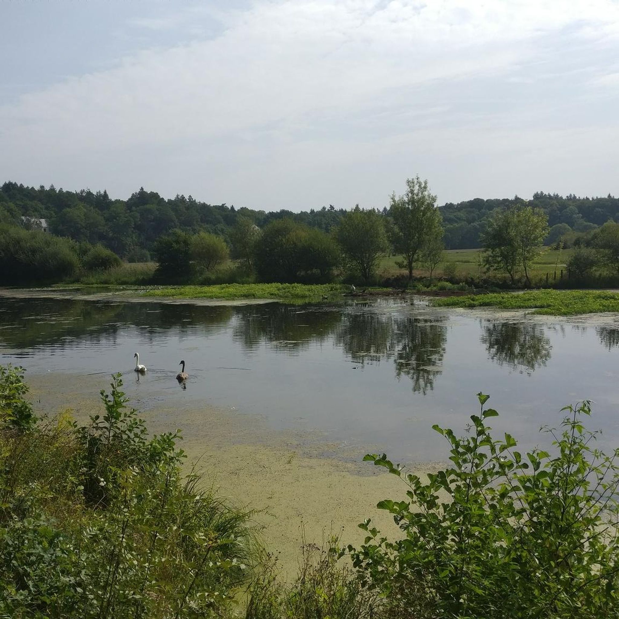
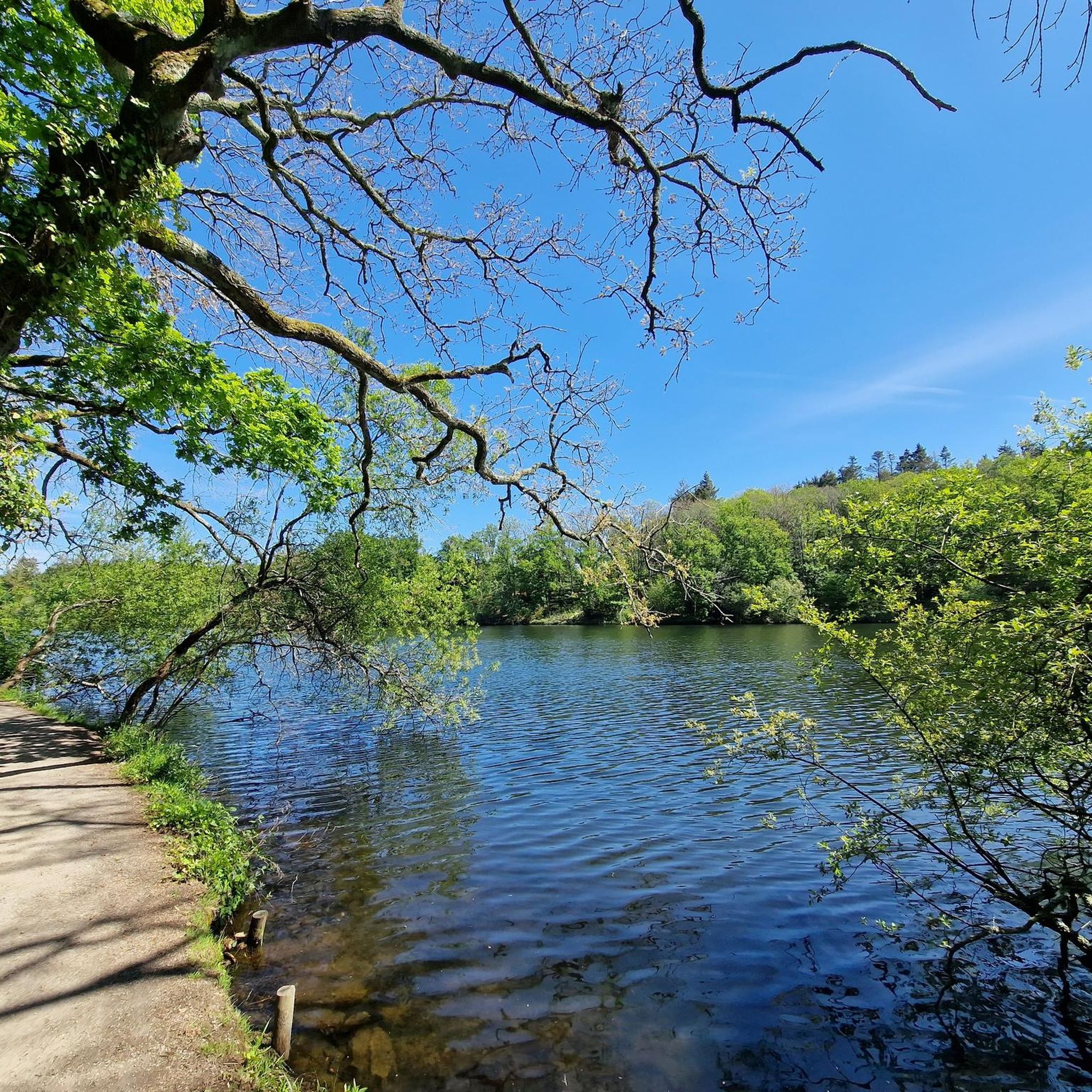
Hiking around Sainte-Anne-Sur-Brivet offers routes through a predominantly flat, rural landscape. The area is characterized by woodlands, agricultural fields, and small ponds, providing a tranquil setting for outdoor activities. Elevation changes are minimal, making most trails accessible. The region's natural features include several "Bois" (woods) and "Étang" (ponds), which are often incorporated into circular hiking paths.
Best hiking trails around Sainte-Anne-Sur-Brivet
- The most popular hiking route is Hiking loop from Drefféac, a 2.2 miles (3.5 km) trail that takes…
Last updated: June 25, 2026
4.0
(6)
24
hikers
14.5km
03:41
50m
50m
Moderate hike. Good fitness required. Easily-accessible paths. Suitable for all skill levels.
3.7
(3)
22
hikers
15.2km
03:56
80m
80m
Moderate hike. Good fitness required. Easily-accessible paths. Suitable for all skill levels.

Sign up for free
12
hikers
7.99km
02:02
20m
20m
Moderate hike. Good fitness required. Easily-accessible paths. Suitable for all skill levels.
4.0
(2)
10
hikers
3.52km
00:54
10m
10m
Easy hike. Great for any fitness level. Easily-accessible paths. Suitable for all skill levels.
4.5
(2)
6
hikers
8.43km
02:12
60m
60m
Moderate hike. Good fitness required. Easily-accessible paths. Suitable for all skill levels.
Get access to more routes and recommendations from other explorers.
Sign up for free
Already have an account?
Our route recommendations are based on thousands of hikes, rides, and runs completed by other people on komoot.
Start today with a free account
Your next adventure awaits.
Login or Signup


Tips from the Community

Brittany mount Besne
0
0

17th century chapel built on the site where St Friard and St Secondel lived. A little further along the path you will find an oratory built above the fountain where the saints collected their water.
2
0

The Pont de la Guesne is one of the many bridges that span the rivers and canals that branch out from the magnificent Marais de Brière. On it, you find the red and white marking of the GR 3.
1
0

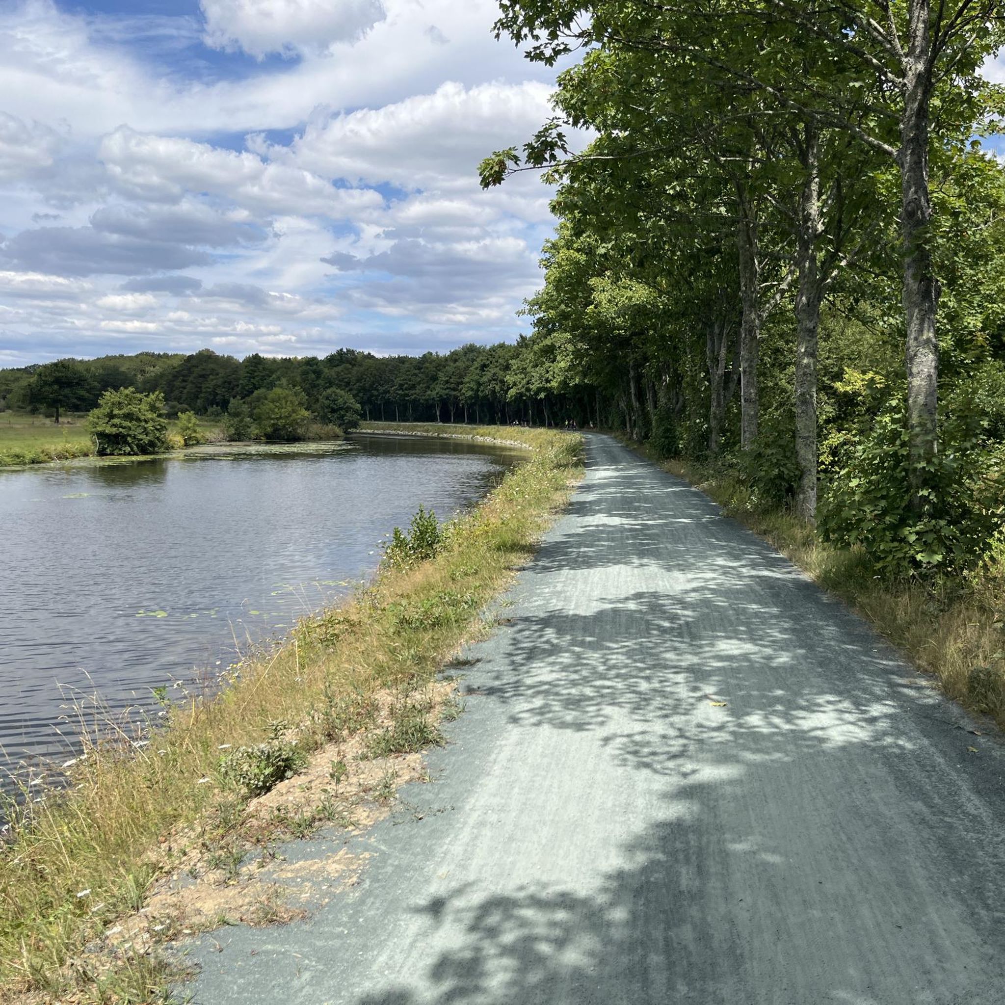
Very pleasant walk made in the direction of L'Angle (Brillac) => Montoir, almost 10km flat and without bends, mountain biking is not necessary, a good city bike should be sufficient. Depending on your destination, arriving in Montoir is not easy, I struggled a bit to get to the port of Saint-Nazaire. Good memory that I recommend, can be combined with the Tour de Brière, it avoids the a little "urban" part of the east side.
0
0

The line from Sablé to Montoir-de-Bretagne is a French railway line, today closed and de-ironed between Château-Gontier and Montoir-de-Bretagne. It was a regional axis connecting the region of Le Mans to the Atlantic coast, without going through Nantes.
4
0

Beautiful little chapel in the middle of marshes and a wood. Picnic area right next to the chapel.
2
0
Frequently Asked Questions
How many hiking trails are available around Sainte-Anne-Sur-Brivet?
There are over 70 hiking routes documented around Sainte-Anne-Sur-Brivet on komoot. These trails explore the tranquil rural landscape, offering a variety of options for different preferences.
Are there easy hiking trails suitable for beginners in Sainte-Anne-Sur-Brivet?
Yes, Sainte-Anne-Sur-Brivet is an excellent area for beginners and those seeking easy walks. The region is predominantly flat with minimal elevation changes. About 25 of the available routes are rated as easy, making them perfect for a relaxed outdoor experience.
Can I find circular hiking routes in Sainte-Anne-Sur-Brivet?
Absolutely. Many of the trails around Sainte-Anne-Sur-Brivet are circular, allowing you to start and end at the same point. Examples include the Bois de la Crandelais loop from Sainte-Anne-sur-Brivet, which winds through local woodlands, and the Étang de La Couëronnais loop from Sainte-Anne-sur-Brivet, which takes you around a scenic pond.
What kind of terrain can I expect on hikes in Sainte-Anne-Sur-Brivet?
The terrain around Sainte-Anne-Sur-Brivet is generally flat and rural, characterized by woodlands, agricultural fields, and small ponds. You'll encounter quiet country lanes and well-maintained paths, making for pleasant and accessible walks.
Are the hiking trails in Sainte-Anne-Sur-Brivet suitable for families with children?
Yes, the predominantly flat and easy nature of many trails makes Sainte-Anne-Sur-Brivet very suitable for families. Routes like the Hiking loop from Drefféac are relatively short and offer a gentle introduction to hiking for all ages.
Are dogs allowed on the hiking trails in Sainte-Anne-Sur-Brivet?
Generally, dogs are welcome on trails in rural areas like Sainte-Anne-Sur-Brivet, especially on public footpaths and through woodlands. However, it's always advisable to keep them on a leash, particularly near agricultural fields or if passing through private property, and to respect local signage.
What are some interesting landmarks or attractions to see near the hiking routes?
While hiking, you can explore several historical and natural points of interest. Nearby attractions include the Ruins of the Château de Lorieux, the impressive Bretesche Castle, and the ancient La Barbière Dolmen. These add a cultural dimension to your outdoor adventure.
Are there any challenging hikes around Sainte-Anne-Sur-Brivet?
The region of Sainte-Anne-Sur-Brivet is known for its gentle, flat terrain, so truly challenging hikes with significant elevation gain are rare. Most routes are easy to moderate. There are a couple of routes rated as difficult, but these typically refer to longer distances rather than steep ascents.
What do other hikers say about the trails in Sainte-Anne-Sur-Brivet?
The trails in Sainte-Anne-Sur-Brivet are highly rated by the komoot community, with an average score of 4.2 stars from over 70 reviews. Hikers often praise the peaceful atmosphere, the well-maintained paths through woodlands and around ponds, and the overall accessibility of the routes for a relaxing outdoor experience.
Is there public transport access to the hiking areas in Sainte-Anne-Sur-Brivet?
Public transport options directly to trailheads within Sainte-Anne-Sur-Brivet may be limited, as it is a rural area. It is generally recommended to travel by car to access the starting points of most hikes. Some routes, like the Bois de la Perrinais loop from Sainte-Anne-sur-Brivet, start directly from the village.
Are there specific parking facilities for hikers in Sainte-Anne-Sur-Brivet?
While dedicated large parking lots specifically for hikers might not be common in this rural setting, you can usually find parking in the villages where trails begin, such as Sainte-Anne-Sur-Brivet itself or nearby Drefféac. Always check local signage for parking restrictions.
What is the typical duration for a hike in Sainte-Anne-Sur-Brivet?
Hike durations vary depending on the route and your pace. Many of the popular loops, such as the Hiking loop from Drefféac (2.2 miles), can be completed in under an hour. Longer routes like the Bois de la Crandelais – Bois de la Perrinais loop from Sainte-Anne-sur-Brivet (4.8 miles) might take around 2 hours.
Most popular routes around Sainte-Anne-Sur-Brivet
Most popular attractions around Sainte-Anne-Sur-Brivet

Get inspired with the komoot mobile app


Explore more
Browse the best Hikes in other regions.
