The best road cycling routes around Montaigut-Sur-Save
4.2
(230)
3,073
riders
15
rides
Road cycling around Montaigut-Sur-Save is characterized by its diverse landscapes, including the Save river valley and the edge of the Bouconne Forest. The terrain features a mix of relatively flat sections along the river and gently rolling hills, with elevations ranging from 116 to 194 meters. This area provides varied challenges for cyclists, from leisurely rides through rural landscapes to routes with more sustained climbs. The region's quiet roads offer scenic views of the Occitanie countryside.
Best road cycling routes…
Last updated: May 14, 2026
4.0
(3)
46
riders
47.7km
01:52
140m
150m
Easy road ride. Great for any fitness level. Mostly well-paved surfaces and easy to ride.
4.0
(2)
13
riders
26.6km
01:06
120m
120m
Easy road ride. Great for any fitness level. Mostly well-paved surfaces and easy to ride.

Sign up for free
4.5
(2)
18
riders
41.4km
01:42
120m
120m
Easy road ride. Great for any fitness level. Mostly well-paved surfaces and easy to ride.
3.0
(1)
9
riders
38.5km
01:34
200m
200m
Easy road ride. Great for any fitness level. Mostly well-paved surfaces and easy to ride.
11
riders
51.2km
02:14
470m
470m
Moderate road ride. Good fitness required. Some segments of this route may be unpaved and difficult to ride.
Get access to more routes and recommendations from other explorers.
Sign up for free
Already have an account?
Our route recommendations are based on thousands of hikes, rides, and runs completed by other people on komoot.
Start today with a free account
Your next adventure awaits.
Login or Signup
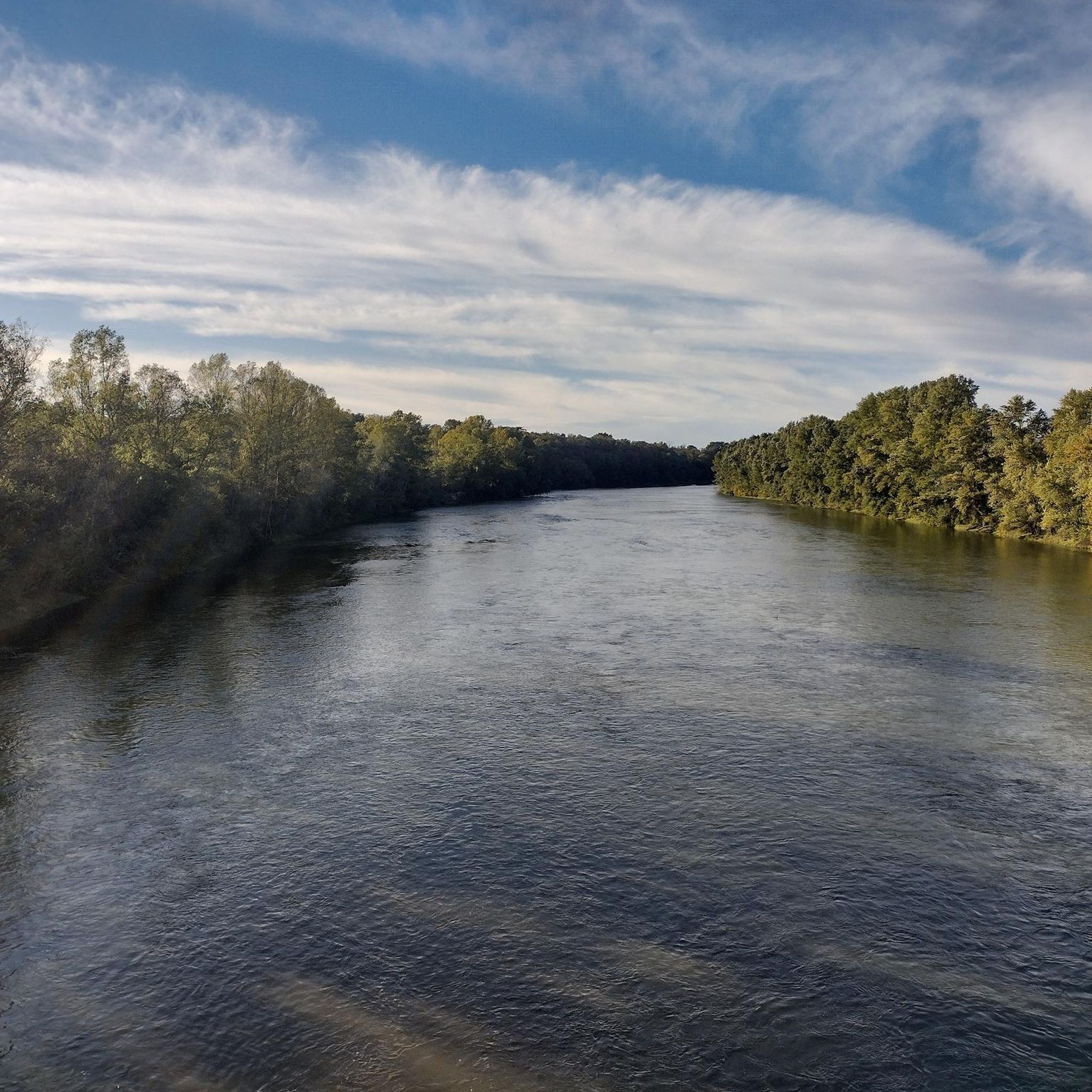
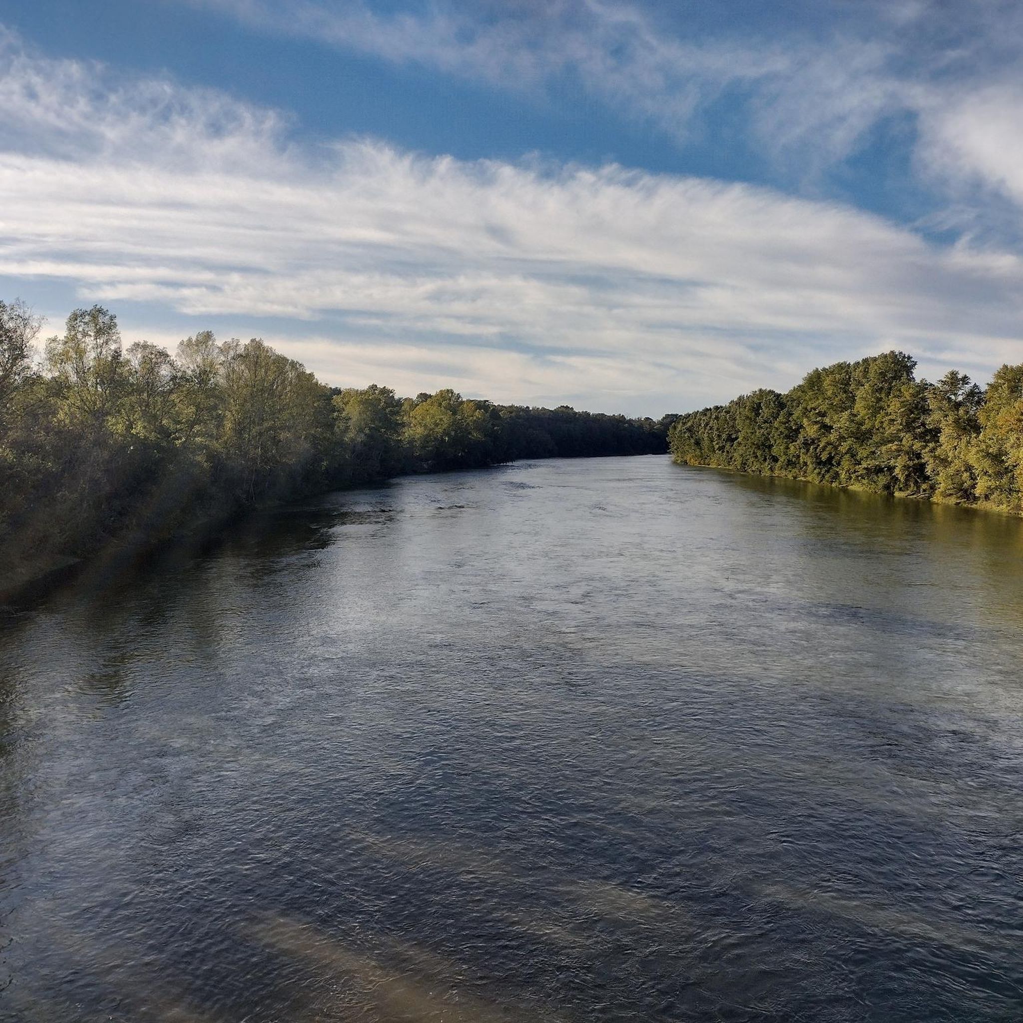

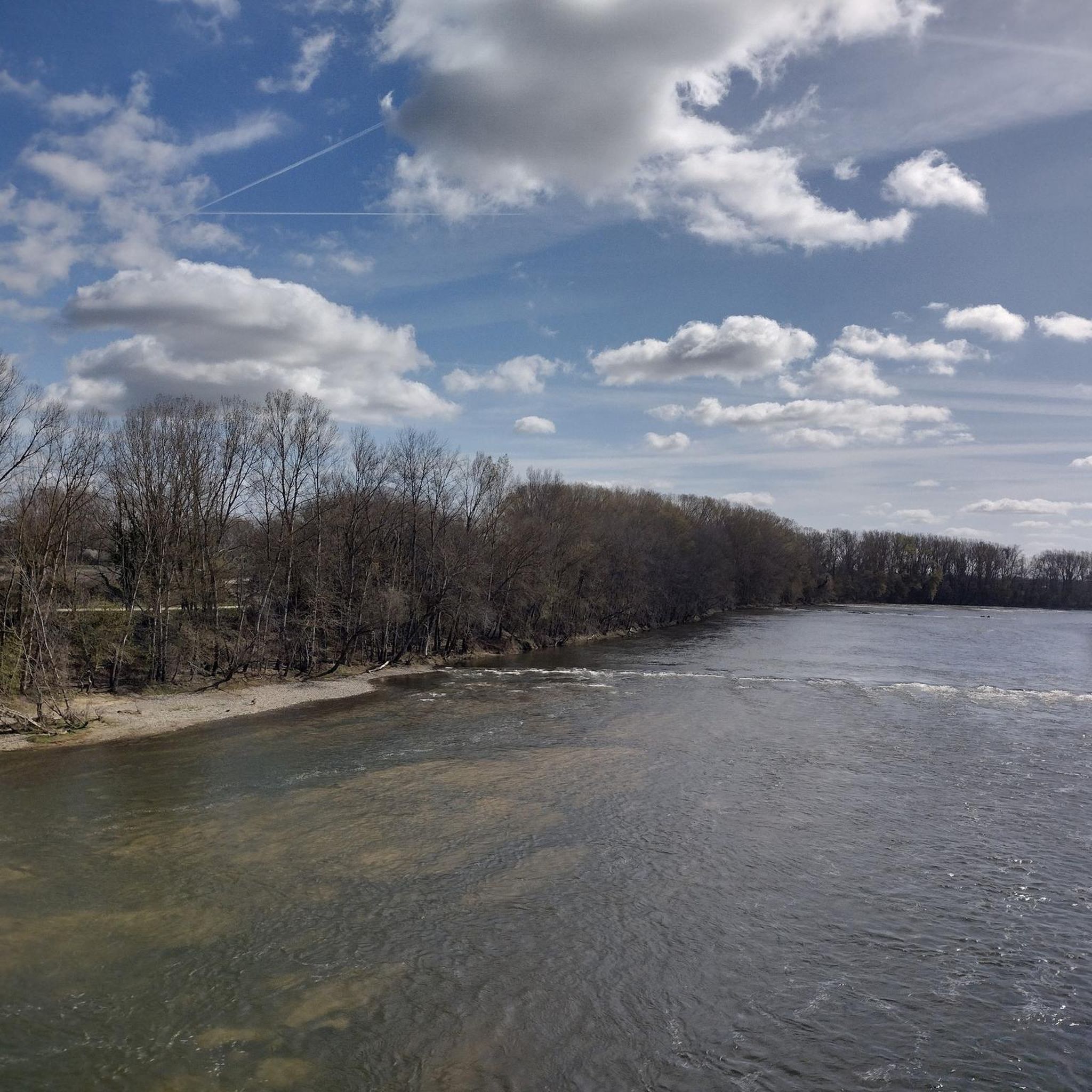

Tips from the Community

The view must be amazing, would there be a gentle slope or path/road that goes up? Please from Colomiers
0
0

It is curious to see how the canal passes over the river by a bridge, like the old aqueducts.
0
0

Beautiful esplanade next to the church with a very beautiful view of the Pyrenees.
0
0


Beautiful section of the canal, watch out for the cobblestones for road bikes.
0
0

Very nice and varied trail, a few trees felled by last week's wind. Nothing serious.
0
0

Frequently Asked Questions
What is the general terrain like for road cycling around Montaigut-Sur-Save?
The terrain around Montaigut-Sur-Save offers a varied experience for road cyclists. You'll find relatively flat sections along the Save river valley, complemented by gently rolling hills. Elevations typically range from 116 to 194 meters, providing a mix of leisurely rides and routes with more sustained, but generally moderate, climbs. The quiet roads offer scenic views of the Occitanie countryside.
How many road cycling routes are available in the Montaigut-Sur-Save area?
There are over 15 road cycling routes available around Montaigut-Sur-Save, catering to various skill levels. The majority of these routes are classified as easy or moderate, making the area accessible for many cyclists.
Are there any easy road cycling routes suitable for beginners in Montaigut-Sur-Save?
Yes, Montaigut-Sur-Save offers several easy road cycling routes perfect for beginners or those seeking a relaxed ride. An example is the PE Saint Paul – Grenade loop from Montaigut-sur-Save, which covers 26.6 km with minimal elevation gain.
What kind of landmarks or attractions can I see along the road cycling routes?
Road cycling routes around Montaigut-Sur-Save often pass by interesting local sights. You might encounter the extensive Bouconne Forest, offering a green backdrop, or the Basilica of Saint Germaine in Pibrac. Some routes also offer views of the A380 Oversized Route or the Gagnac-sur-Garonne Footbridge.
What is the best time of year for road cycling in Montaigut-Sur-Save?
The region generally offers pleasant conditions for road cycling from spring through autumn. The summer months provide warm weather, ideal for longer rides, while spring and early autumn offer milder temperatures and beautiful scenery. Always check the local weather forecast before heading out.
Are there any circular road cycling routes available?
Yes, many of the road cycling routes around Montaigut-Sur-Save are designed as loops, allowing you to start and finish in the same location. For instance, the Aeroscopia Museum loop from Montaigut-sur-Save is a popular circular option.
Can I find family-friendly road cycling routes in the area?
The area's mix of relatively flat sections and quiet rural roads makes it suitable for family cycling. Many of the easy-rated routes, such as the Aeroscopia Museum – Scenic Road Along the Lake loop from Montaigut-sur-Save, can be enjoyed by families looking for a less strenuous ride.
What do other road cyclists enjoy most about cycling in Montaigut-Sur-Save?
The road cycling routes in Montaigut-Sur-Save are highly rated by the komoot community, with an average score of 4.5 stars from over 82 reviews. Cyclists often praise the diverse landscapes, the quiet rural roads, and the accessibility of routes for various skill levels, from leisurely rides to more challenging climbs.
Is there parking available for cyclists near the routes?
While specific designated cyclist parking isn't always highlighted, Montaigut-Sur-Save, as a commune, typically offers public parking options within the village. For routes starting from the village, you can usually find suitable parking. For routes venturing into areas like the Bouconne Forest, check for parking facilities at the Bouconne Leisure Center.
Are there any routes that pass through or near the Bouconne Forest?
Yes, the Bouconne Forest is a significant natural feature in the region, and many road cycling routes are situated on its edge or offer views of this extensive green space. The forest itself is known for its recreational activities, and while primarily for mountain biking and hiking, its proximity influences the character of nearby road cycling routes.
Are there any long-distance road cycling options near Montaigut-Sur-Save?
While Montaigut-Sur-Save itself offers routes up to approximately 47 km, the broader Haute-Garonne department connects to longer regional cycling networks. The 'Vélosud' route (V81) and the Canal des 2 Mers (V80) are examples of larger networks in the region that can be accessed for extended rides, though they don't pass directly through Montaigut-Sur-Save.
Can I find cafes or places to stop for refreshments along the road cycling routes?
Many routes pass through or near small villages and towns where you can find local cafes, bakeries, or small shops for refreshments. Montaigut-Sur-Save itself has amenities, and routes like the Aeroscopia Museum – The harbor at the mouth loop from Montaigut-sur-Save might take you past areas with facilities.
Most popular routes around Montaigut-Sur-Save
Most popular attractions around Montaigut-Sur-Save

Get inspired with the komoot mobile app


Explore more
Browse the best Road cycling routes in other regions.
