The best MTB trails around Fleury-Les-Aubrais
4.3
(216)
928
riders
15
rides
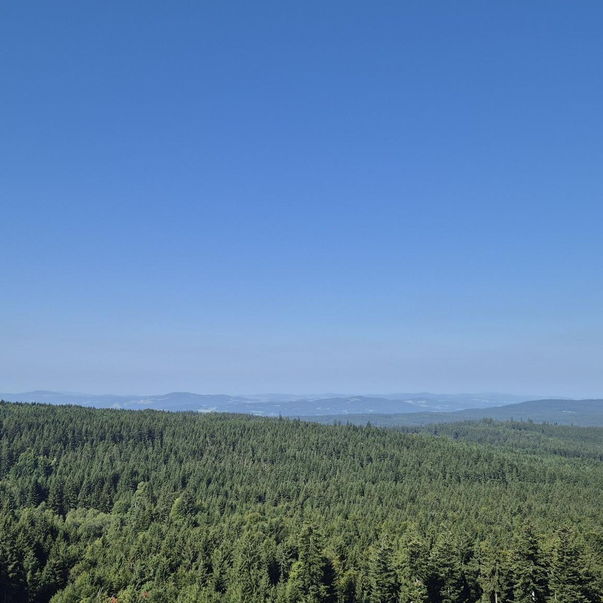
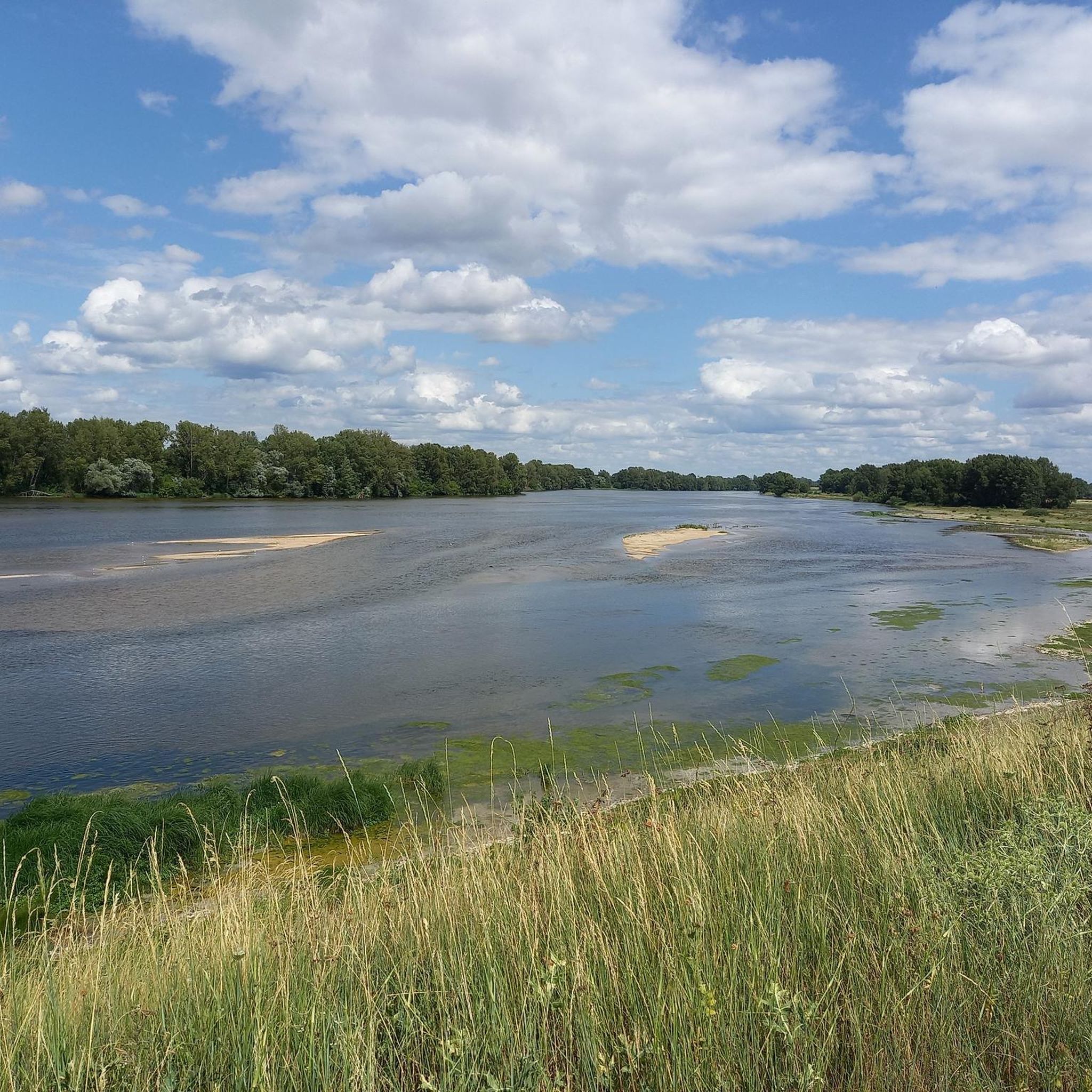
Mountain biking around Fleury-Les-Aubrais offers access to diverse terrain, primarily centered around the vast Forêt d'Orléans and the scenic Loire River. The region features an extensive network of trails within the forest, characterized by a generally flat to moderately challenging profile with an average altitude of 120 meters. Riders can expect varied forest scenery, including pine and holm oak forests, alongside paths that follow the Loire River. This landscape provides options for various skill levels, from easy routes to more…
Last updated: July 4, 2026
4.6
(20)
77
riders
Moderate mountain bike ride. Good fitness required. Suitable for all skill levels.
4.5
(65)
237
riders
51.8km
03:21
140m
140m
Moderate mountain bike ride. Good fitness required. Suitable for all skill levels.

Sign up for free
3.5
(2)
34
riders
46.5km
03:28
110m
110m
Moderate mountain bike ride. Good fitness required. Advanced riding skills necessary.
3.5
(4)
28
riders
35.4km
02:14
120m
120m
Moderate mountain bike ride. Good fitness required. Suitable for all skill levels.
21
riders
62.6km
04:49
150m
150m
Moderate mountain bike ride. Good fitness required. Advanced riding skills necessary.
Get access to more routes and recommendations from other explorers.
Sign up for free
Already have an account?
Our route recommendations are based on thousands of hikes, rides, and runs completed by other people on komoot.
Start today with a free account
Your next adventure awaits.
Login or Signup
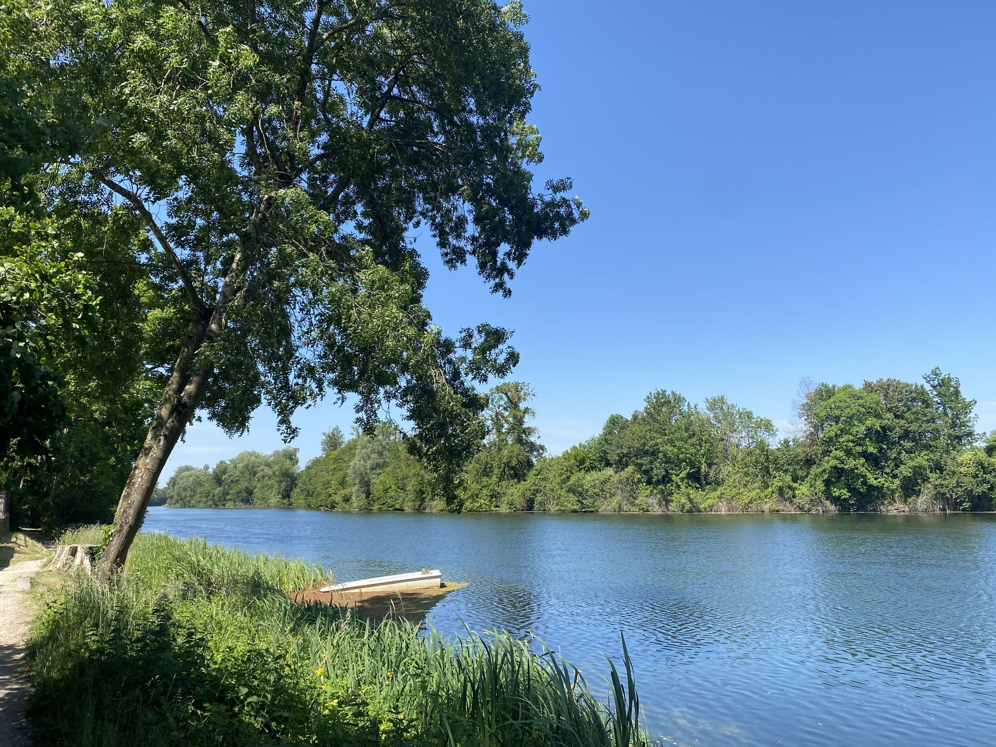
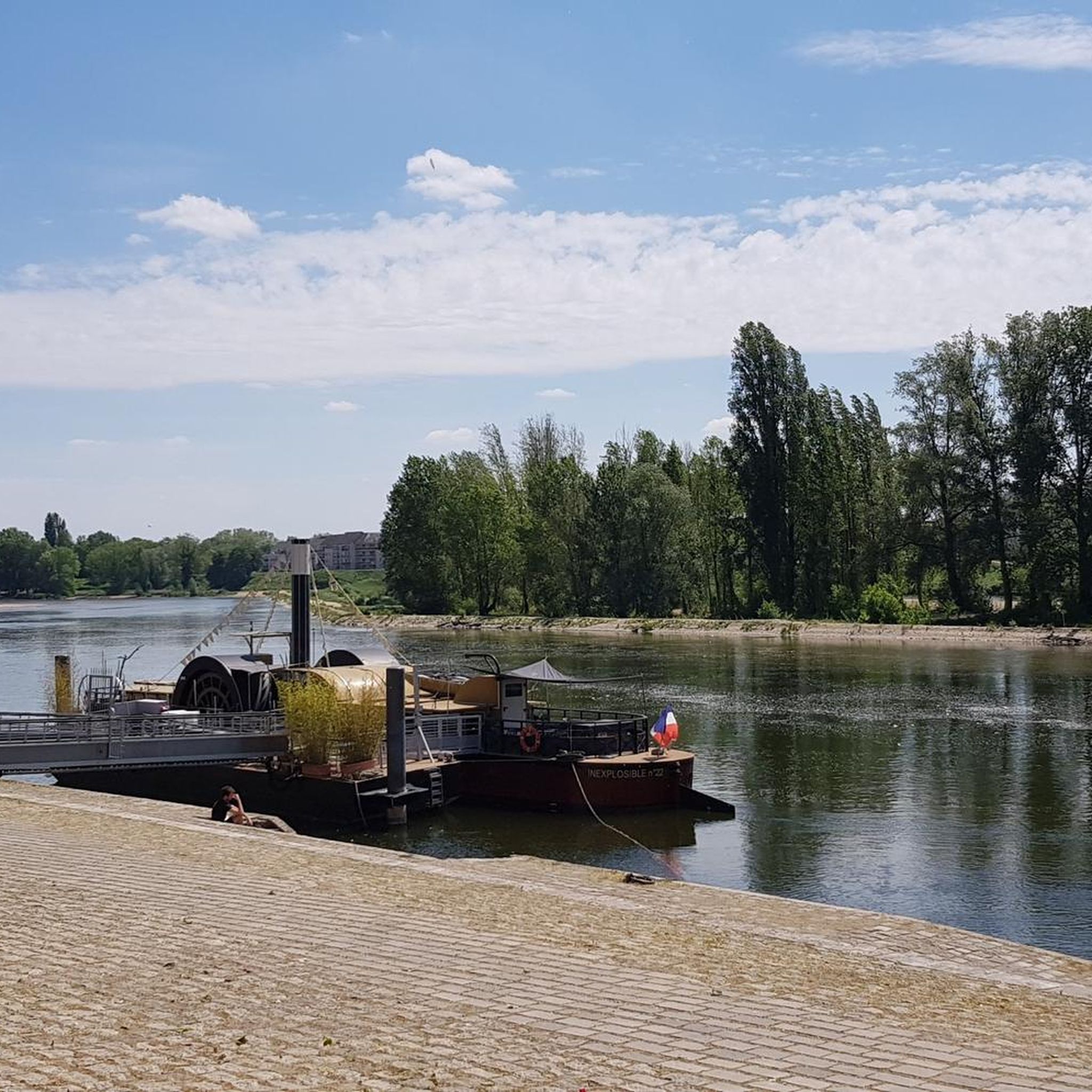
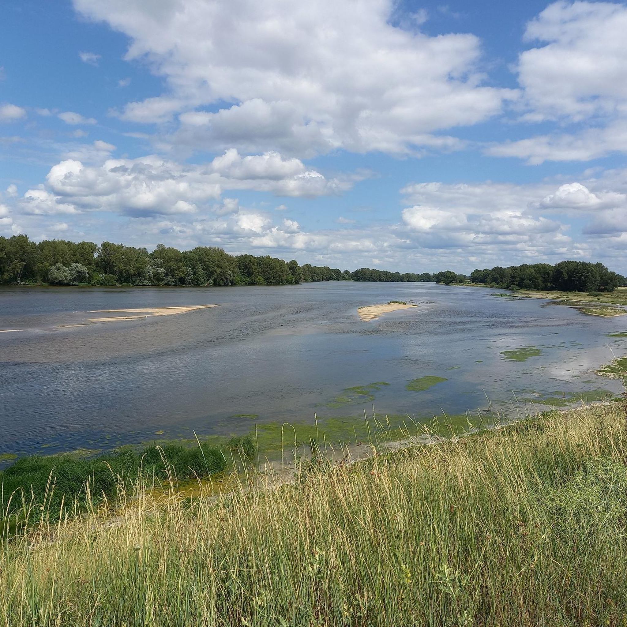
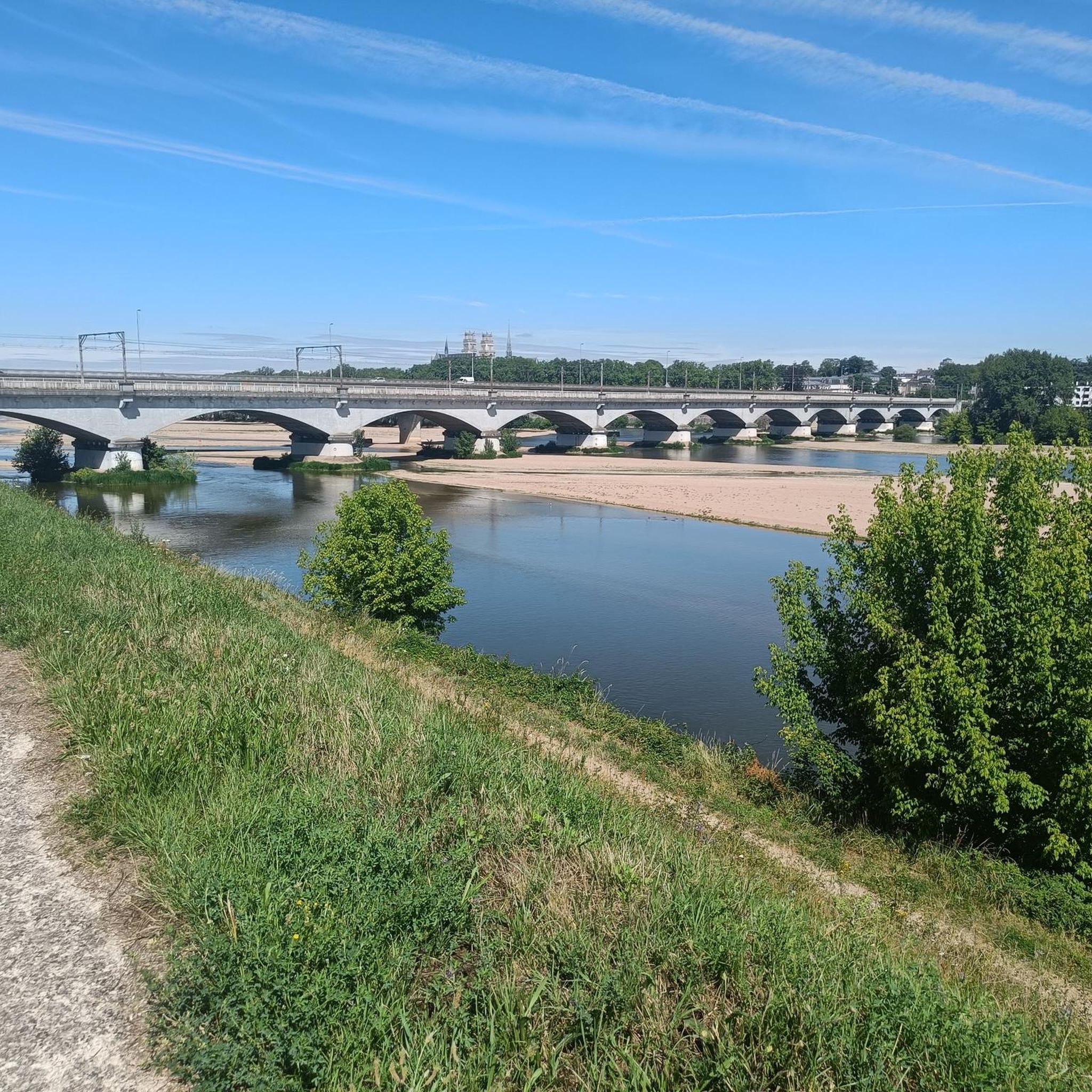
Other adventures around Fleury-Les-Aubrais

Tips from the Community

Near this Bridge: *Why the km 96 marker in Orléans?* (Quai du Châtelet) The km 96 marker in Orléans *corresponds neither to the distance from the source nor from the mouth of the river. It is part of a **local marking system* related to river navigation and 19th-century cartography. These markers were used to: - *Measure navigable sections* between two ports or cities (e.g., Orléans-Blois, Orléans-Tours). - *Calculate transport tariffs* for goods, as was done by "water coach plates" (the fluvial equivalent of road markers for stagecoaches).
0
0

Nice little place to have a coffee. However, it's €3 for a coffee...
0
0

Crossing to the footpath along the canal, which is unfortunately not suitable for bicycles (it is permitted)
0
0

A beautiful design - impressive and a great view!
3
1

Listed as a "Village of Character," Combleux is a picturesque little village in the Loiret region, located at the confluence of the Orléans Canal and the Loire River. Once a busy river port, this village has retained its old-world charm with its cobbled streets, stone houses, and flower gardens. In the heart of Combleux, the Guinguette de l'Écluse brings the canal banks to life every summer, offering a friendly gathering place where guests can sample local produce while enjoying open-air concerts and dance evenings.
1
0

Rolling path but with a little dirt
0
0
Frequently Asked Questions
How many mountain bike trails are available around Fleury-Les-Aubrais?
There are 14 mountain bike trails around Fleury-Les-Aubrais, offering a variety of experiences. These include 2 easy routes, 11 moderate routes, and 1 difficult route, ensuring options for different skill levels.
What kind of terrain can I expect when mountain biking near Fleury-Les-Aubrais?
The terrain around Fleury-Les-Aubrais is primarily characterized by the vast Forêt d'Orléans, offering a generally flat to moderately challenging profile with an average altitude of 120 meters. You'll find diverse forest scenery, including pine and holm oak forests, and paths that follow the scenic Loire River. Many trails are described as 'roulants' (rolling), focusing on physical effort over technical prowess.
Are there mountain bike trails suitable for beginners or families in Fleury-Les-Aubrais?
Yes, the area offers trails suitable for beginners and families. There are 2 easy routes available, and many of the moderate trails within the Forêt d'Orléans are accessible, often featuring generally flat terrain. These routes provide a great way to enjoy the natural beauty without requiring advanced technical skills.
Are there challenging mountain bike trails for experienced riders around Fleury-Les-Aubrais?
For experienced riders seeking a challenge, there is 1 difficult mountain bike route available. Additionally, some of the moderate trails within the Forêt d'Orléans can be quite demanding, requiring good fitness, especially on longer distances or unpaved segments.
What do other mountain bikers say about the trails around Fleury-Les-Aubrais?
The mountain bike trails around Fleury-Les-Aubrais are highly rated by the komoot community, with an average score of 4.3 stars from over 190 reviews. More than 900 mountain bikers have explored the varied terrain, often praising the extensive forest paths and scenic views along the Loire River.
What are some notable landmarks or points of interest I can see along the mountain bike trails?
While riding, you can encounter various points of interest. Some routes, like the Étang de la Charbonnière – Château de la Ferté-Vidame loop from Les Aubrais, explore historical landmarks. You might also pass by beautiful lakes such as Charbonnière Woods Pond or Île Charlemagne Pond. Other attractions in the wider area include the impressive Sainte-Croix d'Orléans Cathedral and the Europe Bridge.
Are there any circular mountain bike routes available?
Yes, many of the mountain bike routes around Fleury-Les-Aubrais are designed as loops. For example, the View of the Loire – The Loire at Sandillon loop from Les Aubrais and the Scenic Forest Singletrack – Beautiful Path loop from Les Aubrais are popular circular options, allowing you to start and finish at the same point.
Can I bring my dog on the mountain bike trails in the Forêt d'Orléans?
The Forêt d'Orléans is generally dog-friendly, but it's important to keep your dog on a leash, especially given the rich biodiversity of the Natura 2000 protected area, which is home to deer, roe deer, and wild boar. Always ensure your dog is under control to protect wildlife and other trail users.
What is the best time of year for mountain biking around Fleury-Les-Aubrais?
The Forêt d'Orléans and surrounding areas are enjoyable for mountain biking throughout much of the year. Spring and autumn offer pleasant temperatures and beautiful scenery, while summer can be great for shaded forest trails. Always check local weather conditions before heading out.
Are there options for parking near the mountain bike trails?
Yes, the Forêt d'Orléans has numerous access points with parking facilities. While specific parking areas are not detailed for every route, the extensive network of trails means you can typically find convenient parking near trailheads within the forest.
Is it possible to access the mountain bike trails using public transport from Fleury-Les-Aubrais?
Fleury-Les-Aubrais is committed to promoting cycling mobility, and public transport options are available to reach the wider Orléans area. From there, you can cycle to the Forêt d'Orléans or other trail networks. It's advisable to check local bus or tram schedules for routes that accommodate bikes or get you close to the forest's edge.
What is the average distance of mountain bike routes in this area?
The mountain bike routes around Fleury-Les-Aubrais vary in length. For example, the George V Bridge – Europe Bridge loop from Les Aubrais is about 34 km (21 miles), while the Beautiful Path – Makeshift Log Bridge loop from Les Aubrais covers approximately 46.5 km (29 miles). The longest route listed is around 52 km (32 miles).
Most popular routes around Fleury-Les-Aubrais
Most popular attractions around Fleury-Les-Aubrais

Get inspired with the komoot mobile app


Explore more
Browse the best MTB trails in other regions.
