The best walks and hikes around Menotey
4.5
(364)
1,809
hikers
194
hikes
Hiking around Menotey offers access to the diverse landscapes of the Jura region and the Pays de Dole. The terrain is characterized by rolling hills, dense spruce forests, and limestone cliffs, with rivers like the Doubs and Loue shaping the valleys. This area provides a variety of natural features, from open meadows to deep steephead valleys. The region's network of trails caters to different hiking preferences, ranging from gentle paths to more challenging routes.
Best hiking trails around Menotey
- The…
Last updated: June 22, 2026
4.5
(18)
42
hikers
10.5km
03:01
240m
240m
Moderate hike. Good fitness required. Easily-accessible paths. Suitable for all skill levels.
4.8
(5)
17
hikers
13.0km
03:35
210m
210m
Moderate hike. Good fitness required. Easily-accessible paths. Suitable for all skill levels.

Sign up for free
4.7
(3)
16
hikers
Moderate hike. Good fitness required. Easily-accessible paths. Suitable for all skill levels.
13
hikers
17.1km
04:42
270m
270m
Moderate hike. Good fitness required. Easily-accessible paths. Suitable for all skill levels.
9
hikers
10.9km
02:59
170m
170m
Moderate hike. Good fitness required. Easily-accessible paths. Suitable for all skill levels.
Get access to more routes and recommendations from other explorers.
Sign up for free
Already have an account?
Our route recommendations are based on thousands of hikes, rides, and runs completed by other people on komoot.
Start today with a free account
Your next adventure awaits.
Login or Signup
Tips from the Community

In Hans-Peter Kerkeling's book "Ich bin dann mal weg" (I'm Off Then), in which he describes his thoughts and experiences on the Way of St. James through northern Spain, which he walked in June/July 2001, the popular entertainer draws his own personal conclusion before returning from Santiago de Compostela. I would like to offer this final thought, likely matured over weeks on the Camino Frances, to the viewer of this small sacred monument in the form of a wayside cross: "God is the one individual who opens himself infinitely to liberate all. (...) The Creator throws us into the air, only to surprisingly catch us again at the end. It's like the exuberant game that parents play with their children. And the message is: Have faith in the one who throws you, because he loves you and, quite unexpectedly, will also be the catcher. And when I look back, God constantly threw me into the air and caught me again along the way. We met every day." (Hape Kerkeling in “I’m off then. My journey on the Way of St. James”)
0
0
Even though this small sacred monument is not located on the famous Way of St. James through northern Spain, in view of the wayside cross standing here, some thoughts by Hape (Hans-Peter) Kerkeling might be helpful as inspiration. The entertainer, who is particularly famous in Germany, walked the Camino Frances in 2001 and kept a diary, which was published under the title "Ich bin dann mal weg" (I'm off then). In it, he describes his personal encounter with God along the way as follows: "Yesterday, something inside me struck a huge gong. And the sound will reverberate. Sooner or later, this path shakes everyone to their very foundations. I know the sound will slowly fade, but if I listen carefully, I'll be able to hear this reverberation for a very long time to come."
1
0

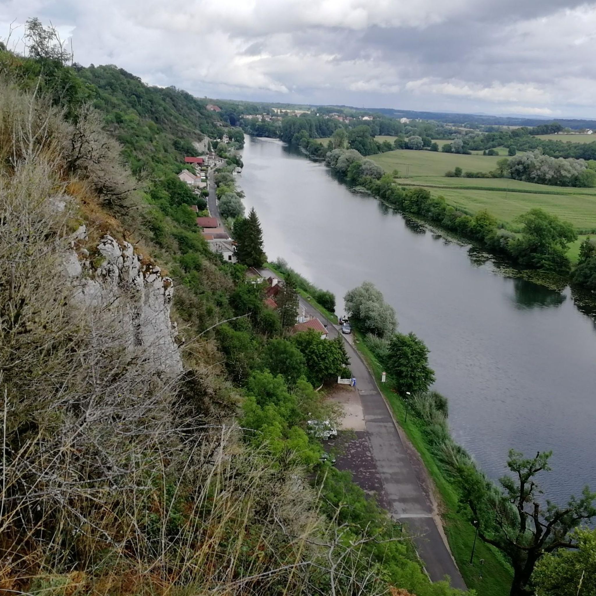
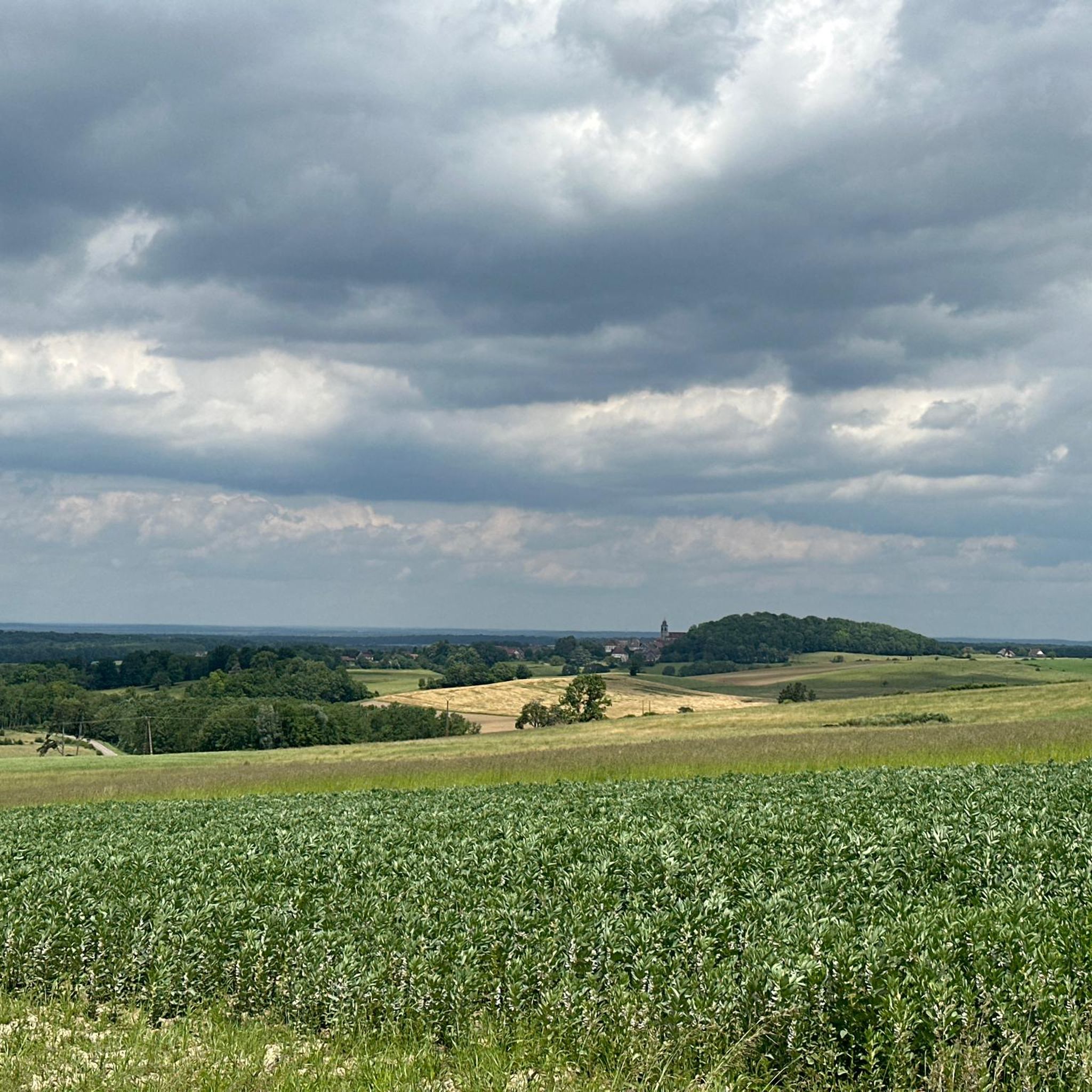
From here, you can enjoy breathtaking views of the surrounding fields and forests. A great place to take a break and refuel!
0
0
The Notre-Dame de Mont-Roland sanctuary, located on the heights of Dole, is an ancient pilgrimage site dedicated to the Virgin Mary. Founded in the 17th century, it includes a chapel, a calvary, and a Stations of the Cross, all surrounded by forest. The site also offers a sweeping panorama of the Doubs Valley and the Jura Mountains.
0
0

In the Serre massif, a natural area perfect for mountain biking, the Hermitage cave is a curiosity that invites you to take a break. If erosion has given the rock its particular shape, the human hand has also intervened in the shaping of the cave.
0
0

Very beautiful view of the Saône plain and Mont Poupet. Free ride in the Chaux forest, Rochefort and cliff, return via Mont Roland
0
0

Sanctuary of the departure of the pilgrimage to Vézelay or to Compostela.
1
0

Very nice walk in the forest of the greenhouse. Sometimes the path runs along the stream, very pleasant when it is hot Recommended
0
0
Frequently Asked Questions
How many hiking trails are available around Menotey?
The region around Menotey offers a wide variety of hiking opportunities, with over 180 routes available on komoot. These trails cater to different preferences, ranging from easy strolls to more challenging excursions.
What kind of terrain can I expect on hikes near Menotey?
Hiking around Menotey provides access to the diverse landscapes of the Jura region and the Pays de Dole. You can expect a mix of rolling hills, dense spruce forests, and dramatic limestone cliffs. Trails often follow rivers like the Doubs and Loue, shaping picturesque valleys, and lead through open meadows.
Are there easy hiking trails suitable for beginners or casual walkers?
Yes, the area around Menotey is very welcoming for all skill levels. Out of the more than 180 routes, nearly half are classified as easy, making them perfect for beginners, families, or those looking for a relaxed walk. The Pays de Dole, in particular, boasts approximately 235 km of well-maintained trails accessible to all levels.
Are there any circular hiking routes around Menotey?
Many of the trails in the region are designed as circular routes, allowing you to start and end at the same point. For example, the Jouhe church – Notre Dame des Sources Church loop from Jouhe is a moderate 16.6 km circular path that offers a rewarding experience.
What natural features or landmarks can I see while hiking near Menotey?
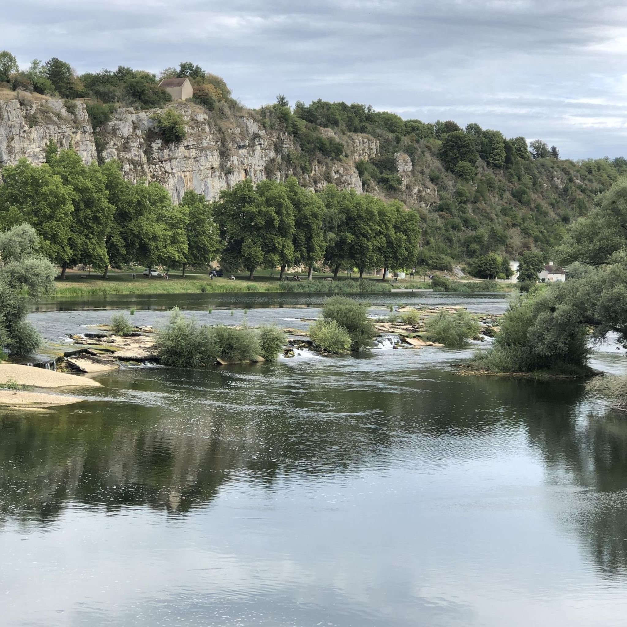
The region is rich in natural beauty and historical sites. You might encounter dramatic limestone cliffs, such as those along the Doubs / Rhône–Rhine Canal, or explore unique geological formations like the 'Reculée de Baume-les-Messieurs' in the Jura. Notable attractions include the Dole Lock and the impressive Notre-Dame Collegiate Church in Dole. The area also features various viewpoints, such as the Morillon Belvedere in the Jura Mountains, offering panoramic vistas.
Are there any hikes that feature waterfalls?
While Menotey itself is not directly known for waterfalls, the broader Jura Mountains region, which is easily accessible, is home to several beautiful cascades. The Billaude Waterfall is a notable example in the Jura, offering a scenic destination for hikers willing to venture a bit further.
Is the area around Menotey suitable for family-friendly hikes?
Absolutely. The Pays de Dole network, with its 235 km of trails, includes many routes accessible to all levels, making it ideal for families. Shorter, well-maintained paths like Grotte de l'Ermitage — loop in the bois de la Serre (10.5 km) offer engaging experiences for children and adults alike.
Can I bring my dog on the hiking trails?
Many trails in the Jura and Pays de Dole regions are dog-friendly, but it's always recommended to keep your dog on a leash, especially in protected natural areas, near livestock, or in busy sections. Always check local signage for specific regulations regarding pets on trails.
What is the best time of year to go hiking around Menotey?
The region offers enjoyable hiking experiences throughout much of the year. Spring brings lush greenery and blooming wildflowers, while autumn showcases vibrant fall foliage. Summer is popular, but trails can be busy. Winter hiking is also possible, especially on lower-elevation trails, offering a different, serene perspective of the landscape.
Where can I find parking for trailheads near Menotey?
Many trailheads in the Pays de Dole and Jura regions have designated parking areas. For specific routes, it's advisable to check the route details on komoot, as parking information is often included. For example, routes starting from villages like Authume or Gredisans typically have local parking options.
Are there options for public transport to access hiking trails?
While Menotey itself is a small commune, the wider Pays de Dole region has some public transport options that can connect you to larger towns like Dole, which then serve as hubs for accessing various trails. For detailed public transport information, it's best to consult local transport authorities or the Dole Tourist Office website at doletourisme.fr.
What do other hikers enjoy most about the trails around Menotey?
The trails around Menotey are highly rated by the komoot community, with an average score of 4.5 stars from over 300 reviews. Hikers often praise the diverse landscapes, the well-maintained paths, and the peaceful atmosphere of the forests and river valleys. The variety of routes, from easy walks to moderate excursions, is also frequently highlighted.
Most popular attractions around Menotey

Get inspired with the komoot mobile app


Explore more
Browse the best Hikes in other regions.
