The best walks and hikes around Curtil-Saint-Seine
4.4
(284)
1,537
hikers
94
hikes
Hiking around Curtil-Saint-Seine offers diverse terrain characterized by dense woodlands, limestone formations, and notable geological features such as caves and chasms. The region's landscape includes varied elevations, providing both gentle paths and more challenging ascents. Valleys like Val-Suzon contribute to the scenic variety, making it suitable for different hiking preferences.
Best hiking trails around Curtil-Saint-Seine
- The most popular hiking route is Cèlerons Caves and Creux Perçé Chasm Loop, a 6.5 miles (10.5 km) trail that takes 3 hours to…
Last updated: July 6, 2026
4.3
(54)
199
hikers
10.5km
03:00
250m
250m
Hike the Cèlerons Caves loop, a moderate 6.5-mile trail with 817 feet of elevation gain, featuring caves, cliffs, and viewpoints.
4.8
(18)
132
hikers
19.6km
06:17
620m
620m
Hard hike. Very good fitness required. Mostly accessible paths. Sure-footedness required.

Sign up for free
3.9
(17)
42
hikers
8.47km
02:38
290m
290m
Moderate hike. Good fitness required. Easily-accessible paths. Suitable for all skill levels.
2.5
(4)
18
hikers
17.3km
05:01
410m
410m
Hard hike. Very good fitness required. Easily-accessible paths. Suitable for all skill levels.
4.0
(1)
12
hikers
7.89km
02:23
250m
260m
Moderate hike. Good fitness required. Easily-accessible paths. Suitable for all skill levels.
Get access to more routes and recommendations from other explorers.
Sign up for free
Already have an account?
Our route recommendations are based on thousands of hikes, rides, and runs completed by other people on komoot.
Start today with a free account
Your next adventure awaits.
Login or Signup
Tips from the Community

Be careful when going down the 10 meters of the small path to see the chasm. Even in dry weather it is slippery and there is nothing to prevent you from falling into the chasm. So be careful.
1
0

A former charcoal-fired blast furnace, it stands out for its original design. The construction project was signed by King Louis-Philippe in 1936, and the facility was completed in 1938. The annual production capacity was between 300 and 1,000 tons of cast iron. The furnace was finally shut down in 1872, and after several attempts at conversion, the smelter closed in 1956. Recently, there were several attempts to raise sufficient funds to carry out necessary maintenance work on the dilapidated buildings.
1
0
Of the three caves, two are relatively easy to access. One can even be walked through—a beautiful place.
3
0
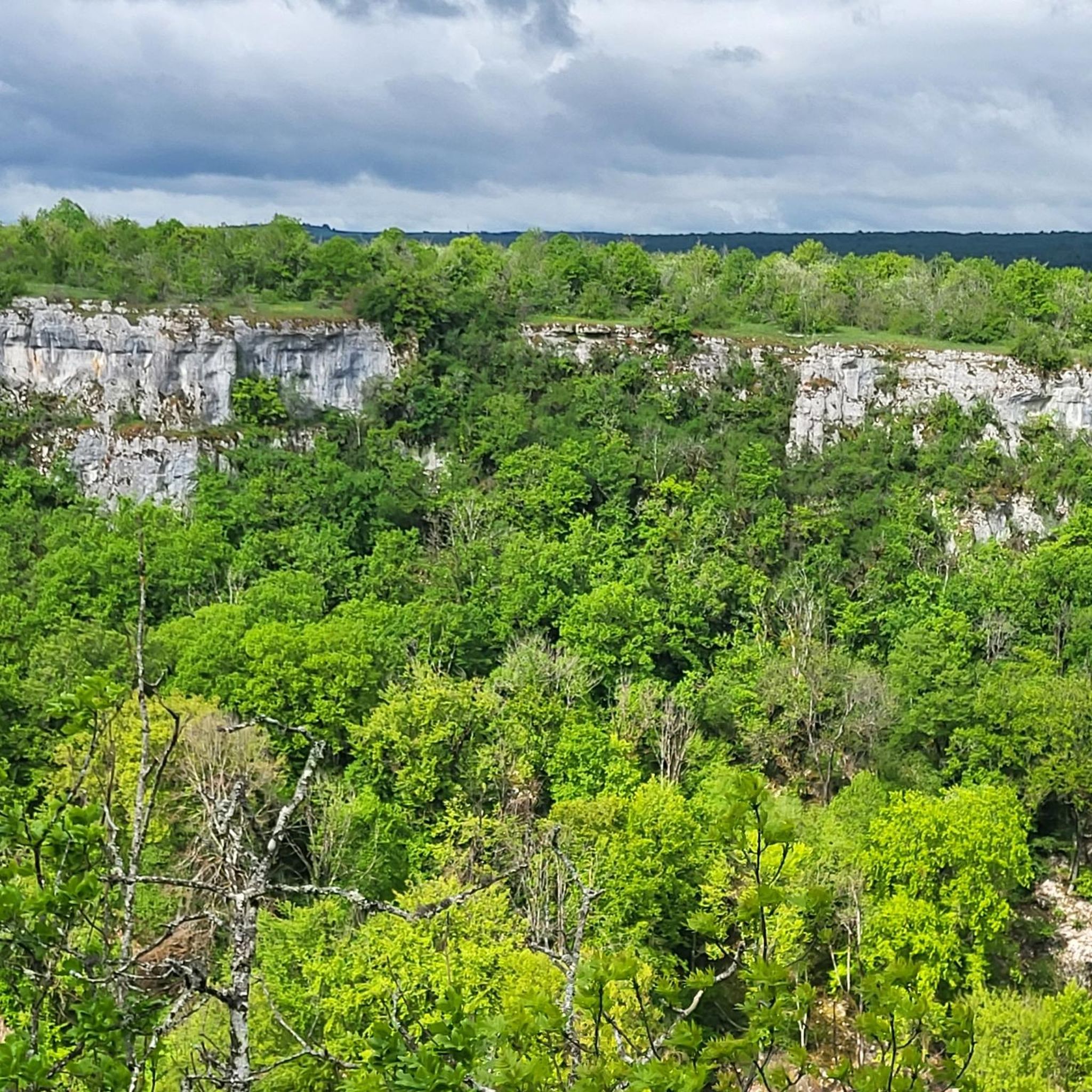
The Celerons viewpoint is accessible via a narrow path that branches off from the hiking trail. Caution! The path runs right along the edge of the cliffs. However, the view over the Combe des Vaux des Roches gorge and its foothills is fantastic and worth the short detour.
3
0

small narrow passage in the middle of the rock
0
0

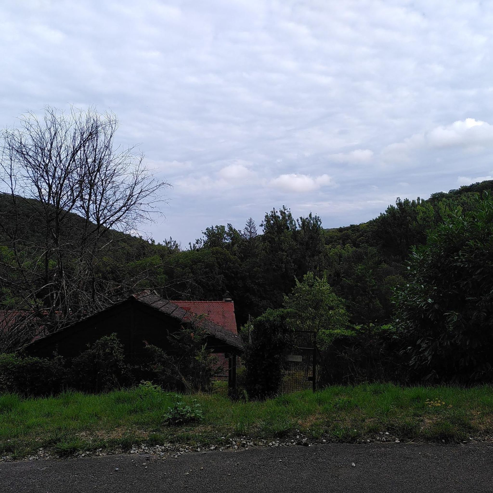
Beautiful asphalt road crossing the Val-Suzon nature reserve. The reserve has an area of 3000 ha. The natural heritage of this area is unique, it presents a rich diversity of environments: dry lawns, scree, tufa marshes located in the heart of very diverse forest habitats - from which cliffs offer landscaped viewpoints over the valley.
0
0

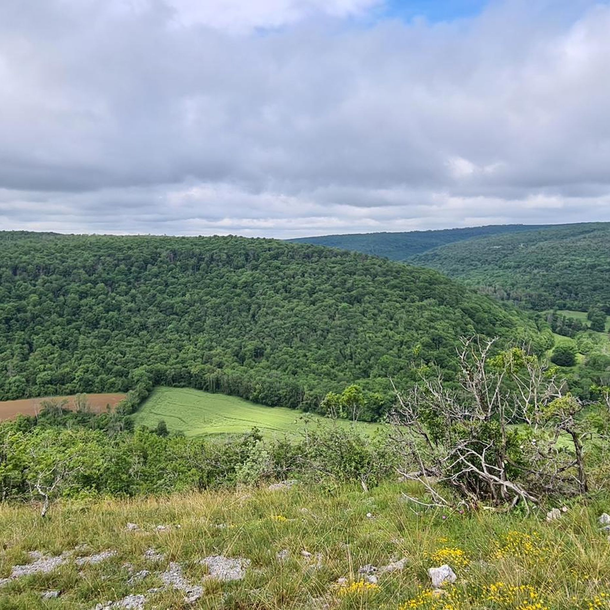
Walking up to this point, the view opens up to a sea of greenery and cliffs.
6
2
There are three caves there. One of them would have been used by smugglers who stored salt there. Is the name related to this activity?
3
0
Frequently Asked Questions
How many hiking trails are available around Curtil-Saint-Seine?
There are over 90 hiking trails in the Curtil-Saint-Seine area, offering a wide range of options from easy walks to more challenging routes. The region is known for its varied woodlands, limestone formations, and scenic valleys.
Are there easy hiking trails suitable for beginners or casual walkers?
Yes, Curtil-Saint-Seine offers 19 easy hiking trails. These routes typically feature gentler terrain and shorter distances, perfect for a relaxed outing. Many of these trails wind through the region's beautiful forested areas.
What is the typical length of hikes in Curtil-Saint-Seine?
Hikes in Curtil-Saint-Seine vary significantly in length. You can find shorter routes, such as the Celerons viewpoint – Célerons Caves loop from Val-Suzon which is about 5.3 miles (8.5 km), or longer, more challenging excursions like the View of Dijon – Val-Suzon loop from Réserve naturelle du Val-Suzon, spanning 12.1 miles (19.4 km).
Are there challenging hikes for experienced hikers in the area?
Absolutely. For experienced hikers seeking a challenge, there are 7 difficult routes available. These trails often feature significant elevation changes and longer distances, such as the Trou du Soucy loop from Francheville, which covers over 10 miles (17 km) with substantial ascent.
Can I find trails with interesting geological features like caves or chasms?
Yes, the region is rich in geological formations. The Cèlerons Caves and Creux Perçé Chasm Loop is a prime example, leading you past notable features. You can also explore highlights like the Gouffre du creux Percé and the Célerons Caves.
Are there viewpoints with scenic vistas along the hiking routes?
Many trails offer stunning views of the surrounding landscape. For example, the Magnificent view loop from Val-Suzon lives up to its name. You can also find specific viewpoints like the Celerons viewpoint, which provides expansive panoramas.
Are there any circular hiking routes in Curtil-Saint-Seine?
Yes, many of the best hikes in Curtil-Saint-Seine are circular routes, allowing you to start and end at the same point without retracing your steps. Examples include the popular Cèlerons Caves and Creux Perçé Chasm Loop and the Celerons viewpoint – Célerons Caves loop from Val-Suzon.
What do other hikers enjoy the most about hiking in Curtil-Saint-Seine?
The area is highly rated by the komoot community, with an average score of 4.3 stars from over 200 reviews. Hikers often praise the diverse terrain, the tranquility of the woodlands, and the opportunity to discover unique geological formations like caves and chasms.
Is Curtil-Saint-Seine a good destination for family-friendly hikes?
Yes, with 19 easy trails, Curtil-Saint-Seine offers several options suitable for families. These routes are generally shorter and have less challenging terrain, making them enjoyable for children and those looking for a leisurely walk in nature.
Are dogs allowed on the hiking trails in Curtil-Saint-Seine?
Generally, dogs are welcome on hiking trails in the Curtil-Saint-Seine area, especially in natural outdoor settings. However, it's always recommended to keep them on a leash, especially in protected areas or near wildlife, and to check for specific signage at trailheads regarding pet regulations.
What is the best time of year to go hiking in Curtil-Saint-Seine?
The best time for hiking in Curtil-Saint-Seine is typically from spring to autumn (April to October). During these months, the weather is generally mild and pleasant, and the natural landscape is at its most vibrant. Autumn offers beautiful fall foliage, while spring brings blooming wildflowers.
Is parking available at the trailheads in Curtil-Saint-Seine?
Yes, most popular trailheads and starting points for hikes around Curtil-Saint-Seine, particularly those near villages or natural attractions, offer designated parking areas. It's advisable to check the specific route details on komoot for information on parking availability at your chosen starting point.
Most popular routes around Curtil-Saint-Seine
Most popular attractions around Curtil-Saint-Seine

Get inspired with the komoot mobile app


Explore more
Browse the best Hikes in other regions.
