The best MTB trails around Curciat-Dongalon
4.3
(19)
62
riders
15
rides
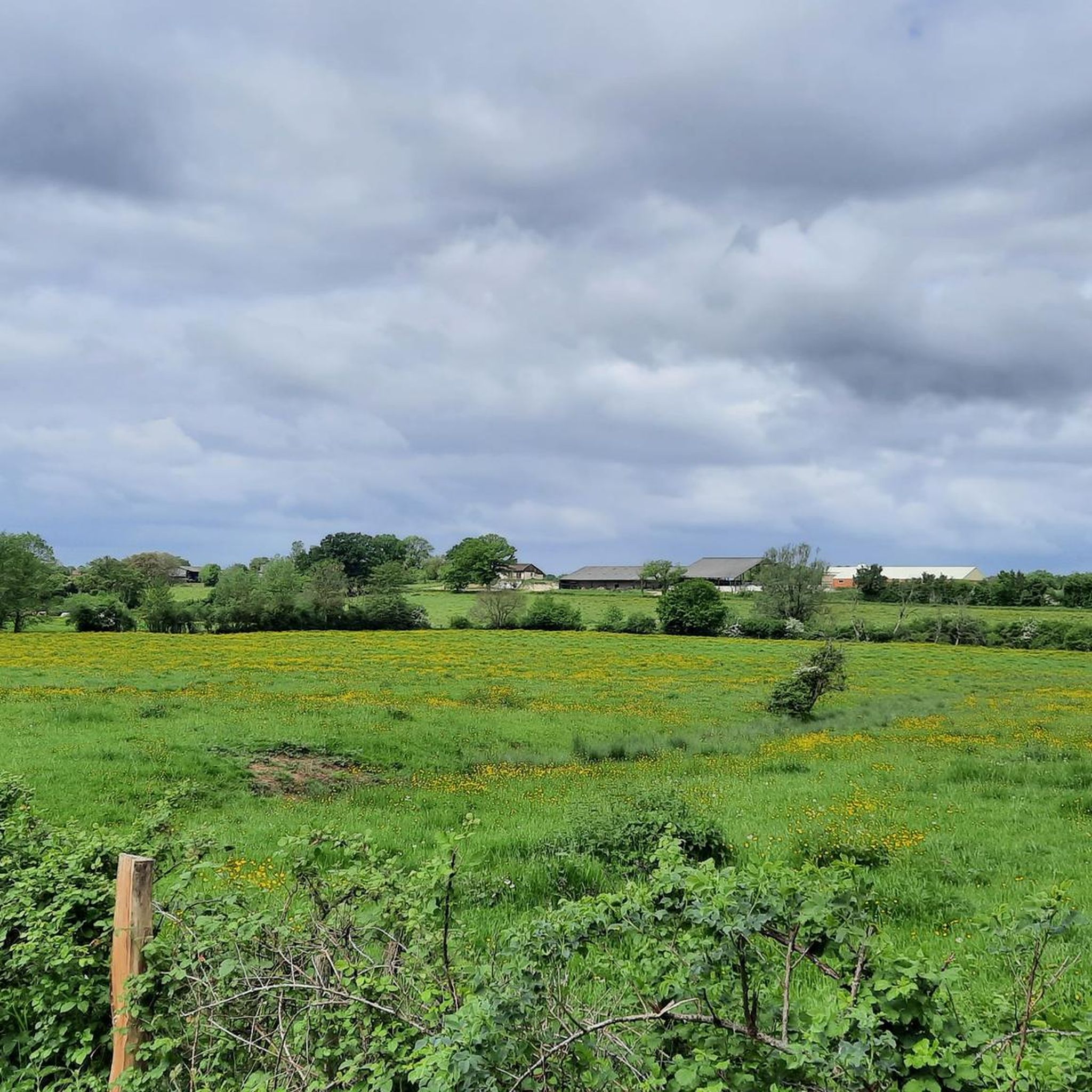
Mountain bike trails around Curciat-Dongalon are characterized by a gentle topography, with elevations ranging from 187 to 218 meters. The landscape primarily features agricultural lands, extensive prairies, and scattered forested areas. The Sâne Vive and Sâne Morte rivers also traverse the commune, offering routes along riverbanks. While the immediate area is relatively flat, its location within the Ain department provides access to more varied terrain for mountain biking enthusiasts.
Best mountain bike trails around Curciat-Dongalon
- The most popular mountain bike…
Last updated: June 27, 2026
5.0
(2)
8
riders
20.8km
01:10
140m
140m
Easy mountain bike ride. Great for any fitness level. Suitable for all skill levels.
4.0
(2)
5
riders
46.5km
02:56
240m
240m
Moderate mountain bike ride. Good fitness required. Advanced riding skills necessary.

Sign up for free
3
riders
39.0km
02:36
520m
520m
Moderate mountain bike ride. Good fitness required. Advanced riding skills necessary.
5.0
(1)
2
riders
Moderate mountain bike ride. Great for any fitness level. Advanced riding skills necessary.
4.0
(1)
3
riders
53.1km
02:58
320m
320m
Moderate mountain bike ride. Good fitness required. Suitable for all skill levels.
Get access to more routes and recommendations from other explorers.
Sign up for free
Already have an account?
Our route recommendations are based on thousands of hikes, rides, and runs completed by other people on komoot.
Start today with a free account
Your next adventure awaits.
Login or Signup


Tips from the Community


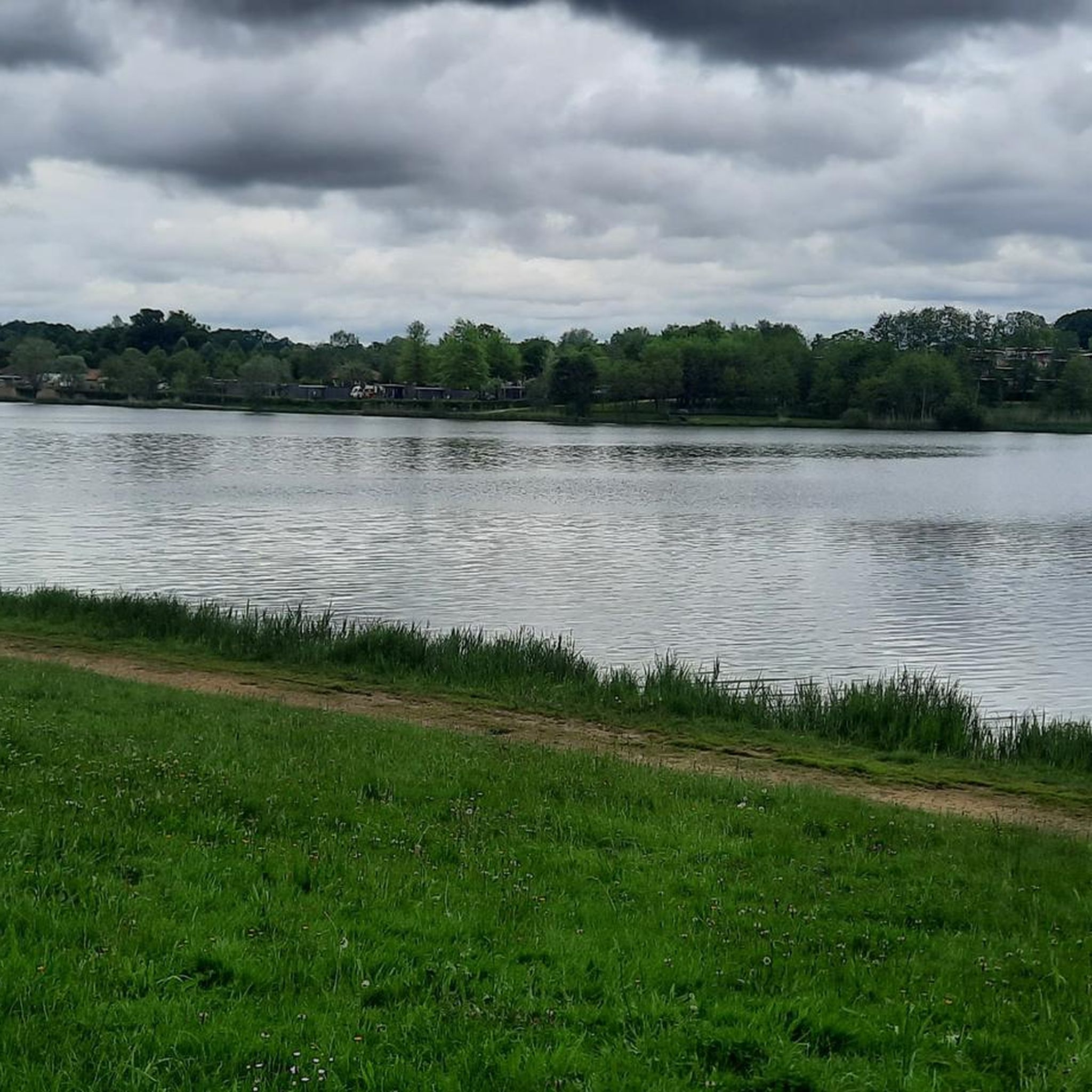
A very beautiful but bumpy path along the Seille River. Not recommended in wet conditions!
0
0

Ménetreuil is a French commune in the Saône-et-Loire department in the Bourgogne-Franche-Comté region. It belongs to the arrondissement of Louhans and the canton of Cuiseaux. The commune has 410 inhabitants, who are called Ménetreuillais or Ménetreuillaises. Wikipedia
0
0
The trail from Camping de Cuisery along the Seille to Niorde was partially under water
0
0
Cuisery is the city of books, a French commune in the Saône-et-Loire department in the Bourgogne-Franche-Comté region. It belongs to the arrondissement of Louhans and the canton of Cuiseaux
0
0
Trail through the forests of Lhomont to Petit-Biolay (partly very muddy)
0
0
In la Truchère, the river La Seille flows into the Saône, a popular excursion destination
0
0
Frequently Asked Questions
How many mountain bike trails are available around Curciat-Dongalon?
There are 14 mountain bike trails available around Curciat-Dongalon. These routes offer a mix of easy and moderate options, primarily traversing agricultural lands, prairies, and riverbanks.
What is the general terrain like for mountain biking in Curciat-Dongalon?
The immediate area of Curciat-Dongalon features a gentle topography with elevations ranging from 187 to 218 meters. You'll find routes winding through agricultural lands, extensive prairies, scattered forests, and along the Sâne Vive and Sâne Morte rivers. This makes it ideal for leisurely cycling and gravel biking. For more challenging mountain biking, the wider Ain department offers varied terrain with ridges and singletracks.
Are there mountain bike trails suitable for beginners or families?
Yes, Curciat-Dongalon offers several easy mountain bike trails perfect for beginners and families. These routes typically feature gentle gradients and scenic paths through the rural landscape. An example is the Rippe de l'Étang – Rippe du Loup loop from Mantenay-Montlin, an easy 20.4 km trail.
Can I find circular mountain bike routes in the area?
Yes, many of the mountain bike trails around Curciat-Dongalon are designed as circular routes, allowing you to start and end at the same point. For instance, the Lock – Cuisery Book Village loop from Montpont-en-Bresse is a moderate 47.0 km circular path exploring the Bressan countryside.
What about more advanced mountain biking options?
While Curciat-Dongalon itself is relatively flat, its location within the Ain department provides convenient access to more challenging mountain biking terrain. The Ain department is known for over 1,500 kilometers of marked trails, including areas like the Grand Colombier and sections of the Grande Traversée du Jura, which offer demanding climbs and varied landscapes for experienced riders.
What kind of natural features or viewpoints can I expect to see along the trails?
The trails in Curciat-Dongalon offer views of agricultural lands, prairies, and the meandering Sâne Vive and Sâne Morte rivers. While specific viewpoints are not highlighted, the tranquil rural environment provides picturesque scenery. You might also encounter natural features like Louvarel Lake or the forested area of Domaine des Druides, which are nearby attractions.
Are there any interesting landmarks or places to explore near the mountain bike routes?
Yes, there are several interesting landmarks and places to explore. You could visit the historic Moulin de Veyriat, or the unique Brick-drying yard of Saint-Trivier-de-Courtes. These attractions offer a glimpse into the local heritage and natural beauty of the region.
What do other mountain bikers enjoy the most about mountain biking in Curciat-Dongalon?
The mountain bike trails around Curciat-Dongalon are highly rated by the komoot community, with an average score of 4.4 stars from more than 10 reviews. Reviewers often praise the serene Bressan countryside, the peaceful routes along riverbanks, and the well-maintained paths through farmlands, making for an enjoyable and accessible riding experience.
Is it possible to access mountain bike trails using public transport?
Accessing mountain bike trails directly by public transport in the rural area of Curciat-Dongalon can be challenging. It is generally recommended to travel by car to reach the starting points of the trails, where parking is usually available in nearby villages or designated areas.
What is the best time of year for mountain biking in Curciat-Dongalon?
The best time of year for mountain biking in Curciat-Dongalon is typically during spring, summer, and early autumn. These seasons offer pleasant weather conditions, with lush green landscapes in spring and summer, and beautiful autumnal colors later in the year. The gentle terrain makes it enjoyable even when conditions are not perfectly dry.
Are the mountain bike trails around Curciat-Dongalon dog-friendly?
Many of the rural trails around Curciat-Dongalon are generally dog-friendly, especially those traversing agricultural lands and forests. However, it's always advisable to keep dogs on a leash, particularly when passing through farmland or near livestock, and to check local regulations or specific trail signage for any restrictions.
Are there any moderate difficulty mountain bike trails available?
Yes, there are 10 moderate difficulty mountain bike trails around Curciat-Dongalon. These routes offer a bit more distance and varied terrain compared to the easy trails, while still being accessible. An example is the Cuiseaux – Nice view loop from Varennes-Saint-Sauveur, a 37.6 km trail that takes about 2 hours 25 minutes to complete.
Most popular attractions around Curciat-Dongalon

Get inspired with the komoot mobile app


Explore more
Browse the best MTB trails in other regions.
