The best mountain hikes around La Roque-Alric
5.0
(6)
14
hikers
3
hikes
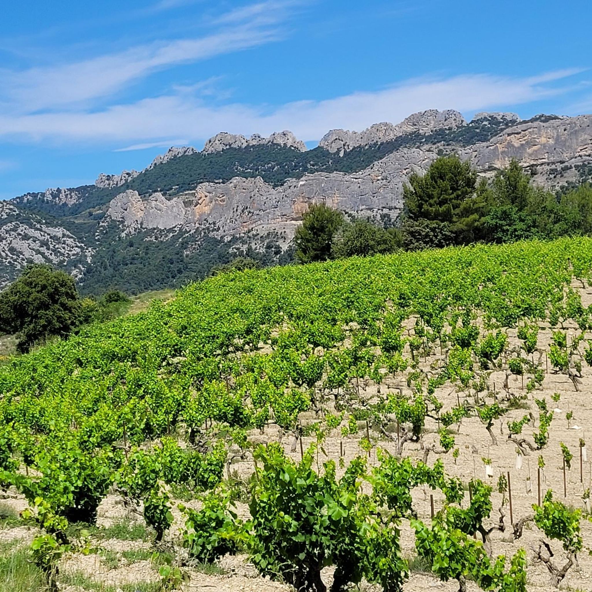
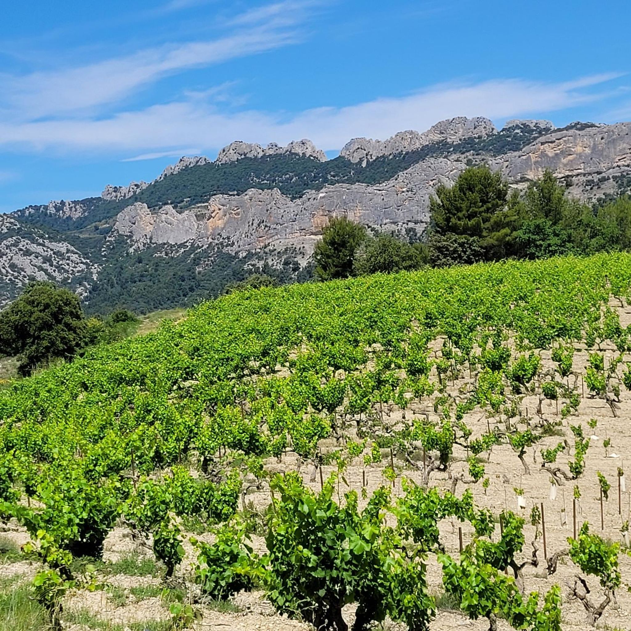
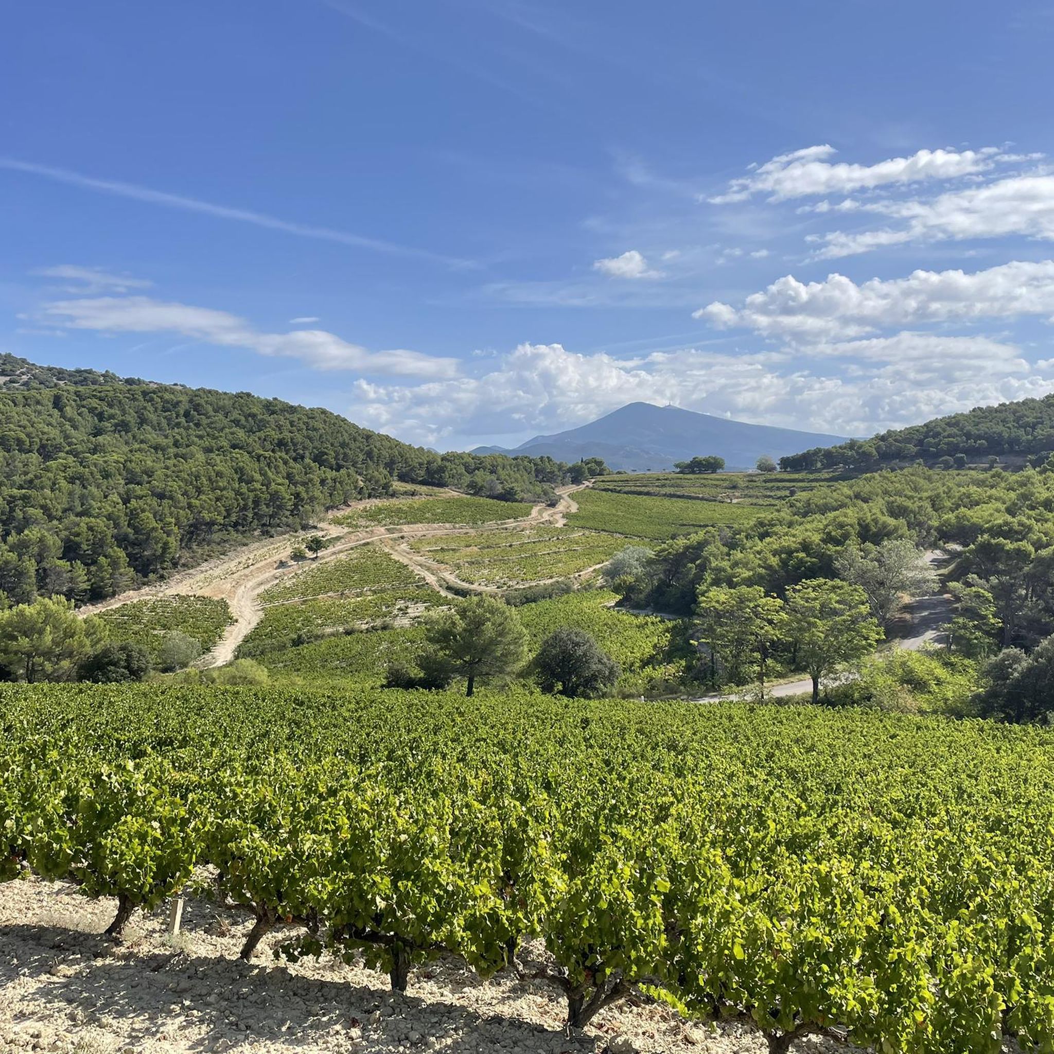
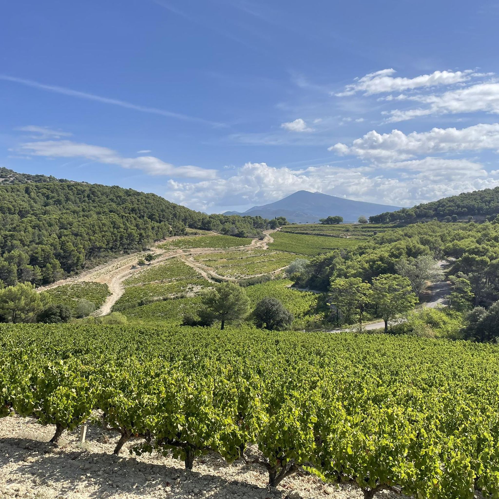
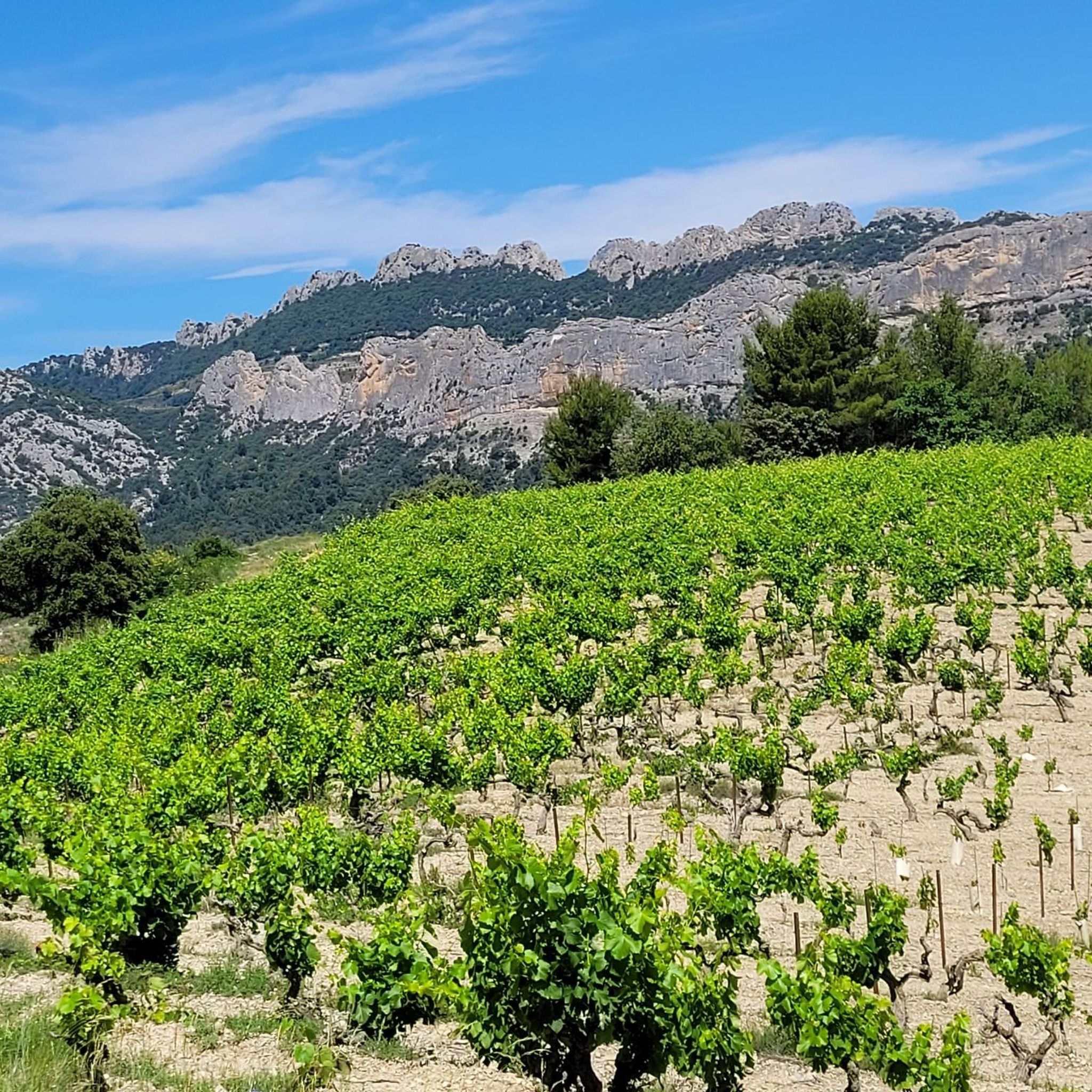
Mountaineering routes around La Roque-Alric are set within the picturesque Vaucluse department of France, characterized by its dramatic Jurassic limestone formations, notably the Dentelles de Montmirail. This region offers rugged terrain with significant elevation changes, providing a challenging environment for outdoor activities. The landscape includes rocky spurs, expansive plains, and views towards Mont Ventoux, alongside scenic vineyard areas. The small massif of La Roque-Alric is composed of Jurassic and Cretaceous limestone rocks, contributing to the distinct geological character of the…
Last updated: June 24, 2026
5.0
(2)
10
hikers
4.90km
01:47
230m
230m
Hard mountaineering route. Great for any fitness level. Sure-footedness, sturdy shoes and alpine experience required.
5.0
(2)
2
hikers
9.89km
03:03
370m
360m
Moderate mountaineering route. Good fitness required. Easily-accessible paths. Suitable for all skill levels.

Sign up for free
5.0
(2)
2
hikers
11.7km
03:57
480m
480m
Hard mountaineering route. Good fitness required. Sure-footedness, sturdy shoes and alpine experience required.
Our route recommendations are based on thousands of hikes, rides, and runs completed by other people on komoot.
Start today with a free account
Your next adventure awaits.
Login or Signup

Tips from the Community

Very steep (vertical) climb after about 2 km can be avoided by a small detour.
0
0


hiking shoes recommended as it is steep.
0
0

tough climbing and scrambling in some parts but doable, the views are really beautiful!
0
0

Access via a small goat path to the summit of the Dentelles, 360° viewpoint over the Comtat Venaissin
1
0

nice rest area with the possibility to climb the Rocher du MIDI on foot
1
0

Here you are in the heart of the Dentelles de Montmirail, a series of three limestone ridges. The view of the rocks, forests and vineyards is breathtaking.
3
0

The Dentelles de Montmirail are divided into three parallel chains. The central one, the Dentelles Sarrasines, is the smallest but the highest, culminating at 667 meters. A technical but sublime place, with a view of Mont Ventoux.
0
0
Frequently Asked Questions
How many mountaineering routes are available around La Roque-Alric?
You can explore 4 distinct mountaineering routes around La Roque-Alric, offering a variety of challenges and scenic views.
What is the typical difficulty of mountaineering routes in this region?
The mountaineering routes around La Roque-Alric are generally challenging. Out of the 4 available, 3 are rated as difficult, and 1 is moderate. This reflects the rugged terrain and significant elevation changes found in the Dentelles de Montmirail area.
Are there any circular mountaineering routes near La Roque-Alric?
Yes, all the listed mountaineering routes around La Roque-Alric are circular. For example, you could try the Col du Cayron loop from Gigondas, which is a difficult 3.0-mile trail, or the longer Col du Cayron – Col d'Alsau loop from Lafare, spanning 4.8 miles.
What kind of terrain can I expect on these mountaineering trails?
The terrain around La Roque-Alric is characterized by dramatic Jurassic limestone formations, particularly in the Dentelles de Montmirail. You'll encounter rocky spurs, significant elevation changes, and paths winding through picturesque vineyard landscapes, offering a challenging and varied experience.
What natural landmarks or viewpoints can I see while mountaineering here?
Mountaineering in La Roque-Alric offers stunning panoramic views. You'll frequently see the dramatic 'tooth-like' formations of the Dentelles de Montmirail, the expansive Plaine du Comtat, and even distant views of Mont Ventoux. The village itself, perched on a rocky spur, also provides splendid vistas.
Are there any interesting places to explore near the mountaineering routes?
Absolutely! Beyond the trails, you can explore several fascinating highlights. Consider visiting the historic Vaison-la-Romaine Roman Bridge, the charming Crestet Village, or the impressive View of the Château du Barroux. For those interested in cycling, the Madeleine Pass is also nearby.
What do other mountaineers enjoy most about the routes in La Roque-Alric?
The routes in La Roque-Alric are highly rated by the komoot community, with an average score of 4.6 stars. Mountaineers often praise the challenging ascents, the rugged beauty of the Dentelles de Montmirail, and the rewarding panoramic viewpoints.
Is there a longer, more challenging mountaineering route available?
For a longer and challenging experience, consider The Dentelles de Montmirail – Chemin de Cayron loop from Gigondas. This difficult route covers 7.3 miles (11.7 km) and involves significant elevation gain, taking approximately 3 hours and 57 minutes to complete.
What is the best time of year for mountaineering in La Roque-Alric?
While specific seasonal advice isn't provided, the region's Mediterranean climate generally makes spring and autumn ideal for outdoor activities, avoiding the intense heat of summer and potential winter conditions at higher elevations. Always check local weather forecasts before heading out.
Are there any routes that connect multiple mountain passes?
Yes, the Col du Cayron – Col d'Alsau loop from Lafare is a notable route that navigates through varied terrain, connecting two mountain passes, offering a dynamic and engaging mountaineering experience.
What is the shortest mountaineering route for a quick but challenging outing?
If you're looking for a shorter, yet still difficult, mountaineering experience, the Col du Cayron loop from Gigondas is a great option. It's 3.0 miles (4.9 km) long and typically takes about 1 hour and 46 minutes to complete, ascending to a mountain pass with rewarding views.
Most popular routes around La Roque-Alric
Most popular attractions around La Roque-Alric

Get inspired with the komoot mobile app


Explore more
Browse the best Mountain Hikes & Routes in other regions.
