The best walks and hikes around Loriol-Du-Comtat
4.5
(2326)
12,422
hikers
369
hikes
Hiking around Loriol-Du-Comtat offers a network of trails primarily characterized by flat terrain and agricultural landscapes. The region features numerous canals, such as the Canal de Carpentras, which provide level paths suitable for walking. Vineyards and open fields are common sights, with minimal elevation changes across most routes. These conditions make the area accessible for various hiking abilities.
Best hiking trails around Loriol-Du-Comtat
- The most popular hiking route is Canal de Carpentras – Via Venaissia loop from Aubignan, a…
Last updated: June 25, 2026
4.0
(4)
12
hikers
9.34km
02:25
50m
50m
Moderate hike. Good fitness required. Easily-accessible paths. Suitable for all skill levels.
4.3
(3)
6
hikers
7.46km
01:57
50m
50m
Easy hike. Great for any fitness level. Easily-accessible paths. Suitable for all skill levels.

Sign up for free
13
hikers
7.34km
01:52
30m
30m
Easy hike. Great for any fitness level. Easily-accessible paths. Suitable for all skill levels.
4.5
(4)
14
hikers
Easy hike. Great for any fitness level. Easily-accessible paths. Suitable for all skill levels.
3.0
(2)
21
hikers
8.99km
02:20
60m
60m
Moderate hike. Good fitness required. Easily-accessible paths. Suitable for all skill levels.
Get access to more routes and recommendations from other explorers.
Sign up for free
Already have an account?
Our route recommendations are based on thousands of hikes, rides, and runs completed by other people on komoot.
Start today with a free account
Your next adventure awaits.
Login or Signup

Tips from the Community

This bridge does not cross the Toulourenc but La Mède near Loriot du Comtat
0
0

Former train station converted into a restaurant. A superb shaded spot for a break.
0
0

View of the legendary Giant of Provence from the Via Venaissia at the exit of Carpentras.
1
0

old railway bridges, very nice to look at
0
0

Beautiful railway cycle path and beautiful reuse of the old train station.
1
0
Beautiful railway cycle path, beautiful bridge. Only one of this kind.
2
0
Beautiful railway cycle path
2
0

The old railway bridge now serves as a car-free pedestrian connection. This section is also highly recommended because of the beautiful views from the bridge. The footpath and cycle path, built on a former railway line, runs for 60 km from Carpentras to Les Crémades.
2
0
Frequently Asked Questions
How many hiking trails are there in Loriol-Du-Comtat?
Loriol-Du-Comtat offers a wide selection of hiking opportunities, with over 330 routes available. These include a mix of easy, moderate, and some more challenging options, catering to various skill levels.
Are there easy hiking trails suitable for beginners or families?
Yes, the region is well-suited for easy hikes, with over 110 routes classified as easy. Many trails follow the flat paths alongside canals and through vineyards, making them ideal for beginners or families. An example is the Canal de Carpentras – Via Venaissia loop from Carpentras, which is 4.6 miles (7.4 km) long and generally flat.
Can I find challenging hikes in the area?
While the terrain around Loriol-Du-Comtat is predominantly flat, there are still about 47 routes classified as difficult for those seeking more of a challenge. These routes might involve longer distances or slightly more varied terrain, though significant elevation changes are rare in the immediate vicinity.
Are there any circular walks around Loriol-Du-Comtat?
Many of the popular routes in Loriol-Du-Comtat are circular, allowing you to start and end at the same point. For instance, the Canal de Carpentras – Via Venaissia loop from Aubignan is a moderate 5.8-mile (9.3 km) circular trail that takes you along the historic Canal de Carpentras.
What kind of scenery can I expect on hikes in Loriol-Du-Comtat?
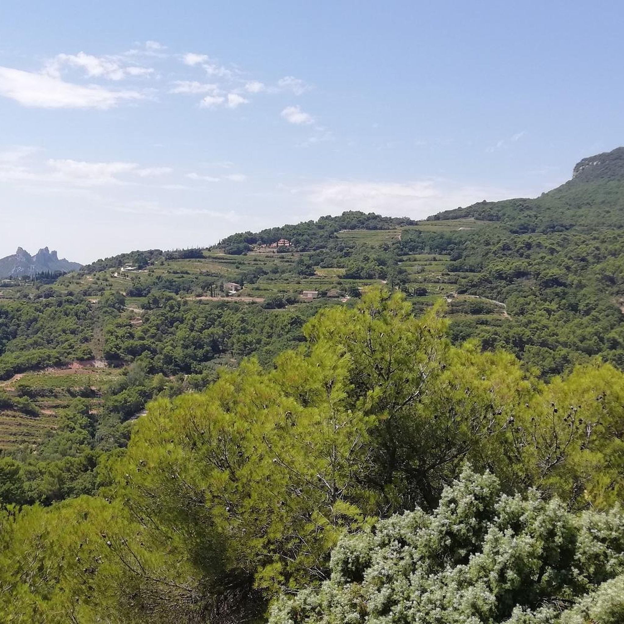
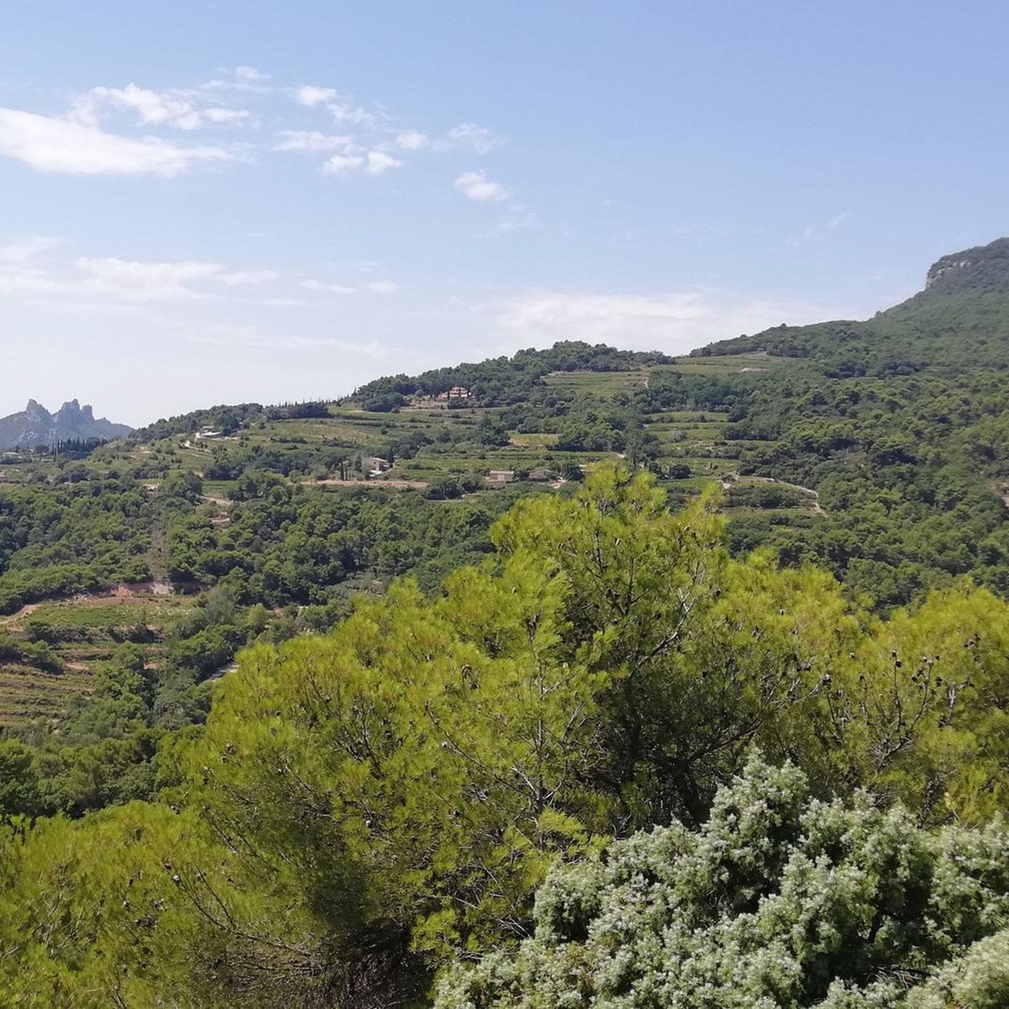
Hikes in Loriol-Du-Comtat primarily feature agricultural landscapes, including extensive vineyards and open fields. The region is characterized by numerous canals, such as the Canal de Carpentras, which provide pleasant waterside paths. You can also find scenic viewpoints offering glimpses of the surrounding countryside and distant mountains like the Dentelles de Montmirail or even Mont Ventoux.
Are dogs allowed on the hiking trails?
Generally, dogs are welcome on most public hiking trails in the Loriol-Du-Comtat area, especially on the canal paths and through agricultural lands. It's always advisable to keep them on a leash, particularly when passing through vineyards or near livestock, and to respect local regulations.
What are some interesting places to see or landmarks along the trails?
Along the trails, you can explore charming villages and natural features. Highlights include the historic Via Venaissia, the picturesque village and vineyards of Beaumes-de-Venise, and the serene Lake Paty. The dramatic rock formations of the Dentelles de Montmirail are also a prominent natural monument nearby.
What is the best time of year to go hiking in Loriol-Du-Comtat?
The best time for hiking in Loriol-Du-Comtat is typically during spring (April to June) and autumn (September to October). During these seasons, the weather is mild and pleasant, and the landscapes are vibrant with spring blooms or autumn colors. Summers can be very hot, making early mornings or late afternoons more suitable for hiking.
Are there options for winter hiking?
Winter hiking is possible in Loriol-Du-Comtat, as the region generally experiences mild winters with little to no snow on the lower trails. The flat canal paths remain accessible, offering peaceful walks through the quiet winter landscape. Always check local weather conditions before heading out.
What do other hikers say about the trails in Loriol-Du-Comtat?
The hiking routes in Loriol-Du-Comtat are highly rated by the komoot community, with an average score of 4.5 stars from over 2,000 reviews. Hikers often praise the well-maintained canal paths, the tranquil vineyard scenery, and the accessibility of the trails for various fitness levels.
Can I combine hiking with exploring local villages or vineyards?
Absolutely. Many trails pass directly through or near charming Provençal villages and extensive vineyards. You can easily integrate a visit to a local market, a wine tasting, or a stop at a café into your hiking itinerary. The region's focus on agriculture means you're often walking right through the heart of its produce.
Are there any trails that feature water or canals?
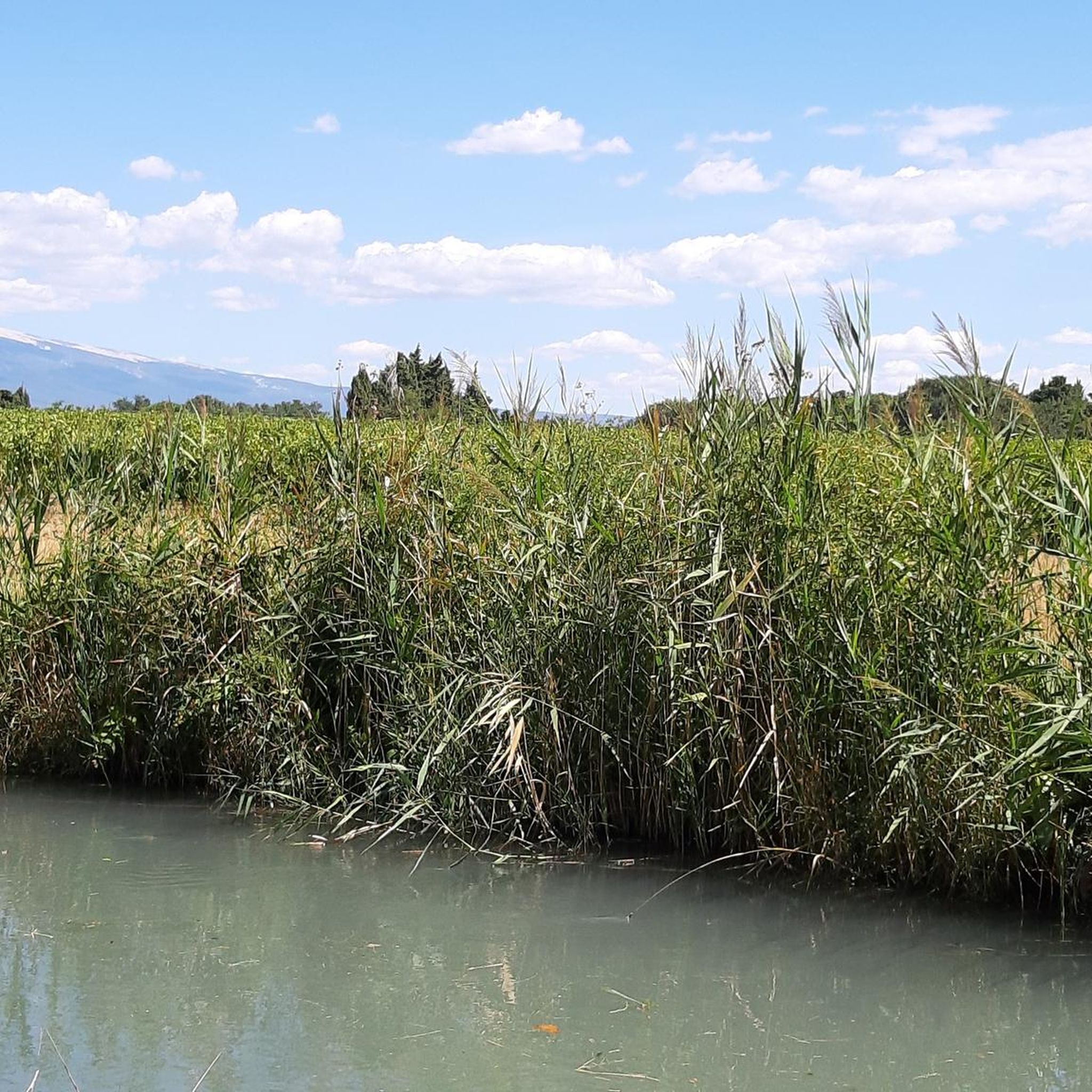
Yes, the region is defined by its network of canals, most notably the Canal de Carpentras. Many hiking routes follow these canals, offering flat, shaded paths and the soothing presence of water. The Carpentras Canal – Canal de Carpentras loop from Carpentras is a prime example, offering continuous canal-side views.
Most popular routes around Loriol-Du-Comtat
Most popular attractions around Loriol-Du-Comtat

Get inspired with the komoot mobile app


Explore more
Browse the best Hikes in other regions.
