The best road cycling routes around La Boisse
4.4
(246)
3,745
riders
346
rides
Road cycling routes around La Boisse are situated within the Côtière region, characterized by a hillside along the Rhône River and views towards the Alpine Massif. The terrain offers a mix of flat and gently rolling sections, with elevations ranging from 179 to 319 meters above sea level. The landscape features extensive agricultural land and forests, providing diverse scenery for rides. The nearby Dombes plateau, known for its lakes, also contributes to the varied cycling environment.
Best road cycling routes…
Last updated: July 4, 2026
4.8
(5)
24
riders
40.8km
01:49
220m
220m
Easy road ride. Great for any fitness level. Mostly well-paved surfaces and easy to ride.
4.3
(4)
43
riders
59.1km
02:24
220m
220m
Moderate road ride. Good fitness required. Some segments of this route may be unpaved and difficult to ride.

Sign up for free
60
riders
47.8km
02:27
680m
680m
Moderate road ride. Good fitness required. Mostly well-paved surfaces and easy to ride.
4.2
(20)
45
riders
33.7km
01:28
140m
140m
Easy road ride. Great for any fitness level. Mostly well-paved surfaces and easy to ride.
4.0
(2)
37
riders
59.3km
02:38
360m
360m
Moderate road ride. Good fitness required. Mostly well-paved surfaces and easy to ride.
Get access to more routes and recommendations from other explorers.
Sign up for free
Already have an account?
Our route recommendations are based on thousands of hikes, rides, and runs completed by other people on komoot.
Start today with a free account
Your next adventure awaits.
Login or Signup
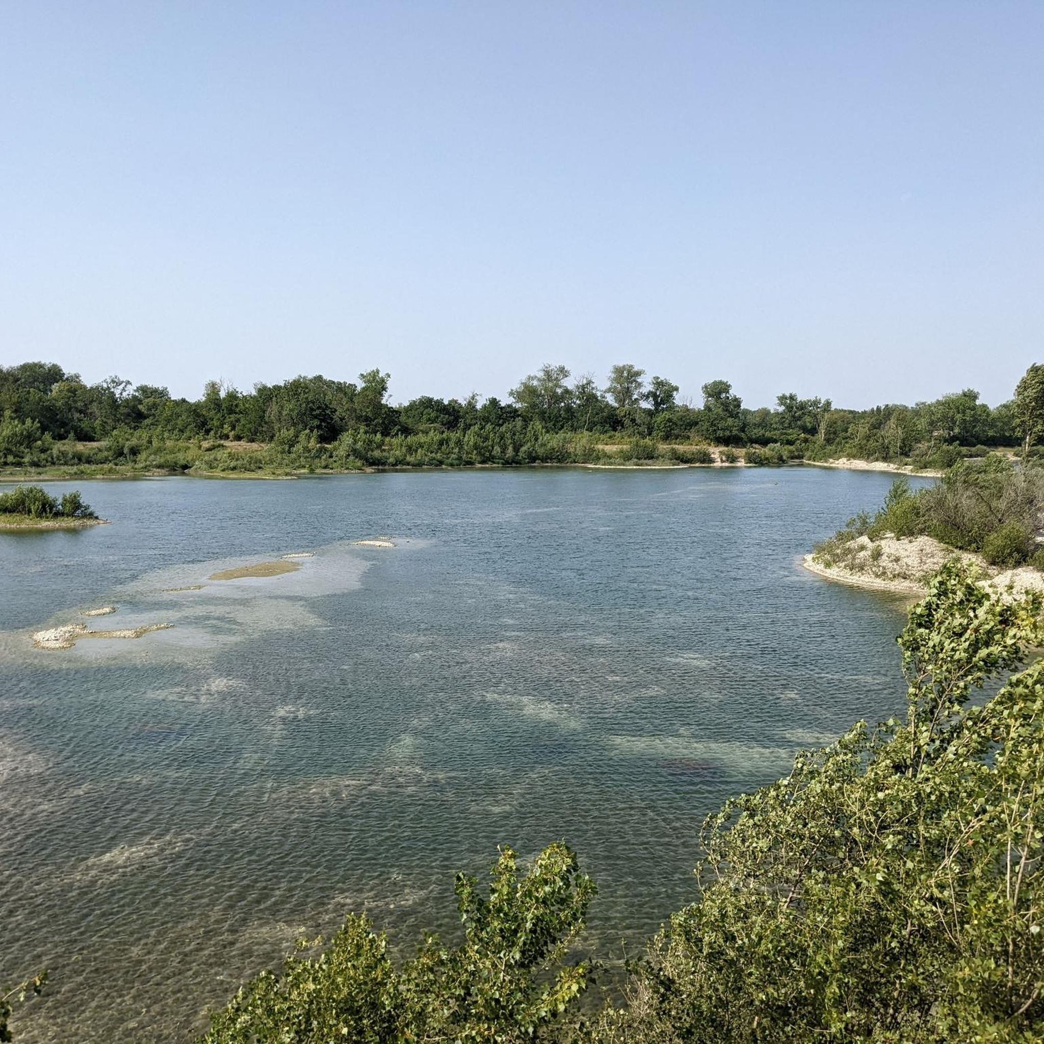
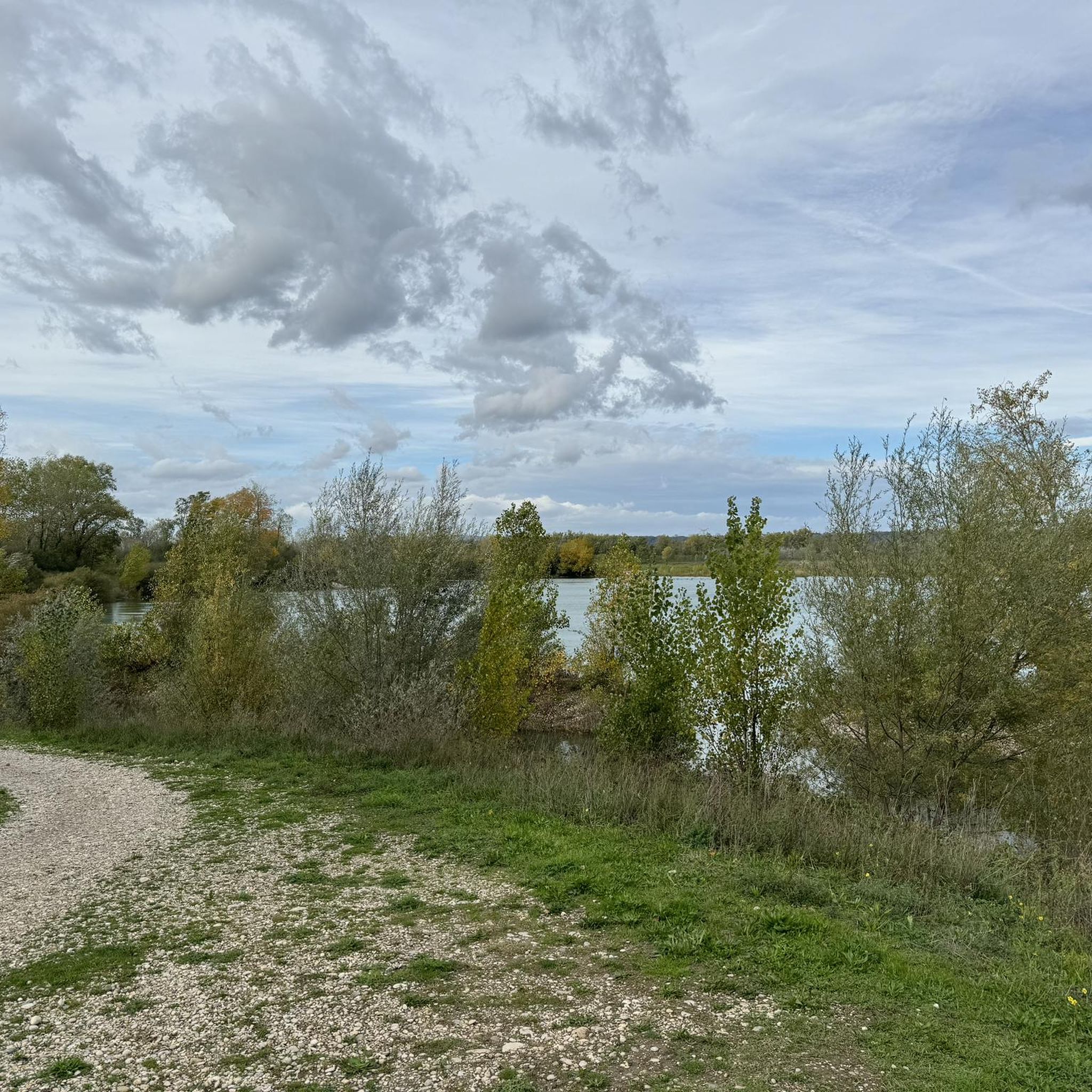
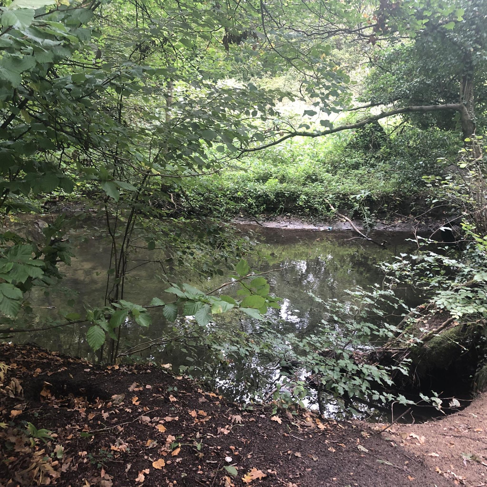
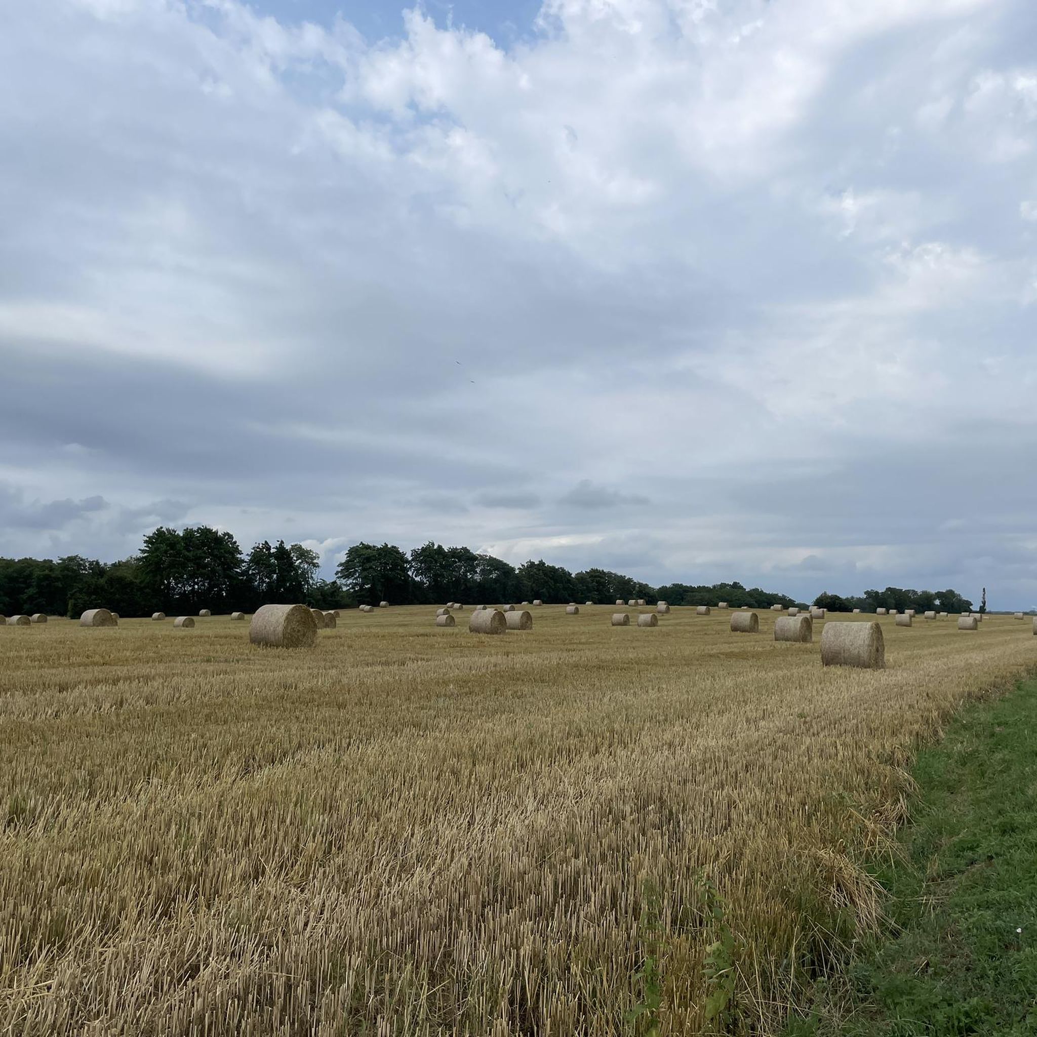
Tips from the Community

A gentler, less crowded climb without steep gradients. Ideal!
0
0

Superb climb to pass in front of the Madonna...especially when there are few cars :)
0
0

we breathe well with beautiful landscapes
0
0

A beautiful footbridge leads to the towpath. From there, it's a long, straight stretch to the Herbens Bridge. A pleasant walk in good weather.
1
0

Public fountain at Mas Rillier.
0
0

Nice little town, very calm and relaxing.
0
0
Frequently Asked Questions
How many road cycling routes are available around La Boisse?
There are over 300 road cycling routes around La Boisse, offering a wide variety of options for different skill levels. The komoot community has explored these routes extensively, with more than 3,000 road cyclists using komoot to discover the area's diverse terrain.
What kind of terrain can I expect on road cycling routes around La Boisse?
The terrain around La Boisse is quite varied. You'll find a mix of flat and gently rolling sections within the Côtière region, with elevations ranging from 179 to 319 meters above sea level. The landscape features extensive agricultural land and forests, providing diverse scenery. To the east, the Dombes plateau offers unique landscapes dotted with numerous ponds, while routes along the Rhône River provide flatter sections. The broader Ain department, which La Boisse is part of, is known for its diverse cycling itineraries, from peaceful roads between farms to more challenging climbs in areas like Bugey.
Are there easy road cycling routes suitable for beginners or families?
Yes, La Boisse offers a good selection of easy road cycling routes. Approximately 66 routes are classified as easy, making them suitable for beginners or family outings. A popular easy route is the Medieval Town of Pérouges Loop from Montluel, which is about 40.8 km long and takes less than two hours to complete. Another accessible option is the Jons Road Bridge loop from Montluel, covering 37.5 km with minimal elevation gain.
Are there challenging road cycling routes in La Boisse for experienced riders?
Yes, for experienced riders seeking a challenge, La Boisse and the surrounding Ain department offer routes with notable climbs. While the immediate area has moderate options, the broader region, particularly towards the Bugey and Pays de Gex areas, is known for mythical climbs and demanding routes. Within the immediate vicinity, routes like the Madonna of Mas Rillier – Montée Neuve de Neyron loop from Beynost feature varied terrain with significant elevation gain, often completed in about 2 hours 27 minutes. There are 32 routes classified as difficult in the area.
What interesting sights or landmarks can I see along the road cycling routes?
Many road cycling routes around La Boisse offer scenic views and pass by interesting landmarks. You can cycle towards the historic Medieval Town of Pérouges. Other routes, such as the Miribel ford – Blue Waters Lake loop from Beynost, take you around the expansive Miribel-Jonage Park, featuring lakes like Blue Waters Lake and the Grand Brotteau Peninsula. You might also encounter the Madonna of Mas Rillier, a notable monument.
What do other road cyclists enjoy the most about road cycling in La Boisse?
The road cycling experience around La Boisse is highly rated by the komoot community, with an average score of 4.5 stars from over 200 reviews. Cyclists often praise the varied terrain, which includes rolling hills, flat plains, and routes along the Rhône River, catering to different ability levels. The scenic landscapes, encompassing agricultural lands, forests, and the unique Dombes region with its ponds, are also frequently highlighted as enjoyable aspects of the rides.
Are there any loop road cycling routes around La Boisse?
Yes, many of the road cycling routes around La Boisse are designed as loops, allowing you to start and finish at the same point. Examples include the popular Medieval Town of Pérouges Loop from Montluel, the Miribel ford – Blue Waters Lake loop from Beynost, and the Madonna of Mas Rillier – Mas Rillier Climb loop from Montluel. These circular routes make planning your ride convenient.
What is the best time of year for road cycling in La Boisse?
The Auvergne-Rhône-Alpes region, including La Boisse, generally offers pleasant cycling conditions from spring through autumn. Spring brings blooming landscapes, while summer provides warm weather for longer rides. Autumn offers cooler temperatures and beautiful fall foliage. It's always advisable to check local weather forecasts before heading out, as conditions can vary.
Is there parking available near the road cycling routes in La Boisse?
While specific parking areas are not detailed for every route, La Boisse and its surrounding towns like Montluel and Beynost, which serve as common starting points for many routes, typically offer public parking facilities. You can usually find parking in town centers or near popular attractions and parks. It's recommended to check local maps or komoot tour details for specific parking suggestions at your chosen starting point.
Can I access road cycling routes in La Boisse using public transport?
La Boisse is located northeast of Lyon, and while direct public transport access to specific trailheads might be limited, the broader Ain department is well-connected. You can often reach larger towns in the region by train or bus, and then cycle from there. For detailed information on public transport options to La Boisse or nearby starting points, it's best to consult regional transport websites.
Where can I find more information about the broader cycling network in the Ain department?
The Ain department is renowned for its extensive cycling infrastructure, known as the "L'Ain à Vélo" network, which features nearly 1,100 km of signposted routes. For more comprehensive information on this network, including itineraries and passes, you can visit the official Ain Tourism website: L'Ain à Vélo.
Most popular attractions around La Boisse

Get inspired with the komoot mobile app


Explore more
Browse the best Road cycling routes in other regions.
