The best walks and hikes around Beautor
4.5
(174)
760
hikers
114
hikes
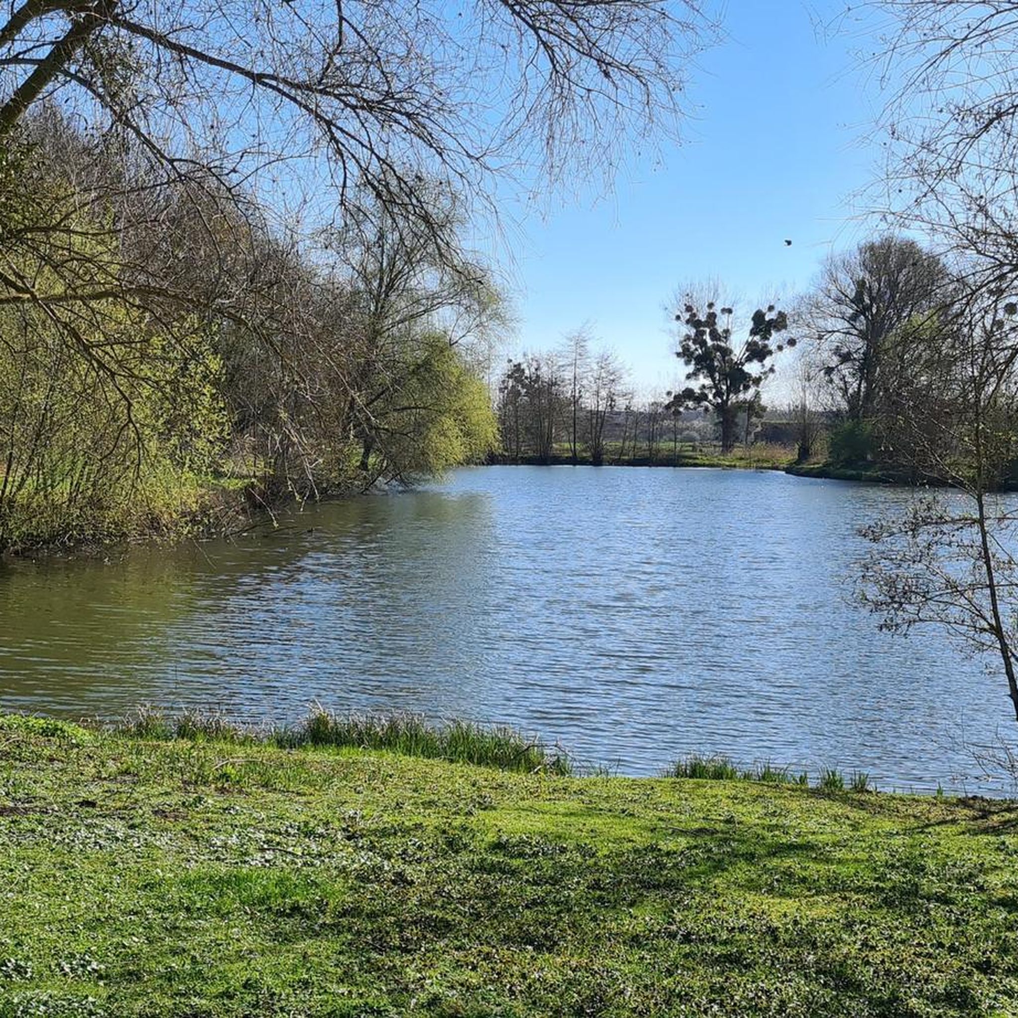
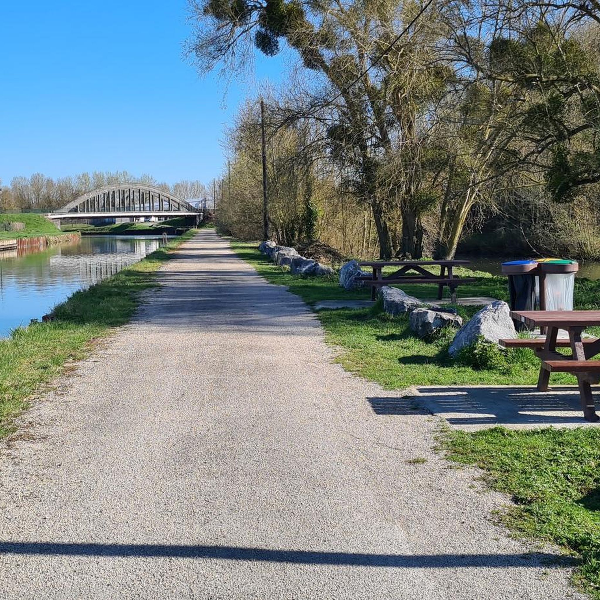
Hiking around Beautor offers diverse natural landscapes within the Aisne department of the Hauts-de-France region. The area is characterized by its hydrological network, including the Canal de la Sambre à l'Oise and the Oise River, alongside expansive agricultural meadows. Hikers can explore prairies recognized for their ecological value, featuring a mosaic of habitats and fragments of alluvial woodlands. The terrain generally includes gentle elevations, making it accessible for various hiking abilities.
Best hiking trails around Beautor
- The most popular hiking…
Last updated: July 1, 2026
5
hikers
8.50km
02:09
20m
20m
Moderate hike. Good fitness required. Easily-accessible paths. Suitable for all skill levels.
5.0
(2)
6
hikers
9.32km
02:21
20m
20m
Moderate hike. Good fitness required. Easily-accessible paths. Suitable for all skill levels.

Sign up for free
5.0
(1)
2
hikers
11.0km
02:52
80m
80m
Moderate hike. Good fitness required. Easily-accessible paths. Suitable for all skill levels.
2
hikers
6.22km
01:35
20m
20m
Easy hike. Great for any fitness level. Easily-accessible paths. Suitable for all skill levels.
3
hikers
6.19km
01:34
10m
10m
Easy hike. Great for any fitness level. Easily-accessible paths. Suitable for all skill levels.
Get access to more routes and recommendations from other explorers.
Sign up for free
Already have an account?
Our route recommendations are based on thousands of hikes, rides, and runs completed by other people on komoot.
Start today with a free account
Your next adventure awaits.
Login or Signup



Tips from the Community

The bell tower of the Veltin School, visible from the Rue de la Famille Sauvage (Quessy-Cité), still marks the time of the bombing that devastated the city during the night of 10 to 11 April 1944.
7
0
Tergnier where Art Deco is omnipresent. Its most representative examples are Place Carnégie (classified as a historic monument), the Town Hall and the Fargniers church. The media library, a former station buffet, is a site that became historic with the arrival of Victor Hugo in 1870 who had his first meal on French soil there upon his return from exile. The bell tower of the Veltin school, visible from rue de la Famille Sauvage (Quessy-Cité), still indicates the time of the bombing which ravaged the city on the night of April 10 to 11, 1944. Seven tourist signs, located in the city to constitute the Trails of Memory, retrace acts of war or resistance during the Second World War which took place in the territory.
6
0


The clock of this bell tower still marks the time of the dramatic bombardment of the night of April 10 to 11, 1944 which destroyed three quarters of this wonderful city of railway workers.
2
0


Tergnier is a garden city for railway workers. After the First World War, the completely destroyed city had to be rebuilt: Tergnier thus became the site of the construction of the largest garden city of the railway company. It was created in 1919 to accommodate railway workers (hence its name). Very influenced by the art deco style of these years of the beginning of the 20th century, one finds there more surprisingly many Masonic symbols while browsing its streets.
3
0
Frequently Asked Questions
How many hiking trails are available around Beautor?
There are over 100 hiking routes around Beautor, offering a variety of experiences. Approximately half of these are rated as easy, and the other half as moderate, ensuring options for different fitness levels.
What kind of terrain can I expect on hikes in the Beautor area?
The terrain around Beautor is characterized by gentle elevations, making it accessible for various hiking abilities. You'll encounter expansive agricultural meadows, parts of the Seine-Normandie basin, and areas influenced by the Canal de la Sambre à l'Oise and the Oise River. Some routes also pass through fragments of alluvial woodlands and ecologically significant prairies.
Are there any family-friendly hiking options near Beautor?
Yes, many of the trails around Beautor are suitable for families, with 53 routes classified as easy. These often feature gentle terrain and shorter distances. For example, the Tergnier – Veltin School bell tower loop from Tergnier is an easy 7.4 km path that passes through varied landscapes.
Can I bring my dog on the hiking trails around Beautor?
While specific regulations can vary by exact location, generally, dogs are welcome on many hiking trails in France, especially in natural areas like those around Beautor. It's always recommended to keep them on a leash, particularly in agricultural areas or near wildlife habitats like the Natura 2000 prairies, and to clean up after them. There are no specific restrictions mentioned for the general hiking routes in this area.
What are some notable natural features or landmarks to look out for while hiking?
Hikers can explore several interesting natural and historical sites. The Hermitage Rock Caves offer a fascinating exploration into natural and artificial limestone caves. You might also encounter the peaceful Étang du Pré Lardot, home to a remarkable 300-year-old European oak. The prairies between Condren and Beautor are part of the 'Natura 2000' network, known for their diverse habitats and birdlife, including the Corn Crake.
Are there any circular hiking routes available?
Yes, many of the routes around Beautor are designed as loops, allowing you to start and end at the same point. An example is the Museum of the Resistance loop from Beautor, an 8.2 km trail that explores local history and natural surroundings. Another option is the Bois Avec Gui loop from La Fère, which takes you through wooded areas and open countryside.
What do other hikers say about the trails in Beautor?
The hiking routes around Beautor are highly rated by the komoot community, with an average score of 4.5 stars from over 150 reviews. Hikers often praise the area's diverse landscapes, the tranquility of the river networks, and the well-maintained paths that make exploring the agricultural meadows and woodlands enjoyable.
Are there any historical sites or cultural points of interest along the trails?
Beyond natural beauty, the region has historical significance. The Museum of the Resistance loop from Beautor specifically highlights local history. Additionally, the Hermitage Rock Caves are steeped in legend, reputedly where the Irish monk Goban settled in the 7th century. The nearby Ruins of the Abbey of Saint-Nicolas-aux-Bois also offer a glimpse into the area's past.
What is the best time of year to go hiking in Beautor?
The Beautor region, like much of Hauts-de-France, offers pleasant hiking conditions during spring, summer, and early autumn. Spring brings blooming wildflowers to the meadows, while autumn showcases beautiful foliage in the wooded areas. Summer is ideal for longer days, though it can be warm. Winter hiking is possible, but trails might be muddy, and daylight hours are shorter.
Are there any longer distance trails or sections of famous routes near Beautor?
Yes, Beautor is situated near sections of longer, well-known trails. These include parts of the Via Francigena GR 145 and 'The Way of the Franks 0 stage 14.' These routes offer opportunities for more extended treks, allowing hikers to immerse themselves in the local scenery, history, and culture over a greater distance.
Is public transport available to reach hiking trailheads in the Beautor area?
While Beautor itself is a smaller commune, the wider region of Aisne and Hauts-de-France has public transport options. For specific trailheads, it's advisable to check local bus schedules or regional train services that connect to nearby towns like Tergnier or La Fère, from which some routes originate. For example, the Tergnier loop from Tergnier starts directly from a larger town.
Are there any amenities like cafes or pubs near the hiking trails?
Beautor and its surrounding villages offer local amenities. While specific cafes or pubs directly on every trailhead might be limited, you can often find options in the towns where routes begin or pass through, such as Tergnier or La Fère. It's a good idea to check local listings for these towns before your hike to plan for refreshments.
Most popular attractions around Beautor

Get inspired with the komoot mobile app


Explore more
Browse the best Hikes in other regions.
