The best walks and hikes around Saint-Cyr-En-Val
4.6
(641)
4,561
hikers
12
hikes
Hiking around Saint-Cyr-En-Val offers diverse landscapes, situated between the Val de Loire and the Sologne region. The area features large alluvial plains, thickets, birch trees, and heather. A quarter of the commune's area consists of preserved wooded spaces, contributing to its natural environment. This commitment to natural preservation provides varied terrain for outdoor activities.
Best hiking trails around Saint-Cyr-En-Val
- The most popular hiking route is Morchène Park loop from Saint-Cyr-en-Val La-Source, a 5.4 miles (8.8 km) trail that takes…
Last updated: July 4, 2026
4.3
(11)
65
hikers
Moderate hike. Good fitness required. Easily-accessible paths. Suitable for all skill levels.
4.4
(8)
63
hikers
9.87km
02:32
40m
40m
Moderate hike. Good fitness required. Easily-accessible paths. Suitable for all skill levels.

Sign up for free
4.1
(7)
29
hikers
17.4km
04:23
20m
20m
Moderate hike. Good fitness required. Easily-accessible paths. Suitable for all skill levels.
16
hikers
6.93km
01:46
20m
20m
Easy hike. Great for any fitness level. Easily-accessible paths. Suitable for all skill levels.
3.5
(2)
13
hikers
Moderate hike. Good fitness required. Easily-accessible paths. Suitable for all skill levels.
Get access to more routes and recommendations from other explorers.
Sign up for free
Already have an account?
Our route recommendations are based on thousands of hikes, rides, and runs completed by other people on komoot.
Start today with a free account
Your next adventure awaits.
Login or Signup

Tips from the Community

The Morchêne castle park is located in Saint-Cyr-en-Val. The property owes its name to the Etang de Morchêne which feeds the Dhuy, a tributary of the Loiret, which crosses the town.
0
0
The castle is located in the domain of Morchêne, on the territory of the municipality of Saint-Cyr-en-Val. The property owes its name to the Etang de Morchêne which feeds the Dhuy, a tributary of the Loiret, which crosses the town.
0
0
Frequently Asked Questions
How many hiking trails are there in Saint-Cyr-En-Val?
There are over 320 hiking routes available around Saint-Cyr-En-Val, offering a wide range of options for all skill levels. The komoot community has explored these trails over 4000 times, providing valuable insights.
What kind of terrain can I expect on hikes around Saint-Cyr-En-Val?
Hiking in Saint-Cyr-En-Val offers a diverse landscape, blending the characteristics of the Loire Valley and the Sologne region. You'll encounter extensive alluvial plains, dense thickets, birch groves, and heather-filled areas. A significant portion of the commune is covered by preserved wooded spaces, providing shaded paths and a rich natural environment. The Dhuy stream and its affluent, Le Morchêne, also contribute to the scenic beauty, particularly around the Parc de Morchêne.
Are there easy hiking options suitable for beginners or leisurely strolls?
Yes, Saint-Cyr-En-Val offers many easy hiking options. With over 180 easy routes, you can enjoy gentle walks through the natural surroundings. A great example is the La Source Floral Park loop from Université d'Orléans - Campus de la Source, which is an easy 4 km (2.5 miles) path perfect for a relaxed outing.
Are there any circular hiking routes in Saint-Cyr-En-Val?
Many of the trails in Saint-Cyr-En-Val are designed as circular routes, allowing you to start and end at the same point. A popular choice is the Morchène Park loop from Saint-Cyr-en-Val La-Source, which is a moderate 8.8 km (5.4 miles) trail exploring the wooded park and its large body of water.
What natural features or landmarks can I see while hiking?
Saint-Cyr-En-Val is rich in natural beauty and historical landmarks. You can explore the wooded Parc de Morchêne with its large pond, or follow pathways along the nearby Loire River. The area is also known as the 'City of Seven Castles.' While hiking, you might encounter highlights such as the Isle Castle or the La Source Floral Park, which is a natural monument.
Can I find family-friendly walks in Saint-Cyr-En-Val?
Absolutely. The Parc de Morchêne offers shaded walks and trails around its pond, ideal for families. The commune also features a 'parcours de santé' (fitness trail) and numerous green spaces recognized by its 'Ville fleurie' label, making it a pleasant environment for family outings. Many of the easy routes are suitable for all ages.
Are there hikes with river views in Saint-Cyr-En-Val?
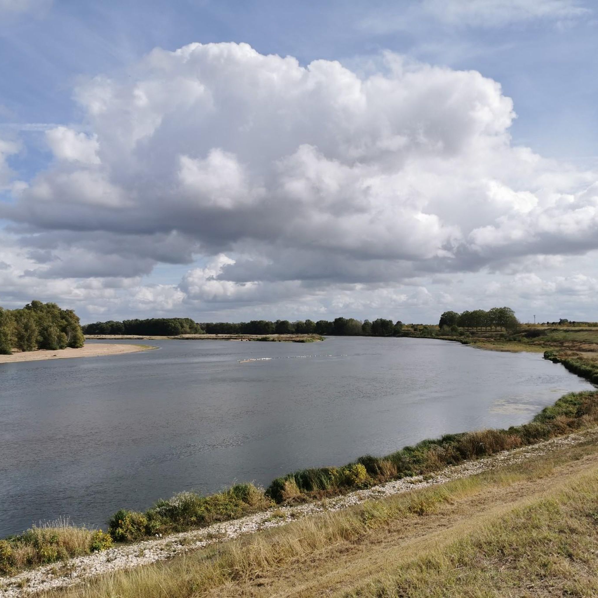
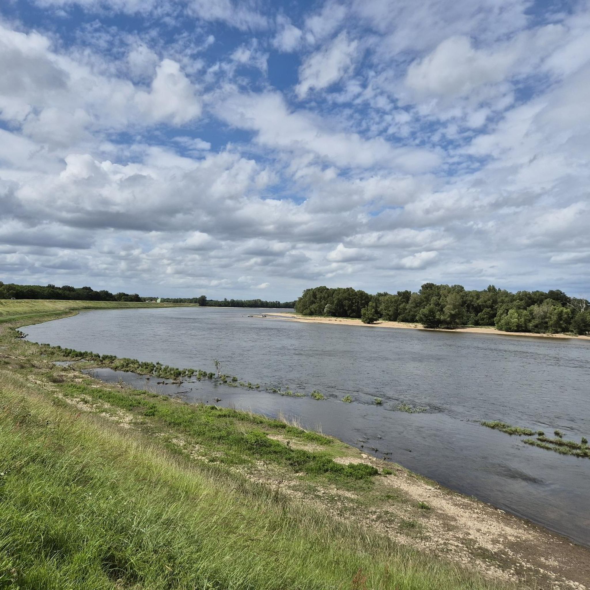
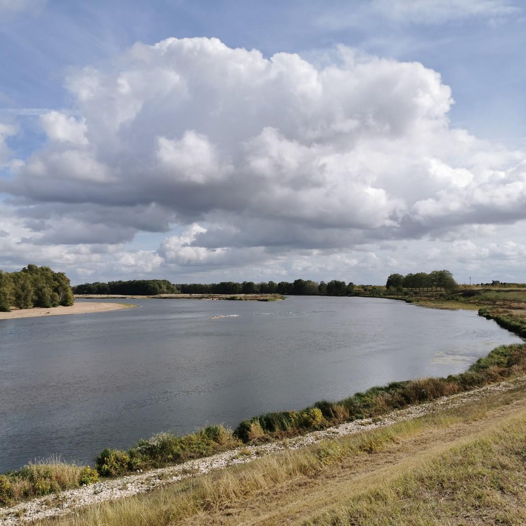
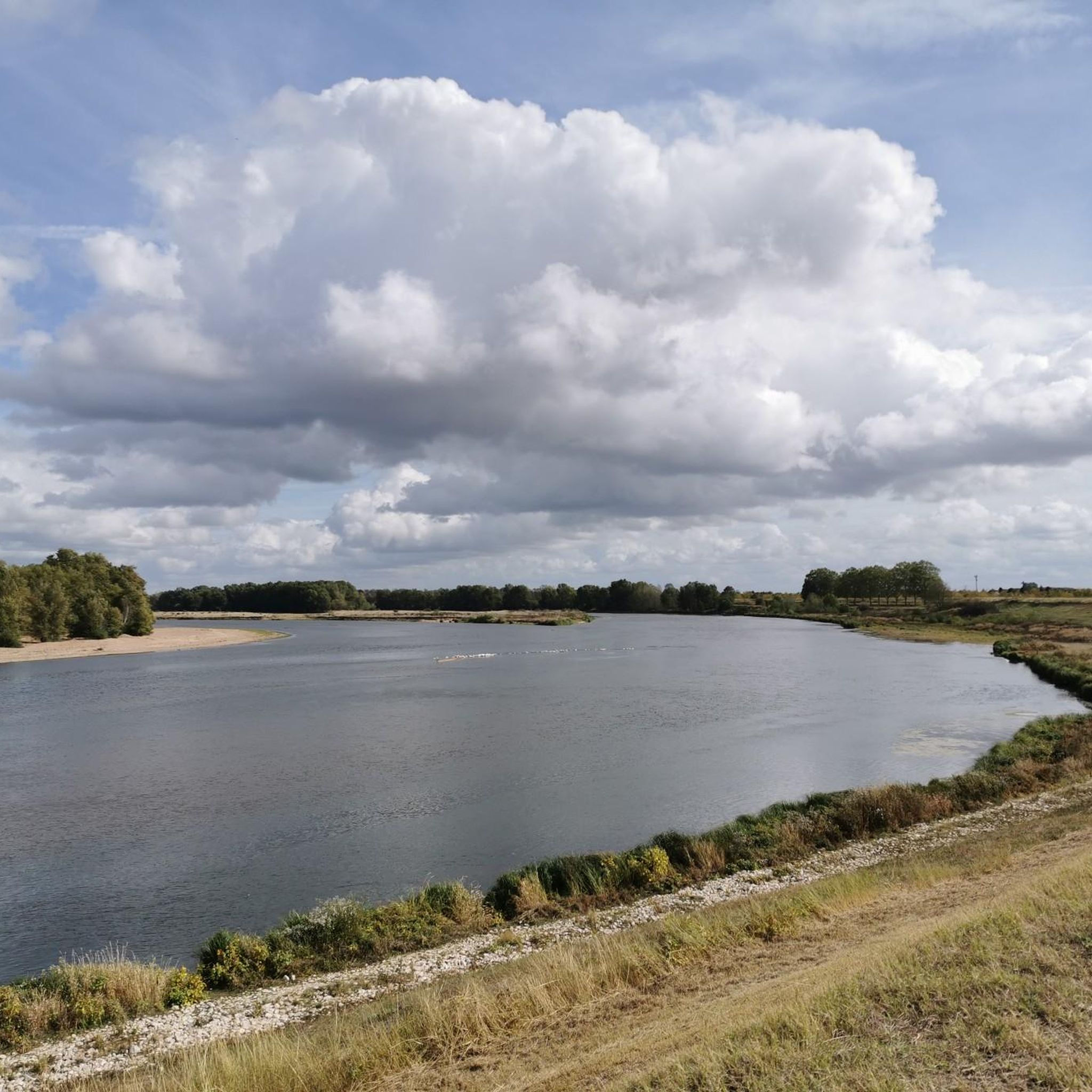
While the Dhuy stream and Le Morchêne are central to the local hydrology, the nearby Loire River also offers scenic pathways. You can find routes that provide glimpses of this majestic river, perfect for leisurely strolls and enjoying the riverside atmosphere.
What do other hikers enjoy the most about hiking in Saint-Cyr-En-Val?
The area is highly rated by the komoot community, with an average score of 4.6 stars from over 570 reviews. Hikers often praise the diverse landscapes, from alluvial plains to preserved wooded spaces, and the well-maintained network of trails that connect to existing routes like the 'Chemin de Bourges' and 'Chemin de Morchêne'.
Are there any longer or more challenging hikes available?
Yes, for those seeking a longer adventure, there are 17 difficult routes available. For example, the Hiking loop from Espace Naturel Sensible des Dolines de Limère is a moderate 17.4 km (10.8 miles) trail that takes you through rural landscapes and wooded areas, typically completed in about 4 hours and 23 minutes.
Is Saint-Cyr-En-Val accessible by public transport for hikers?
Saint-Cyr-En-Val is located near Orléans, which has good public transport connections. While specific trailheads might require a short local bus ride or taxi, the general area is accessible. It's advisable to check local bus schedules for connections to specific starting points for your chosen hike.
Are there specific trails that are dog-friendly?
Most natural trails and paths in Saint-Cyr-En-Val are generally dog-friendly, especially those through wooded areas and open plains. However, it's always recommended to keep your dog on a leash, especially near wildlife or in agricultural areas, and to check for any specific local regulations or signage in parks or protected areas.
What is the best time of year to go hiking in Saint-Cyr-En-Val?
Saint-Cyr-En-Val offers pleasant hiking conditions throughout much of the year. Spring brings blooming irises and fresh greenery, while autumn showcases beautiful fall foliage in the wooded areas. Summer is also enjoyable, especially on shaded trails. Winters are generally mild, allowing for crisp, quiet walks, though some paths might be muddy after rain.
Most popular routes around Saint-Cyr-En-Val
Most popular attractions around Saint-Cyr-En-Val

Get inspired with the komoot mobile app


Explore more
Browse the best Hikes in other regions.
