The best road cycling routes around Ris-Orangis
4.3
(485)
9,968
riders
41
rides
Road cycling routes around Ris-Orangis traverse diverse landscapes, characterized by numerous green spaces, the Lac des Docks de Ris, and proximity to the Seine River. The wider Essonne region, where Ris-Orangis is located, provides varied terrain suitable for road cyclists. Routes often follow riverbanks, offering relatively flat sections, while other areas present moderate elevation changes. The region's natural features include state forests and historic paths, contributing to the cycling environment.
Best road cycling routes around Ris-Orangis
- The most popular road…
Last updated: July 2, 2026
4.5
(23)
192
riders
52.1km
02:17
300m
300m
Moderate road ride. Good fitness required. Some segments of this route may be unpaved and difficult to ride.
4.3
(4)
93
riders
39.5km
01:35
150m
150m
Moderate road ride. Great for any fitness level. Some segments of this route may be unpaved and difficult to ride.

Sign up for free
5.0
(2)
68
riders
70.4km
02:58
360m
360m
Moderate road ride. Good fitness required. Mostly well-paved surfaces and easy to ride.
4.3
(3)
56
riders
Moderate road ride. Great for any fitness level. Some segments of this route may be unpaved and difficult to ride.
32
riders
83.1km
03:26
400m
400m
Moderate road ride. Good fitness required. Mostly well-paved surfaces and easy to ride.
Get access to more routes and recommendations from other explorers.
Sign up for free
Already have an account?
Our route recommendations are based on thousands of hikes, rides, and runs completed by other people on komoot.
Start today with a free account
Your next adventure awaits.
Login or Signup
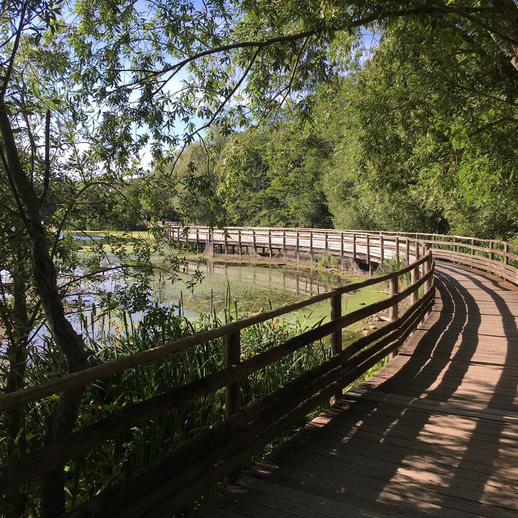

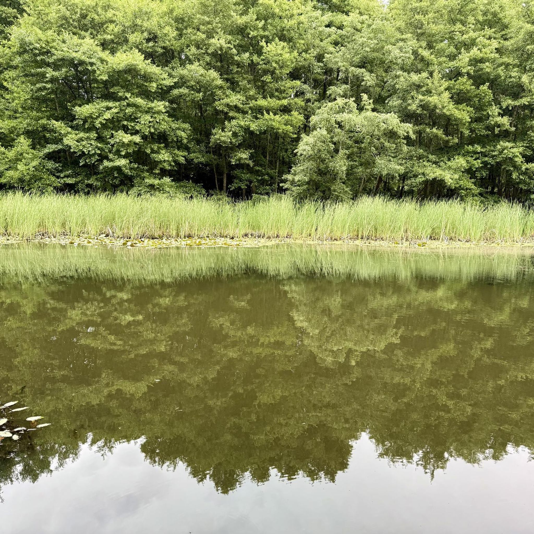
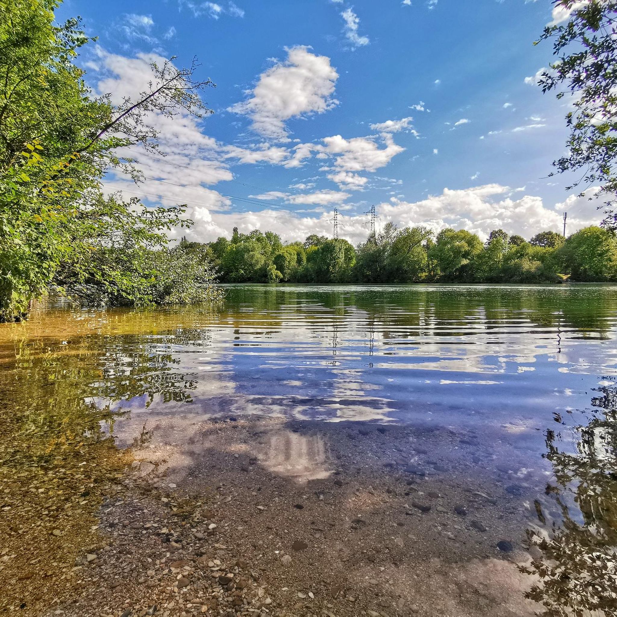
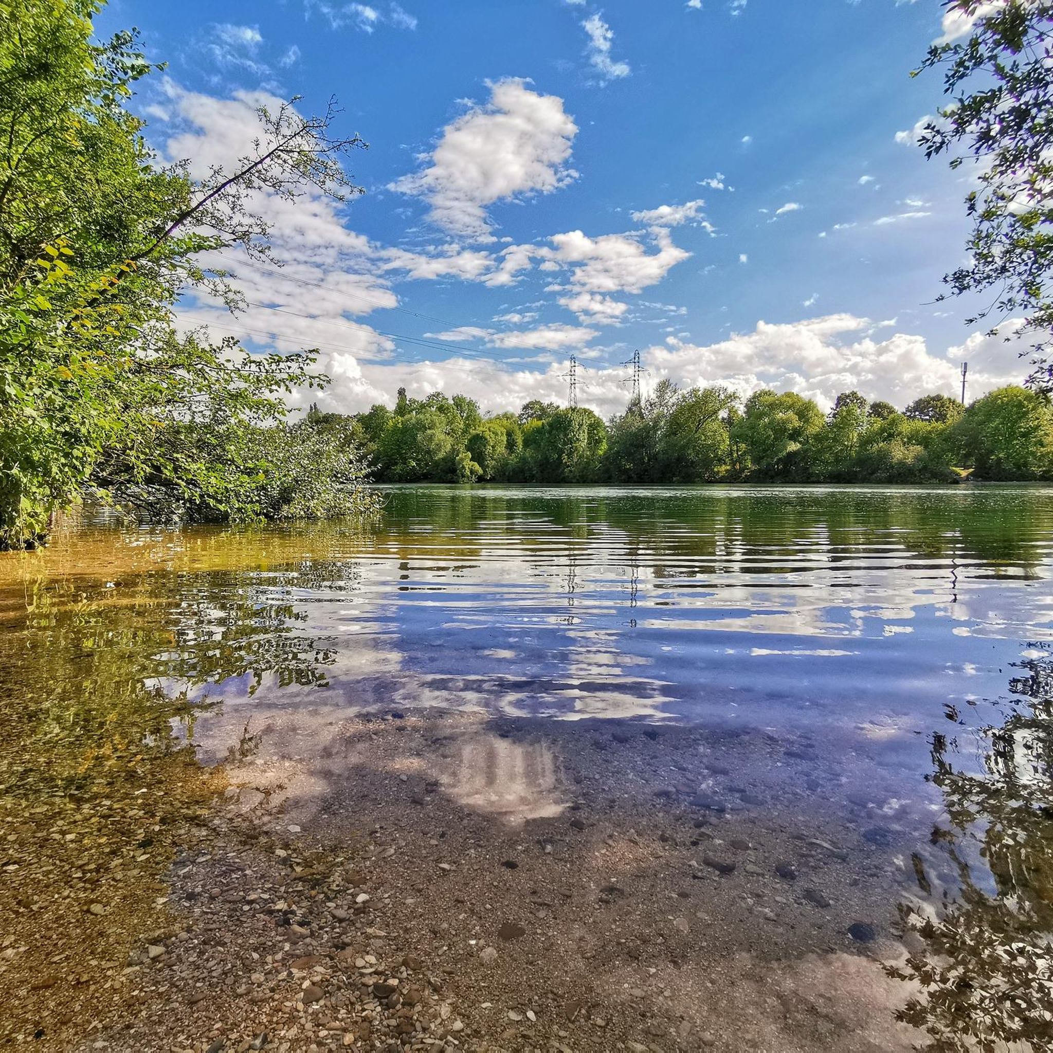
Tips from the Community


Complicated start and finish of the race (path difficult to navigate for road bikes, and traffic jam on VSG) Middle of the race rather pleasant with long straight and flat sections.
0
0

The tree is unfortunately no more… 😕
0
0
Unfortunately he fell. He had had his day!
0
0

Lovely place for a bike ride.
0
0
The must-see is not located here but in the Sénart forest 2km away
0
1

With a diameter of 1.70 m, this oak is 500 years old.
0
0

Road with bumps so you don't drive fast. Very difficult with the bike.
0
0
Frequently Asked Questions
How many road cycling routes are available in Ris-Orangis?
Ris-Orangis offers a wide selection of road cycling routes, with over 50 options available. These routes cater to various skill levels, including easy, moderate, and difficult.
What is the typical terrain like for road cycling in Ris-Orangis?
The terrain around Ris-Orangis is diverse, featuring numerous green spaces, the Lac des Docks de Ris, and proximity to the Seine River. You'll find relatively flat sections along riverbanks, as well as areas with moderate elevation changes, particularly within the wider Essonne region and state forests.
Are there routes suitable for beginners or families?
Yes, Ris-Orangis has routes suitable for all skill levels, including easy options perfect for beginners or families. For example, the Sénart State Forest loop from Ris-Orangis is an easy 13.8-mile (22.3 km) trail that provides a pleasant forested cycling experience.
Are there any circular road cycling routes in the area?
Many of the road cycling routes in Ris-Orangis are designed as loops, offering convenient starting and ending points. Popular circular routes include the Bend of the Seine – Coudray Montceaux dam loop from Grand Bourg and the Sénart State Forest loop from Grand Bourg.
What natural features or scenic spots can I expect to see on a road cycling route?
Road cycling routes in Ris-Orangis often feature scenic natural elements. You can expect to ride along the banks of the Seine River, through lush green spaces, and within state forests like the Sénart State Forest. Highlights such as the Sequoia Avenue at Villeroy Park offer unique natural beauty.
Are there any historical landmarks or points of interest along the routes?
Yes, the region around Ris-Orangis is rich in historical and scenic paths. Cyclists can discover points of interest such as the Allée Royale, the Old Sénart Forest Path, and the historic Templars' Bridge, adding a cultural dimension to your ride.
When is the best time of year to go road cycling in Ris-Orangis?
The diverse landscapes of Ris-Orangis, with its green spaces and riverbanks, are enjoyable throughout much of the year. Spring and autumn generally offer pleasant temperatures and beautiful scenery, while summer provides longer daylight hours. Winter conditions may vary, so checking local weather is always recommended.
What do other cyclists say about road cycling in Ris-Orangis?
The road cycling routes in Ris-Orangis are highly regarded by the komoot community, with an average rating of 4.6 stars from over 40 reviews. More than 900 road cyclists have explored the varied terrain, often praising the scenic river views and the tranquility of the state forests.
Are there options for longer, more challenging road cycling routes?
Absolutely. While there are easy and moderate options, Ris-Orangis also offers more challenging routes for experienced cyclists. For instance, the Bend of the Seine – Coudray Montceaux dam loop from Ris-Orangis is a moderate 37.1-mile (59.7 km) route with notable elevation changes, providing a good workout.
Is parking available for road cyclists in Ris-Orangis?
Yes, parking is generally available at various access points to the cycling routes in and around Ris-Orangis. Many routes, especially those starting from towns like Ris-Orangis or Grand Bourg, offer convenient parking options for cyclists.
How can I access the road cycling routes using public transport?
Ris-Orangis is accessible by public transport, including regional train lines (RER D) that connect to Paris and other surrounding areas. You can plan your journey to arrive at Ris-Orangis station, from where many routes are easily reachable, allowing you to start your ride without a car.
Can I find cafes or places to stop for refreshments along the routes?
Many road cycling routes in Ris-Orangis pass through or near towns and villages where you can find cafes, bakeries, and restaurants. Routes that follow the Seine or venture into the Essonne region often have opportunities for refreshment stops, especially in larger settlements along the way.
Are there any routes that specifically follow the Seine River?
Yes, the proximity of Ris-Orangis to the Seine River means there are several scenic routes that follow its banks. These routes often provide relatively flat sections and beautiful views of the waterway, such as the Bend of the Seine – Coudray Montceaux dam loop from Grand Bourg.
Most popular routes around Ris-Orangis
Most popular attractions around Ris-Orangis

Get inspired with the komoot mobile app


Explore more
Browse the best Road cycling routes in other regions.
