The best walks and hikes around Marey-Sur-Tille
4.6
(27)
174
hikers
63
hikes
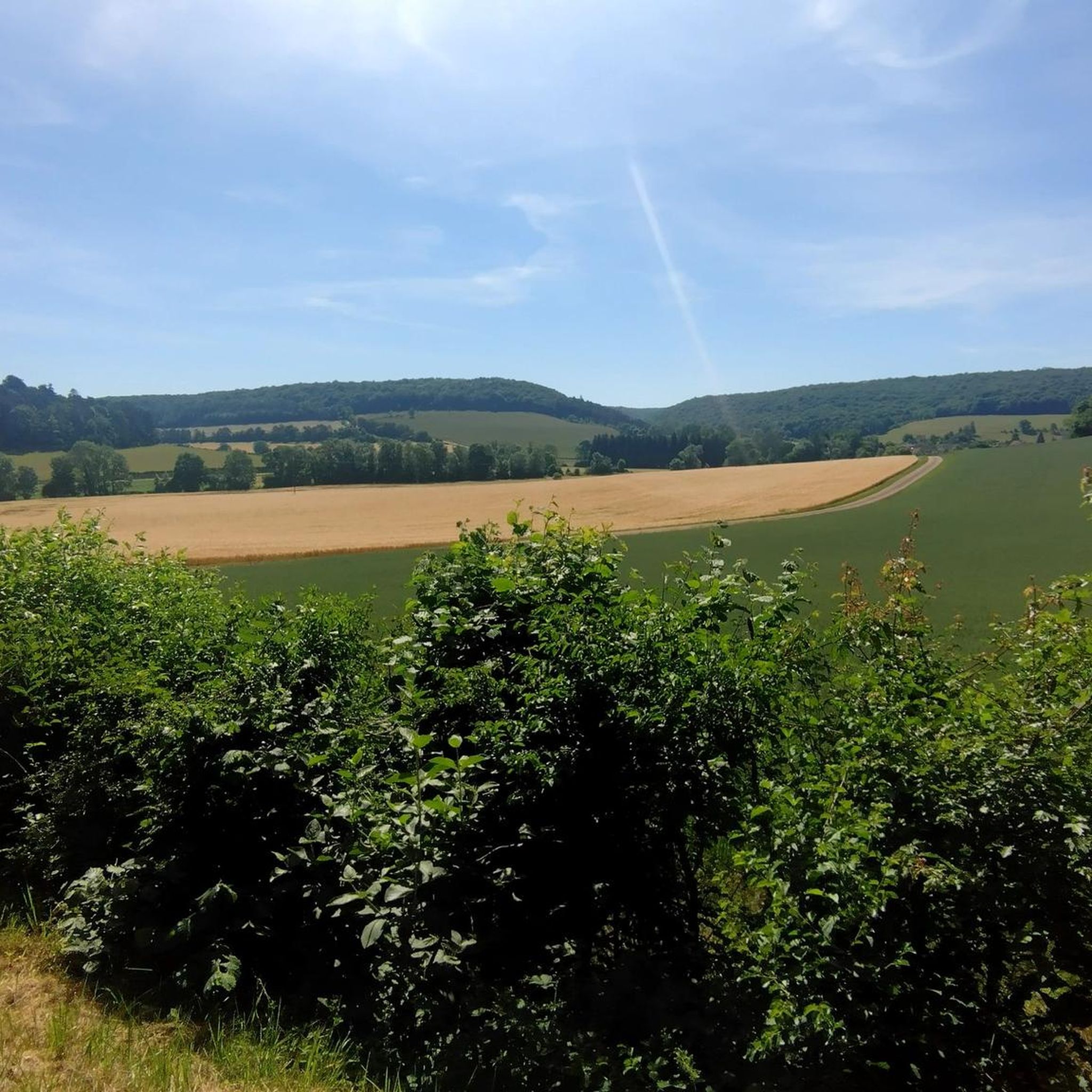
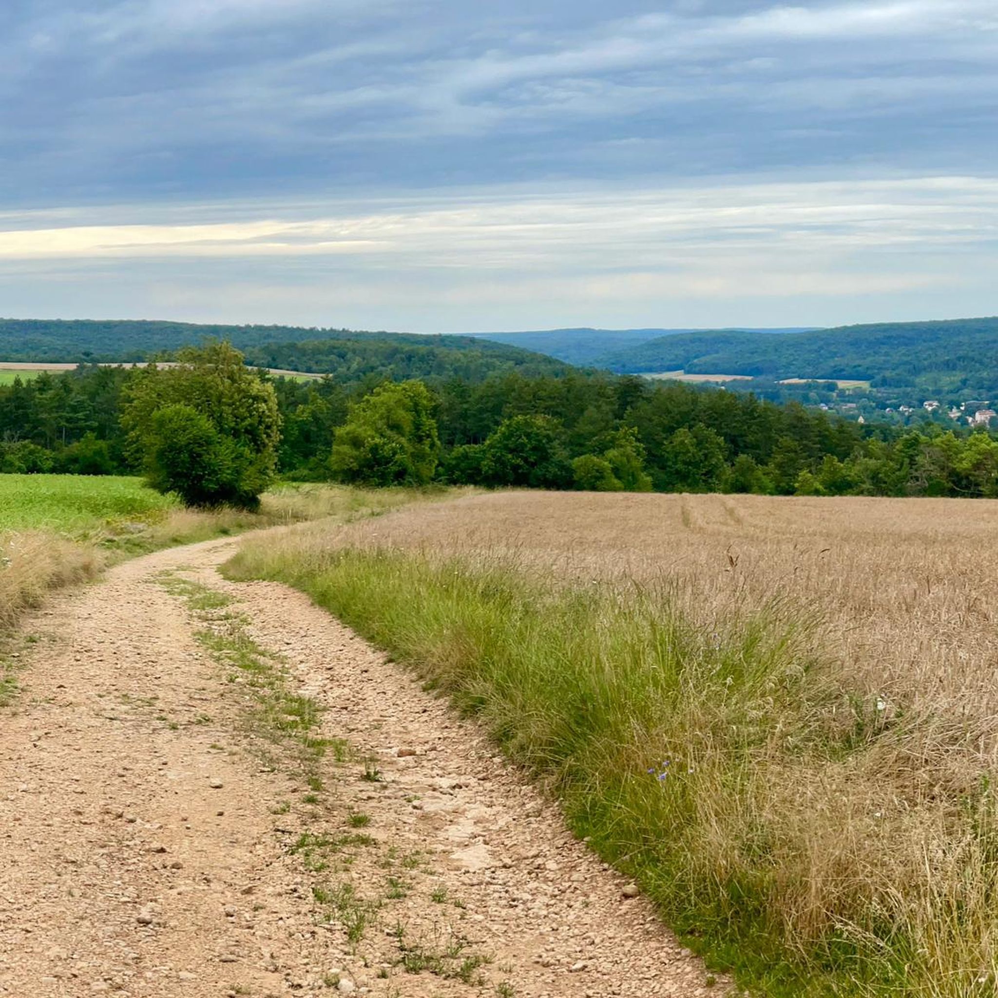
Hiking around Marey-Sur-Tille offers routes through a diverse landscape characterized by hilly terrain and extensive forests, which cover a significant portion of the commune. The Tille river meanders through the area, and numerous springs emerge from the local calcareous massif. This region provides a variety of natural settings for outdoor activities.
Best hiking trails in Marey-Sur-Tille
- The most popular hiking route is Fontaine-Française Town Hall – Chapelle Sainte-Anne loop from Selongey, a 4.0 miles (6.5 km) trail that takes…
Last updated: July 2, 2026
5.0
(1)
7
hikers
6.48km
01:47
110m
100m
Easy hike. Great for any fitness level. Easily-accessible paths. Suitable for all skill levels.
5
hikers
Moderate hike. Good fitness required. Easily-accessible paths. Suitable for all skill levels.

Sign up for free
4.5
(2)
6
hikers
10.2km
02:48
160m
170m
Moderate hike. Good fitness required. Easily-accessible paths. Suitable for all skill levels.
3
hikers
4.96km
01:22
80m
80m
Easy hike. Great for any fitness level. Easily-accessible paths. Suitable for all skill levels.
5.0
(2)
5
hikers
10.4km
02:58
230m
230m
Moderate hike. Good fitness required. Easily-accessible paths. Suitable for all skill levels.
Get access to more routes and recommendations from other explorers.
Sign up for free
Already have an account?
Our route recommendations are based on thousands of hikes, rides, and runs completed by other people on komoot.
Start today with a free account
Your next adventure awaits.
Login or Signup
Tips from the Community

here it rubs a lot and the path is not traced for 50m
0
0

As a memorial to the many dead, such memorials or war memorials (L'obélisque du guerre ...) are still very important today. "Now, Lord, let your servant go in peace, as you said." However, the people who are commemorated here did not divorce in peace, but became victims of war and tyranny. Many of the places you come across along the way are testament to the horrors of war and tyranny – and this is still important today. They all have two essential functions, anew for each generation: -1- Commemorate and remember the victims -2- Remind to keep the peace
2
0

The fountain of Avot you find central in the cross of the streets of Avot in the direction of Poiseul-les-Saulx.
0
0
The Avot war obelisk is on the left towards the town hall in Poiseul-les-Saulx.
0
0
The sight of the way of Saint Jacques de Compostelle in Tarsul is an exquisite sight. This region of the path is very interesting and unique.
3
0
The path of Saint Jacques de Compostela in the direction of Tarsul.
1
0
The Church of Saint Frou d'Avot you will find on the road to Saint Jacques de Compostela in the direction of Poiseul-les-Saulx.
0
0
Frequently Asked Questions
What kind of terrain can I expect on hikes around Marey-sur-Tille?
The landscape around Marey-sur-Tille is characterized by its very hilly terrain and extensive forests, which cover a significant portion of the commune. You'll find paths winding through dense woodlands and open fields, often with moderate elevation changes. The Tille river also meanders through the area, offering pleasant waterside sections.
How many hiking trails are available in the Marey-sur-Tille area?
There are over 60 hiking routes available around Marey-sur-Tille, catering to various fitness levels. These include a good mix of easy, moderate, and some more challenging options.
Are there any easy hiking routes suitable for beginners or families?
Yes, Marey-sur-Tille offers several easy routes perfect for beginners or families. For example, the Fontaine-Française Town Hall – Chapelle Sainte-Anne loop from Selongey is an easy 6.5 km trail. Another accessible option is the Avot war obelisk loop from Avot, which is just under 5 km.
What historical or natural attractions can I see while hiking in Marey-sur-Tille?
Hikers can combine their outdoor activity with cultural discoveries. Nearby attractions include the impressive Grancey-le-Château Castle, known for its colorful regional roof tiles. You might also encounter historical sites like the Saint Germain church or the local 13th and 15th-century Gothic-style Saint-Loup Church in Marey-sur-Tille itself. The area also features restored washhouses, including a rare 'compluvium' type. For natural features, the Tille river and its numerous springs are prominent.
Are there any circular hiking routes in Marey-sur-Tille?
Many of the hiking routes around Marey-sur-Tille are designed as loops, allowing you to start and end at the same point. Examples include the Forêt Domaniale de la Bonière loop from Saulx-le-Duc and the Chapelle Sainte-Anne – Fontaine-Française Town Hall loop from Selongey.
What do other hikers say about the trails in Marey-sur-Tille?
The routes in Marey-sur-Tille are highly rated by the komoot community, with an average score of 4.6 stars from over 20 reviews. Visitors often praise the diverse landscape, the tranquility of the forests, and the well-maintained tracks like the 'Chemin des Forges' for a pleasant outdoor experience.
Is Marey-sur-Tille a good destination for dog-friendly hikes?
While specific regulations for dogs on trails can vary, the extensive forests and natural paths around Marey-sur-Tille generally offer a welcoming environment for hiking with dogs. It's always recommended to keep your dog on a leash, especially in areas with wildlife or near agricultural lands, and to respect local signage.
What is the best time of year to go hiking in Marey-sur-Tille?
The hilly, forested landscape of Marey-sur-Tille makes it an appealing hiking destination throughout much of the year. Spring and autumn offer pleasant temperatures and beautiful foliage, while summer provides lush greenery and shaded forest paths. Even in winter, the trails can be enjoyable, though conditions may vary.
Are there any challenging hikes with significant elevation gain?
Yes, while many routes are easy to moderate, there are some more challenging options. For instance, the Saint-Rémi Church loop from Cussey-les-Forges is a moderate 10.4 km trail with over 220 meters of elevation gain, offering a more strenuous workout.
Is parking available near the trailheads in Marey-sur-Tille?
While specific parking information for every trailhead isn't always detailed, Marey-sur-Tille is a rural area, and parking is generally available in or near the villages where many routes begin. Look for designated parking areas in village centers or near popular starting points.
Can I reach hiking trails in Marey-sur-Tille using public transport?
Marey-sur-Tille is a smaller village in a rural region. Public transport options directly to specific trailheads might be limited. It's advisable to check local bus schedules if you plan to rely on public transport, but having a car will offer the most flexibility for accessing various hiking routes in the area.
Most popular routes around Marey-Sur-Tille
Most popular attractions around Marey-Sur-Tille

Get inspired with the komoot mobile app


Explore more
Browse the best Hikes in other regions.
