The best walks and hikes around Saint-Jory
4.4
(258)
2,001
hikers
123
hikes
Hiking around Saint-Jory offers routes primarily along the Garonne River and its surrounding flatlands. The area is characterized by riverbanks, open countryside, and agricultural landscapes, providing accessible paths for various activity levels. Trails often feature loops, allowing for varied exploration of the local environment. The terrain generally presents minimal elevation changes, making it suitable for relaxed walks.
Best hiking trails around Saint-Jory
- The most popular hiking route is The sand fishermen - loop starting from Seilh, a 7.1 miles…
Last updated: October 25, 2026
4.6
(43)
138
hikers
11.4km
02:55
50m
50m
Moderate hike. Good fitness required. Easily walkable paths.
4.6
(32)
173
hikers
Moderate hike. Good fitness required. Easily walkable paths.

4.5
(2)
17
hikers
6.84km
01:46
30m
30m
Easy hike. Easily walkable paths.
4.0
(4)
17
hikers
4.86km
01:14
10m
10m
Easy hike. Easily walkable paths.
5.0
(1)
12
hikers
7.93km
02:00
10m
10m
Easy hike. Easily walkable paths.
Get access to more routes and recommendations from other explorers.
Already have an account?
Our route recommendations are based on thousands of hikes, rides, and runs completed by other people on komoot.
Start today with a free account
Your next adventure awaits.


Tips from the Community

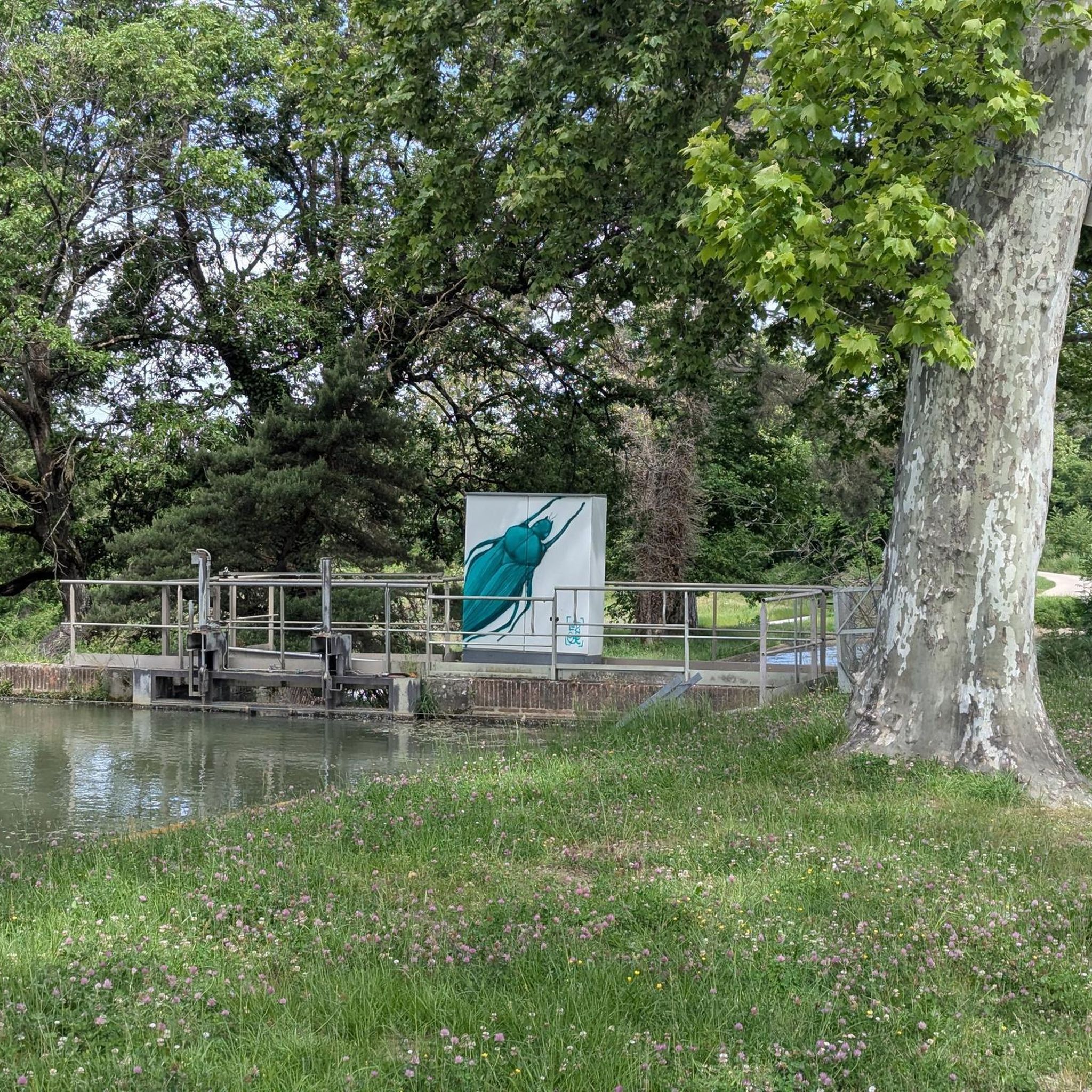
Simple lock located on the Canal Latéral à la Garonne. Built around 1840, the locks of the Canal de Garonne or Canal Latéral are distinguished by their perfectly parallel side walls (or bajoyers), unlike the locks of the Canal du Midi which are oval in shape.
0
0

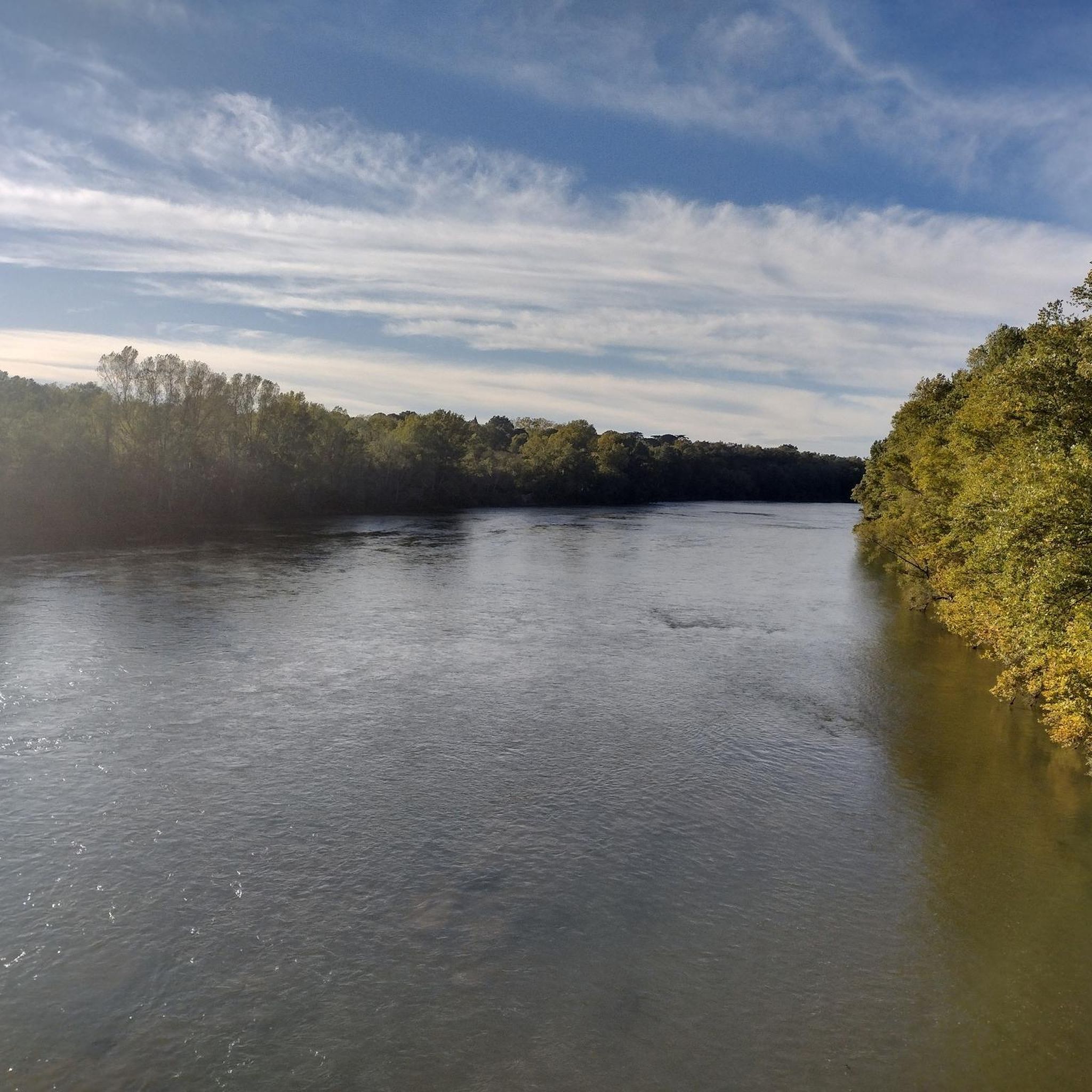
Very nice single track along the Garonne, very pleasant and pretty!
0
0

Right next door is Rochemontes Castle, a must-see. I couldn't tell you which side of the river it is; it all depends on where you're coming from. There's some serious stuff for those who enjoy it. 😉 Enjoy your walk
0
0

Only crossing of the Garonne nearby
0
0

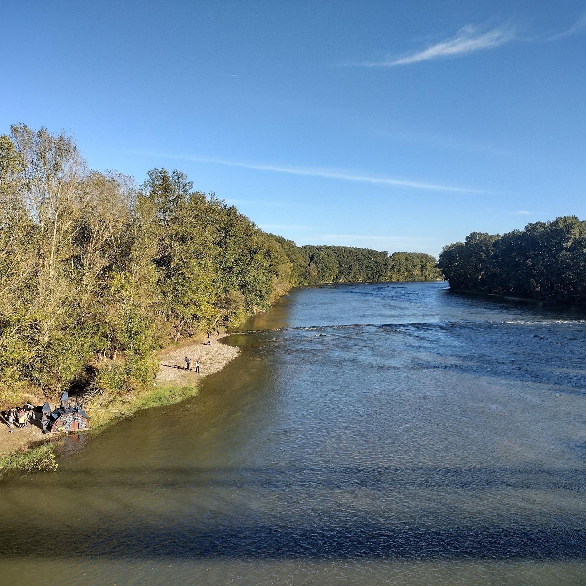
impressive view of the Garonne
0
1

Just a scrap metal bridge over the Garonne, but allows you to change banks and explore the single tracks on both sides between Sesquières, Gagnac, Blagnac and Toulouse.
1
0

Very practical footbridge for a round trip along the Garonne. Stairs on both sides to access it
1
0
Frequently Asked Questions
How many hiking trails are available around Saint-Jory?
There are over 110 hiking trails around Saint-Jory, offering a wide range of options for different skill levels. You'll find approximately 60 easy routes, 45 moderate routes, and a few more challenging paths.
Are there any easy or beginner-friendly hiking routes in Saint-Jory?
Yes, Saint-Jory is well-suited for beginners and those seeking easy walks, with over 60 routes classified as easy. Many of these trails feature minimal elevation changes and follow the flatlands and riverbanks. A good option is the Hiking loop from Seilh, which is 4.2 miles (6.8 km) long and generally takes about 1 hour 45 minutes.
What kind of terrain can I expect on hikes around Saint-Jory?
The terrain around Saint-Jory is primarily characterized by flatlands, riverbanks along the Garonne, open countryside, and agricultural landscapes. Expect gentle paths with minimal elevation changes, making it ideal for relaxed walks and accessible exploration of the local environment.
Are there any circular walks available in Saint-Jory?
Yes, many of the hiking routes around Saint-Jory are designed as loops, allowing for varied exploration without retracing your steps. For example, the popular The sand fishermen - loop starting from Seilh is a circular route offering views of local waterways.
What are some interesting landmarks or attractions to see along the hiking trails?
While hiking around Saint-Jory, you can discover several points of interest. Consider routes that pass by the Gagnac-sur-Garonne Footbridge for scenic river views, or explore the area near the historic Naudin Mill. The Hers Aqueduct is another notable feature in the region.
Is Saint-Jory a good place for family-friendly hikes?
Absolutely. The predominantly flat and gentle terrain, combined with numerous easy routes, makes Saint-Jory an excellent choice for family-friendly hikes. Trails like the View of the Garonne River loop from Seilh, at 3.4 miles (5.5 km), are suitable for families with children.
Can I bring my dog on the hiking trails in Saint-Jory?
Many trails in Saint-Jory are suitable for dogs, especially those through open countryside and along riverbanks. It's always recommended to keep your dog on a leash, especially near agricultural areas or where wildlife might be present, and to check local regulations for specific routes. The generally flat paths are comfortable for pets.
What is the best time of year to go hiking in Saint-Jory?
Spring and autumn are generally the most pleasant seasons for hiking in Saint-Jory, offering mild temperatures and beautiful natural scenery. Summer can be warm, so early morning or late afternoon hikes are advisable. Winter hikes are also possible, as the terrain is not prone to heavy snow, but paths can be damp.
Are there options for public transport to reach hiking trailheads near Saint-Jory?
Saint-Jory is part of the Toulouse metropolitan area, and local bus services (Tisséo) connect Saint-Jory to surrounding towns and some rural areas. While direct access to every trailhead by public transport might be limited, you can often reach the vicinity of starting points and complete the last stretch on foot or with a short taxi ride. Checking the Tisséo website for specific bus routes is recommended.
Where can I find parking for hiking trails in Saint-Jory?
Parking is generally available at or near the starting points of many popular trails, especially in and around the villages like Seilh and Gagnac-sur-Garonne. Look for designated parking areas in town centers or near recreational facilities. As many routes follow riverbanks or pass through agricultural land, roadside parking might also be an option in some less populated areas, but always ensure you are not obstructing access or private property.
What do other hikers enjoy most about hiking in Saint-Jory?
The hiking experience in Saint-Jory is highly rated by the komoot community, with an average score of 4.3 stars from over 200 reviews. Hikers often praise the peaceful riverbank paths, the accessibility of the flat terrain, and the opportunity to enjoy open countryside views. The well-maintained loops are also frequently highlighted as a positive aspect.
Are there any routes that offer views of the Garonne River?
Yes, many routes in Saint-Jory prominently feature the Garonne River. Trails like the Garonne Riverbanks – Garonne Footbridge loop from Gagnac-sur-Garonne offer extensive views of the river and its banks, often including scenic footbridges.
Most popular routes around Saint-Jory
Most popular attractions around Saint-Jory

Get inspired with the komoot mobile app


Explore more
Browse the best Hikes in other regions.
