The best walks and hikes around Bruyères-Et-Montbérault
4.4
(547)
2,501
hikers
159
hikes
Hiking around Bruyères-Et-Montbérault offers varied outdoor experiences in the Hauts-de-France region. The area is characterized by its proximity to Lake Ailette, an artificial lake providing a serene setting for activities. The surrounding landscape features diverse forests and varied terrain, including natural trails, gravel paths, and paved sections. This region also holds historical significance, particularly around sites like Vauclair Abbey.
Best hiking trails around Bruyères-Et-Montbérault
- The most popular hiking route is View of Lake Ailette – Lake Ailette loop from Chamouille, a 6.1 miles (9.9 km) trail that takes about 2 hours 39 minutes to complete. This moderate route offers scenic views of Lake Ailette.
- Another top favourite among local hikers is View of the Lake – Lake Ailette loop from Neuville-sur-Ailette, an easy 3.7 miles (6.0 km) path. This trail provides views across the lake from its eastern shore.
- Local hikers also love the Ailette Lake – Ruins of Vauclair Abbey loop from Chamouille, a 9.7 miles (15.6 km) trail leading through woodlands and past historical ruins, often completed in about 4 hours 5 minutes.
- Hiking around Bruyères-Et-Montbérault is defined by tranquil lake environments, accessible forest trails, and historical landmarks like Vauclair Abbey. The network offers options for different ability levels, from easy strolls to moderate excursions.
- The routes in Bruyères-Et-Montbérault are highly rated by the komoot community with an average score of 4.5 stars from more than 480 reviews. More than 2200 hikers have used komoot to explore Bruyères-Et-Montbérault's varied terrain.
Last updated: July 2, 2026
4.4
(58)
217
hikers
9.47km
02:32
100m
100m
Moderate hike. Good fitness required. Easily-accessible paths. Suitable for all skill levels.
4.6
(20)
55
hikers
6.11km
01:42
110m
110m
Easy hike. Great for any fitness level. Easily-accessible paths. Suitable for all skill levels.

Sign up for free
5.0
(2)
14
hikers
11.2km
03:03
160m
170m
Moderate hike. Good fitness required. Easily-accessible paths. Suitable for all skill levels.
4.5
(8)
16
hikers
14.8km
03:59
190m
190m
Moderate hike. Good fitness required. Easily-accessible paths. Suitable for all skill levels.
12
hikers
7.26km
01:56
70m
70m
Easy hike. Great for any fitness level. Easily-accessible paths. Suitable for all skill levels.
Get access to more routes and recommendations from other explorers.
Sign up for free
Already have an account?
Our route recommendations are based on thousands of hikes, rides, and runs completed by other people on komoot.
Start today with a free account
Your next adventure awaits.
Login or Signup
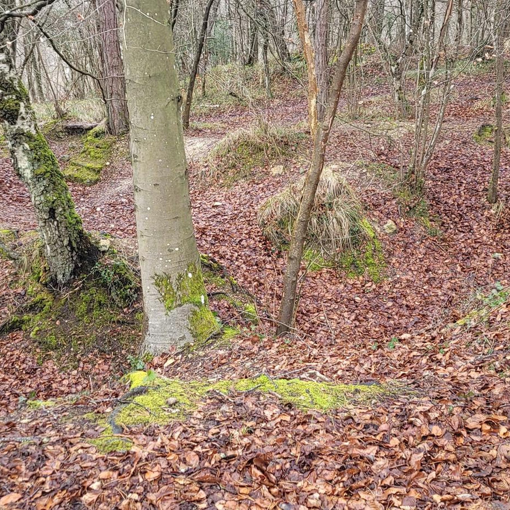
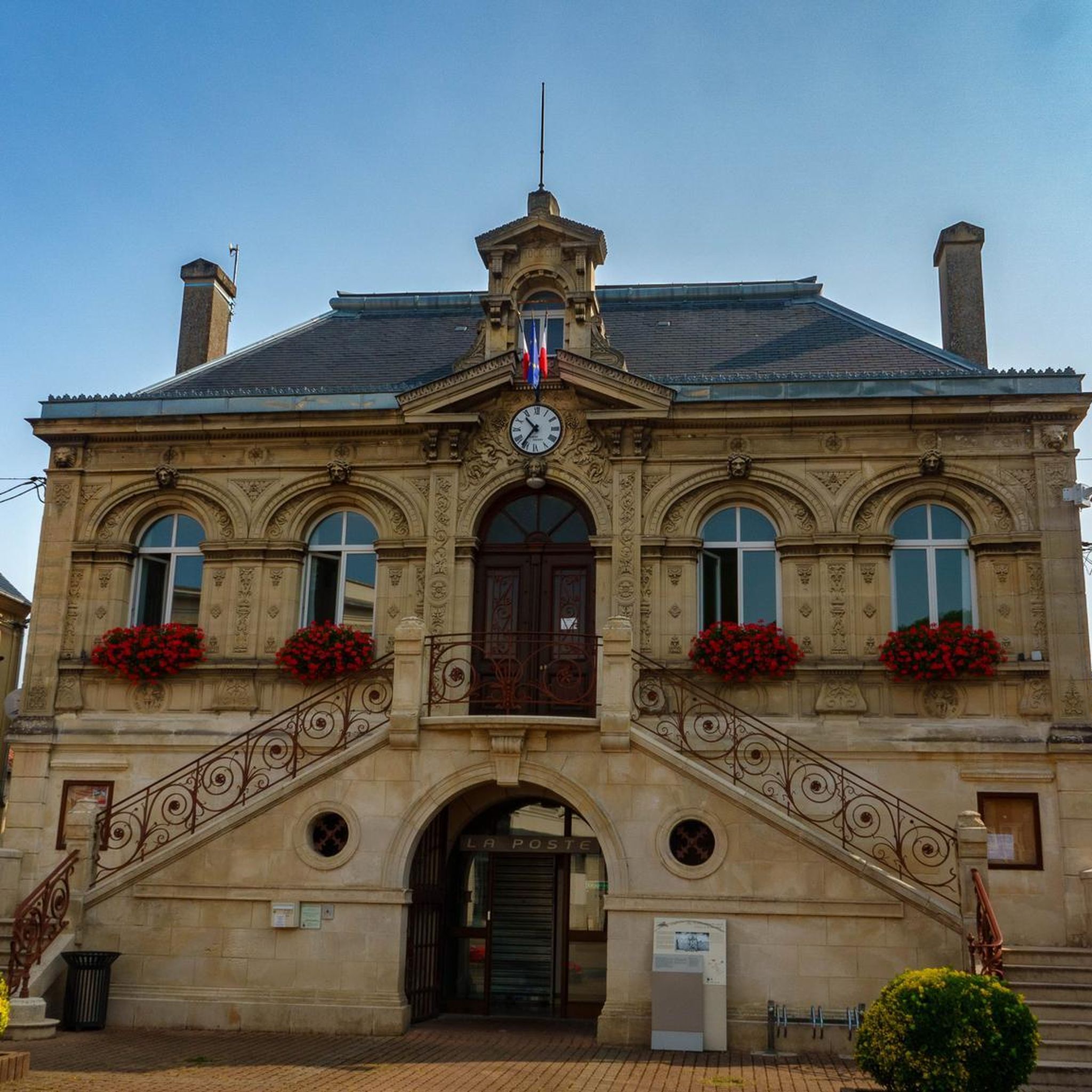
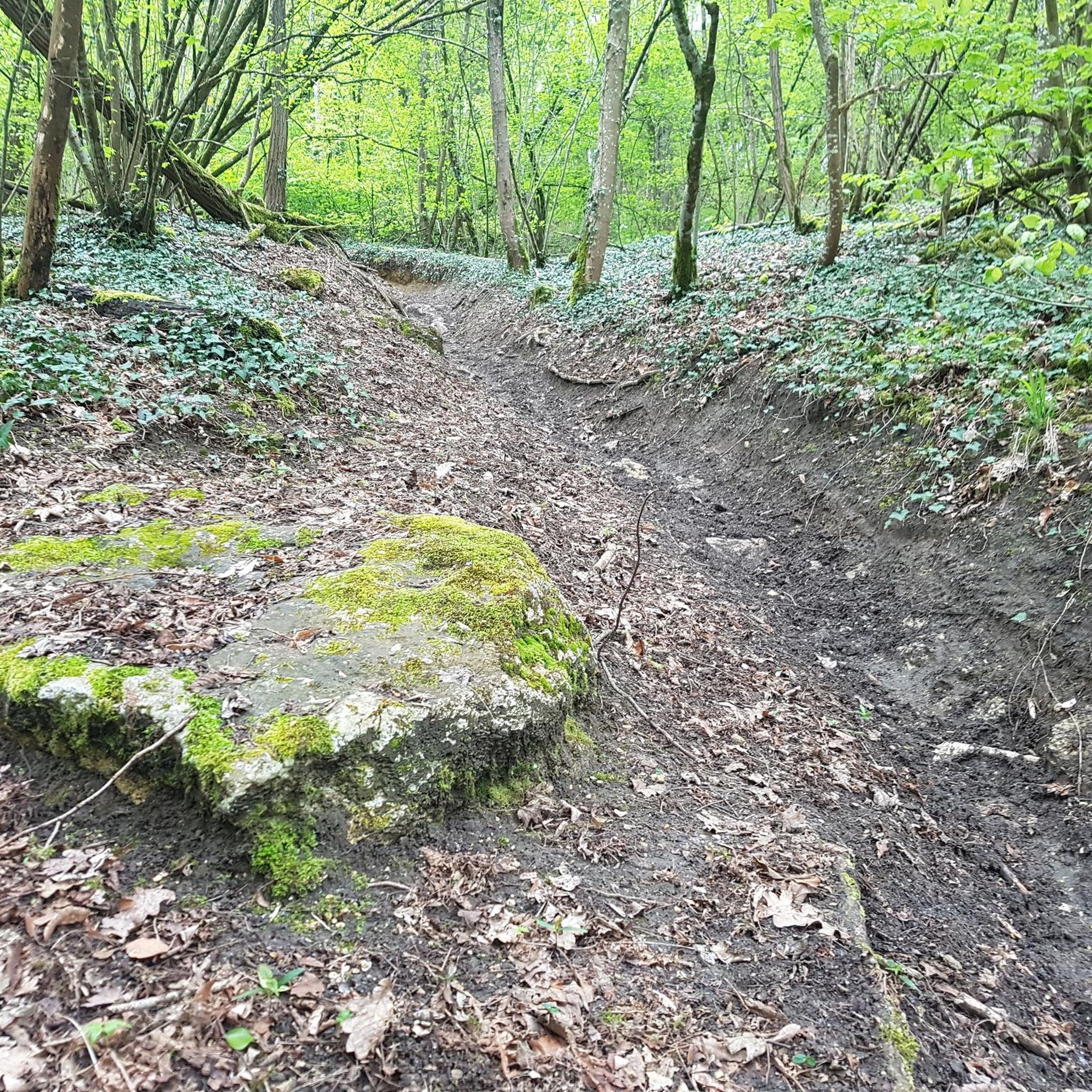
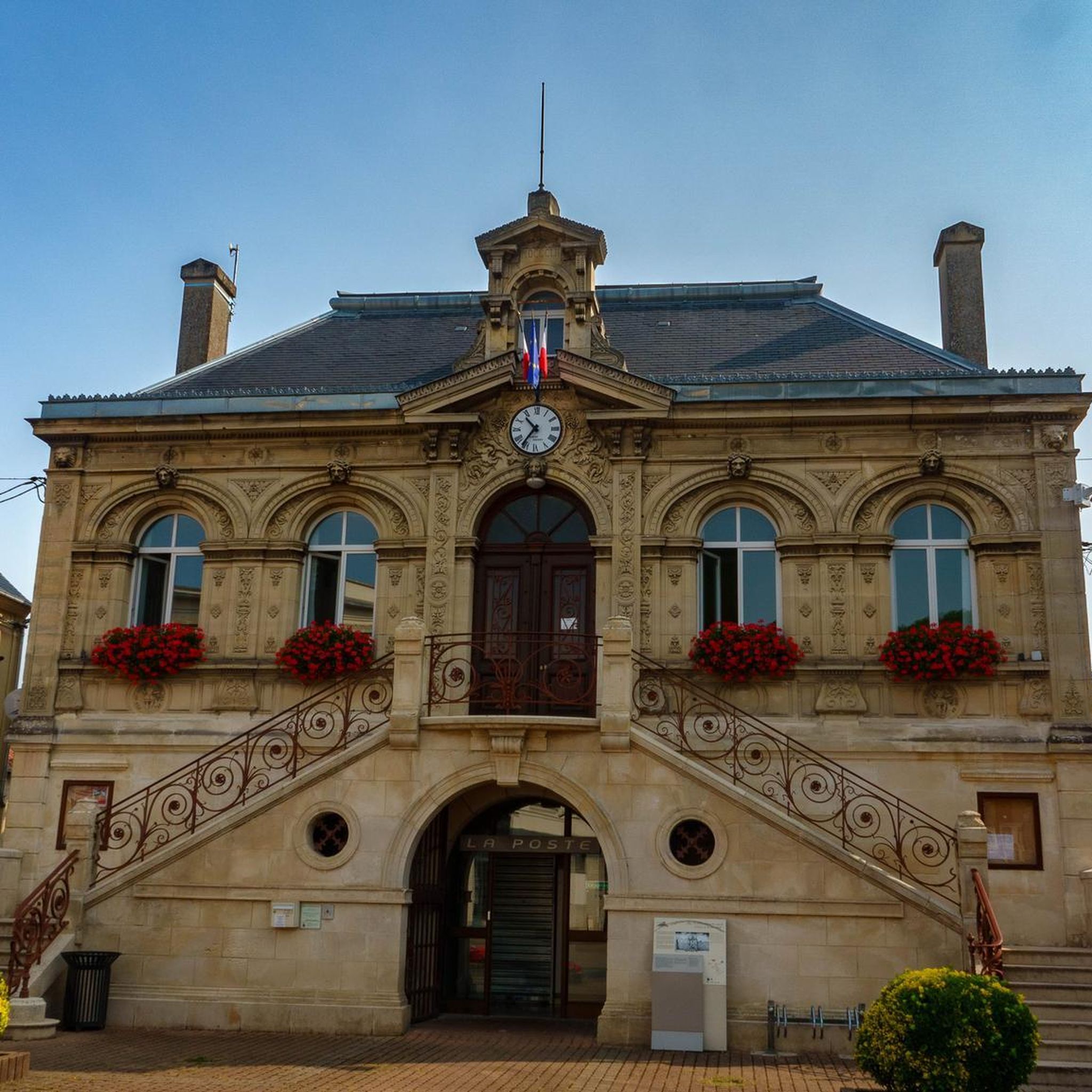
Tips from the Community

Entrance to Centre Parcs at Lac d'Ailette
0
0

No particular difficulties, can be done without problems
0
0

A remarkable remnant of what was once a large and important abbey. Caesar, Napoleon and German troops are said to have passed through this area during the First World War.
3
0

From here you have a nice view of the area
0
0

This abbey, which was founded in 1134 by St. Bernard, was severely damaged in a bombardment in 1917. The best preserved buildings are the pantry, the refectory of the lay brothers, the chapter house and the monks' hall. The foundations of the abbey church and the inn are still visible. Next to the garden with medicinal plants there is an exhibition space. Surrounding it is the monastic forest of Vauvelair, which covers 1000 hectares.
11
0

The Étang des Moines lake is one of the four ponds that were dug by the monks of Liessies Abbey at the end of the 17th century. Covering an area of approximately 20 hectares, it is home to various species of fish, such as carp, pike, perch, roach and tench. The lake is also a haven for wildlife, particularly birds, such as herons, ducks, coots and kingfishers. You can appreciate the tranquility and beauty of the lake from different viewpoints, such as the wooden bridge or the picnic area.
2
0
The Ailles Village Monument was erected by the Touring Club de France in 1932, marking the location of the ancient village of Ailles, completely destroyed during the First World War and never rebuilt. You can still see some traces of the foundations of the houses in the fields.
3
0
Frequently Asked Questions
How many hiking trails are available around Bruyères-Et-Montbérault?
There are over 140 hiking trails in the Bruyères-Et-Montbérault area. These routes offer a variety of experiences, from easy strolls to more challenging excursions, primarily centered around Lake Ailette and its surrounding forests.
What kind of landscapes can I expect to see while hiking in this region?
Hikers in Bruyères-Et-Montbérault can expect diverse landscapes, primarily featuring the serene Lake Ailette, lush woodlands, and varied terrain. The area is known for its natural trails, gravel paths, and paved sections, offering scenic views of the lake and opportunities to explore local biodiversity, especially birdlife.
What do other hikers say about the trails in Bruyères-Et-Montbérault?
The hiking routes in Bruyères-Et-Montbérault are highly rated by the komoot community, with an average score of 4.5 stars from over 480 reviews. Hikers often praise the tranquil lake environments, accessible forest trails, and the combination of natural beauty with historical landmarks.
Are there easy hiking trails suitable for beginners or casual walkers?
Yes, there are many easy options. The region offers over 60 easy hiking trails. A popular choice is the View of the Lake – Lake Ailette loop from Neuville-sur-Ailette, an easy 3.7-mile (6.0 km) path that provides beautiful views across the lake.
Can I find challenging hikes in Bruyères-Et-Montbérault?
While most trails are easy to moderate, there are a few more challenging options for experienced hikers. The region's terrain, with its varied elevations around the lake and through forests, can provide a good workout on longer routes.
Are there circular hiking routes available?
Yes, circular routes are a prominent feature of hiking in Bruyères-Et-Montbérault. Many trails, such as the View of Lake Ailette – Lake Ailette loop from Chamouille, are designed as loops, allowing you to start and end at the same point without retracing your steps.
Are the hiking trails around Bruyères-Et-Montbérault family-friendly?
Many trails around Bruyères-Et-Montbérault are suitable for families, especially the easier, shorter loops around Lake Ailette. The varied terrain and scenic views provide an engaging experience for all ages. Always check the specific route details for distance and elevation to ensure it matches your family's capabilities.
Can I bring my dog on the hiking trails?
Generally, dogs are welcome on many hiking trails in the Bruyères-Et-Montbérault area, especially in natural forest settings. However, it's always recommended to keep them on a leash and be mindful of local regulations, particularly around protected areas or near wildlife. Please check specific trail rules if available.
What historical sites can I explore while hiking in the area?
The region is rich in history. A significant historical site accessible via hiking trails is the Vauclair Abbey Ruins. Routes like the Ailette Lake – Ruins of Vauclair Abbey loop from Chamouille combine natural beauty with historical discovery, allowing you to explore the remains of the abbey and its tranquil setting.
Are there any scenic viewpoints along the hiking routes?
Yes, many routes offer scenic viewpoints, particularly those that trace the shores of Lake Ailette. Trails like the Viewpoint – Lake Ailette loop from Chamouille are specifically designed to highlight the expansive views of the lake and its surroundings.
When is the best time of year to go hiking in Bruyères-Et-Montbérault?
The best time to hike in Bruyères-Et-Montbérault is generally during spring and autumn when the weather is mild and the natural scenery is vibrant. Spring offers lush greenery and excellent birdwatching opportunities around Lake Ailette, while autumn brings beautiful foliage. Summer is also pleasant, though trails can be busier.
Are there any specific attractions or landmarks near the hiking trails?
Beyond the natural beauty, you can find several landmarks. The Vauclair Abbey Ruins are a key historical attraction. Further afield, you might explore the Notre-Dame Cathedral or the Laon Old Town — Murals and Fortifications, which are notable points of interest in the broader region.
Are there opportunities for birdwatching while hiking?
Yes, the area around Lake Ailette is a significant spot for biodiversity, particularly for birdwatching. The lake is home to over 200 bird species, with the best opportunities for observation typically in winter and spring. Many trails offer peaceful views of the lake, perfect for spotting local and migratory birds.
Most popular routes around Bruyères-Et-Montbérault
Most popular attractions around Bruyères-Et-Montbérault

Get inspired with the komoot mobile app


Explore more
Browse the best Hikes in other regions.
