The best cycling routes around Orville
4.2
(32)
162
riders
51
rides
Touring cycling around Orville offers routes through varied landscapes, characterized by rolling hills, agricultural plains, and interspersed woodlands. The region's terrain provides a mix of gradients suitable for different cycling abilities. Routes often follow quiet country roads, connecting small villages and offering views of the surrounding rural environment. The area is conducive to exploring by bike, with trails that navigate both open fields and forested sections.
Best touring cycling routes around Orville
- The most popular touring cycling route is Washhouse…
Last updated: May 24, 2026
5.0
(1)
14
riders
45km
03:54
580m
580m
Hard bike ride. Very good fitness required. Mostly paved surfaces. Suitable for all skill levels.
5.0
(1)
11
riders
80.6km
04:49
320m
320m
Moderate bike ride. Good fitness required. Mostly paved surfaces. Suitable for all skill levels.

Sign up for free
3.0
(1)
7
riders
38.1km
02:26
390m
390m
Moderate bike ride. Good fitness required. Mostly paved surfaces. Suitable for all skill levels.
3.0
(1)
3
riders
18.3km
01:04
110m
110m
Easy bike ride. Great for any fitness level. Mostly paved surfaces. Suitable for all skill levels.
3.0
(1)
5
riders
25.0km
01:32
210m
210m
Moderate bike ride. Good fitness required. Mostly paved surfaces. Suitable for all skill levels.
Get access to more routes and recommendations from other explorers.
Sign up for free
Already have an account?
Our route recommendations are based on thousands of hikes, rides, and runs completed by other people on komoot.
Start today with a free account
Your next adventure awaits.
Login or Signup

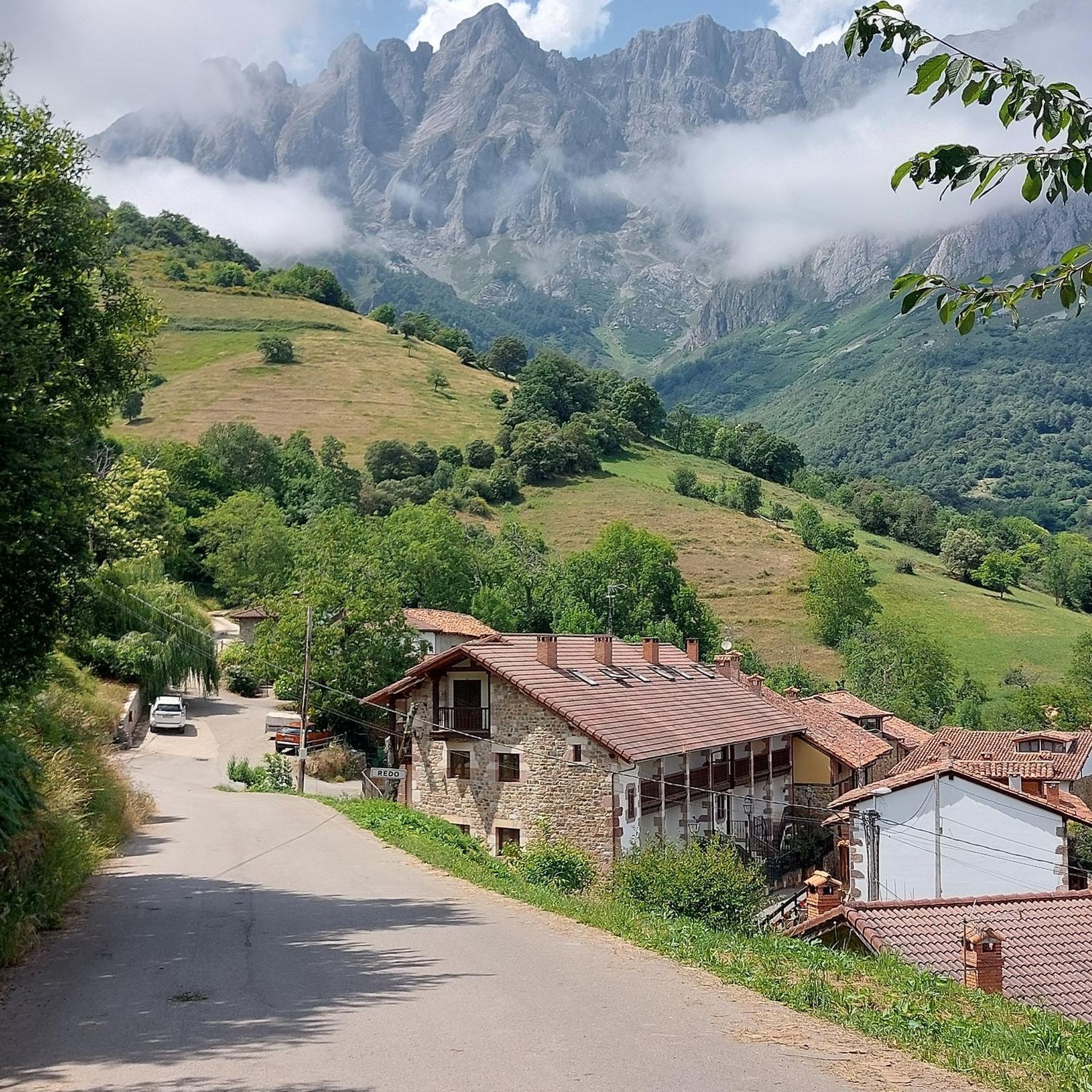
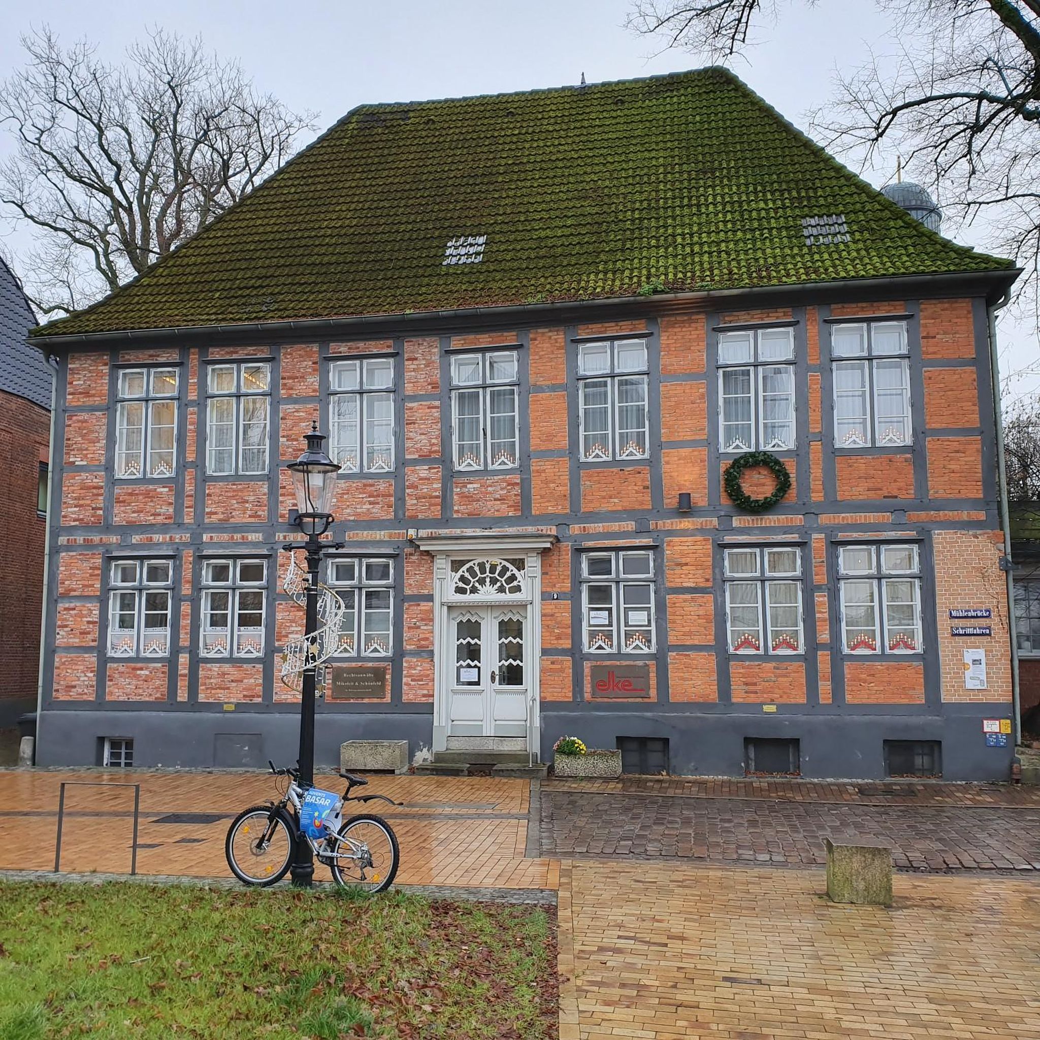

Tips from the Community

very beautiful, in good weather the name of the place is confirmed
0
0

Gentle descent from Saussy, the road is of good quality, watch out for the bends.
0
0

Faucet in the cemetery On the right wall, roughly in the middle of the cemetery
1
0

Take a detour every now and then to switch the scenery
2
0

Several tables await you by the canal
0
0
Frequently Asked Questions
How many touring cycling routes are available in Orville?
There are over 50 touring cycling routes available in Orville, offering a wide range of options for different skill levels and preferences.
Are there routes suitable for beginners or families in Orville?
Yes, Orville offers several easier routes perfect for beginners or family outings. For example, the Water point loop from Occey is an easy 18.3 km (11.4 miles) trail with minimal elevation gain, making it a great choice for a relaxed ride.
What are some challenging touring cycling routes in Orville?
For experienced cyclists seeking a challenge, the Washhouse – Le Creux Bleu loop from Is-sur-Tille is a difficult 45.1 km (28.0 miles) route featuring significant elevation gain (575 meters or 1,886 feet). This route provides a demanding ride through varied terrain.
Are there any circular touring cycling routes in Orville?
Many of the touring cycling routes in Orville are designed as loops, allowing you to start and end at the same point. Examples include the challenging Washhouse – Le Creux Bleu loop from Is-sur-Tille and the moderate Roman Bridge – Water point loop from Sacquenay.
What kind of scenery can I expect while touring cycling in Orville?
Orville's touring cycling routes wind through diverse landscapes, characterized by rolling hills, expansive agricultural plains, and interspersed woodlands. You'll often find yourself on quiet country roads, enjoying views of the rural environment and charming small villages.
What is the average length and duration of touring cycling routes in Orville?
The routes in Orville vary significantly in length and duration. You can find shorter rides like the Water point loop from Occey (18.3 km, ~1 hour) to longer excursions such as the Roman Bridge – Water point loop from Sacquenay (80.5 km, ~4 hours 48 minutes).
What do other cyclists say about touring cycling in Orville?
The touring cycling routes in Orville are highly rated by the komoot community, with an average score of 4.2 stars from over 30 reviews. Cyclists often praise the varied terrain, the quiet country roads, and the opportunities for exploration through scenic landscapes.
When is the best time of year to go touring cycling in Orville?
The best time for touring cycling in Orville generally aligns with milder weather conditions, typically spring through early autumn. This period offers pleasant temperatures for longer rides and allows you to fully enjoy the region's natural beauty.
Are there any longer touring cycling routes for extended exploration?
Yes, for those looking for longer rides, the Roman Bridge – Water point loop from Sacquenay is a substantial 80.5 km (50.0 miles) route. This moderate trail offers extensive exploration of the local countryside, perfect for a full day out.
Are there any moderate routes for intermediate cyclists?
Absolutely. Orville has a good selection of moderate routes. The View of Haute-Marne – Water point loop from Is-sur-Tille is a popular moderate trail, covering 38.0 km (23.6 miles) and typically completed in about 2 hours 25 minutes, offering varied terrain without extreme difficulty.
How much elevation gain can I expect on Orville's touring cycling routes?
Elevation gain varies significantly across routes. Easier trails like the Water point loop from Occey have around 100 meters (328 feet) of ascent, while more challenging routes such as the Washhouse – Le Creux Bleu loop from Is-sur-Tille can feature over 570 meters (1,870 feet) of climbing.

Get inspired with the komoot mobile app


Explore more
Browse the best Cycling routes in other regions.
