The best walks and hikes around Saint-Gelais
4.6
(603)
2,176
hikers
241
hikes
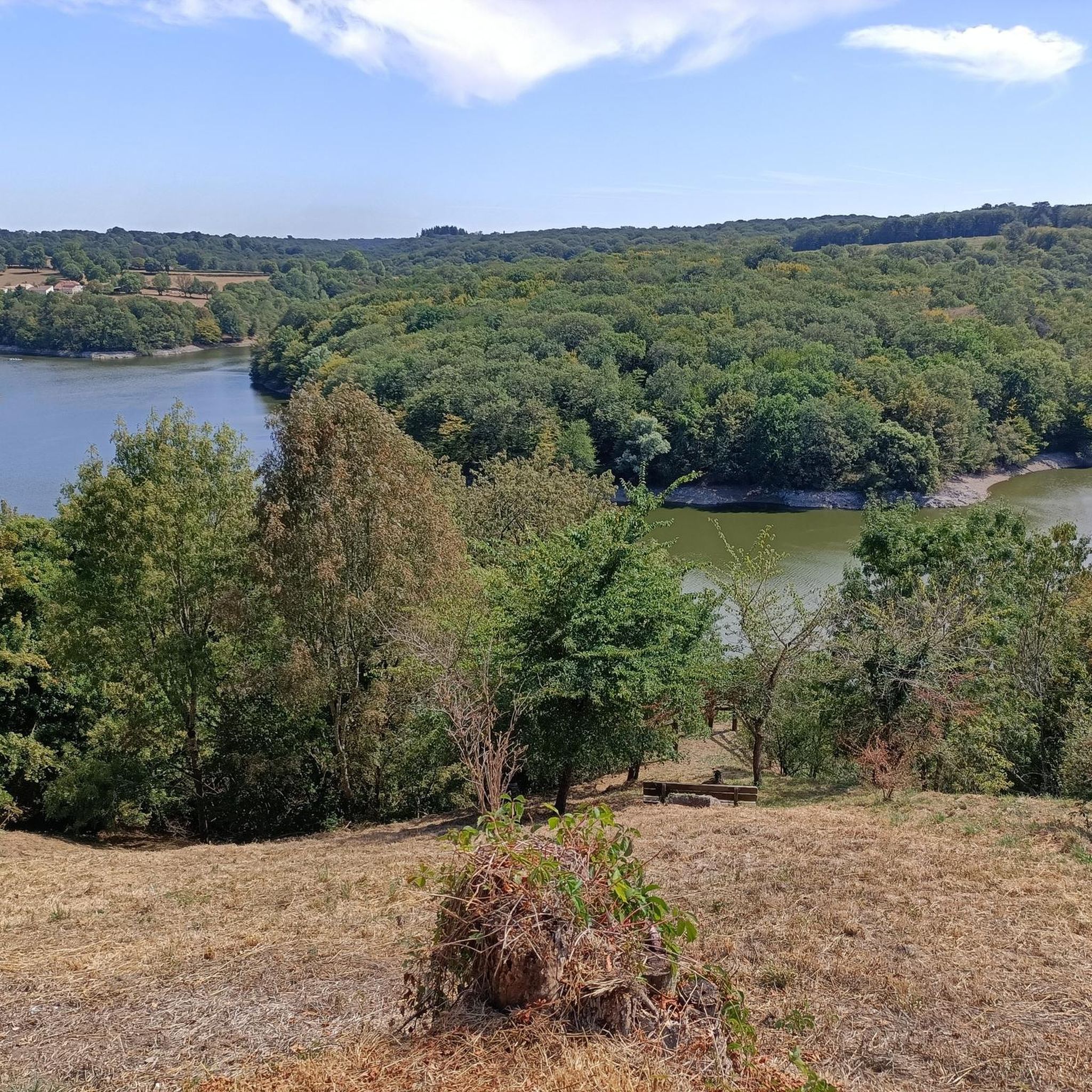
Hiking around Saint-Gelais offers diverse terrain characterized by a rolling, hilly landscape dotted with historical elements. The region features lush valleys, such as the Brangeard and Musson, and scenic routes along the Sèvre Niortaise river. Trails often traverse countryside roads, passing through villages with restored old houses and offering wide viewpoints over the surrounding area. This varied topography provides engaging routes for different hiking preferences.
Best hiking trails around Saint-Gelais
- The most popular hiking route is Saint-Gelais – loop,…
Last updated: July 2, 2026
4.8
(9)
21
hikers
9.37km
02:28
80m
80m
Moderate hike. Good fitness required. Easily-accessible paths. Suitable for all skill levels.
4.6
(8)
29
hikers
10.9km
02:50
70m
70m
Moderate hike. Good fitness required. Easily-accessible paths. Suitable for all skill levels.
4.5
(6)
19
hikers
5.30km
01:24
50m
50m
Easy hike. Great for any fitness level. Easily-accessible paths. Suitable for all skill levels.
Get access to more routes and recommendations from other explorers.
Sign up for free
Already have an account?
Our route recommendations are based on thousands of hikes, rides, and runs completed by other people on komoot.
Start today with a free account
Your next adventure awaits.
Login or Signup



Tips from the Community

A rather grand example of a riverside washhouse. One of many in the village.
2
0

Walking address https://www.saintgelais.fr/decouvert-saint-gelais/envie-de-se-promener/
1
0
Nice little hike
1
0
Frequently Asked Questions
How many hiking trails are available around Saint-Gelais?
There are over 200 hiking routes in the Saint-Gelais area, catering to various preferences and skill levels. You'll find a wide selection of trails, from easy strolls to more challenging hikes, allowing you to explore the diverse landscapes of the Deux-Sèvres department.
What is the general difficulty level of hikes in Saint-Gelais?
The hiking trails around Saint-Gelais offer a range of difficulties. The majority are classified as easy (over 100 routes) or moderate (over 130 routes), making them accessible for most hikers. There are also a few more challenging options for those seeking a greater adventure.
Are there any circular walks available in Saint-Gelais?
Yes, Saint-Gelais offers several engaging circular walks. For example, the Bourg Washhouse loop from Saint-Gelais is an easy 5.3 km trail that takes you through local villages and past historical washhouses. Another option is the moderate Saint-Gelais – loop, which covers 9.4 km and explores the local countryside.
What kind of landscapes and natural features can I expect to see while hiking?
Hiking around Saint-Gelais reveals a diverse topography. You'll encounter charming rolling countryside, lush valleys like the Brangeard and Musson, and scenic routes along the Sèvre Niortaise river, often described as 'turquoise' with abundant vegetation. Trails frequently traverse picturesque countryside roads, passing through villages with beautifully restored old houses and offering wide viewpoints over the surrounding area.
Are there any historical landmarks or attractions along the hiking trails?
Absolutely. The trails often weave through the local heritage. You can discover restored washhouses, Romanesque churches, and even a 'tree of Liberty'. The 'Saint-Gelais - La pierre et l'eau' trail, for instance, guides you through nine centuries of history, including a Romanesque church, a circular temple, a Renaissance castle, and the Mélusine fountain. You might also encounter the historic Niort Castle Keep nearby.
What do other hikers enjoy most about the trails in Saint-Gelais?
The routes in Saint-Gelais are highly rated by the komoot community, with an average score of 4.6 stars from over 500 reviews. Hikers often praise the varied terrain, the integration of historical elements, and the well-maintained paths that offer both natural beauty and cultural insights. Many appreciate the scenic river sections and the charming village passages.
Are the hiking trails in Saint-Gelais suitable for families?
Yes, many trails are suitable for families. With over 100 easy routes, you'll find plenty of options for shorter, less strenuous walks. The varied landscapes and historical features, such as washhouses and old houses, provide interesting points for children. Picnic areas are also available to support longer family outings.
What is the best time of year to go hiking in Saint-Gelais?
The region is enjoyable for hiking throughout much of the year. Spring and autumn offer pleasant temperatures and vibrant scenery, with lush greenery in the valleys. Summer is also suitable, especially for walks along the river, though it can be warmer. Winter hiking is possible, but conditions may vary.
Is there public transport access to the hiking trails in Saint-Gelais?
Saint-Gelais is located just 7 km from Niort, which is a larger urban center. While specific public transport links directly to every trailhead might vary, its proximity to Niort suggests that accessing the area by public transport and then potentially a short local connection or walk to trailheads is feasible. It's advisable to check local bus schedules from Niort to Saint-Gelais.
Are there options for longer, more challenging hikes in the area?
While the majority of trails are easy to moderate, there are options for longer hikes. For instance, the Ruffigny washhouse loop from François is a moderate 12.3 km trail, offering a more extended exploration of the countryside. These longer routes often feature more varied terrain and elevation changes.
Can I find places to eat or stay near the hiking trails?
Saint-Gelais itself is a village, and its proximity to Niort (7 km away) means you have easy access to urban amenities, including cafes, pubs, and accommodation options. Within Saint-Gelais and surrounding villages, you may find local establishments, but for a wider selection, Niort is a convenient choice.
Are there any specific trails that offer panoramic views?
Yes, several hiking circuits in the region offer excellent viewpoints. High points, such as the water tower near Cherveux-Saint-Christophe, provide 'far-reaching views of the countryside'. Saint-Gelais itself is noted for offering a 'wide viewpoint over the Sèvre Niortaise', allowing hikers to take in the scenic river and surrounding landscape.
Most popular routes around Saint-Gelais
Most popular attractions around Saint-Gelais

Get inspired with the komoot mobile app


Explore more
Browse the best Hikes in other regions.
