The best walks and hikes around Aillevans
4.4
(69)
534
hikers
48
hikes
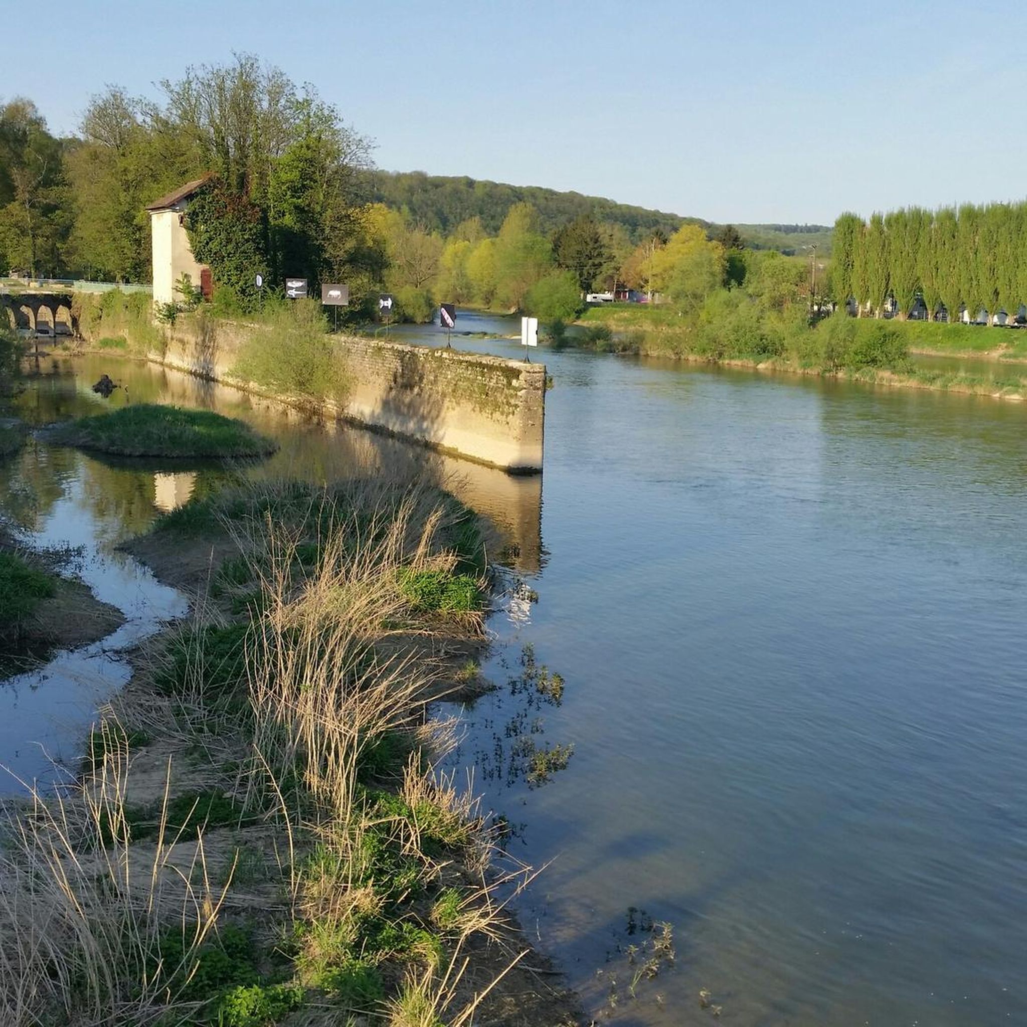
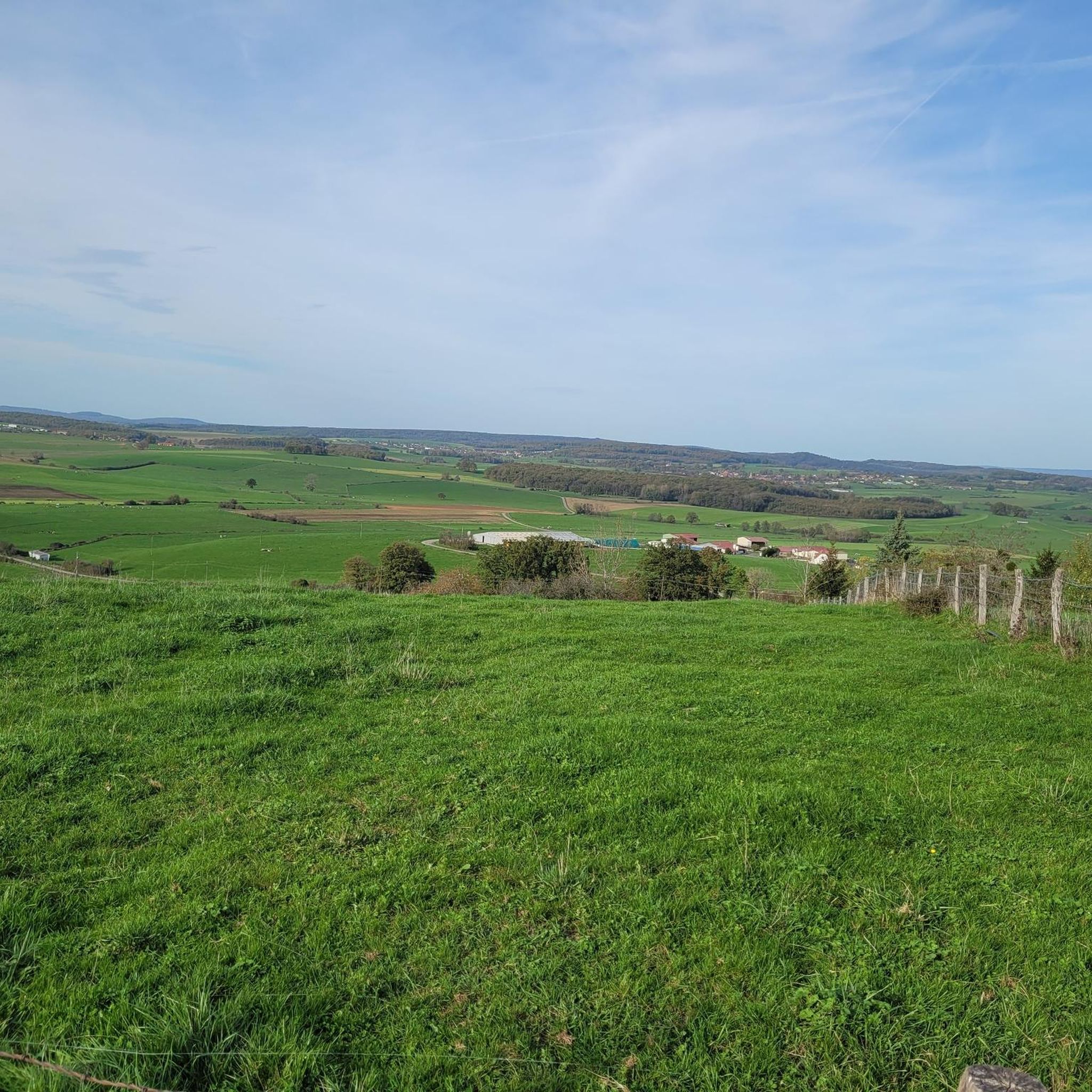
Hiking around Aillevans offers a network of trails through varied landscapes in the Haute-Saône department. The region features a mix of agricultural land, woodlands, and historical sites, including the notable Plateau des Mille Étangs with its numerous ponds and diverse ecosystems. Trails often follow river valleys and traverse gentle hills, providing accessible routes for different skill levels. The terrain is generally characterized by moderate elevation changes and significant forest cover.
Best hiking trails around Aillevans
- The most popular hiking route…
Last updated: July 2, 2026
4.8
(5)
26
hikers
14.3km
03:56
250m
250m
Moderate hike. Good fitness required. Easily-accessible paths. Suitable for all skill levels.
4.8
(5)
26
hikers
13.4km
03:44
240m
250m
Moderate hike. Good fitness required. Easily-accessible paths. Suitable for all skill levels.

Sign up for free
3.5
(2)
21
hikers
7.37km
02:02
130m
130m
Moderate hike. Good fitness required. Easily-accessible paths. Suitable for all skill levels.
3.5
(2)
24
hikers
7.31km
02:01
130m
130m
Moderate hike. Good fitness required. Easily-accessible paths. Suitable for all skill levels.
1
hikers
13.0km
03:29
160m
160m
Moderate hike. Good fitness required. Easily-accessible paths. Suitable for all skill levels.
Get access to more routes and recommendations from other explorers.
Sign up for free
Already have an account?
Our route recommendations are based on thousands of hikes, rides, and runs completed by other people on komoot.
Start today with a free account
Your next adventure awaits.
Login or Signup

Tips from the Community

Open only on weekends from 2 pm to 6 pm in summer. Check in advance.
0
0

The Église Sainte-Marie-Madeleine can be visited.
0
0

Viewpoint allowing you to admire the foothills of the Vosges and N.-D.-du-Haut de Ronchamp. Orientation table.
0
0
Of the old church built in 1566, only the tower and a secondary chapel escaped destruction following a fire in the 1850s and fighting during the Second World War.
0
0
The oldest parts of this castle date from the 15th century: portal, turret and vaulted cellars, the rest of the castle is a more recent reconstruction after the destruction by Swedish troops in 1636. Private property.
1
0
The saltworks was founded in 1828 after the discovery of a rich salt deposit, operations stopping in 1936. A chimney, the entrance gate and an administrative building remain from the old saltworks.
0
0
Sessile oak over 200 years old and over 30 meters high. Located on the “Voie du Sel et du Charbon”, an explanatory panel provides information on the tree and wood industry in Haute-Saône.
0
0
Covered wash house from the 19th century, built in a semi-circle leaning against a wall. The exterior serves as a watering trough for the livestock, access to the washhouse inside is protected by two gates.
0
0
Frequently Asked Questions
How many hiking trails are available around Aillevans?
Aillevans offers a diverse network of over 40 hiking trails. These routes traverse varied landscapes, including agricultural land, woodlands, and areas with historical sites, catering to different preferences and skill levels.
Are there easy hikes suitable for beginners or families in Aillevans?
Yes, Aillevans has a good selection of easy hikes. There are 18 routes classified as easy, perfect for beginners or families looking for a relaxed outing. An example is the Beautiful Cycle Path – View of the River loop from Moimay, an easy 4.5-mile (7.3 km) path that takes about 2 hours to complete.
What kind of terrain and scenery can I expect on hikes around Aillevans?
The region around Aillevans is characterized by a mix of agricultural fields, dense woodlands, and gentle hills. Many trails follow picturesque river valleys and often pass by historical sites such as castles and priories. The terrain generally features moderate elevation changes, making it accessible for a wide range of hikers.
Are there any circular walks available in the Aillevans area?
Yes, many of the hiking routes around Aillevans are circular, allowing you to start and end at the same point. For instance, the Château d'Oricourt – Dolmens loop from Oricourt is a moderate 4.6-mile (7.4 km) circular trail that explores historical sites and natural landscapes.
What historical sites or landmarks can I see along the hiking trails?
Hiking around Aillevans often leads you past significant historical landmarks. You can explore sites like Château de Villersexel or Vallerois-le-Bois Castle. Many routes, such as the Marast Priory – Oricourt Castle loop from Marast, specifically incorporate these historical points of interest.
What do other hikers enjoy most about the trails in Aillevans?
The hiking trails in Aillevans are highly regarded by the komoot community, with an average rating of 4.5 stars from over 60 reviews. Hikers frequently praise the region's blend of historical sites, varied natural landscapes, and the well-maintained paths that offer enjoyable experiences for different skill levels.
Are there any viewpoints on the hiking trails around Aillevans?
Yes, some trails offer scenic viewpoints where you can enjoy panoramic views of the surrounding countryside. For example, The Vouhenans hill is a notable viewpoint in the area, providing excellent vistas.
Can I bring my dog on the hiking trails in Aillevans?
Generally, dogs are welcome on hiking trails in the Aillevans region. However, it's always recommended to keep them on a leash, especially when passing through agricultural areas or near livestock, and to check for any specific local regulations or signage on individual routes.
What is the best time of year to go hiking in Aillevans?
The best time for hiking in Aillevans is typically from spring to autumn (April to October). During these months, the weather is generally mild and pleasant, making for comfortable hiking conditions. Spring brings blooming flora, while autumn offers beautiful foliage.
Are there any challenging hiking routes for experienced hikers?
While the majority of routes are easy to moderate, there are a few more challenging options for experienced hikers. The region features 3 routes classified as difficult, offering more strenuous climbs and longer distances for those seeking a greater challenge.
Is public transport available to reach hiking starting points in Aillevans?
Public transport options directly to specific trailheads in Aillevans can be limited, as is common in many rural areas. It is advisable to check local bus schedules or consider driving to the starting points, as many routes are more easily accessible by car.
Where can I find parking for hiking trails near Aillevans?
Parking is generally available near the starting points of many popular trails and in the villages surrounding Aillevans. Look for designated parking areas in towns like Oricourt or Gouhenans. It's always a good idea to check the specific route details on komoot for recommended parking spots.
Most popular routes around Aillevans
Most popular attractions around Aillevans

Get inspired with the komoot mobile app


Explore more
Browse the best Hikes in other regions.
