The best road cycling routes around Belprahon
4.7
(132)
4,350
riders
88
rides
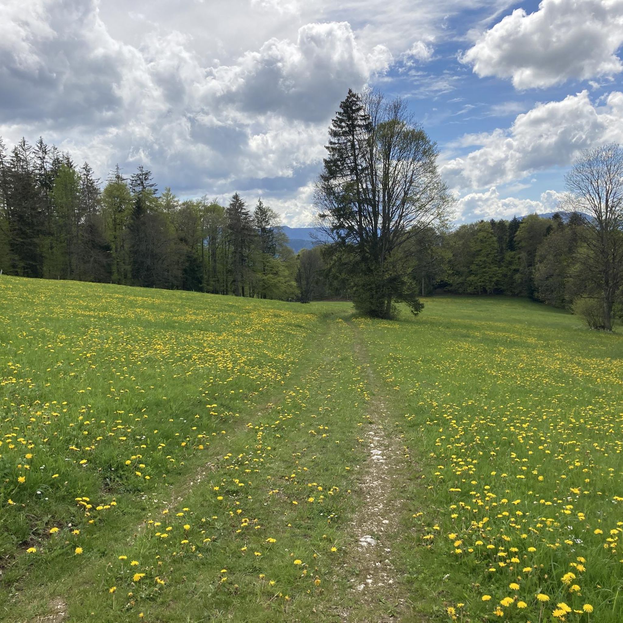
Road cycling around Belprahon offers diverse terrain within the Bernese Jura, situated in the "Cornet" or Grand Val. The municipality stretches across the southern slope of the Raimeux mountain, providing varied topography from the Raus river at 542 meters to the Raimeux's summit at 1,265 meters. This region features natural inclines and descents, characterized by captivating countryside, serene valleys, and fir-forested plateaus. The northwestern boundary follows the scenic Arête de Raimeux, contributing to the area's varied road cycling terrain.
Best…
Last updated: June 26, 2026
4.8
(4)
136
riders
86.9km
04:27
1,370m
1,370m
Hard road ride. Very good fitness required. Mostly well-paved surfaces and easy to ride.
5.0
(3)
116
riders
94.3km
04:23
1,060m
1,060m
Hard road ride. Very good fitness required. Mostly well-paved surfaces and easy to ride.

Sign up for free
4.7
(3)
68
riders
59.6km
03:49
1,740m
1,740m
Hard road ride. Very good fitness required. Mostly well-paved surfaces and easy to ride.
4.0
(2)
57
riders
109km
06:05
2,250m
2,250m
Hard road ride. Very good fitness required. Mostly well-paved surfaces and easy to ride.
61
riders
Hard road ride. Very good fitness required. Mostly well-paved surfaces and easy to ride.
Get access to more routes and recommendations from other explorers.
Sign up for free
Already have an account?
Our route recommendations are based on thousands of hikes, rides, and runs completed by other people on komoot.
Start today with a free account
Your next adventure awaits.
Login or Signup
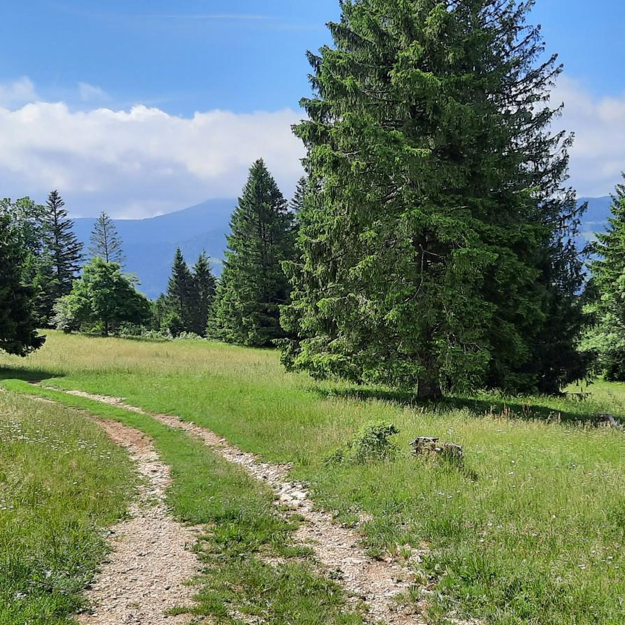
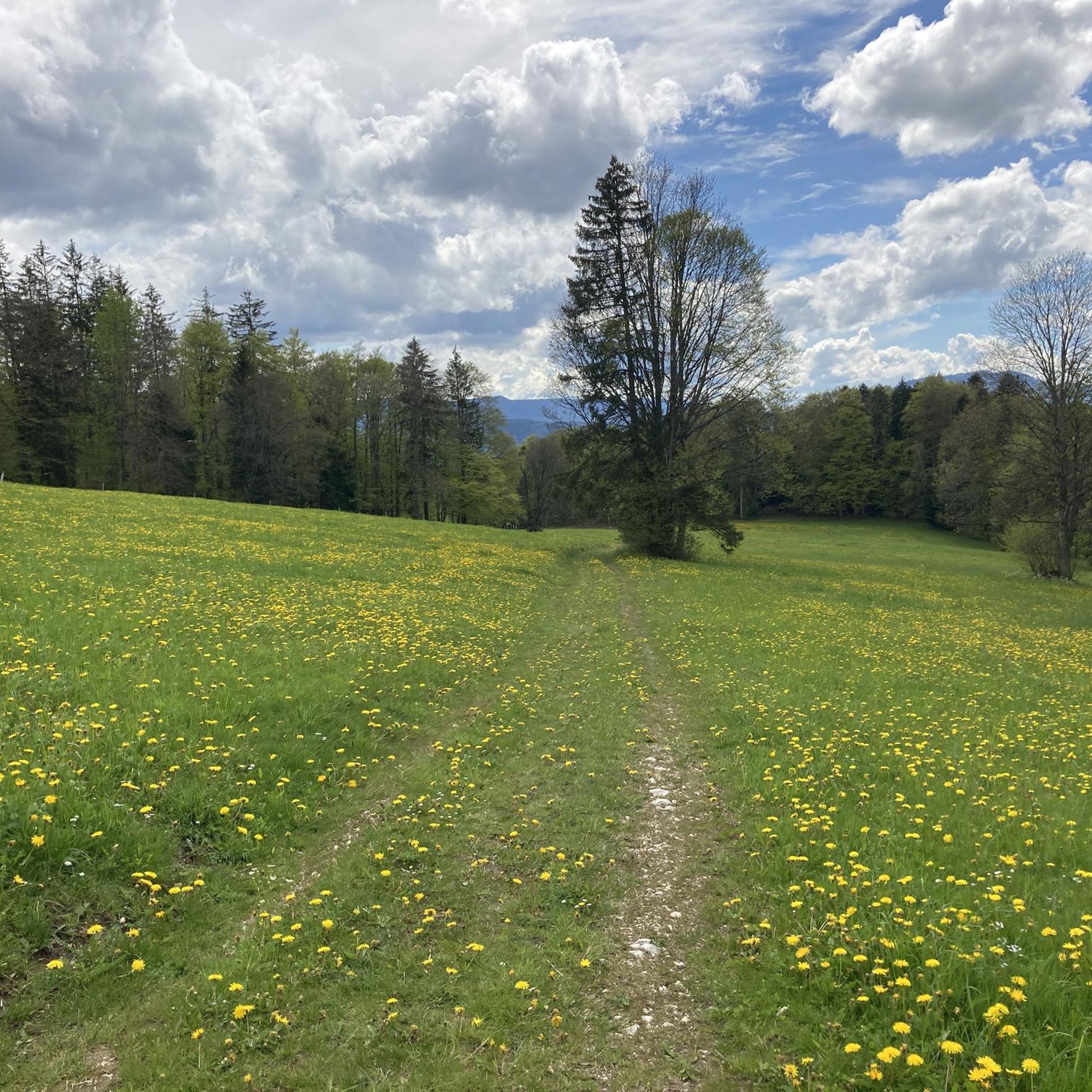
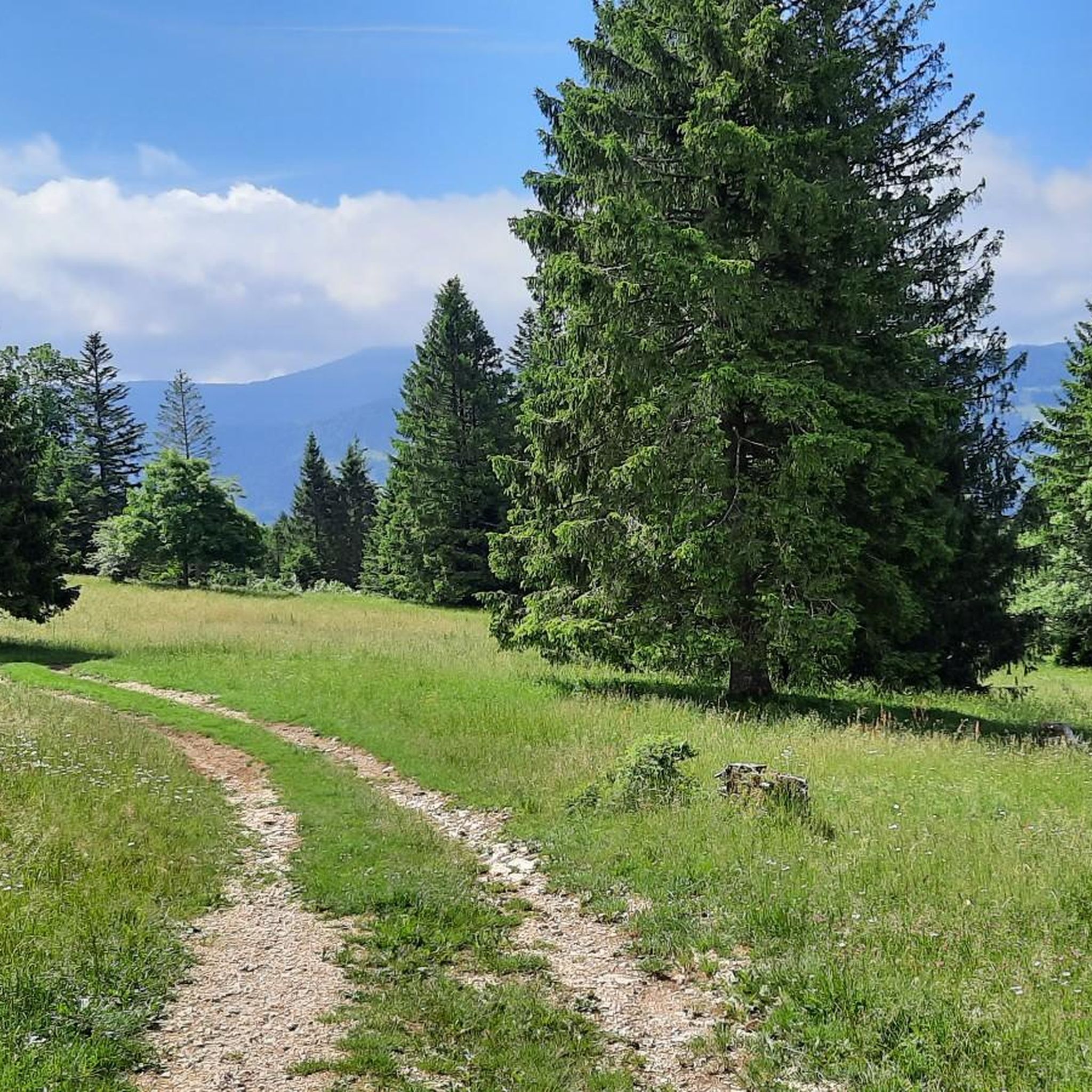
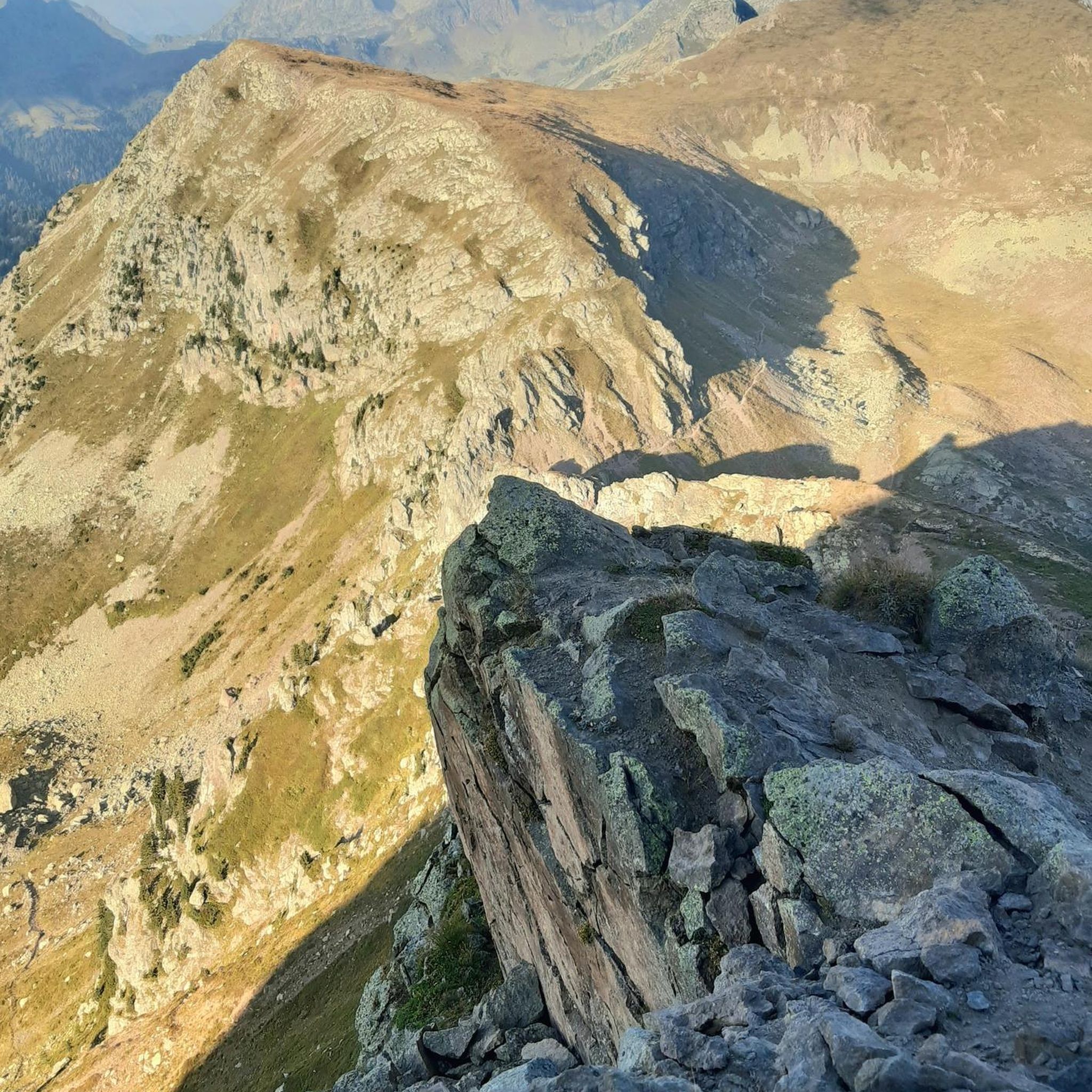

Tips from the Community

The pass appears unspectacular, but those who take the time for a short break can admire the southern Jura mountain ranges and the gentle hills to the north through the hedge.
0
0
Whether the body of water is truly a reservoir or more like an Alsatian carp pond, I cannot and will not judge – the location at the very back of the Lützeltal valley and the beautiful nature all around is wonderful nonetheless.
0
0
I can only agree with Mattia: it's a short stretch of road through fields, but otherwise completely unspectacular, not even worth a tip...
0
0

Biederthal is often reached by car from Basel / the Birstal valley, but this point here is nothing special in itself.
0
0
There are better places to admire the Birs: It's always quite busy and there's heavy traffic here. Therefore, I recommend: Take a look as you drive by and move on.
0
0


A well-surfaced trail. Perfect for road bikes.
0
0
Perfect cycle paths to avoid the main road.
0
0
Frequently Asked Questions
How many road cycling routes are available around Belprahon?
There are over 90 road cycling routes available around Belprahon, offering a wide range of options for different skill levels and preferences.
What kind of terrain can I expect when road cycling near Belprahon?
The Belprahon area, situated in the Bernese Jura, offers diverse terrain. You'll encounter natural inclines and descents, ranging from the Raus river at 542 meters to the Raimeux's summit at 1,265 meters. The region is characterized by captivating countryside, serene valleys, and remote fir-forested plateaus, providing varied topography ideal for road cycling.
Are there challenging road cycling routes in the Belprahon area?
Yes, the region is well-suited for challenging rides. Over 50 of the routes around Belprahon are classified as difficult. For instance, the Weissenstein Pass summit (1279 m) – Grenchenberg loop from Moutier involves significant climbs and offers panoramic views.
Can I find easier road cycling options around Belprahon?
While many routes are challenging, there are also easier options available. Approximately 11 routes are categorized as easy, providing less strenuous rides through the scenic Jura landscape.
What are some notable landmarks or viewpoints I can see while cycling near Belprahon?
Road cycling routes in the area can lead you to several impressive viewpoints and landmarks. You might pass by the Weissenstein, the Röti summit, or the Mont Raimeux Observation Tower and Viewpoint, all offering stunning vistas of the surrounding Jura mountains.
Are there any loop routes for road cycling starting near Belprahon?
Yes, many road cycling routes in the area are designed as loops, often starting from nearby Moutier. An example is the Gabiare Valley near Envelier – Sorne Gorge loop from Moutier, which explores scenic valleys and gorges.
Where can I park my car when starting a road cycling tour in the Belprahon area?
While specific parking facilities in Belprahon are not detailed, Moutier, a common starting point for many routes, is a larger town and likely offers public parking options suitable for cyclists. It's advisable to check local parking availability upon arrival.
How can I reach the cycling routes around Belprahon using public transport?
Moutier, a key hub for many routes, is accessible by train, as indicated by the historical Moutier-Granges railway tunnel. This makes it a convenient starting point for cyclists using public transport to access the region's routes.
What is the best time of year for road cycling in Belprahon?
The Jura region, with its diverse landscapes and higher elevations, is generally best for road cycling during the warmer months, from late spring to early autumn. This period offers more stable weather conditions and clear roads, allowing you to fully enjoy the scenic routes and mountain passes.
Are there cafes or restaurants along the road cycling routes near Belprahon?
Yes, you can find places to refuel during your rides. The area includes several restaurants and huts, such as Untergrenchenberg Restaurant and Restaurant Oberdörfer, which are popular stops for cyclists.
What do other road cyclists enjoy the most about road cycling in Belprahon?
The road cycling experience around Belprahon is highly rated by the komoot community, with an average score of 4.6 stars from over 120 reviews. Cyclists often praise the varied topography, the challenging climbs to Jura passes, and the captivating countryside with its serene valleys and fir-forested plateaus.
Can I find routes that include high Jura landscapes and significant climbs?
Absolutely. The region is known for its high Jura landscapes and significant elevation changes. A prime example is the Mont Crosin (1,227 m) – View from the Chasseral summit loop from Moutier, which takes you through elevated terrain and offers extensive views.
Most popular routes around Belprahon
Most popular attractions around Belprahon

Get inspired with the komoot mobile app


Explore more
Browse the best Road cycling routes in other regions.
