The best walks and hikes around Blagny-Sur-Vingeanne
4.2
(112)
309
hikers
16
hikes
Hiking around Blagny-Sur-Vingeanne offers a blend of tranquil waterways, dense forests, and gentle rolling hills. The region is characterized by the Vingeanne river, which carves through lush valleys, and the Canal entre Champagne et Bourgogne, providing flat towpaths. Extensive forested areas like the Forêt de Mirebeau and Forêt de Renève offer shaded trails. This landscape provides varied terrain, from open countryside to sheltered woodlands, suitable for different hiking experiences.
Best hiking trails around Blagny-Sur-Vingeanne
- The most popular hiking route is…
Last updated: July 6, 2026
4.6
(30)
77
hikers
7.24km
01:55
70m
70m
Hike an easy 4.5-mile (7.2 km) loop around the picturesque medieval village of Bèze, featuring the stunning Source de la Bèze spring.
15.9km
04:04
50m
50m
Hike a moderate 9.9-mile loop featuring the historic Château de Rosières and the scenic Canal entre Champagne et Bourgogne.

Sign up for free
4.6
(36)
98
hikers
6.49km
01:43
60m
60m
Easy hike. Great for any fitness level. Easily-accessible paths. Suitable for all skill levels.
4.6
(7)
13
hikers
11.3km
02:55
50m
50m
Moderate hike. Good fitness required. Easily-accessible paths. Suitable for all skill levels.
5.0
(1)
8
hikers
4.21km
01:05
20m
20m
Easy hike. Great for any fitness level. Easily-accessible paths. Suitable for all skill levels.
Get access to more routes and recommendations from other explorers.
Sign up for free
Already have an account?
Our route recommendations are based on thousands of hikes, rides, and runs completed by other people on komoot.
Start today with a free account
Your next adventure awaits.
Login or Signup
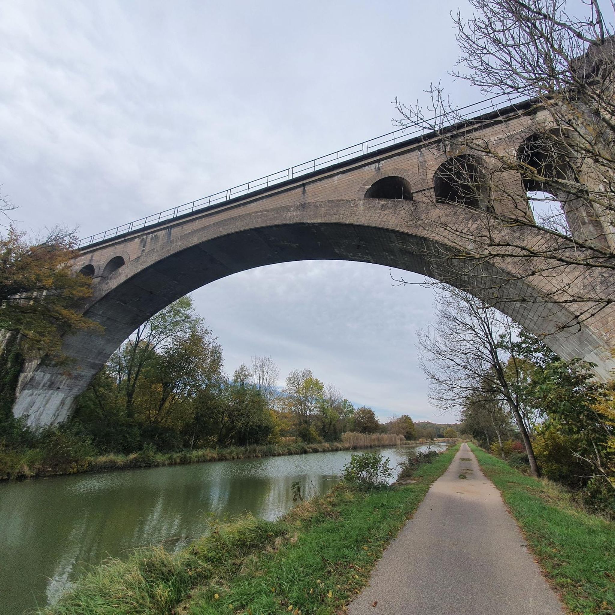
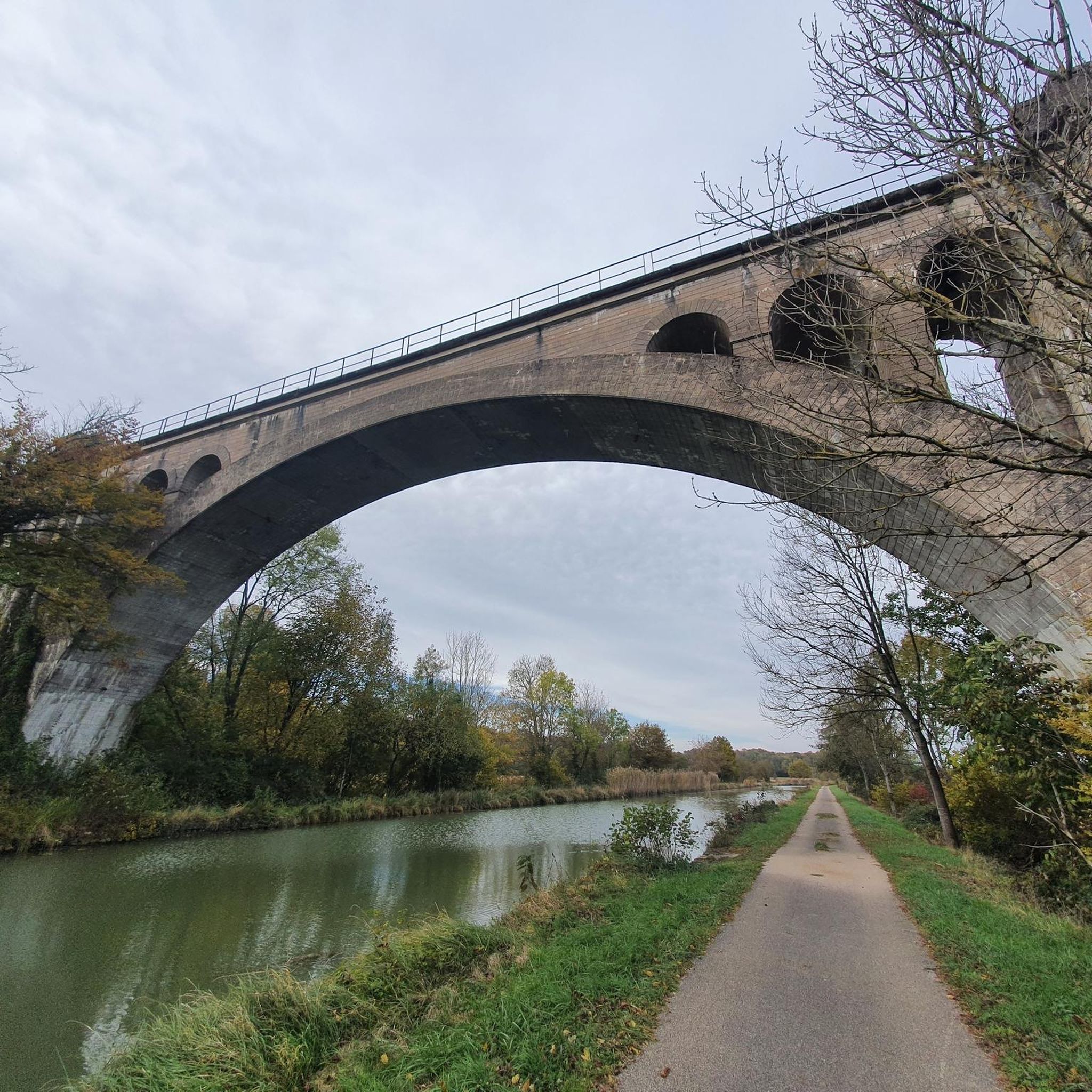



Tips from the Community

The abbey is now privately owned, but can be visited during Heritage Days.
0
0
A former Benedictine abbey, it belonged to the diocese of Langres until 1731, then to the diocese of Dijon until 1791, when it and its possessions were sold as national property. Much of it was destroyed in 1805, but many buildings remain, such as these two 15th-century towers, a wash house, the convent buildings, and the remains of the 12th-century abbey church. (source: Wikipedia)
0
0

Beautiful walk partly along ancient paths
0
0


Beautiful source of the Burgundy region
1
0
Painter's decorations.
1
0
The color of the water is splendid, the water scrolls between the stone houses
0
0
Bridges, there are a few in the village. Amazing !
1
0
Frequently Asked Questions
What kind of terrain can I expect on hikes around Blagny-Sur-Vingeanne?
The landscape around Blagny-Sur-Vingeanne is characterized by tranquil and varied natural environments. You'll find serene riverside paths along the Vingeanne river, flat and accessible towpaths alongside the Canal entre Champagne et Bourgogne, and shaded trails through extensive forested areas like the Forêt de Mirebeau and Forêt de Renève. The terrain generally features rolling hills and fertile plains, offering a mix of open vistas and sheltered routes.
What are the difficulty levels of hiking trails in this area?
Blagny-Sur-Vingeanne offers a range of trails suitable for various fitness levels. You'll find easy strolls, such as the Tour of Bèze by the River and Woods, which is 4.5 miles (7.2 km) long. There are also moderate routes, like the Château de Rosières and Canal entre Champagne et Bourgogne Loop, spanning 9.9 miles (15.9 km), and some more challenging options, such as the 13.2-mile (21.2 km) Bèze Church – Bèze Spring loop from Bèze.
Are there family-friendly hiking options in Blagny-Sur-Vingeanne?
Yes, the region provides several easy routes perfect for families. Many circuits along the Vingeanne river and the Canal entre Champagne et Bourgogne offer gentle terrain and picturesque views. An example is the Bèze Church – Bèze, medieval village loop from Bèze, an easy 4.2-mile (6.8 km) trail that explores a charming medieval village.
What natural features and landmarks can I discover along the trails?
Hiking in this area allows you to explore diverse natural and historical sites. You can walk along the Vingeanne river and through the ecologically important Gorges de la Vingeanne. The Canal entre Champagne et Bourgogne offers unique views of fluvial heritage. Historically, you might encounter the Château de Rosières, the Bèze Spring, or the Stone Bridge and Canal in Cheuge. The Château de Rosières – Château de Rosières loop from Fontenelle is a moderate route that passes by the castle.
Are there circular hiking routes available?
Yes, many of the trails around Blagny-Sur-Vingeanne are designed as circular routes, allowing you to start and end at the same point. For instance, the Château de Rosières and Canal entre Champagne et Bourgogne Loop is a popular moderate circular hike.
What is the best time of year to go hiking in Blagny-Sur-Vingeanne?
The region is enjoyable for hiking throughout much of the year. Spring and autumn offer pleasant temperatures and beautiful scenery, with blooming flora or vibrant fall colors. Summer provides shaded trails in the extensive forests, while winter can offer a different, tranquil experience, though some paths might be muddy or require appropriate gear.
Is there parking available at the trailheads?
While specific parking details vary by trailhead, many routes in the region, especially those starting from villages or popular attractions, typically have designated parking areas nearby. It's advisable to check the route details on komoot for specific parking information for your chosen hike.
Can I bring my dog on the hiking trails?
Generally, dogs are welcome on many hiking trails in the Bourgogne-Franche-Comté region, especially on public footpaths and in natural areas. However, it's always recommended to keep them on a leash, particularly in forested areas or near wildlife, and to respect local regulations that might apply in specific nature reserves or protected zones like the Gorges de la Vingeanne (Natura 2000 network).
What do other hikers enjoy most about hiking in Blagny-Sur-Vingeanne?
The hiking routes in Blagny-Sur-Vingeanne are highly rated by the komoot community, with an average score of 4.2 stars from over 80 reviews. Hikers often praise the blend of tranquil waterways, dense forests, and gentle rolling hills, as well as the well-maintained paths along the Vingeanne river and the Canal entre Champagne et Bourgogne.
Are there any places to eat or drink near the hiking routes?
While Blagny-Sur-Vingeanne itself is a small commune, many hiking routes pass through or near charming villages in the surrounding area. These villages often have local cafes or restaurants where you can find refreshments. It's a good idea to check village amenities along your chosen route before you set out.
Where can I find accommodation if I want to stay overnight?
Accommodation options in the vicinity of Blagny-Sur-Vingeanne typically include guesthouses, bed and breakfasts, and small hotels in nearby towns and villages. These provide a comfortable base for exploring the region's hiking trails and other attractions like the Château de Talmay.
How many hiking trails are available in Blagny-Sur-Vingeanne?
There are over 10 hiking trails available around Blagny-Sur-Vingeanne, offering a variety of distances and difficulty levels. This includes 7 easy routes, 5 moderate routes, and 1 difficult route, ensuring options for every type of hiker.
Most popular routes around Blagny-Sur-Vingeanne
Most popular attractions around Blagny-Sur-Vingeanne

Get inspired with the komoot mobile app


Explore more
Browse the best Hikes in other regions.
