The best walks and hikes around Luzoir
4.3
(134)
724
hikers
52
hikes
Hiking around Luzoir offers a variety of routes through a gently rolling landscape, characterized by small hills, waterways, and historical features. The region features a mix of open countryside, wooded sections, and paths alongside ponds and old railway lines. Elevations are generally low, making many trails accessible for various fitness levels. The area provides opportunities to explore both natural scenery and local heritage.
Best hiking trails around Luzoir
- The most popular hiking route is Cascade de Blangy – View of…
Last updated: July 9, 2026
4.0
(1)
9
hikers
9.21km
02:26
90m
90m
Moderate hike. Good fitness required. Easily-accessible paths. Suitable for all skill levels.
4.5
(2)
11
hikers
10.8km
02:52
110m
110m
Moderate hike. Good fitness required. Easily-accessible paths. Suitable for all skill levels.

Sign up for free
4.0
(3)
12
hikers
9.21km
02:23
50m
50m
Moderate hike. Good fitness required. Easily-accessible paths. Suitable for all skill levels.
8
hikers
4.51km
01:13
50m
50m
Easy hike. Great for any fitness level. Easily-accessible paths. Suitable for all skill levels.
8
hikers
3.08km
00:49
30m
30m
Easy hike. Great for any fitness level. Easily-accessible paths. Suitable for all skill levels.
Get access to more routes and recommendations from other explorers.
Sign up for free
Already have an account?
Our route recommendations are based on thousands of hikes, rides, and runs completed by other people on komoot.
Start today with a free account
Your next adventure awaits.
Login or Signup




Tips from the Community


The Ohis railway viaduct was built around 1885, then destroyed during the First World War and rebuilt just after. 27 meters high and 187 meters long, it has 13 arches. The Busigny-Hirson line, which was completely closed in 1978, used to run through it.
0
0

The Ax Vert de la Thiérarche is a former railway line that has been converted into a cycling and walking path. The trail of almost 40 kilometers runs from Guise to Hirson, via Autreppes, and offers a pleasant and peaceful environment for walking, cycling and horse riding. The path runs along the banks of the Oise River and offers beautiful views of the natural and cultural heritage of the Thiérache.
2
0
Le viaduc ferroviaire de OHIS. It is a railway viaduct located in Ohis, a village in the Aisne department, a few kilometers east of Guise 23. The viaduct is an architectural masterpiece and is one of the highest railway viaducts in France. The viaduct was built in 1870 and has a height of 50 meters and a length of 300 meters. The viaduct is still in use and is part of the railway line between Laon and Hirson.
3
0

one of the beautiful old fortified churches in this region
2
0

Magnificent passage through the woods, and a pretty little village on the route.
2
0

Small pond on the old railway line. But scenic great place 😊
2
0
Frequently Asked Questions
How many hiking trails are there in Luzoir?
There are over 40 hiking routes around Luzoir, offering a diverse range of experiences. This includes 20 easy, 22 moderate, and 1 difficult route, catering to various fitness levels.
What kind of terrain can I expect on hikes around Luzoir?
Hikes around Luzoir feature a gently rolling landscape with small hills, waterways, and historical elements. You'll find a mix of open countryside, wooded sections, and paths alongside ponds and old railway lines. Elevations are generally low, making many trails accessible.
Are there easy hikes suitable for beginners or families in Luzoir?
Yes, Luzoir offers 20 easy routes perfect for beginners and families. An excellent option is the Ohis Railway Viaduct – Viaduct loop from Neuve-Maison, a 3.1 km (1.9 miles) easy trail that takes about 50 minutes to complete.
Are there any hikes with waterfalls in Luzoir?
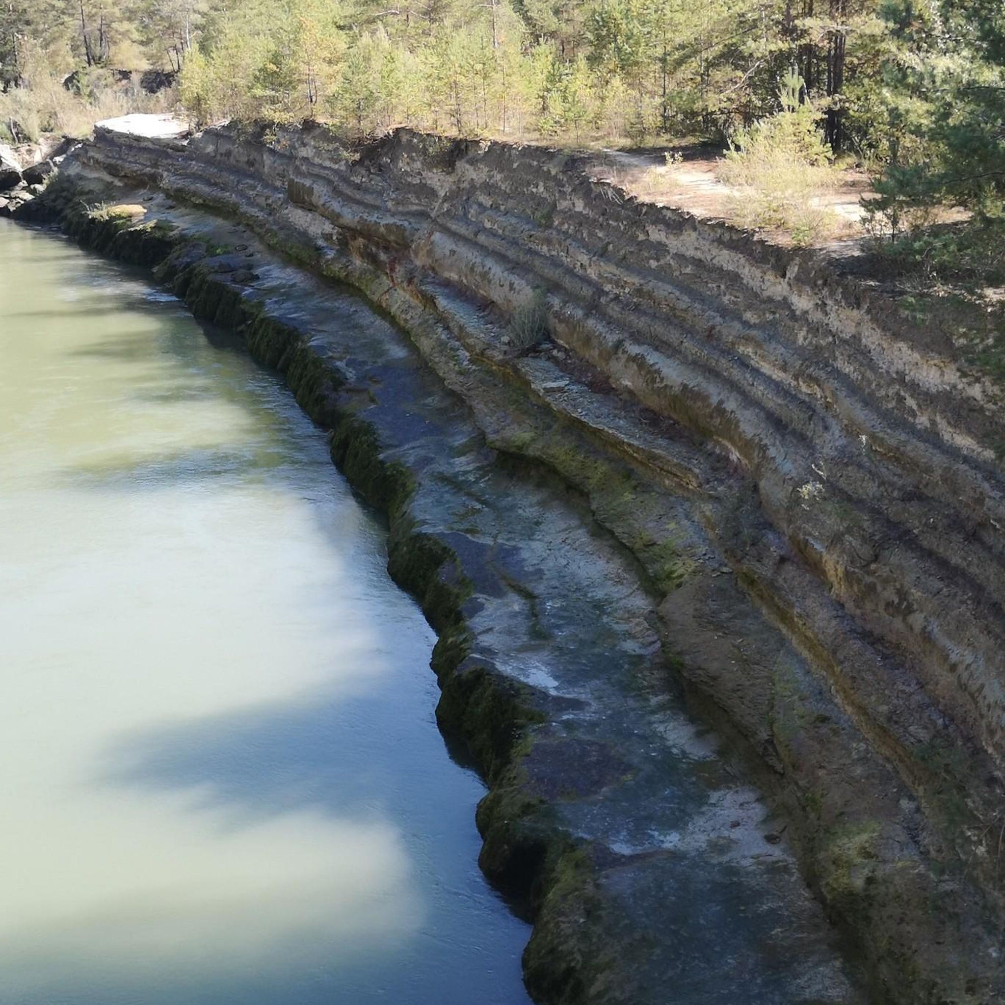
Yes, the area features the Cascade de Blangy. You can explore it on the Cascade de Blangy – View of Blangy loop from Hirson, an easy 5.4 km (3.3 miles) trail offering views of the waterfall and the village of Blangy.
Are there circular walks available in Luzoir?
Many of the trails in Luzoir are designed as circular routes. For example, the Cascade de Blangy – Étang de Blangy loop from Hirson is an easy 7.1 km (4.4 miles) loop that explores the pond and waterfall area.
What are the typical trail lengths in Luzoir?
Trail lengths in Luzoir vary, but many are suitable for half-day excursions. For instance, the Saint-Hilaire Church – Old railroad loop from Sorbais is a moderate 9.2 km (5.7 miles) trail, typically completed in about 2 hours 26 minutes.
Are there historical sites or landmarks to see while hiking in Luzoir?
Yes, the region is rich in historical features. You can explore the Old railroad, the Fortified Church of Saint-Martin of Wimy, or the impressive Ohis Railway Viaduct. Some routes, like the Saint-Hilaire Church loop, specifically pass through historical sites.
Can I hike with my dog in Luzoir?
While specific dog restrictions can vary by individual trail or protected area, generally, dogs are welcome on trails in Luzoir, especially in open countryside and wooded sections, provided they are kept under control. Always check local signage for any specific rules.
What do other hikers enjoy most about hiking in Luzoir?
The hiking routes in Luzoir are highly rated by the komoot community, with an average score of 4.4 stars from over 100 reviews. Hikers often praise the tranquil ponds, gentle hills, and the blend of natural scenery with historical elements like old railway lines.
Are there any challenging hikes in Luzoir?
While most trails are easy to moderate, there is one difficult route available for those seeking a greater challenge. The region's generally low elevations mean that even longer routes tend to be more about distance than steep climbs.
Are there viewpoints along the hiking trails in Luzoir?
Yes, some trails offer scenic viewpoints. The Cascade de Blangy – View of Blangy loop from Hirson, for example, provides lovely views over the village of Blangy and its waterfall.
Is public transport available to access trailheads in Luzoir?
Information on specific public transport links to individual trailheads is not readily available. It is generally recommended to use personal vehicles or check local bus schedules for access to the villages where many routes begin, such as Hirson or Sorbais.
Where can I park for hikes in Luzoir?
Parking is typically available in the villages where the hiking routes start, such as Hirson, Sorbais, Neuve-Maison, or La Bouteille. Look for designated public parking areas within these communities.
Most popular attractions around Luzoir

Get inspired with the komoot mobile app


Explore more
Browse the best Hikes in other regions.
