The best running trails around Mézières-Sur-Oise
4.3
(46)
2,302
runners
191
runs
Jogging routes around Mézières-sur-Oise offer diverse terrains within a luxuriant valley shaped by the Oise River. The region features extensive forested areas, including the Forêt de Mézières, providing established running circuits. These routes often incorporate mostly paved surfaces, ensuring accessibility for runners. The nearby Oise-Pays de France Regional Nature Park further enhances the area with its vast woodlands, calcareous grasslands, and wetlands, creating varied natural settings for running.
Best jogging routes around Mézières-sur-Oise
- The most popular jogging route is Running…
Last updated: June 29, 2026
7
runners
10.2km
01:03
20m
20m
Moderate run. Good fitness required. Mostly paved surfaces. Suitable for all skill levels.
4
runners
9.13km
00:57
20m
20m
Moderate run. Good fitness required. Mostly paved surfaces. Suitable for all skill levels.

Sign up for free
13
runners
Moderate run. Good fitness required. Mostly paved surfaces. Suitable for all skill levels.
4
runners
16.0km
01:41
110m
110m
Hard run. Very good fitness required. Mostly paved surfaces. Suitable for all skill levels.
3
runners
8.39km
00:53
70m
70m
Moderate run. Good fitness required. Mostly paved surfaces. Suitable for all skill levels.
Get access to more routes and recommendations from other explorers.
Sign up for free
Already have an account?
Our route recommendations are based on thousands of hikes, rides, and runs completed by other people on komoot.
Start today with a free account
Your next adventure awaits.
Login or Signup



Tips from the Community

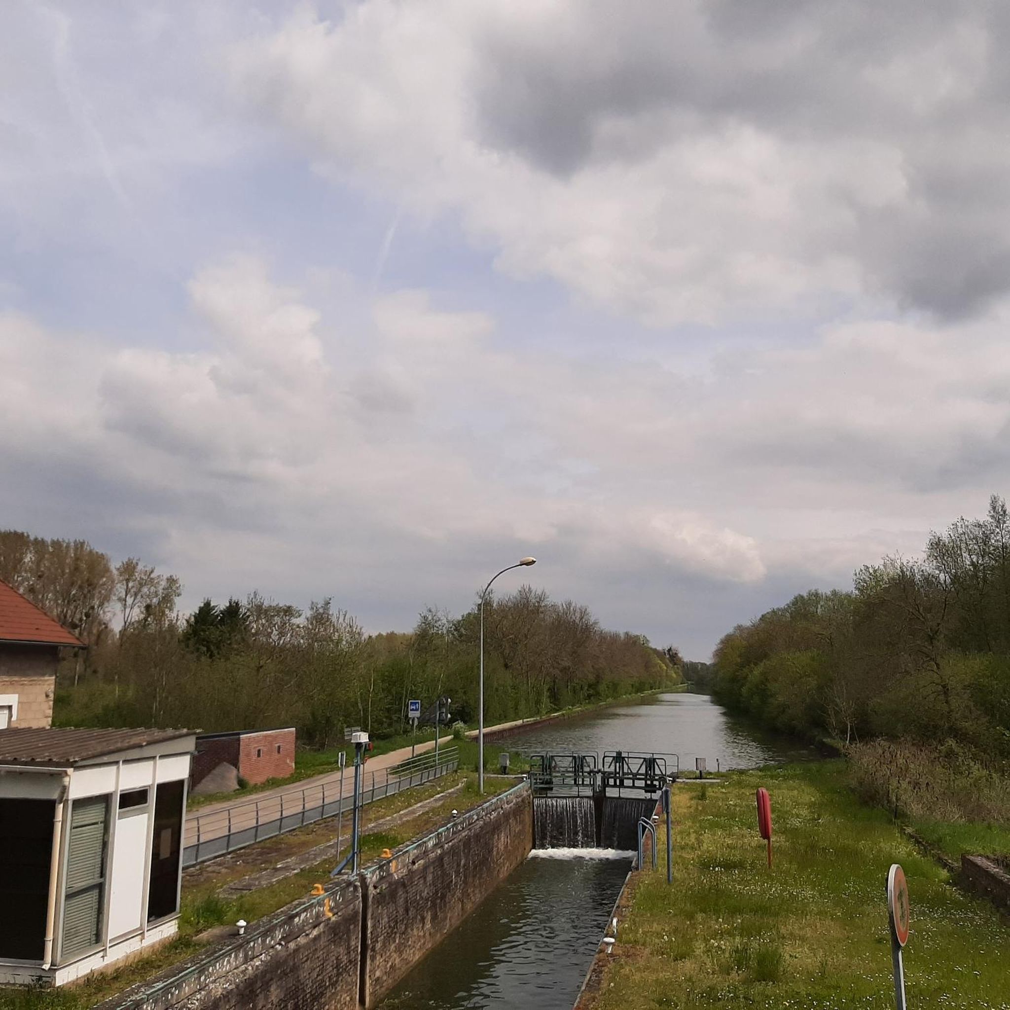
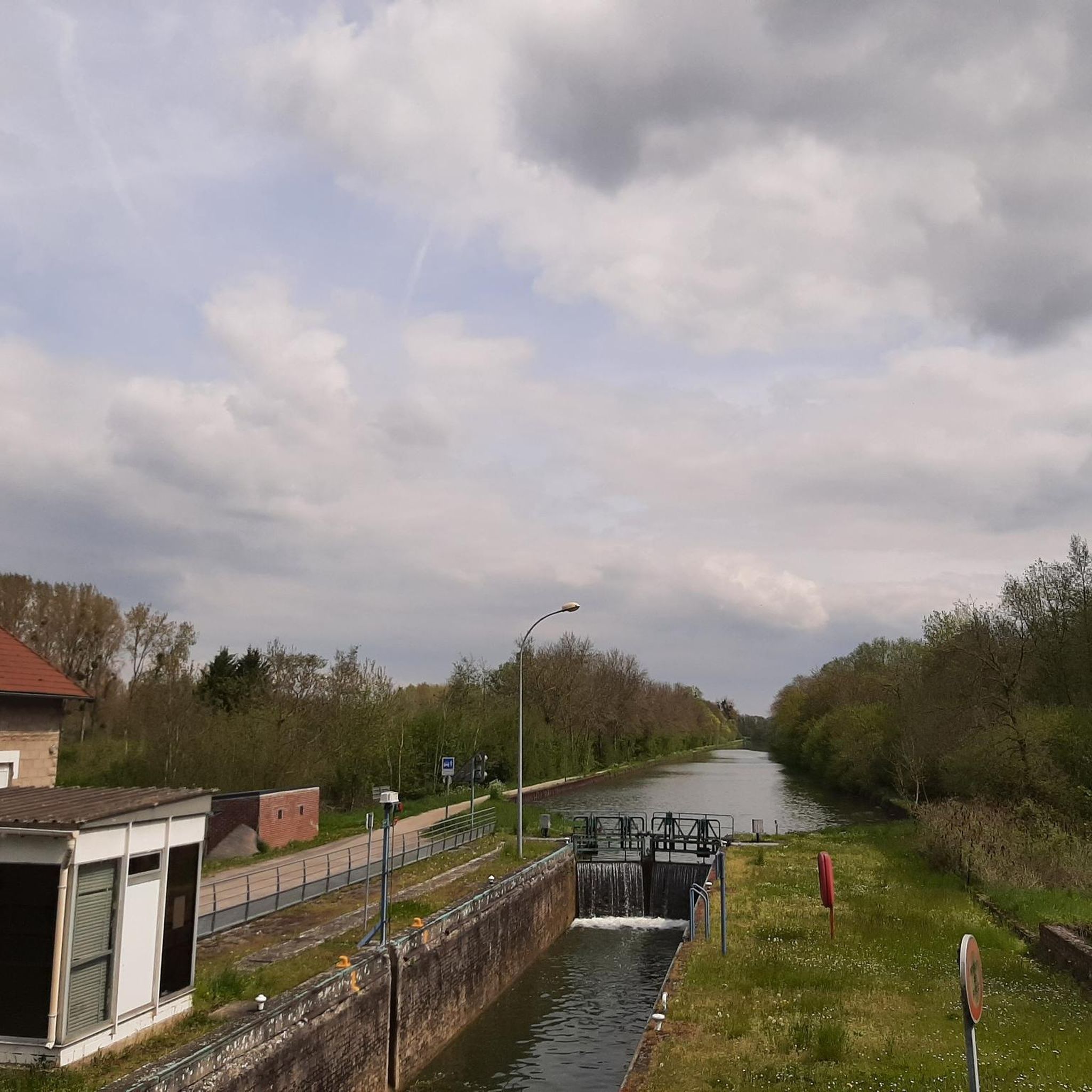
Hello. This is a beautiful hike through nature and a nice park for recreation. the hike runs along a canal and a marshland with well-passable hiking trails. This hike is highly recommended !!!!!!!!!!!!!
0
0

As a memorial to the many dead, such a "MONUMENT AUX MORTS" (usually called a "Central Memorial" or "War Memorial" in German-speaking countries) is still very important today. "Now, Lord, you let your servant depart in peace, as you have said..." it says in the so-called "Hymn of Simeon" (Luke's Gospel, Chapter 2, Verse 29). However, the people who are remembered here did not depart in peace, but became victims of war and tyranny. Therefore, the term "fallen memorial" is now sometimes used instead of the "war memorial" that was previously common in German. In the French-speaking world, however, this aspect of commemoration of the dead has long been included in the most commonly used term "MONUMENT AUX MORTS". Regardless of language and nation, such a memorial has two important and at the same time everlasting tasks: -1- to keep the memory of the suffering and horror of war alive, -2- and to remind people of the need to maintain peace in the long term.
2
0

Parc de l'Isle in Saint-Quentin offers a variety of trails for different levels of difficulty, from flat, easy trails along the Somme to hilly, wooded routes in the nature reserve. You can also admire the flora and fauna of the park, which houses a free zoo, a farm and a conservation center. The park is open all year round, from 8 a.m. to 8 p.m. in summer and from 8 a.m. to 6 p.m. in winter. Whether you are a beginner or an expert, you will find at Parc d'Isle something to satisfy your tastes and your pace.
2
0
The Saint-Quentin war memorial is a unique memorial dedicated to the city's soldiers who fell in combat during different wars. The monument is located near the train station and features a large granite wall with three bas-reliefs depicting scenes from 1557, 1870 and 1914-19181. You can admire the work of architect Paul Bigot and sculptors Henri Bouchard and Paul Landowski, who created this impressive structure in 1927. The monument is also a tribute to the resilience of the residents of Saint-Quentin, who endured the destruction and exodus caused by conflicts.
3
0

The track runs along the Oise all the way, first in town, then between the fields and the barges. On arrival at the Croix Saint Ouen, you have to drive through the village and on small roads to catch up with the cycle paths inside the forest. It is best to start south of Compiègne in the ZAC de Mercières, near the swimming pool and the ice rink. The place is easy to spot. The walk is very nice and runs along the Oise. You always have to stay on your side.
0
0

It's very green, we are close to nature.
0
0

An excellently developed bike path through beautiful countryside along the river. Highly recommended!
0
0

Frequently Asked Questions
How many running routes are available around Mézières-sur-Oise?
There are over 170 running routes around Mézières-sur-Oise, catering to various fitness levels. You'll find a good mix of easy, moderate, and challenging trails to explore.
What kind of terrain can I expect on jogging routes in this region?
The region around Mézières-sur-Oise offers diverse terrains. You'll find routes through the luxuriant valley shaped by the Oise River, extensive forested areas like the Forêt de Mézières, and the varied environments of the Oise-Pays de France Regional Nature Park, which includes woodlands, calcareous grasslands, and wetlands. Many routes feature mostly paved surfaces, making them accessible for joggers.
Are there easy or beginner-friendly jogging routes in Mézières-sur-Oise?
Yes, Mézières-sur-Oise offers several easy jogging routes, with 16 trails specifically graded as easy. These are perfect for beginners or those looking for a relaxed run. For example, the Sambre-Oise Canal – Canal cycling route loop from Mézières-sur-Oise is a moderate option with minimal elevation gain, offering a pleasant experience along the canal.
Can I find circular running routes around Mézières-sur-Oise?
Absolutely. Many of the running routes in the area are circular, allowing you to start and finish at the same point. A popular example is the Running loop from Moÿ-de-l'Aisne, which explores the natural landscapes surrounding the Oise valley.
What are some scenic points of interest I might see while jogging?
While jogging, you can enjoy the natural beauty of the Oise River valley and the extensive forests. Some routes, like the Sambre-Oise Canal loop from Séry-lès-Mézières, offer scenic views along the canal and river. You might also encounter highlights such as the Bike path along the Oise or the Canal cycling route, which are often shared with runners.
Are there any family-friendly running paths in the Mézières-sur-Oise area?
Yes, the region's generally gentle terrain and well-maintained paths make it suitable for families. The Oise-Pays de France Regional Nature Park, with its diverse environments and established running circuits, offers many options for a family outing. Look for routes with lower difficulty ratings and minimal elevation for a comfortable experience with children.
What do other runners say about the trails in Mézières-sur-Oise?
The running routes in Mézières-sur-Oise are highly rated by the komoot community, with an average score of 4.4 stars from over 30 reviews. Runners often praise the quiet woodlands, the scenic river and canal paths, and the variety of routes available for different abilities.
Are dogs allowed on the jogging routes around Mézières-sur-Oise?
Generally, dogs are welcome on trails in natural areas like the Forêt de Mézières and the Oise-Pays de France Regional Nature Park, often on a leash. It's always a good idea to check local signage or specific park regulations for any restrictions, especially in protected wildlife areas, to ensure a pleasant experience for everyone.
What is the best time of year to go jogging in Mézières-sur-Oise?
The region is beautiful throughout the year. Spring and autumn offer pleasant temperatures and vibrant scenery, with lush greenery or colorful foliage. Summer is also great, especially for shaded forest routes. Even winter can be enjoyable for running, though some paths might be muddy or require appropriate gear.
Are there any longer or more challenging running routes for experienced joggers?
Yes, for experienced runners seeking a challenge, there are 33 routes graded as difficult. An example is the Isle Park loop from Le Thiolet, which covers over 16 km and features more significant elevation changes, providing a more strenuous workout.
Where can I find information about public transport access to these running trails?
While specific public transport details for each trail are not always available, Mézières-sur-Oise is part of the broader Oise region. For detailed information on local bus or train services that might connect to trailheads, it's best to consult regional transport websites or local tourist information centers. Planning your route on komoot can also help identify starting points accessible by public transport.
Are there places to eat or drink near the jogging routes in Mézières-sur-Oise?
Mézières-sur-Oise and nearby towns offer amenities such as cafes and restaurants where you can refuel after your run. While specific establishments directly on every trail are rare, many routes start or pass through areas with convenient access to local services. The town center of Mézières-sur-Oise itself will have options.
Most popular routes around Mézières-Sur-Oise
Most popular attractions around Mézières-Sur-Oise

Get inspired with the komoot mobile app


Explore more
Browse the best Running Trails & Routes in other regions.
