The best running trails around Chevigny-Saint-Sauveur
4.5
(86)
5,215
runners
54
runs
Jogging around Chevigny-Saint-Sauveur offers access to diverse landscapes, blending urban proximity with natural green spaces. The region features extensive forest coverage, notably the Bois de Chevigny, providing varied terrain for runners. Rolling hills and picturesque rivers characterize the area, contributing to a scenic environment for outdoor activities. The municipality's commitment to maintaining natural areas ensures a pleasant setting for running.
Best jogging routes around Chevigny-Saint-Sauveur
- The most popular jogging route is Running loop from Quetigny, a 5.6 miles (9.0 km)…
Last updated: June 27, 2026
5.0
(1)
33
runners
20.0km
02:07
40m
40m
Hard run. Very good fitness required. Mostly paved surfaces. Suitable for all skill levels.
25
runners
4.74km
00:31
10m
10m
Easy run. Great for any fitness level. Mostly paved surfaces. Suitable for all skill levels.

Sign up for free
29
runners
12.2km
01:16
60m
60m
Moderate run. Good fitness required. Mostly paved surfaces. Suitable for all skill levels.
4.5
(4)
32
runners
5.69km
00:36
20m
10m
Moderate run. Good fitness required. Mostly paved surfaces. Suitable for all skill levels.
11
runners
23.1km
02:25
90m
90m
Hard run. Very good fitness required. Mostly paved surfaces. Suitable for all skill levels.
Get access to more routes and recommendations from other explorers.
Sign up for free
Already have an account?
Our route recommendations are based on thousands of hikes, rides, and runs completed by other people on komoot.
Start today with a free account
Your next adventure awaits.
Login or Signup

Tips from the Community

To the newcomer: 30 years of running in this magnificent, magical place. Every tree still standing remembers my passing; other trees have disappeared after thousands of kilometers traveled. Today, at 70 years old, I still train here in this place.
0
0


Pleasant park for walking, running, flat ground, asphalt and path
0
0

Very beautiful public garden, one of the paths of which allows you to join the path which runs along the Ouche, a treat for mountain biking or gravel. Pay attention to closing times.
1
0

A short route accessible both on foot and by bike, connects Longvic to the Parc de la Colombière in Dijon. Nice and cool in summer.
2
0

Nice place to swim and cool off, never crowded
8
0
Do not use the central aisles during busy periods. Lots of pedestrians and children!
1
0

Spacious park south of downtown Dijon, easily accessible via the Cours du Général de Gaulle. Cycling is expressly allowed in the park.
1
0
Frequently Asked Questions
What kind of terrain can I expect on the running routes around Chevigny-Saint-Sauveur?
The running routes in Chevigny-Saint-Sauveur offer a diverse range of terrain. You'll find paths through extensive forest coverage, notably the Bois de Chevigny, as well as routes along picturesque rivers and through rolling hills. Some routes are mostly paved, while others offer more natural, challenging trails. This variety caters to different preferences and fitness levels.
Are there running routes suitable for beginners or those looking for an easy jog?
Yes, Chevigny-Saint-Sauveur has options for all abilities. There are 7 easy running routes available. For example, the Running loop from Chevigny-Saint-Sauveur is an easy 4.7 km (2.9 miles) path with minimal elevation gain, perfect for a relaxed run.
Can I bring my dog on the running trails in Chevigny-Saint-Sauveur?
Many of the natural areas and trails in Chevigny-Saint-Sauveur, including those within the Bois de Chevigny, are generally dog-friendly. It's always recommended to keep your dog on a leash, especially in shared spaces and near wildlife, to ensure a pleasant experience for everyone.
What natural features or landmarks can I see while running in the area?
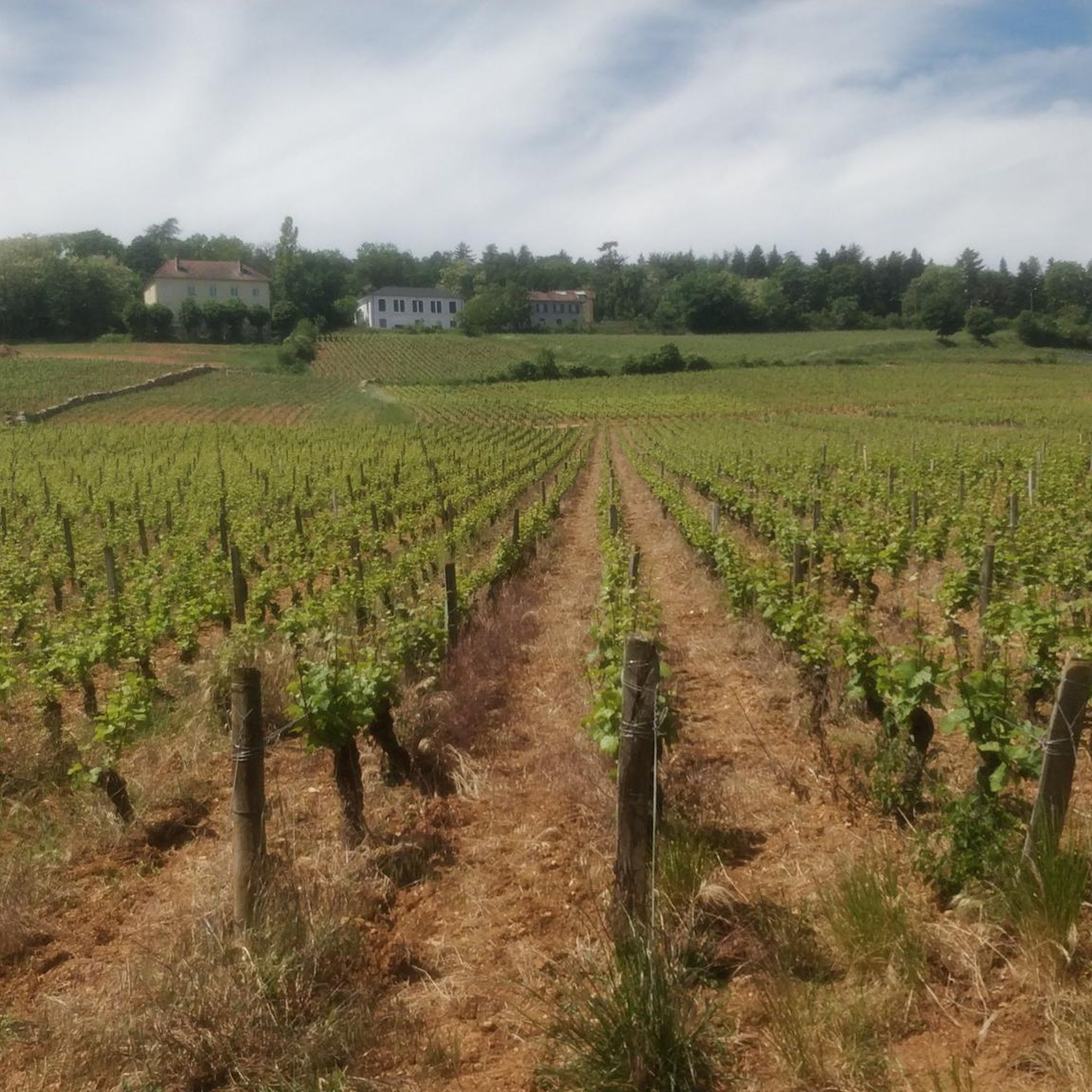
While jogging, you can enjoy the extensive green spaces of the Bois de Chevigny and scenic riverine paths. The region is also characterized by rolling hills and vineyards. For specific points of interest, you might encounter serene spots like Place de Libération or the historic Half-timbered houses in Dijon's Old Town if your route takes you closer to the city center.
Are there any circular running routes available?
Yes, many of the running routes around Chevigny-Saint-Sauveur are designed as loops, offering convenient circular paths. An example is the Burgundy Canal loop from Chevigny-Saint-Sauveur, a longer 19.7 km (12.2 miles) route that allows you to start and finish in the same location.
How many running routes are there in total around Chevigny-Saint-Sauveur?
There are over 50 dedicated running routes around Chevigny-Saint-Sauveur listed on Komoot, offering a wide variety of distances and difficulties for runners to explore.
What do other runners say about the trails in Chevigny-Saint-Sauveur?
The running routes in Chevigny-Saint-Sauveur are highly rated by the Komoot community, with an average score of 4.5 stars from over 70 reviews. Runners often praise the diverse landscapes, from quiet woodlands to scenic riverside paths, and the well-maintained natural areas.
Are there any running routes that are particularly suitable for families?
For families, routes with easier difficulty grades and smoother surfaces are ideal. The Running loop from Chevigny-Saint-Sauveur is an easy option that could be suitable, offering a relatively short distance and flat terrain. Look for routes described as 'easy' for the most family-friendly experiences.
Is public transport available to access the running routes?
Chevigny-Saint-Sauveur is well-integrated with public transport options that can help you reach various starting points for running routes. While specific route access points vary, the commune's urban amenities ensure accessibility to different parts of the area.
Where can I find parking near the running trails?
Parking is generally available in and around Chevigny-Saint-Sauveur, especially near urban centers and designated green spaces. For routes like the Quetigny – Bridge over the Mirande loop from Chevigny-Saint-Sauveur, you can often find parking in nearby residential areas or public lots close to the starting points.
What is the best time of year to go running in Chevigny-Saint-Sauveur?
Chevigny-Saint-Sauveur offers a pleasant environment for running throughout much of the year. The municipality's commitment to maintaining its natural areas ensures a healthy and enjoyable setting. Spring and autumn generally provide mild temperatures and beautiful scenery, while summer mornings and evenings are also popular for avoiding the midday heat.
Are there any longer running routes for experienced runners?
Yes, experienced runners will find more challenging and longer routes. The Burgundy Canal loop from Chevigny-Saint-Sauveur is a difficult 19.7 km (12.2 miles) trail, offering a substantial distance for those looking for a longer endurance run.
Most popular routes around Chevigny-Saint-Sauveur
Most popular attractions around Chevigny-Saint-Sauveur

Get inspired with the komoot mobile app


Explore more
Browse the best Running Trails & Routes in other regions.
