The best road cycling routes around Saint-Nicolas-Aux-Bois
4.6
(17)
948
riders
202
rides
Road cycling routes around Saint-Nicolas-Aux-Bois are situated in the Aisne department of the Hauts-de-France region, offering varied terrain for cyclists. The area features an elevation range from 64 to 193 meters, providing engaging gradients. The broader region is characterized by extensive forests, with 100,000 hectares of woodland, and a network of cycling trails. This landscape provides a mix of natural settings and historical points of interest for road cyclists.
Best road cycling routes around Saint-Nicolas-Aux-Bois
- The most popular road cycling…
Last updated: May 20, 2026
23
riders
Moderate road ride. Good fitness required. Some segments of this route may be unpaved and difficult to ride.
15
riders
46.9km
02:01
360m
360m
Moderate road ride. Good fitness required. Mostly well-paved surfaces and easy to ride.

Sign up for free
4.0
(1)
17
riders
46.1km
02:05
440m
440m
Moderate road ride. Good fitness required. Mostly well-paved surfaces and easy to ride.
18
riders
41.3km
01:47
280m
280m
Easy road ride. Great for any fitness level. Mostly well-paved surfaces and easy to ride.
7
riders
52.1km
02:20
390m
390m
Moderate road ride. Good fitness required. Some segments of this route may be unpaved and difficult to ride.
Get access to more routes and recommendations from other explorers.
Sign up for free
Already have an account?
Our route recommendations are based on thousands of hikes, rides, and runs completed by other people on komoot.
Start today with a free account
Your next adventure awaits.
Login or Signup
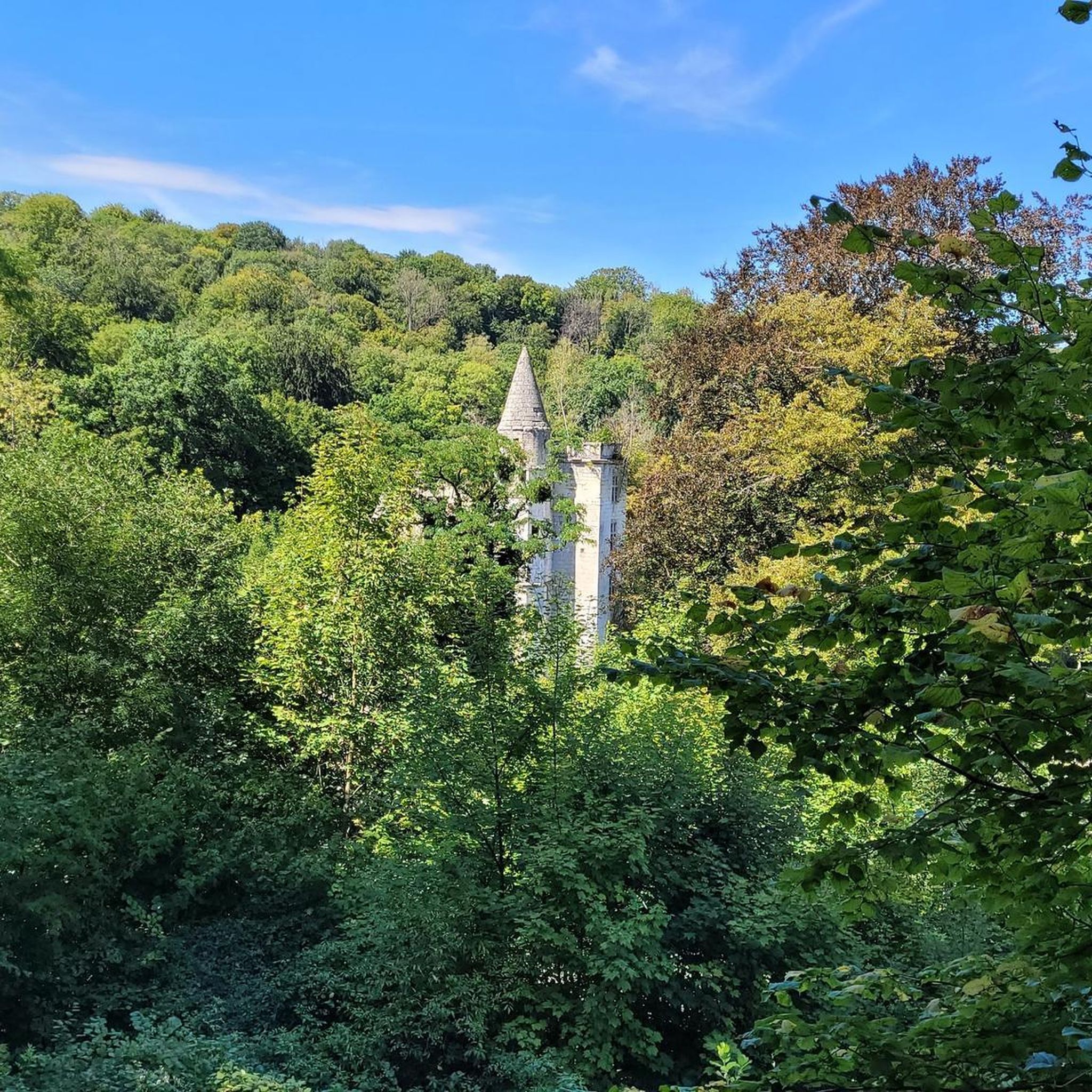
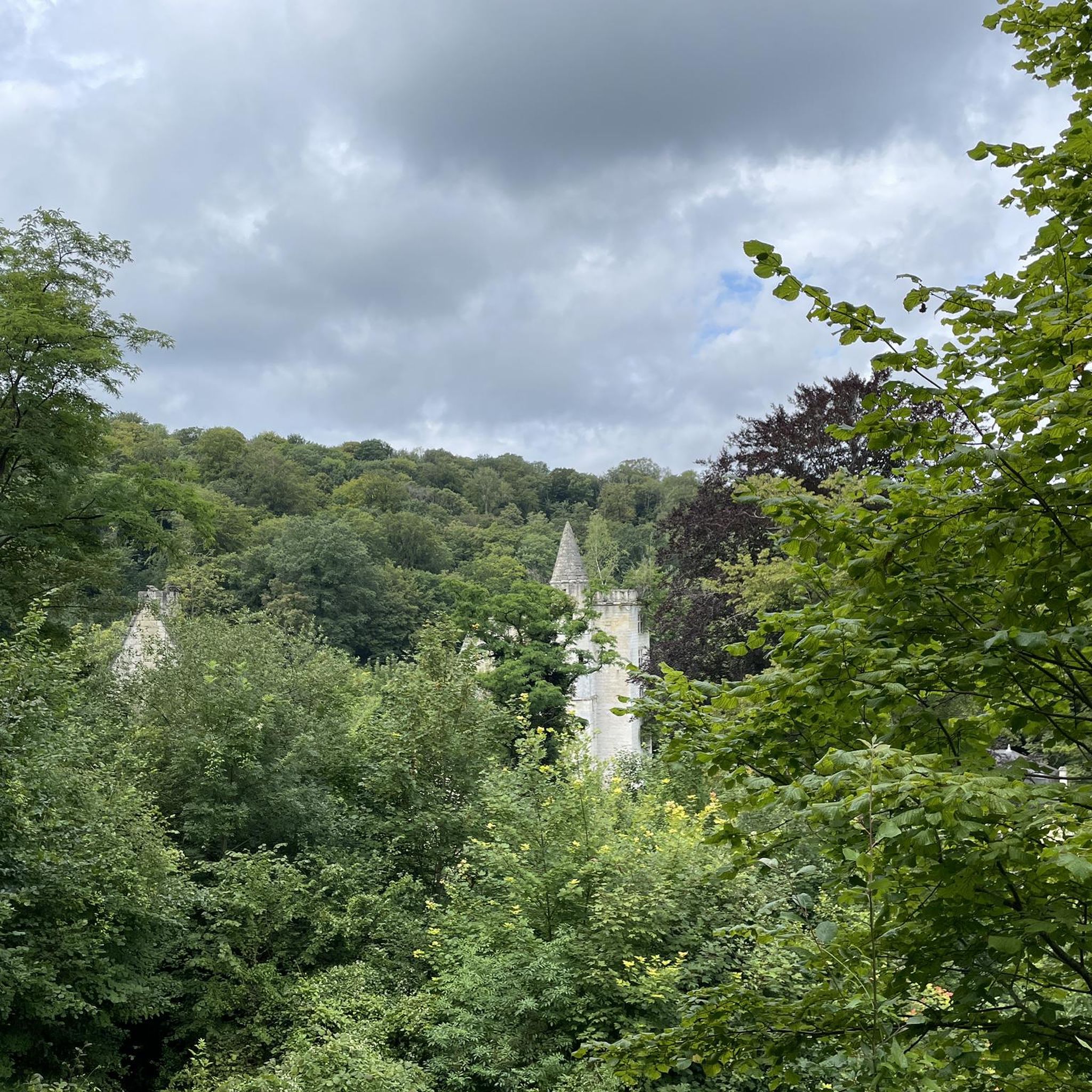
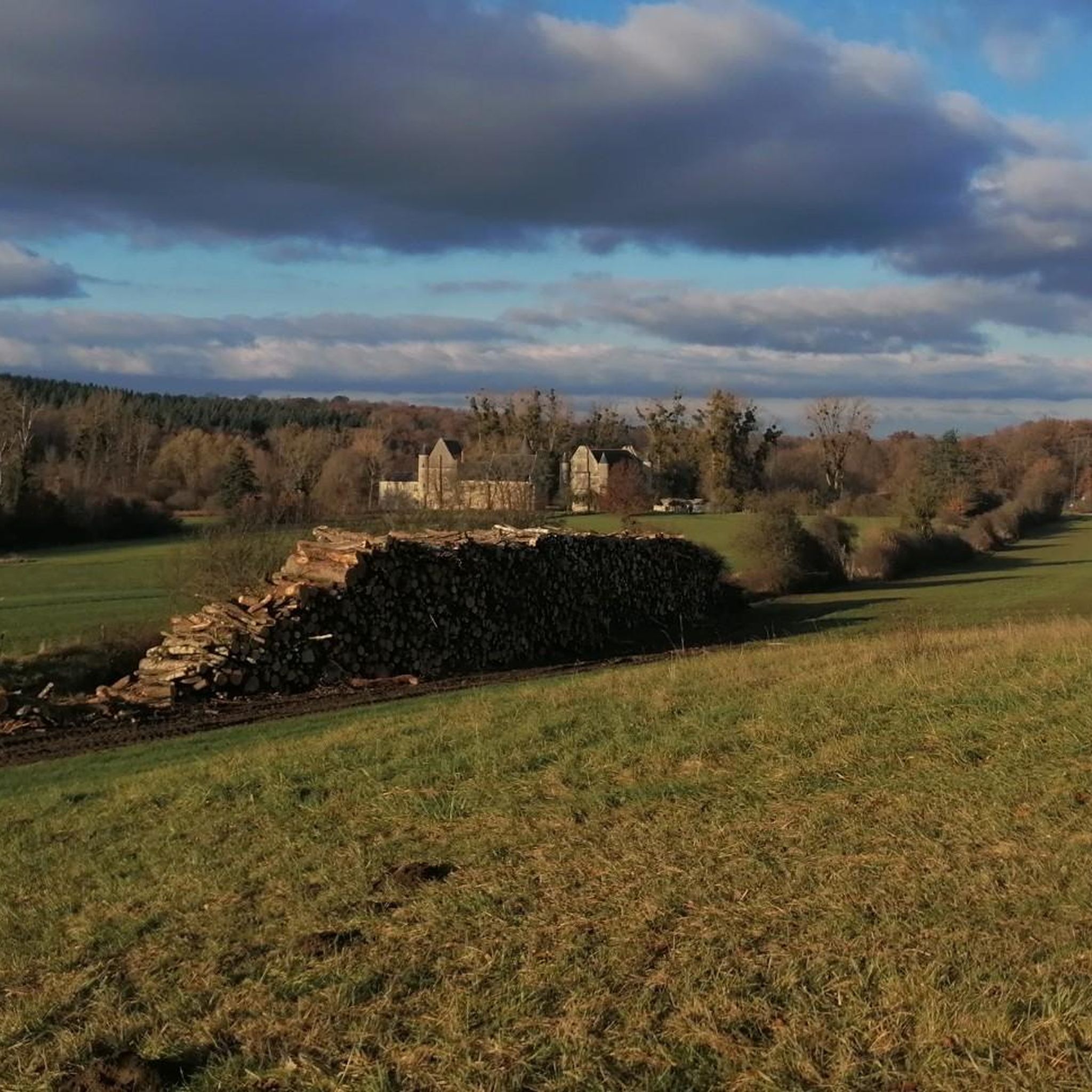

Tips from the Community

The Abbey of Prémontré, nestled west of Laon in the heart of a wooded and hilly environment, was founded in 1120 by Norbert of Xanten. Former mother abbey of the Order of Canons Regular of Prémontré, this historic site retains a peaceful atmosphere, away from the main roads.
0
0

Beautiful church in this small village.
0
0

A beautiful picnic bench on the Canal de la Sambre à l’Oise
0
0


Tergnier where Art Deco is omnipresent. Its most representative examples are Place Carnégie (classified as a historic monument), the Town Hall and the Fargniers church. The media library, a former station buffet, is a site that became historic with the arrival of Victor Hugo in 1870 who had his first meal on French soil there upon his return from exile. The bell tower of the Veltin school, visible from rue de la Famille Sauvage (Quessy-Cité), still indicates the time of the bombing which ravaged the city on the night of April 10 to 11, 1944. Seven tourist signs, located in the city to constitute the Trails of Memory, retrace acts of war or resistance during the Second World War which took place in the territory.
6
0

Well known French glass manufacturing plant.
1
0
Frequently Asked Questions
How many road cycling routes are available around Saint-Nicolas-Aux-Bois?
There are over 200 road cycling routes around Saint-Nicolas-Aux-Bois, offering a wide variety of options for different skill levels and preferences.
What kind of terrain can I expect on road cycling routes in this region?
The terrain around Saint-Nicolas-Aux-Bois features varied elevations, ranging from 64 to 193 meters. You'll encounter rolling hills and some engaging gradients, making for dynamic rides through the local countryside and forested areas.
Are there any easy road cycling routes suitable for beginners?
Yes, Saint-Nicolas-Aux-Bois offers 57 easy road cycling routes. An example is the St Gobian – Tergnier loop from Saint-Gobain, which is 25.6 miles (41.2 km) long with moderate elevation gain, perfect for those looking for a less strenuous ride.
What historical landmarks or points of interest can I see while cycling?
The region is rich in history. You can discover sites like the Ruins of the Abbey of Saint-Nicolas-aux-Bois or the old priory of Le Tortoir. Some routes also pass through areas with historical significance, such as the St Gobian – Saint-Gobain Glassworks loop from Saint-Gobain.
Are there any scenic routes with good viewpoints?
Many routes offer scenic views through forested areas and open landscapes. While specific viewpoints are not always marked, the varied terrain and extensive woodlands of the Hauts-de-France region provide picturesque backdrops for your ride. Keep an eye out for natural features like Étang du Pré Lardot.
What do other road cyclists enjoy most about cycling in Saint-Nicolas-Aux-Bois?
The area is highly rated by the komoot community, with an average score of 4.4 stars from over 20 reviews. Cyclists often praise the mix of forests, varied elevations, and the opportunity to discover historical landmarks along the routes.
Are there any long-distance road cycling routes?
While many routes are moderate in length, you can combine several to create longer distances. For example, the St Gobian – Saint-Gobain Glassworks loop from Saint-Gobain is 29.1 miles (46.9 km), and the Mons-en-Laonnois church – St Gobian loop from Saint-Gobain is 28.5 miles (45.8 km), offering substantial rides.
Are there many circular road cycling routes?
Yes, the majority of the road cycling routes around Saint-Nicolas-Aux-Bois are designed as loops, allowing you to start and finish at the same point. Examples include the St Gobian – Saint-Gobain Glassworks loop from Fourdrain and the Under the Railway – Saint-Gobain Glassworks loop from Saint-Gobain.
What is the best time of year for road cycling in Saint-Nicolas-Aux-Bois?
The Hauts-de-France region generally offers pleasant cycling conditions from spring through autumn. Summer provides longer daylight hours, while spring and autumn offer milder temperatures and beautiful scenery, especially with the changing foliage in the extensive forests.
Are there any specific attractions or natural features to look out for?
Beyond historical sites, you might encounter natural features like the Hermitage Rock Caves or the serene Étang du Pré Lardot. The region's 100,000 hectares of forests are a dominant natural feature, providing shaded routes and a sense of immersion in nature.
Are there routes suitable for advanced road cyclists?
While the majority of routes are moderate, the varied elevation and potential for combining routes can create more challenging rides. There are 22 difficult routes available for advanced cyclists seeking more significant climbs and longer distances.
Is there public transport access to the cycling routes?
While specific public transport links directly to route starting points in Saint-Nicolas-Aux-Bois are not detailed, the broader Hauts-de-France region has a public transport network. It's advisable to check local bus or train services for connections to nearby towns like Saint-Gobain or Fourdrain, where many routes begin.
Most popular routes around Saint-Nicolas-Aux-Bois
Most popular attractions around Saint-Nicolas-Aux-Bois

Get inspired with the komoot mobile app


Explore more
Browse the best Road cycling routes in other regions.
