The best walks and hikes around Bell
4.6
(750)
2,712
hikers
48
hikes
Hiking trails around Bell are situated in a region characterized by volcanic landscapes, including the Laacher See crater lake, and dense woodlands. The terrain features rolling hills and varied elevations, offering paths through forests and open areas. This area provides a network of trails suitable for exploring the natural environment.
Best hiking trails around Bell
- The most popular hiking route is Valerius Hut – View of Laacher See loop from Bell, a 4.1 miles (6.6 km) trail that takes…
Last updated: October 4, 2026
4.8
(83)
346
hikers
28.5km
08:21
770m
770m
Hard hike. Very good fitness required. Easily-accessible paths. Suitable for all skill levels.
4.5
(31)
109
hikers
9.15km
02:34
190m
190m
Moderate hike. Good fitness required. Easily-accessible paths. Suitable for all skill levels.

5.0
(6)
31
hikers
12.7km
03:46
370m
370m
Moderate hike. Good fitness required. Easily-accessible paths. Suitable for all skill levels.
4.6
(9)
23
hikers
11.0km
03:07
240m
240m
Moderate hike. Good fitness required. Easily-accessible paths. Suitable for all skill levels.
4.7
(9)
38
hikers
Moderate hike. Good fitness required. Easily-accessible paths. Suitable for all skill levels.
Get access to more routes and recommendations from other explorers.
Already have an account?
Our route recommendations are based on thousands of hikes, rides, and runs completed by other people on komoot.
Start today with a free account
Your next adventure awaits.

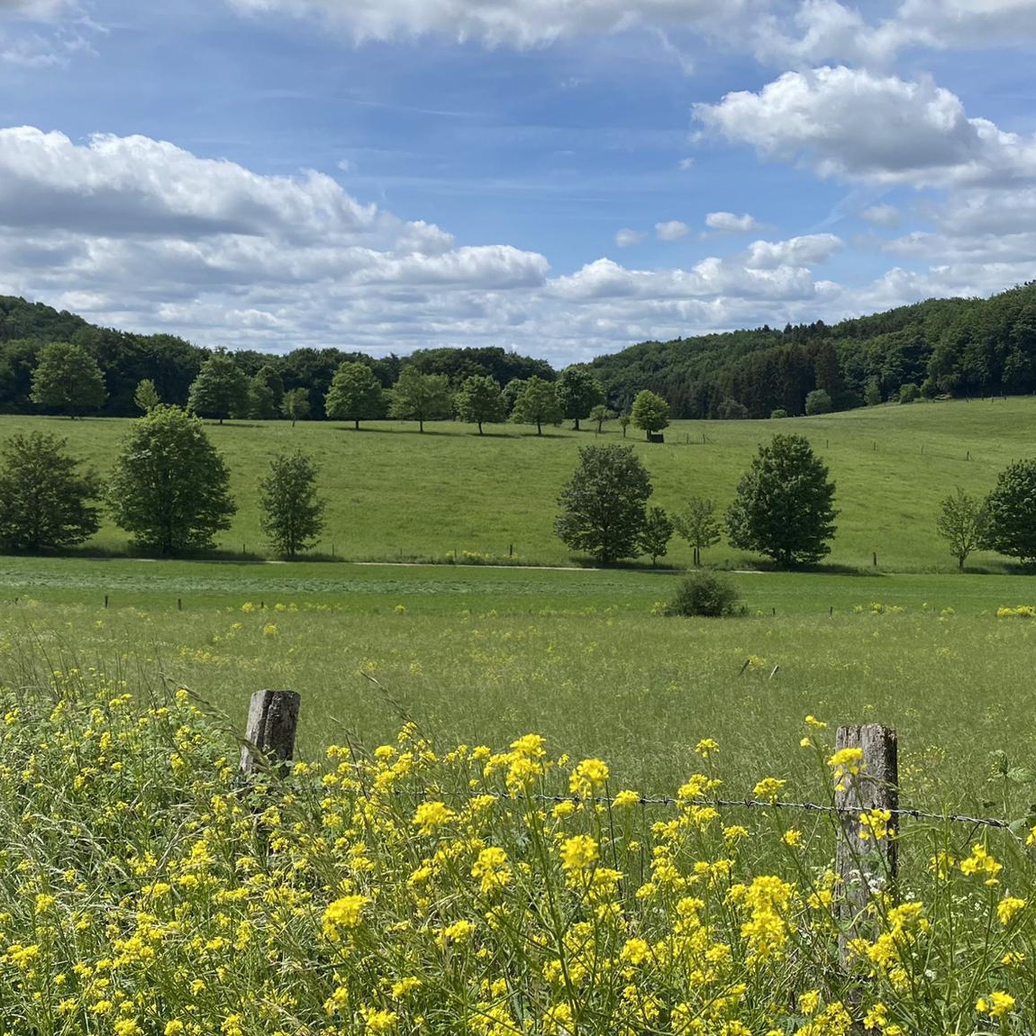
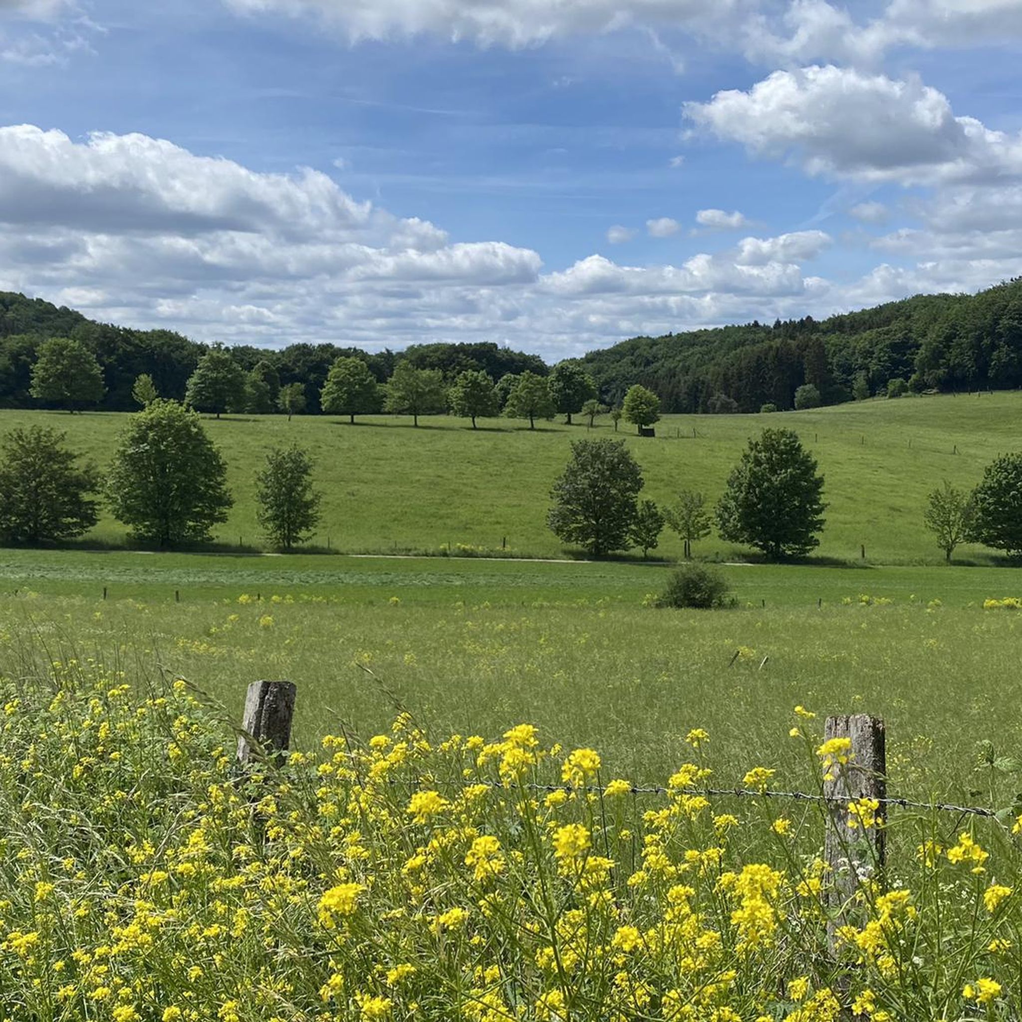
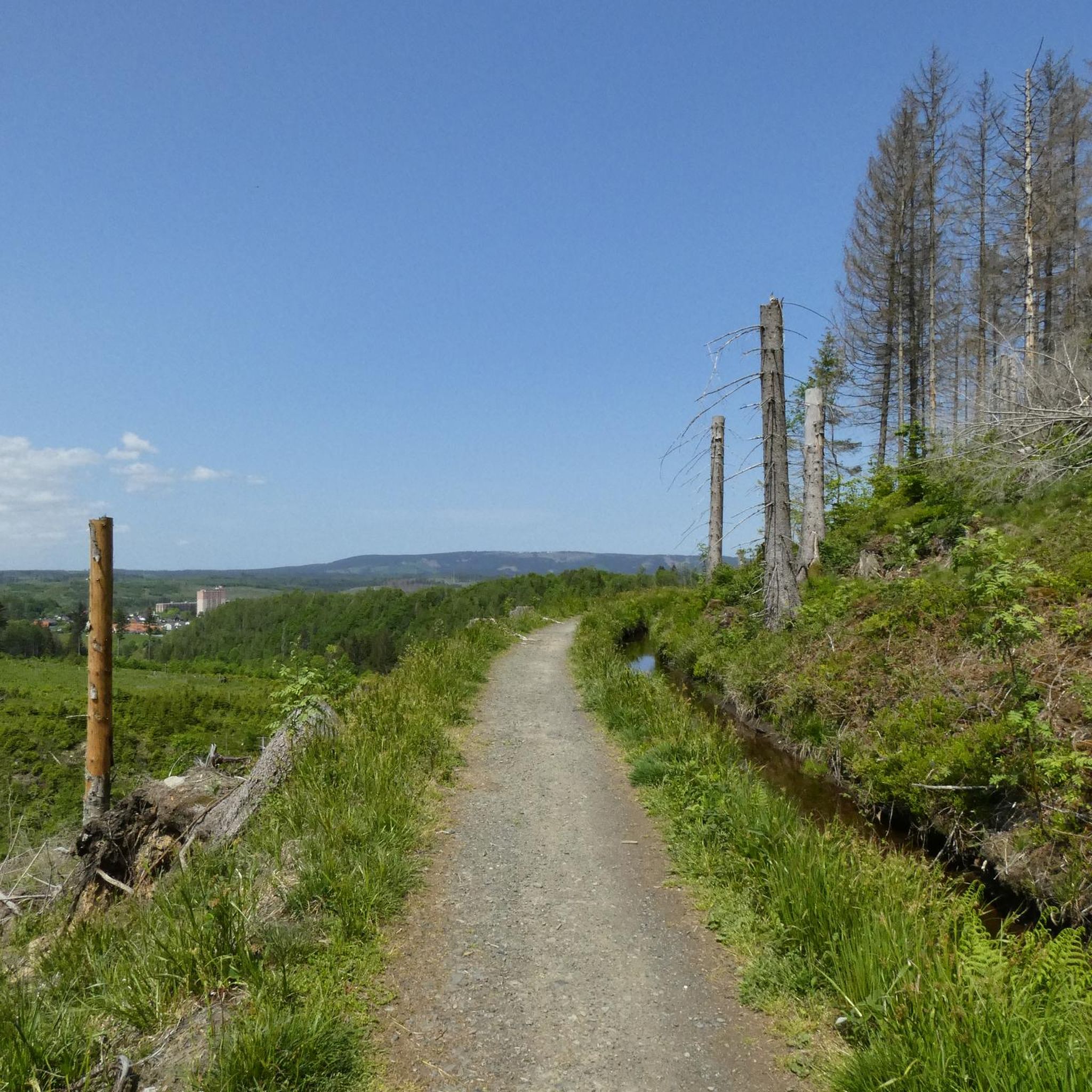

Tips from the Community

The "Blick vom Hochstein" is a well-known viewpoint in the heart of the Eifel. From the distinctive volcanic cone (563 m above sea level) near Ettringen, you can enjoy a fantastic panorama of the picturesque village of Ettringen, the surrounding highlands, and the Laacher See.
0
0
The Genovevahöhle near Bell (Osteifel) is an impressive natural rock formation, perfect for a short walk or a longer hike. It is located on the Hochstein mountain and is surrounded by fantastic viewpoints.
0
0
The cemetery on the edge of the forest was established in the first half of the 20th century and commemorates deceased monks as well as people who were connected to the monastery. With the new burial options, this place will be open to more people in the future.
1
0

A magnificent display of colors in autumn… a journey through the full color palette
0
0

NOTE: The observation tower was closed at the end of October 2025. It is unclear when the tower will reopen.
1
0

The viewing point is above the Genoveva Cave.
2
0

Wonderful view of the forest lake Rieden and the Eifeler Seehütte
1
0
Frequently Asked Questions
What kind of landscape can I expect when hiking around Bell?
Hiking around Bell offers a diverse landscape characterized by volcanic features, including the prominent Laacher See crater lake, and extensive, dense woodlands. You'll find paths winding through rolling hills and varied elevations, providing a mix of forest trails and open areas to explore the natural environment.
Are there any easy hiking trails suitable for beginners or families in Bell?
Yes, Bell offers many easy trails. For instance, the Valerius Hut – View of Laacher See loop from Bell is an easy 4.1-mile route with views of the Laacher See. Another excellent option is the Lake Laach – View of Maria Laach Abbey loop from Bell, an easy 2.8-mile path offering views of Maria Laach Abbey and the lake. In total, there are over 30 easy routes available.
What are some notable viewpoints or landmarks to see on hikes around Bell?
The region is rich with viewpoints and natural attractions. You can enjoy panoramic views from the Gänsehalsturm Observation Tower or the Weiselstein Observation Tower. Other highlights include the View of Krufter Waldsee from Teufelskanzel and the Panoramic view from Ettringer Bellerberg. Don't miss the Volkesfeld Healing Spring for a natural monument.
Are there any circular hiking routes available in Bell?
Yes, many of the trails around Bell are designed as circular routes, allowing you to start and end in the same location. Examples include the Valerius Hut – View of Laacher See loop from Bell and the Rieden Forest Lake – Riedener Waldsee loop from Bell, which takes you through forests to the Riedener Waldsee.
What do other hikers say about the trails in Bell?
The hiking routes in Bell are highly regarded by the komoot community, holding an average rating of 4.6 stars from over 600 reviews. More than 2,600 hikers have used komoot to explore the varied terrain, often praising the scenic views of the crater lakes and the peaceful forest paths.
What is the best time of year to go hiking in Bell?
While Bell offers hiking opportunities year-round, the spring and autumn months are particularly pleasant. Spring brings blooming flora and mild temperatures, while autumn showcases vibrant fall foliage across the woodlands. Summer is also popular, but be prepared for warmer weather. Winter hiking is possible, but conditions can vary, so check local forecasts for snow or ice.
Are there any huts or shelters along the hiking trails in Bell?
Yes, you'll find several huts and shelters that can provide a resting spot or refuge. Notable ones include the Wabelsberg Juniper Hut, the Panorama Shelter Hohenleimbach, and the Gänsehals Shelter with a view of Lake Laach.
How many hiking trails are available around Bell?
There are over 45 hiking trails available around Bell, catering to various skill levels. This includes more than 30 easy routes and 14 moderate options, ensuring there's a suitable path for almost every hiker.
What should I wear for hiking in Bell?
Given the varied terrain and potential for changing weather, it's best to wear layers. Sturdy hiking boots are recommended for stability on uneven paths, especially in forested and volcanic areas. Depending on the season, consider waterproof outerwear, sun protection, and a hat. Always check the weather forecast before you head out.
Are there any longer, more challenging hikes in the Bell area?
For those seeking a more challenging experience, Bell offers several moderate routes. The Erlenbrunnen Mineral Spring – Genoveva Cave loop from Bell is a moderate 7.8-mile trail, while the Rhein-Ahr-Eifel Forest Trail – Gänsehalsturm Observation Tower loop from Bell covers 5.7 miles and includes ascents to the observation tower.
Can I reach hiking trails in Bell using public transport?
While specific public transport connections to every trailhead can vary, Bell is generally accessible. It's advisable to check local bus schedules or regional train services that connect to Bell or nearby villages. From there, some trailheads might be within walking distance or require a short taxi ride. Planning your route in advance with public transport information is recommended.
Most popular attractions around Bell

Get inspired with the komoot mobile app


Explore more
Browse the best Hikes in other regions.
