The best walks and hikes around Rambervillers
4.4
(30)
144
hikers
39
hikes
Hiking around Rambervillers offers diverse landscapes at the foothills of the Vosges mountains, characterized by a blend of wooded hills and open countryside. The region's terrain is shaped by the Mortagne river and its tributaries, providing varied hiking experiences. It lies at the edge of the Vosges sandstone region, contributing to unique geological formations and extensive forests like the Forêt Communale de Rambervillers. Hikers can explore different forest types and discover distinctive rock formations.
Best hiking trails around Rambervillers
- The…
Last updated: July 4, 2026
4.0
(1)
7
hikers
14.4km
03:51
170m
170m
Moderate hike. Good fitness required. Easily-accessible paths. Suitable for all skill levels.
3
hikers
8.25km
02:10
60m
60m
Moderate hike. Good fitness required. Easily-accessible paths. Suitable for all skill levels.

Sign up for free
5.0
(1)
7
hikers
5.42km
01:26
50m
50m
Easy hike. Great for any fitness level. Easily-accessible paths. Suitable for all skill levels.
6
hikers
12.9km
03:20
80m
80m
Moderate hike. Good fitness required. Easily-accessible paths. Suitable for all skill levels.
4
hikers
3.75km
00:57
10m
10m
Easy hike. Great for any fitness level. Easily-accessible paths. Suitable for all skill levels.
Get access to more routes and recommendations from other explorers.
Sign up for free
Already have an account?
Our route recommendations are based on thousands of hikes, rides, and runs completed by other people on komoot.
Start today with a free account
Your next adventure awaits.
Login or Signup



Tips from the Community

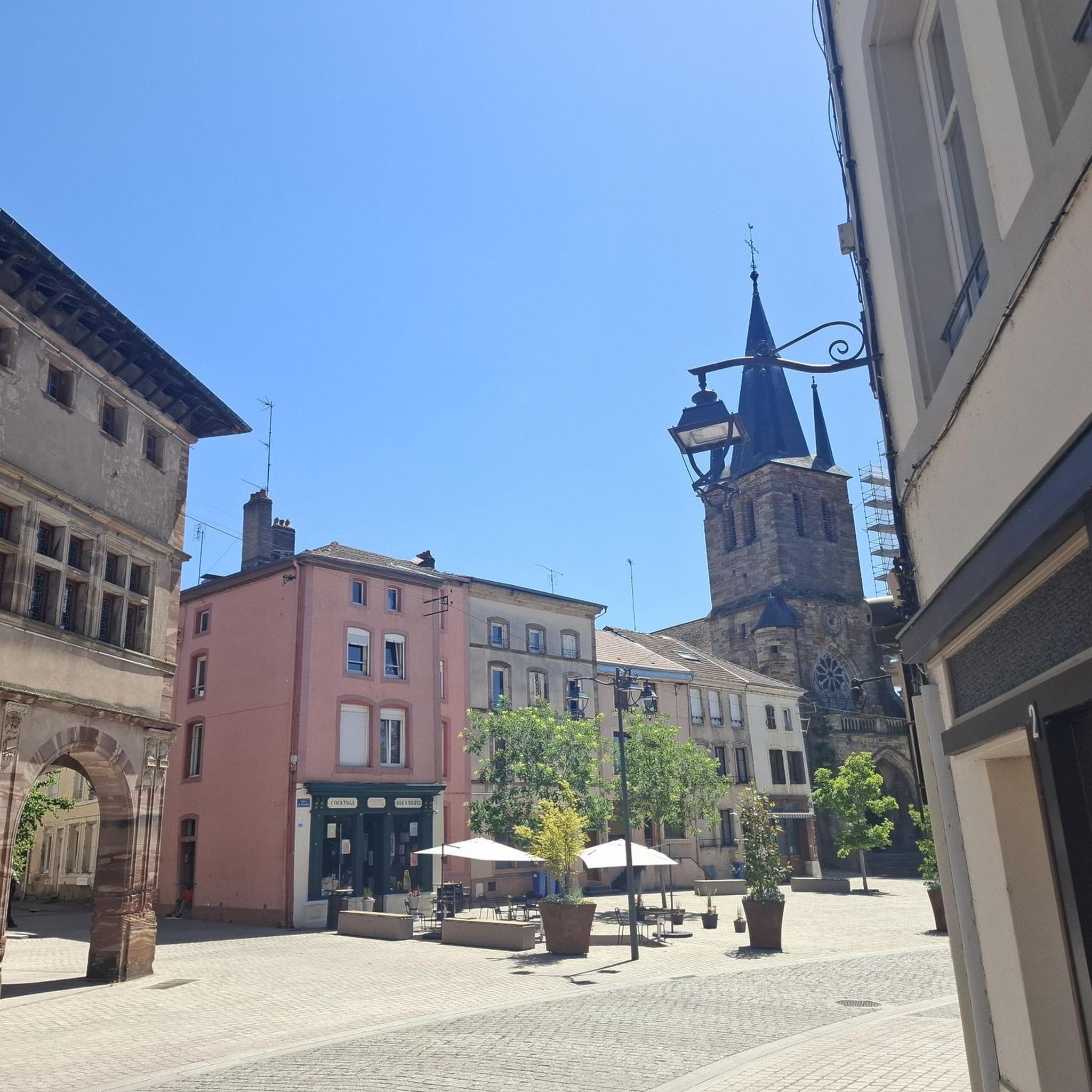
The church was built in the 16th century.
0
0
Frequently Asked Questions
How many hiking trails are there in Rambervillers?
Rambervillers offers a good selection of routes, with over 30 hiking trails available. These range from easy strolls to more moderate treks, ensuring options for various fitness levels.
Are there easy hiking trails suitable for beginners in Rambervillers?
Yes, Rambervillers has plenty of easy hiking trails. There are 14 routes specifically rated as easy, perfect for beginners or those looking for a relaxed walk. An example is the Haut des Mines loop from Vomécourt, which is 3.4 miles (5.4 km) long and takes about 1 hour 25 minutes.
Can I find circular hiking routes around Rambervillers?
Many of the trails in Rambervillers are circular, offering convenient starting and ending points. For instance, the popular Saint Libaire Church – Rambervillers Town Hall loop from Rambervillers is a 4.0-mile (6.4 km) circular route connecting key town landmarks. Another option is the Saint Libaire Church loop from Rambervillers.
What kind of natural landscapes can I expect to see on hikes in Rambervillers?
Hiking in Rambervillers offers a diverse landscape at the foothills of the Vosges mountains. You'll encounter a blend of wooded hills, extensive forests like the Forêt Communale de Rambervillers, and open countryside. The Mortagne river and its tributaries shape the terrain, providing picturesque riverside paths. The region also features unique geological formations from the Vosges sandstone area, including distinctive rock formations.
Are there any interesting natural landmarks or viewpoints to discover while hiking?
Absolutely. The region is known for its distinctive rock formations. You can explore the 'Roches de Babette' in Sainte-Barbe or the 'Roche des Fées' (Fairies' Rock) near Housseras and Jeanménil, which offers interesting natural landmarks and viewpoints. The 'Grotte de l'ours' (Bear Cave) is another peaceful natural spot to discover, which you can find as a highlight here: Bear cave.
Are there any historical sites or cultural attractions accessible via hiking trails?
Yes, several routes incorporate historical elements. You can find trails leading to the ancient Ramparts of Housseras or past the military necropolis of Col de la Chipotte. The 'Sentier des Lavoirs de Romont' is a cultural trail showcasing historic washhouses. Additionally, the Abbaye Notre-Dame d'Autrey, a classified historical monument with a remarkable garden, can be integrated into hiking itineraries.
Are there family-friendly hiking options in the Rambervillers area?
Many of the easy and moderate trails in Rambervillers are suitable for families. The varied terrain, with its mix of forests and open spaces, provides engaging walks for children. Shorter circular routes, like the Rambervillers Town Hall – Saint Libaire Church loop from Rambervillers, are often a good choice for families.
What do other hikers say about the trails in Rambervillers?
The hiking routes in Rambervillers are highly rated by the komoot community, with an average score of 4.7 stars from over 25 reviews. Hikers often praise the quiet woodlands, the diverse scenery, and the well-maintained paths that make exploring the region enjoyable.
Is public transport available to reach hiking trailheads in Rambervillers?
While Rambervillers itself has some local transport, many of the specific trailheads in the surrounding countryside are best accessed by car. It's advisable to check local bus schedules for connections to smaller villages if you plan to rely on public transport for specific starting points.
Where can I find parking for hiking trails in Rambervillers?
Parking is generally available in Rambervillers town center and in the villages where many trails begin. For routes starting in more rural areas, look for designated parking spots near trailheads or consider parking safely on the roadside where permitted, ensuring you don't obstruct local access.
Are there any botanical gardens or unique natural spots to visit near the trails?
Yes, the Abbaye Notre-Dame d'Autrey features a 'remarkable garden' with over 3,500 plant varieties. Although not directly in Rambervillers, the Gondremer Botanical Garden, located between Autrey and Housseras, is a significant natural attraction with over 4,000 plant species and a magnificent pond, which can be integrated into longer hiking itineraries.
What is the best time of year to go hiking in Rambervillers?
Rambervillers offers beautiful hiking experiences throughout the year. Spring brings lush greenery and blooming wildflowers, while autumn showcases vibrant fall foliage in the extensive forests. Summer is ideal for shaded walks, and even winter can be charming with crisp air and potential snow, though some paths might be less accessible.
Are there any trails that feature the Mortagne River?
Yes, the Mortagne river and its affluents are a defining feature of the landscape around Rambervillers. Many trails follow picturesque riverside paths, offering tranquil views and contributing to the region's lush greenery. The 'Circuits des Croix de Mortagne' is a specific hike that allows discovery of the Mortagne area, passing through fields and forests alongside the river.
Most popular routes around Rambervillers
Most popular attractions around Rambervillers

Get inspired with the komoot mobile app


Explore more
Browse the best Hikes in other regions.
