The best walks and hikes around Nouzonville
4.4
(3464)
16,974
hikers
13
hikes
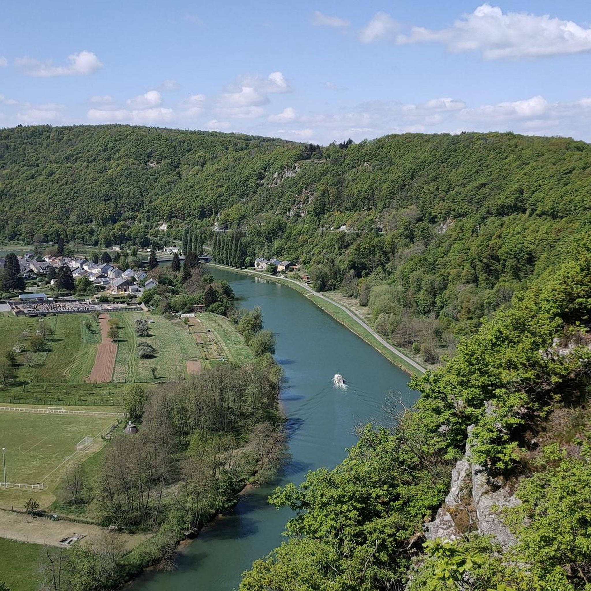
Hiking around Nouzonville offers diverse and picturesque landscapes within the Ardennes Regional Natural Park, characterized by hilly, forested areas, green valleys, and high plateaus. The Meuse River winds through the region, creating dramatic scenery with wooded cliffs and providing opportunities for riverside walks. This varied terrain, part of the Ardennes Massif, includes dense forests and notable rock formations, catering to a range of hiking experiences.
Best hiking trails around Nouzonville
- The most popular hiking route is Viewpoint Over Bogny-sur-Meuse –…
Last updated: June 25, 2026
4.1
(15)
65
hikers
7.05km
01:51
60m
60m
Easy hike. Great for any fitness level. Easily-accessible paths. Suitable for all skill levels.
4.0
(4)
17
hikers
13.5km
03:54
300m
300m
Moderate hike. Good fitness required. Mostly accessible paths. Sure-footedness required.

Sign up for free
4.0
(2)
11
hikers
7.88km
02:23
240m
240m
Moderate hike. Good fitness required. Mostly accessible paths. Sure-footedness required.
4.7
(7)
15
hikers
15.3km
03:57
80m
80m
Moderate hike. Good fitness required. Easily-accessible paths. Suitable for all skill levels.
4.5
(4)
12
hikers
15.7km
04:15
200m
200m
Moderate hike. Good fitness required. Easily-accessible paths. Suitable for all skill levels.
Get access to more routes and recommendations from other explorers.
Sign up for free
Already have an account?
Our route recommendations are based on thousands of hikes, rides, and runs completed by other people on komoot.
Start today with a free account
Your next adventure awaits.
Login or Signup
Tips from the Community


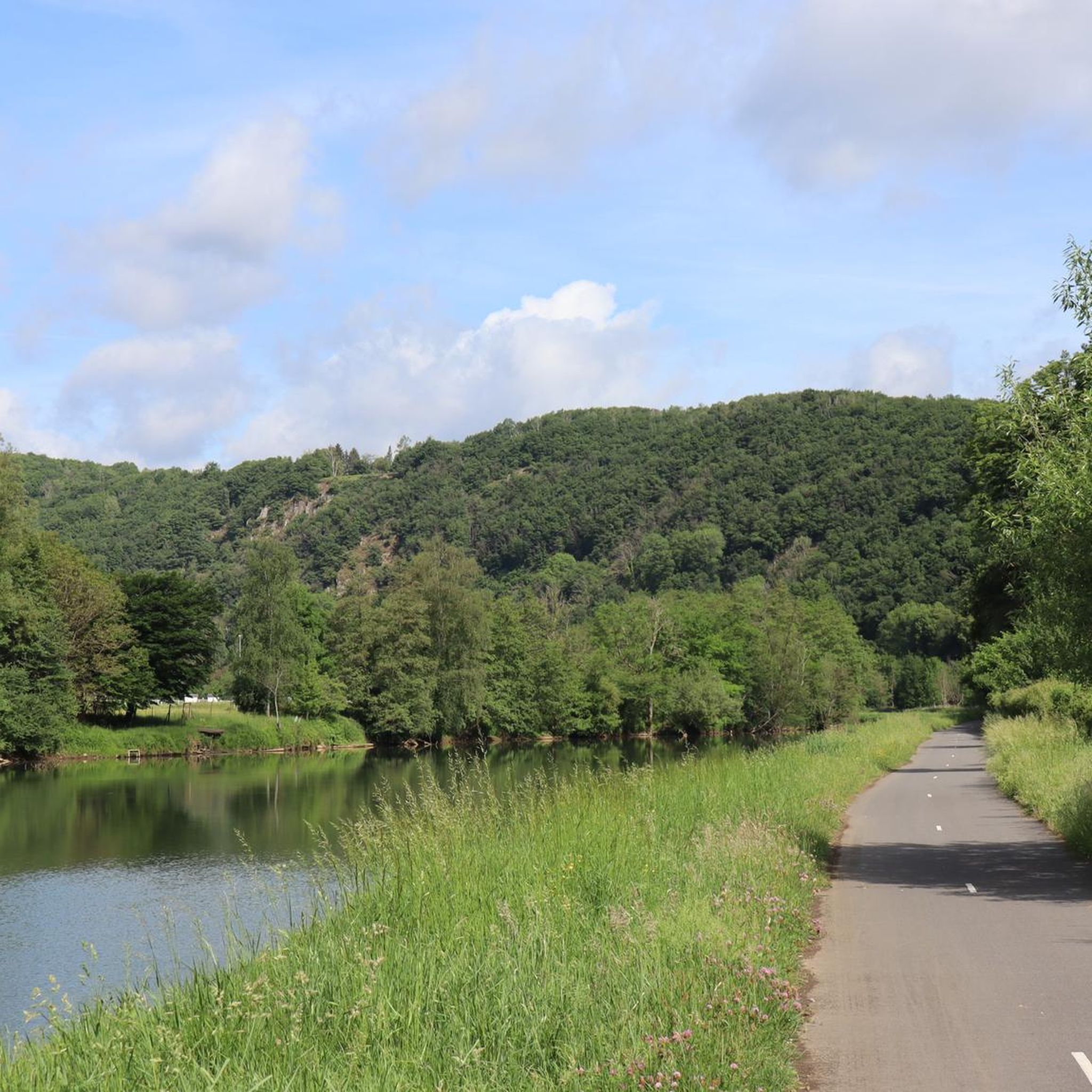
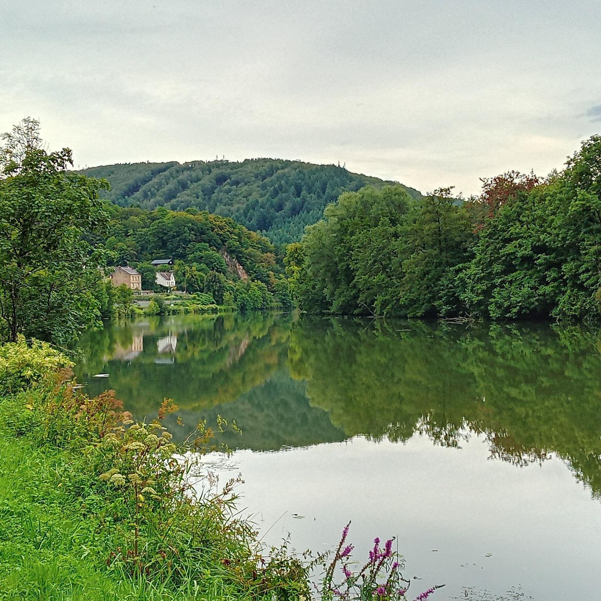
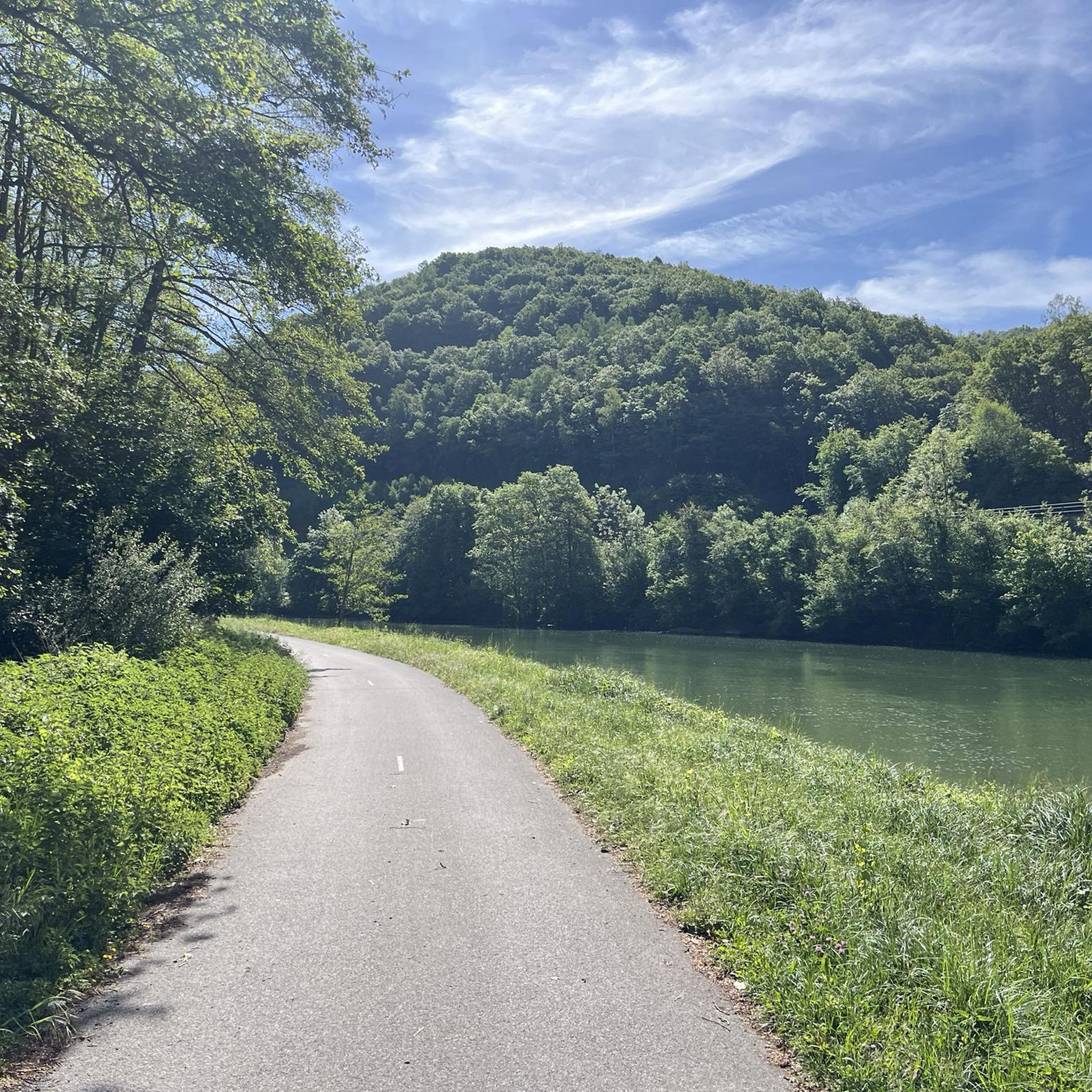
Ardennes town on the banks of the Meuse
1
0

Discover the cross-border Ardennes, through its slate mines, the stone that connects the 3 countries. By following this 440-kilometer road, prepare to descend underground in search of this precious blue stone. Go through the different stages and discover life in the past (and today!) in the mines. Six welcome you to each tell their story about the slate past in the Ardennes.
2
0
Frequently Asked Questions
How many hiking trails are there in Nouzonville?
Nouzonville and its surrounding area offer a vast network of hiking trails, with over 680 routes available for exploration. These trails cater to various skill levels, from easy riverside strolls to more challenging ascents through forested hills.
What kind of terrain can I expect on hikes around Nouzonville?
The terrain around Nouzonville is incredibly diverse, characterized by a mosaic of preserved landscapes. You'll find hilly, forested areas, green valleys, and high plateaus. The Meuse River winds through deep valleys, creating dramatic scenery with wooded cliffs. Trails can range from gentle river walks along developed riverbanks to more strenuous climbs through dense forests like the Bois de Neufmanil.
Are there any easy or family-friendly hiking options in Nouzonville?
Yes, there are many easily accessible paths suitable for families and beginners. For instance, the Slate scroll loop from Neufmanil is an easy 7.0 km route. The region offers 271 easy routes, many of which follow the Meuse River, providing pleasant, less strenuous walks.
What natural features or landmarks can I see while hiking in Nouzonville?
The region is rich in natural beauty and interesting landmarks. You can explore the dramatic bends of the Meuse River, dense forests, and notable rock formations. Highlights include the striking Roche Bayart, linked to a medieval legend, and the Seven O'Clock Rock, which offers beautiful panoramic views over the Meuse Valley. You might also encounter small streams like Naidimont Creek in the Bois de Neufmanil.
Are there any circular hiking routes available?
Yes, many of the trails around Nouzonville are designed as circular loops, allowing you to start and end at the same point. Examples include the Slate scroll loop from Nouzonville, which is an easy 7.0 km route, and the more moderate Site of the Three Crosses loop from Neufmanil, covering 12.2 km through forested hills.
What do other hikers enjoy most about hiking in Nouzonville?
The area is highly rated by the komoot community, with an average score of 4.4 stars from over 3100 reviews. Hikers often praise the diverse and picturesque landscapes, the serene atmosphere of the woodlands, and the breathtaking panoramic views over the Meuse Valley from various viewpoints. The well-maintained network of trails also receives positive feedback.
Are dogs allowed on the hiking trails in Nouzonville?
While specific regulations can vary by trail, generally, the Ardennes Regional Natural Park is welcoming to dogs, especially on leash. Many trails through the forests and along the Meuse River are suitable for walks with your canine companion. Always ensure your dog is under control and respect local signage regarding pets.
Are there any viewpoints with scenic panoramas?
Absolutely. The hilly terrain and river valleys provide numerous opportunities for stunning views. The Viewpoint Over Bogny-sur-Meuse – La Roche Murée loop from Nouzonville is specifically known for offering extensive views over the Meuse Valley. Other spots like the Seven O'Clock Rock and Roche Bayart also provide magnificent vistas of the river bends and surrounding mountains.
Is there parking available at trailheads?
Yes, many popular trailheads and starting points for hikes around Nouzonville offer designated parking areas. Given the region's focus on eco-tourism and accessibility for outdoor activities, efforts are made to provide convenient access for hikers arriving by car. It's advisable to check specific route details for parking information.
Can I reach hiking trails using public transport?
Nouzonville is situated in a region that promotes accessible tourism. While specific public transport links to every trailhead might vary, the town itself is generally accessible. The Trans-Ardennes Greenway, a popular cycling and walking path along the Meuse, can be accessed from various points, and local bus services may connect to villages near trail starting points. For detailed public transport information, it's best to consult local transport schedules.
What is the best time of year to go hiking in Nouzonville?
Nouzonville offers beautiful hiking experiences throughout the year. Spring brings vibrant greenery and blooming wildflowers, while summer is ideal for long days exploring the forests and riverbanks. Autumn transforms the landscape with stunning fall colors, making it a particularly picturesque time for hiking. Even winter offers unique charm, with opportunities for serene walks through snow-dusted scenery, though some trails might be more challenging.
Are there any long-distance trails or multi-day hiking opportunities?
While many routes are day hikes, the extensive network of trails within the Ardennes Regional Natural Park, which boasts over 1,200 km of footpaths, allows for longer excursions. The Trans-Ardennes Greenway, though primarily for cycling, also offers long-distance walking opportunities along the Meuse. For multi-day adventures, you can link various trails or explore the broader Meuse Valley River Park, which spans 40 kilometers along the border.
Most popular routes around Nouzonville
Most popular attractions around Nouzonville

Get inspired with the komoot mobile app


Explore more
Browse the best Hikes in other regions.
