The best running trails around Rancennes
4.0
(110)
5,342
runners
302
runs
Jogging routes around Rancennes are set within the diverse landscape of the Ardennes region, characterized by dense forests, rolling hills, and the prominent Meuse River. The area features varied terrain, including dry grasslands, steep cliffs, and river valleys, providing a range of environments for runners. This natural setting, including the Pointe de Givet Nature Reserve, offers both challenging inclines and more accessible riverside paths. The region's geological and biological heritage ensures a dynamic backdrop for outdoor activity.
Best jogging routes…
Last updated: October 13, 2026
14
runners
4.23km
00:32
100m
100m
Hard run. Good fitness required. Sure-footedness, sturdy shoes and alpine experience required.
114
runners
Hard run. Very good fitness required. Sure-footedness, sturdy shoes and alpine experience required.

61
runners
3.34km
00:21
10m
10m
Easy run. Great for any fitness level. Mostly paved surfaces. Suitable for all skill levels.
4.7
(3)
42
runners
9.27km
00:58
70m
70m
Moderate run. Good fitness required. Mostly paved surfaces. Suitable for all skill levels.
40
runners
13.4km
01:26
110m
110m
Moderate run. Good fitness required. Mostly paved surfaces. Suitable for all skill levels.
Get access to more routes and recommendations from other explorers.
Already have an account?
Our route recommendations are based on thousands of hikes, rides, and runs completed by other people on komoot.
Start today with a free account
Your next adventure awaits.

Tips from the Community

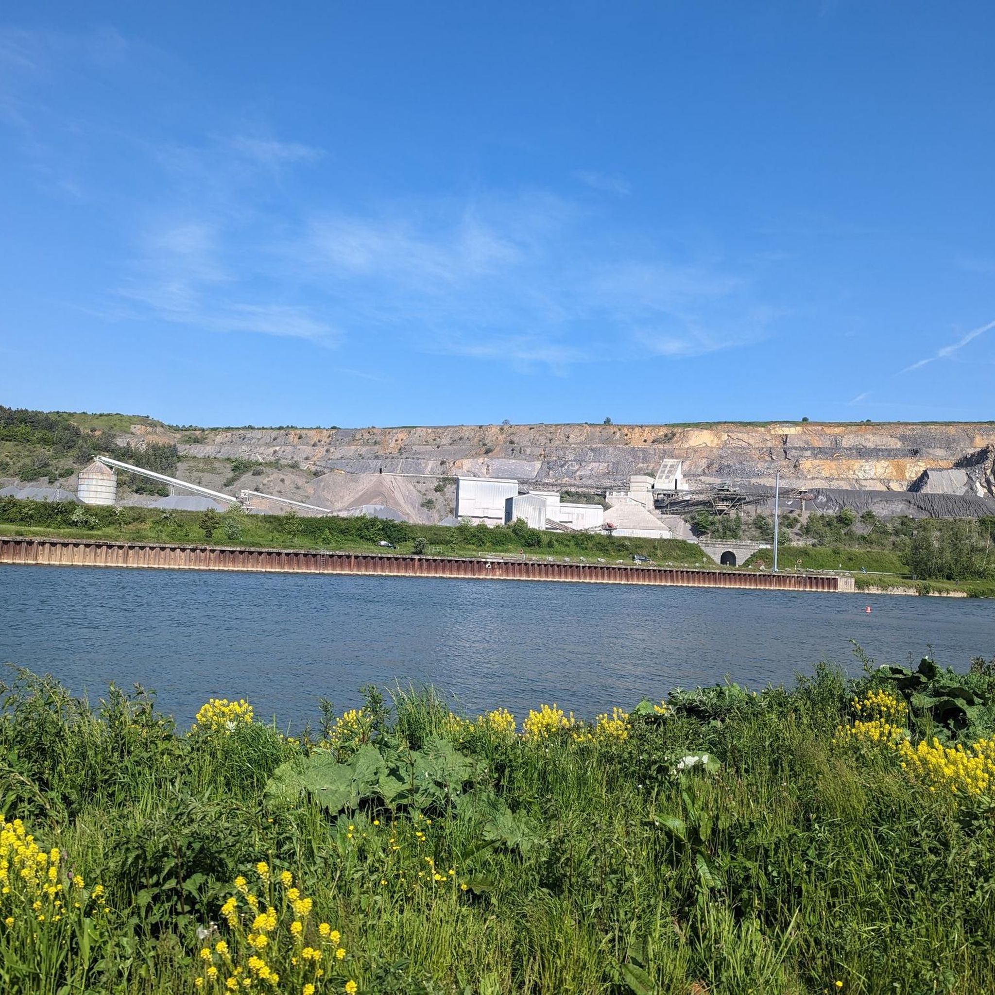
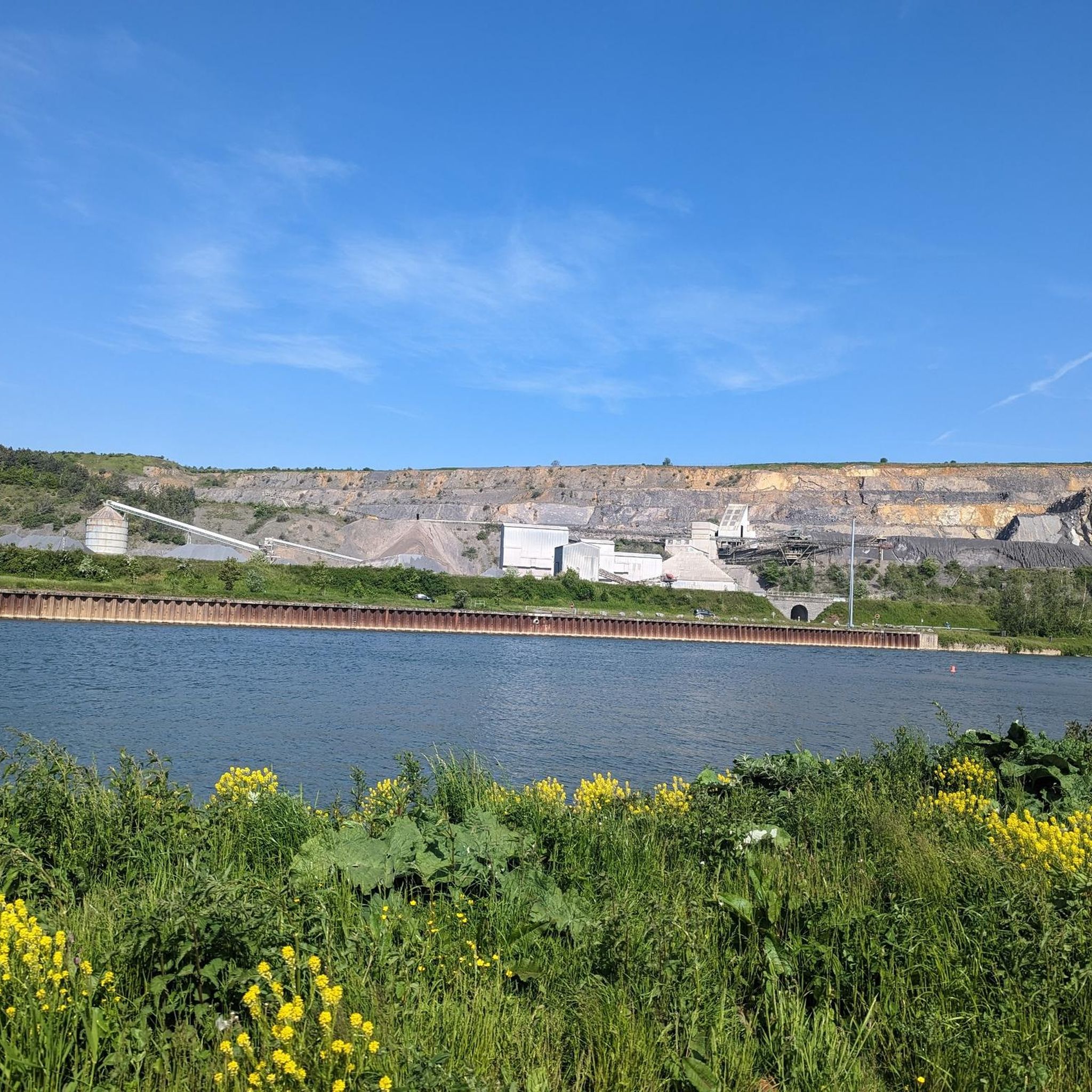
Very nice and smooth tarmac, you could ride it on a skateboard or inline rollers.
0
0

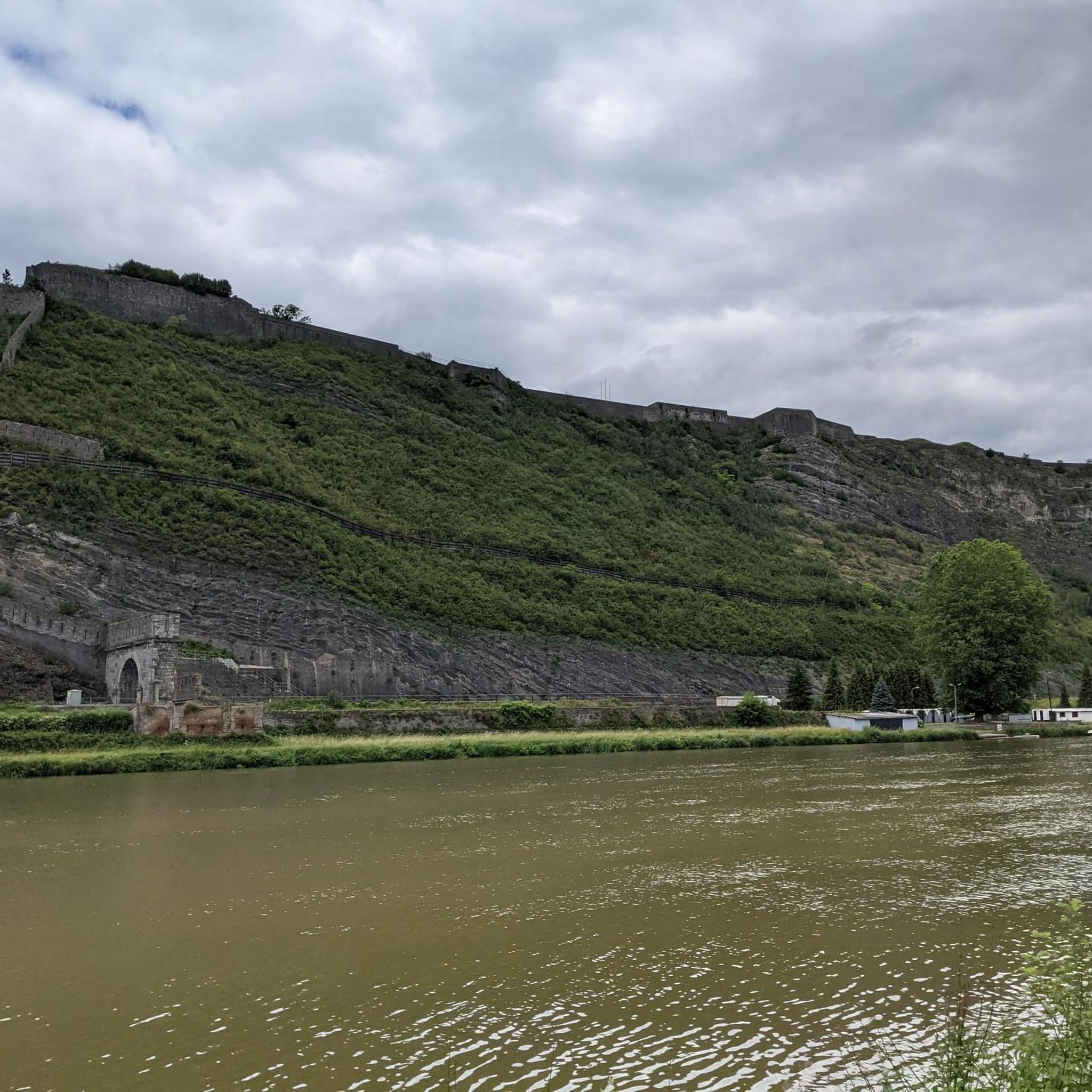
The construction of Fort Charlemont began in 1555 by order of Emperor Charles V. It dominates Givet and the Meuse valley. The fort and its defences have been modified several times. Between around 1600 and 1675, the Spanish expanded the fort. In 1678, it was conquered by the French army of King Louis XIV. The town fell to France in 1697. Vauban was commissioned to expand the complex and improve the works. In 1874, several forts on the border were modified based on the ideas of Séré de Rivières, including this fort. The bastions were rebuilt and an underground staircase with several hundred steps was dug into the rock. The staircase connects the fort to a railway tunnel. In this way, the fort could be supplied with ammunition, soldiers and equipment, all out of sight of the enemy and invulnerable to enemy artillery fire. In 2009, the French army transferred the fort to the municipality of Givet.
1
0
Givet belongs to the region of the French Ardennes and to the Calestienne. The pointe de Givet, consisting of Givet and its surroundings, is the only part of France where Walloon is spoken. Until the end of the 17th century, the area was part of the Southern Netherlands.
1
0

Situated on the Meuse and crossed by the Houille river, Givet is a French city in the heart of the Ardennes with a remarkable geographical location and a rich urban and historical heritage. Givet is the perfect combination of history and modernity.
2
0


The fort looks very impressive when viewed from across the Meuse.
0
0


beautiful view of the fort of Charlemont and the Meuse
1
0
Frequently Asked Questions
How many running routes are available around Rancennes?
There are over 275 running routes around Rancennes, offering a wide variety of options for all skill levels. These include easy, moderate, and difficult trails through the diverse landscapes of the Ardennes.
What kind of terrain can I expect on running trails near Rancennes?
The running trails near Rancennes feature a diverse landscape, including dense forests, rolling hills, and paths along the Meuse River. You'll find varied terrain such as dry grasslands, steep cliffs, and river valleys, especially within the Pointe de Givet Nature Reserve and the wider Ardennes Regional Natural Park.
Are there running routes suitable for beginners in Rancennes?
Yes, Rancennes offers 16 easy running routes perfect for beginners or those looking for a relaxed jog. An example is the Givet – Givet loop from Givet, which is 3.6 km long with minimal elevation change.
What do other runners say about the trails in Rancennes?
The running routes in Rancennes are highly rated by the komoot community, with an average score of 4.1 stars from over 75 reviews. Runners often praise the varied terrain, scenic views, and the opportunity to explore the natural beauty of the Ardennes.
Are there any running trails with waterfalls near Rancennes?
Yes, the region offers picturesque routes featuring waterfalls. The Cascatelles Trail, while known for hiking, presents an enchanting route that climbs along a stream with beautiful waterfalls, suitable for a vigorous uphill jog. Givet, nearby, also has a trail passing waterfalls.
Can I find running paths along the Meuse River?
Absolutely. The Meuse River is a central feature of the region. The Trans-Ardennes Green Lane, which follows the Meuse, provides over 130 km of pathways perfect for jogging, offering serene riverside views and a generally flat, accessible surface. The View of Fort de Charlemont – Wishing Tree by the Meuse loop from Ham-sur-Meuse is an example of a route that follows the Meuse River.
Are there any circular running routes in the area?
Yes, many running routes around Rancennes are circular, allowing you to start and finish at the same point. For instance, the Mont d'Haurs — loop — running from Givet is a popular 4.2 km circular trail offering views of the Meuse valley.
What landmarks or points of interest can I see while running near Rancennes?
You can encounter several interesting landmarks. The impressive View of Fort de Charlemont, dominating Givet and the Meuse valley, is visible from several routes. The town of Givet itself, with its historical heritage, is also a notable point of interest.
Are there challenging running routes with significant elevation changes?
Yes, the Ardennes region around Rancennes offers challenging routes with notable elevation changes, especially in areas with steep cliffs and escarpments. The Pas de Géant Trail loop from Fromelennes is a 9.5 km trail with significant elevation, providing a demanding workout.
Are the running trails around Rancennes suitable for families?
Many trails, particularly the easier and flatter sections along the Meuse River, are suitable for families. While specific family-friendly routes are not highlighted, the variety of terrain means you can find paths that cater to different ages and fitness levels, allowing for enjoyable outings together.
Are there dog-friendly running trails in Rancennes?
While specific regulations for dogs on trails can vary, generally, the natural trails and green spaces in the Ardennes Regional Natural Park are welcoming to dogs, provided they are kept under control. It's always advisable to check local signage for any specific restrictions in nature reserves or protected areas.
What is the best time of year for running in Rancennes?
The spring and autumn months are generally ideal for running in Rancennes, offering pleasant temperatures and beautiful scenery as the foliage changes. Summer can also be great, especially for early morning or late afternoon runs to avoid the midday heat. Winter running is possible, but trails might be slippery or muddy.
Are there any hidden gem running trails in Rancennes?
The vast network of trails within the Pointe de Givet Nature Reserve and the broader Ardennes Regional Natural Park means there are many less-trafficked paths waiting to be discovered. Exploring the numerous mapped loops and forest trails away from the main routes can lead you to quiet, scenic spots that feel like hidden gems.
Most popular attractions around Rancennes

Get inspired with the komoot mobile app


Explore more
Browse the best Running Trails & Routes in other regions.
