The best walks and hikes around Autretot
4.4
(105)
607
hikers
88
hikes
Hiking around Autretot offers exploration of the Pays de Caux in Seine-Maritime, Normandy, characterized by rolling fields, prairies, and wooded areas. The region features green valleys, such as the Val au Cesne, and the picturesque Durdent River Valley. Trails often lead through open countryside and past traditional Norman farmsteads, providing a mix of natural and cultural interest. The landscape generally presents gentle elevation changes, making it accessible for various hiking abilities.
Best hiking trails around Autretot
- The most popular hiking…
Last updated: July 8, 2026
3.0
(1)
20
hikers
9.26km
02:27
90m
90m
Moderate hike. Good fitness required. Easily-accessible paths. Suitable for all skill levels.
4.3
(4)
16
hikers
15.3km
04:08
200m
200m
Moderate hike. Good fitness required. Easily-accessible paths. Suitable for all skill levels.

Sign up for free
5.0
(1)
10
hikers
19.2km
05:07
210m
210m
Hard hike. Very good fitness required. Easily-accessible paths. Suitable for all skill levels.
5.0
(1)
10
hikers
5.81km
01:32
60m
60m
Easy hike. Great for any fitness level. Easily-accessible paths. Suitable for all skill levels.
6
hikers
12.8km
03:18
50m
50m
Moderate hike. Good fitness required. Easily-accessible paths. Suitable for all skill levels.
Get access to more routes and recommendations from other explorers.
Sign up for free
Already have an account?
Our route recommendations are based on thousands of hikes, rides, and runs completed by other people on komoot.
Start today with a free account
Your next adventure awaits.
Login or Signup



Tips from the Community


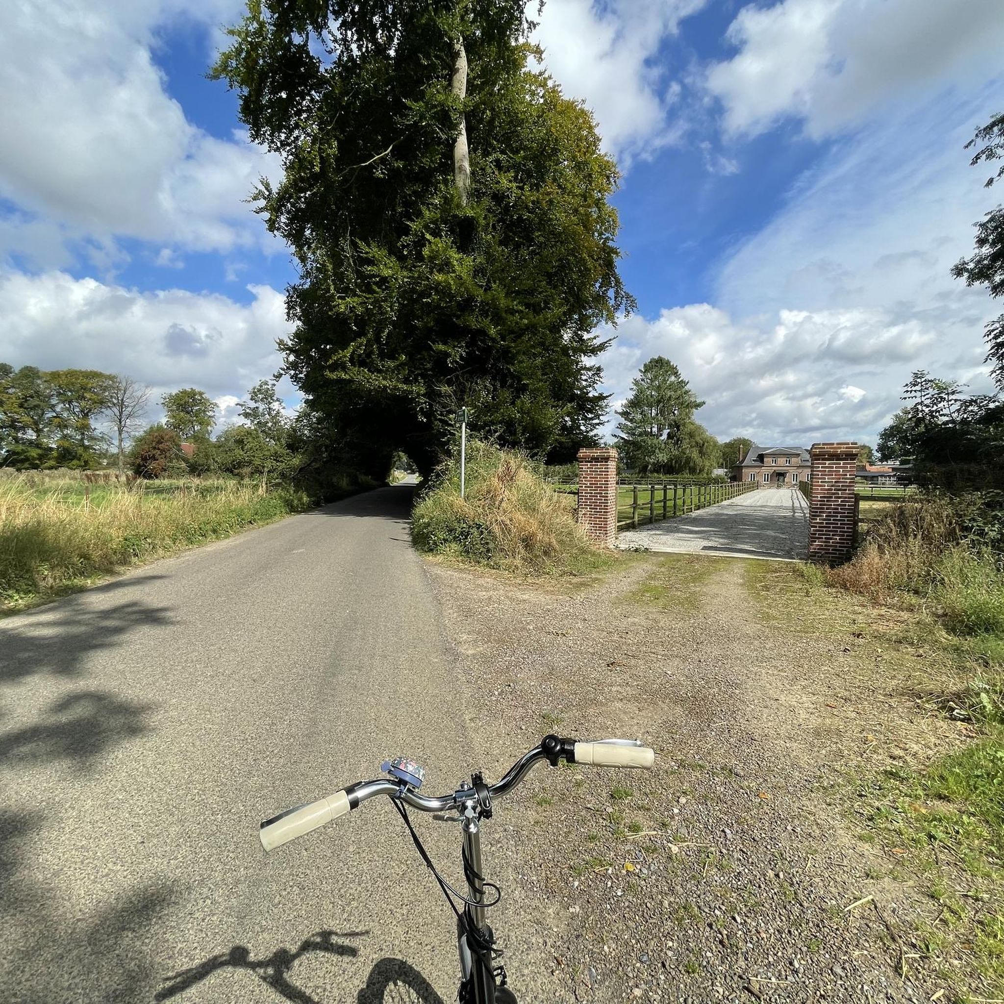
The name of the commune of Hautot-Saint-Sulpice includes the word Hautot which comes from “Hawk Tot” meaning the viking’s farm. The term will evolve into Hotto then Hautot. As for Saint-Sulpice, he was the patron saint of the parish. Church completely rebuilt in 1849 and 1850 for Abbot Simon. Elongated building with two naves. The nave is preceded by a bell tower pierced with sounding louvers and crowned with a polygonal slate spire. The structural work is made up of sandstone, brick, flint.
0
0

La Durdent is formed in Héricourt-en-Caux. In many places small springs rise to form La Durdent. The water is also used as drinking water. In the days of steam trains, water was diverted via pipes to the station in Yvetot.
0
0
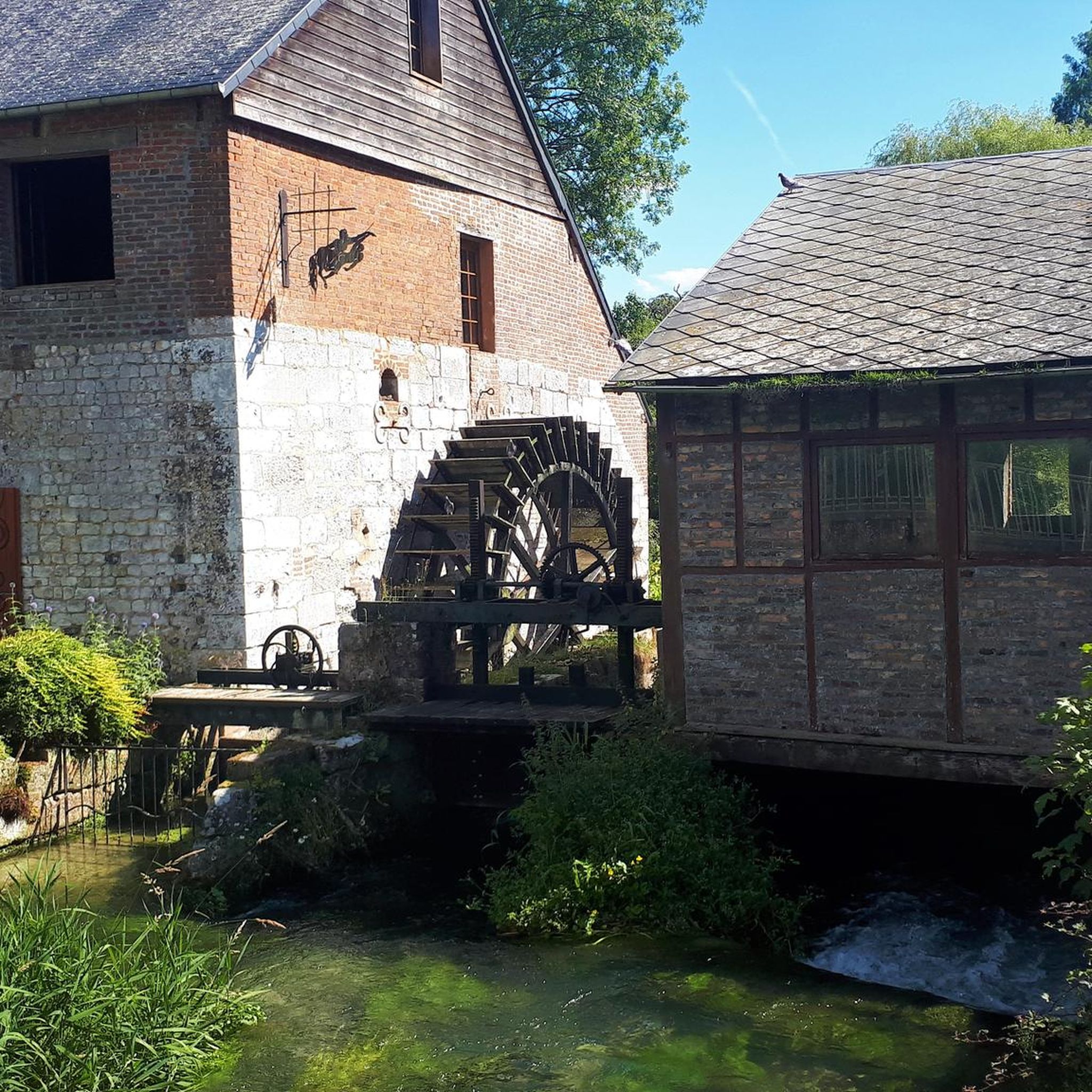
Since November 12, 1934, this has been a monument. In former years, it served as a stable for horses. You can tell from the construction of the roof that the carpenters worked in shipbuilding.
0
0
Here you can see how hydropower is used.
0
0

Frequently Asked Questions
How many hiking trails are available around Autretot?
There are over 80 hiking routes in the Autretot area, catering to various preferences. You'll find a good mix, with approximately 40 easy trails, 40 moderate options, and a few more challenging routes for experienced hikers.
What kind of terrain can I expect on hikes near Autretot?
The terrain around Autretot, nestled in the Pays de Caux, is characterized by rolling fields, open prairies, and peaceful wooded areas. You'll often encounter paths leading through traditional Norman farmsteads (clos-masures) and along picturesque green valleys like the Val au Cesne and the Durdent River Valley. The elevation changes are generally gentle, making the area accessible for most abilities.
Are there any family-friendly hiking options in Autretot?
Yes, Autretot offers several easy and shorter trails perfect for families. For example, the Poppy Field Near Château loop from Rocquefort is an easy 3.4-mile (5.4 km) trail that takes about 1 hour 26 minutes to complete, offering a pleasant stroll through open countryside suitable for all ages.
What are some notable natural features or landmarks to see while hiking?
Hikers can discover several interesting natural and historical features. The Bridge over La Durdent is a scenic spot along the river. You might also encounter the ancient Allouville Oak, a remarkable 1200-year-old tree, a short distance from Autretot. The region's 'village fleuri' status also means you'll enjoy vibrant floral displays, especially within Autretot itself.
Are there any circular walks available around Autretot?
Many of the trails around Autretot are designed as circular routes, allowing you to start and end in the same location. An example is the Bridge over La Durdent – Durdent Valley loop from Rocquefort, a moderate 9.5-mile (15.3 km) trail that follows the scenic Durdent River Valley.
What do other hikers say about the trails in Autretot?
The hiking routes in Autretot are highly regarded by the komoot community, with an average rating of 4.5 stars from over 100 reviews. Hikers often praise the peaceful rural setting, the well-maintained paths, and the charming mix of open fields, woodlands, and traditional Norman architecture.
Can I access long-distance hiking routes like the GR21 from Autretot?
While Autretot itself is a tranquil village, it serves as a good base to explore the wider Seine-Maritime department. The region is traversed by long-distance routes such as the GR® 21 (Coast of Normandy) and GR® 2 (Along the Seine). You would need to travel a short distance from Autretot to connect with these specific long-distance trails, which offer more varied landscapes including wild coastlines and majestic limestone cliffs.
Are there any trails that offer panoramic views?
Yes, some circuits in the area, such as parts of the 'Le Bois de Caux' trail mentioned in regional research, are known to offer scenic panoramic views over the surrounding countryside. These often take you through woodlands and higher ground, providing expansive vistas of the Pays de Caux.
What is the best time of year to go hiking in Autretot?
Autretot is a 'village fleuri' and is particularly beautiful during spring and summer when the floral displays are at their peak, making for a vibrant hiking experience. The rolling fields and woodlands are also very pleasant in autumn with changing colors. The gentle terrain generally allows for hiking throughout much of the year, though checking local weather is always advisable.
Are there any historical elements to discover on the trails?
Yes, the region's history is woven into its landscape. Some paths follow ancient Roman roads, and you may encounter charming historical elements such as beautiful half-timbered houses, traditional Norman manors, and religious edifices like the Chapelle Saint-Riquier, adding a cultural dimension to your hike.
Where can I find parking for hiking trails in Autretot?
While specific parking locations for every trailhead are not detailed here, Autretot and nearby villages typically offer public parking areas. It's generally advisable to look for designated parking in the village centers or near popular starting points for trails. Given the rural nature, parking is usually accessible.
Are there any challenging hikes for experienced trekkers?
For those seeking a more challenging experience, the Autretot area does offer some difficult routes. The Auberge du Val au Cesne – Church loop from Yvetot is a difficult 11.9-mile (19.2 km) path that explores the wooded vales of the Val au Cesne, providing a more strenuous trek with greater elevation changes.
Most popular attractions around Autretot

Get inspired with the komoot mobile app


Explore more
Browse the best Hikes in other regions.
