The best walks and hikes around Aureville
4.5
(714)
5,115
hikers
336
hikes
Hiking around Aureville offers access to green spaces, rolling hills, and historical waterways. The region is characterized by varied terrain, including wooded valleys and pathways along the Canal du Midi. Distant views of the Pyrenees are possible from elevated points like Pech David. This area provides a mix of easy and moderate trails suitable for outdoor exploration.
Best hiking trails around Aureville
- The most popular hiking route is Oratory of Our Lady of the Woods – Edge of Ariège 💦…
Last updated: August 28, 2026
4.6
(17)
146
hikers
12.5km
03:34
220m
220m
Moderate hike. Good fitness required. Mostly accessible paths. Sure-footedness required.
4.9
(8)
43
hikers
6.83km
01:54
130m
130m
Easy hike. Great for any fitness level. Easily-accessible paths. Suitable for all skill levels.

Sign up for free
4.6
(13)
66
hikers
9.20km
02:31
140m
140m
Moderate hike. Good fitness required. Easily-accessible paths. Suitable for all skill levels.
4.3
(3)
29
hikers
7.66km
02:09
150m
150m
Moderate hike. Good fitness required. Easily-accessible paths. Suitable for all skill levels.
5.0
(3)
22
hikers
15.6km
04:29
320m
320m
Moderate hike. Good fitness required. Mostly accessible paths. Sure-footedness required.
Get access to more routes and recommendations from other explorers.
Sign up for free
Already have an account?
Our route recommendations are based on thousands of hikes, rides, and runs completed by other people on komoot.
Start today with a free account
Your next adventure awaits.
Login or Signup


Tips from the Community


Its five-bell wall contains four bells from the Toulouse-based founder Louison (1st floor, 2nd south floor, and 3rd floor). The two bells on the first floor are very special because Master Founder Jean-Louis Louison designed the design to optimize the rotating peal and the sound. I heard them ring at noon, and the sound is magnificent 🤩
0
0

Please note, bicycles are prohibited.
1
0
The Quaternary site of Clermont, from the dual perspective of paleontology and prehistoric archaeology Thirty years after his initial discoveries (1851-1881), Noulet takes stock of the Infernet site.
1
0

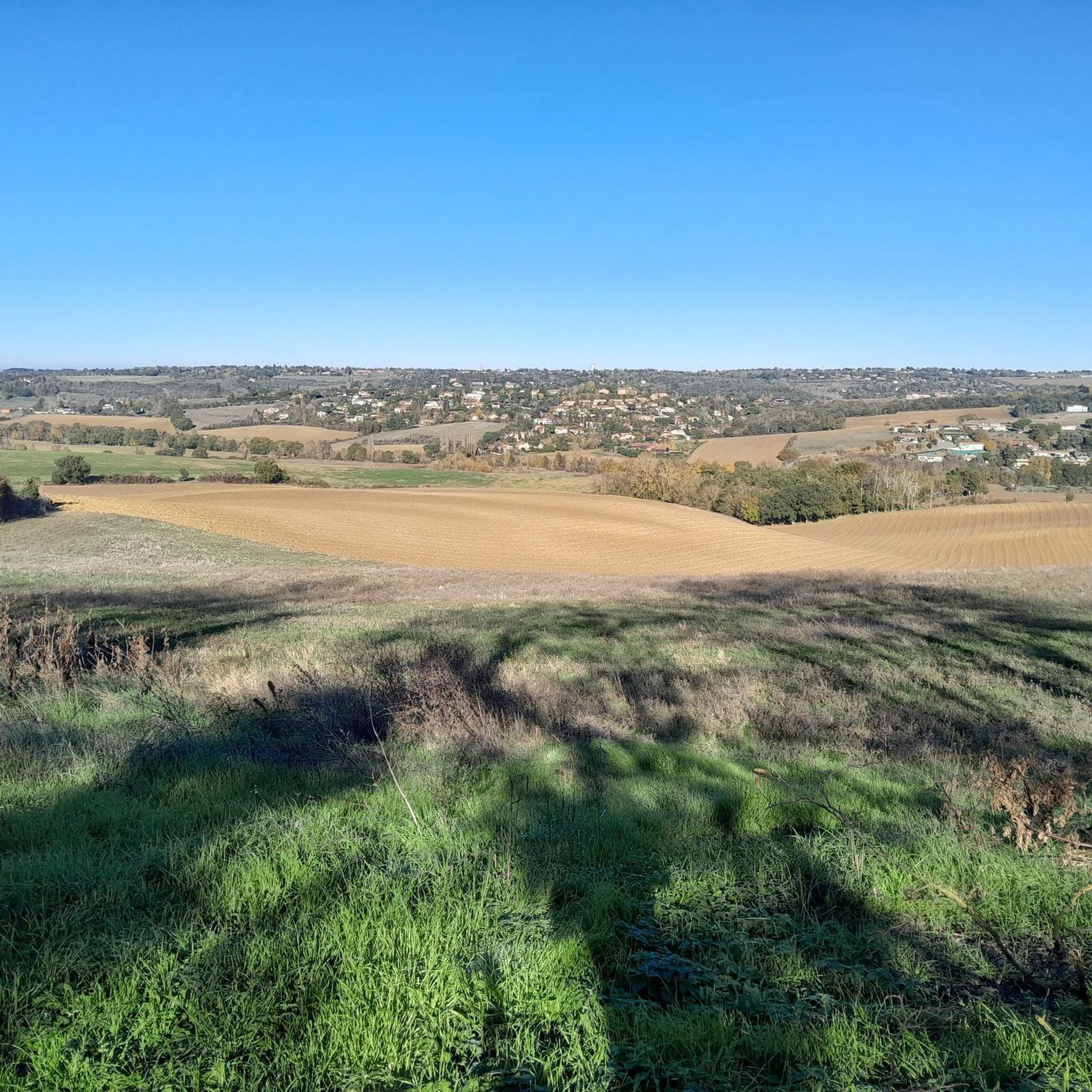
A tiny village with incredible charm, Clermont-le-Fort dominates the Ariège plain and offers a splendid panorama of the Pyrenees chain. Be careful, the view is worth it with beautiful percentages all around. Departure for beautiful walks, mountain bike or gravel rides.
1
0

Steep but short hill
0
0


A very nice viewpoint with an orientation table to help you find your way around and a few benches for a picnic break.
1
0
Frequently Asked Questions
How many hiking trails are available around Aureville?
Aureville offers a wide selection of hiking opportunities, with nearly 300 routes to explore. These range from easy strolls to more challenging excursions, ensuring there's something for every hiker.
What kind of landscapes can I expect to see on a hike in Aureville?
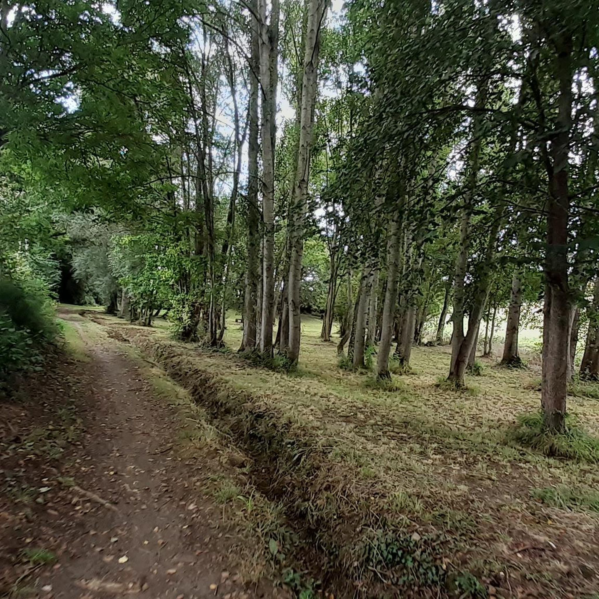
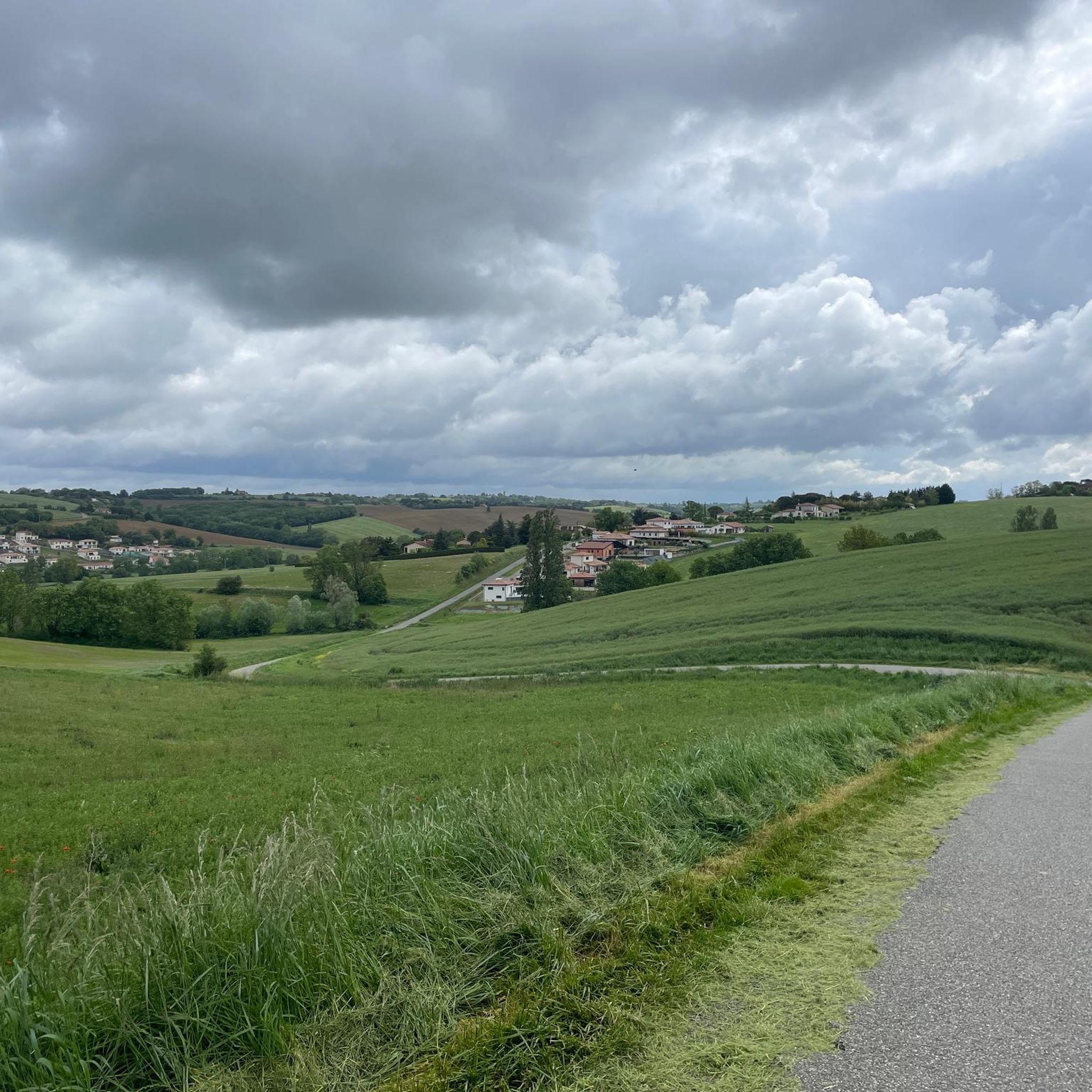
The region is characterized by diverse landscapes, including rolling countryside, tranquil forested trails, and valloned terrain. You'll find paths winding through undergrowth, alongside streams like the Ruisseau des Mérigues, and offering distant views of the Pyrenees from higher points.
Are there any easy hiking options suitable for beginners or a relaxed walk?
Yes, Aureville has over 130 easy trails. A great option is the Eglise Saint-Martin in Espanès – Beautiful view loop from Espanès, which is 6.9 km long and takes about 2 hours, leading through pleasant green spaces.
Are there any circular walks in Aureville?
Many of the trails in Aureville are designed as circular routes, allowing you to start and end at the same point. For example, the Oratory of Our Lady of the Woods – Edge of Ariège loop from La Favasse is a popular moderate circular hike covering 12.5 km.
What are some notable landmarks or natural features to look out for on Aureville's trails?
Hikers can discover several interesting points. The Canal du Midi Pathway offers accessible routes, while historical structures like the Castanet Lock and the Brick Bridge on the Canal du Midi at Pompertuzat provide cultural interest. The Trail of the Notre-Dame des Bois Chapel is also a significant highlight.
Are the hiking trails in Aureville well-marked?
Yes, many hiking itineraries in Aureville, including popular routes like the 'Tour du Bois Grand' mentioned in regional research, are well-marked, typically with yellow signs. This makes them accessible and easy to follow for visitors.
What do other hikers say about the trails in Aureville?
The hiking routes in Aureville are highly regarded by the komoot community, with an average rating of 4.6 out of 5 stars from over 600 reviews. Hikers often praise the varied terrain, the mix of quiet roads and forest paths, and the well-maintained nature of the trails.
Are there any longer, more challenging hikes in the area?
For those seeking a longer adventure, the Forest Path – Chemin de Regautier loop from Goyrans is a moderate 15.5 km route with over 300 meters of elevation gain, offering a more extended exploration of the region's woodlands.
Can I find routes with good viewpoints in Aureville?
Absolutely. The region's rolling hills provide several elevated points offering scenic vistas. The Rebigue Viewpoint – Rebigue orientation table loop from Rebigue is specifically known for its views over the surrounding countryside and towards the Pyrenees.
Are there any trails that offer a refreshing experience, especially in summer?
Yes, some trails provide natural freshness. For instance, circuits near Vigoulet-Auzil feature paths between the Ruisseau du Pont d'Auzil and the Ruisseau du Réganel, offering humidity and shade within the forest, which is particularly pleasant during warmer months.
Are there any routes that combine historical sites with natural beauty?
Yes, the La Gleysette Chapel – Château de Lacroix-Falgarde loop from Goyrans is a moderate 7.6 km route that allows you to explore both historical landmarks and the natural surroundings of Aureville.
Most popular routes around Aureville
Most popular attractions around Aureville

Get inspired with the komoot mobile app


Explore more
Browse the best Hikes in other regions.
