The best cycling routes around Arsure-Arsurette
4.5
(69)
1,429
riders
151
rides
Touring cycling routes around Arsure-Arsurette traverse the diverse landscapes of the Jura Mountains, characterized by varied topography, deep forests, and small lakes. The region features both gentle contours and changes in elevation, offering a range of cycling experiences. Natural highlights include the sources of the Doubs and Ain rivers, along with numerous viewpoints.
Best touring cycling routes around Arsure-Arsurette
- The most popular touring cycling route is Mouthe – Chaux-Neuve loop from Conte, a 37.3 miles (60.0 km) trail that…
Last updated: July 7, 2026
5.0
(3)
66
riders
60.1km
03:55
860m
860m
Hard bike ride. Very good fitness required. Mostly paved surfaces. Suitable for all skill levels.
3.7
(3)
24
riders
87.2km
05:30
1,020m
1,020m
Hard bike ride. Very good fitness required. Mostly paved surfaces. Suitable for all skill levels.

Sign up for free
5.0
(1)
24
riders
18.3km
01:28
230m
230m
Moderate bike ride. Good fitness required. Mostly paved surfaces. Suitable for all skill levels.
5.0
(1)
29
riders
57.3km
03:48
880m
880m
Hard bike ride. Very good fitness required. Mostly paved surfaces. Suitable for all skill levels.
5.0
(1)
16
riders
80.6km
05:11
960m
960m
Hard bike ride. Very good fitness required. Mostly paved surfaces. Suitable for all skill levels.
Get access to more routes and recommendations from other explorers.
Sign up for free
Already have an account?
Our route recommendations are based on thousands of hikes, rides, and runs completed by other people on komoot.
Start today with a free account
Your next adventure awaits.
Login or Signup
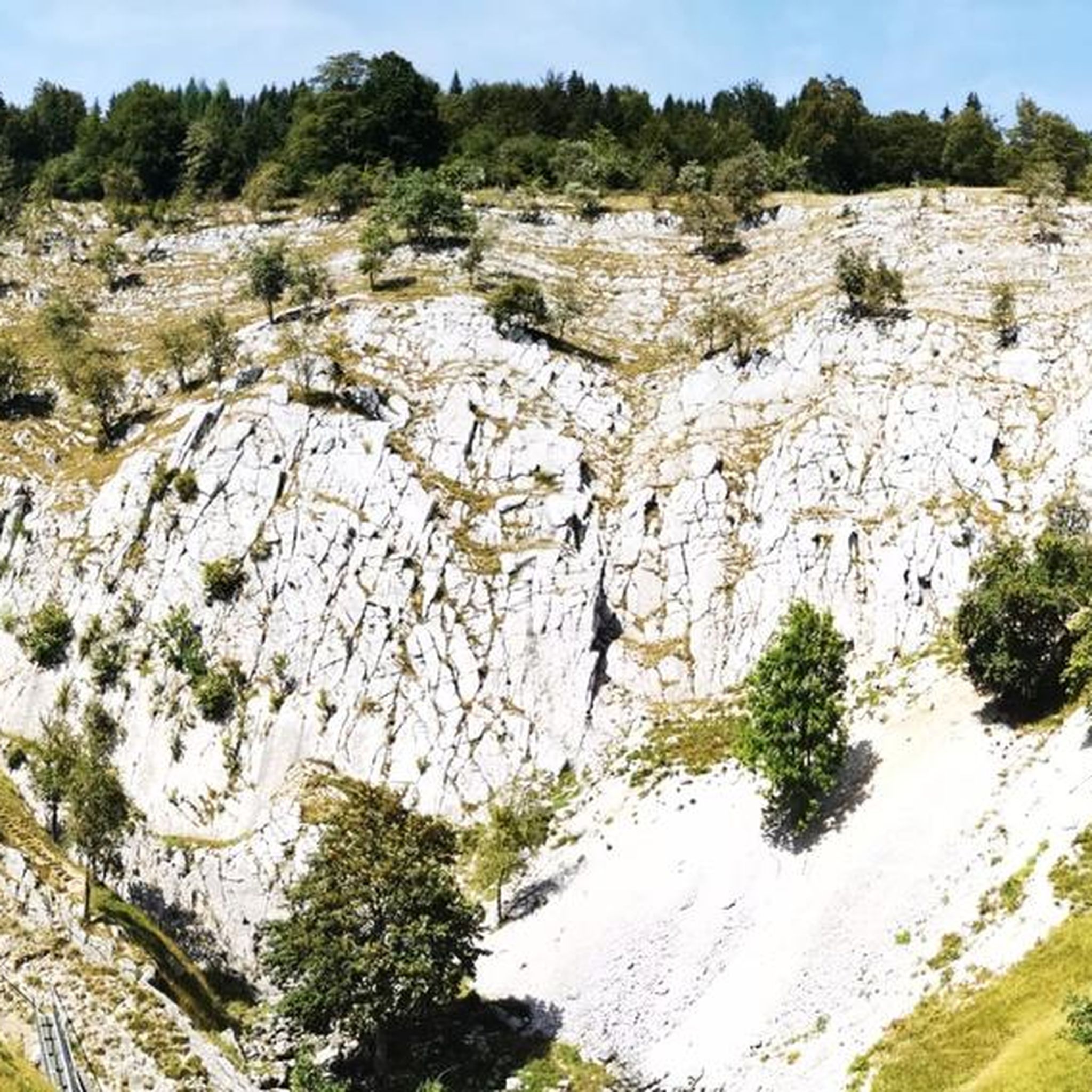
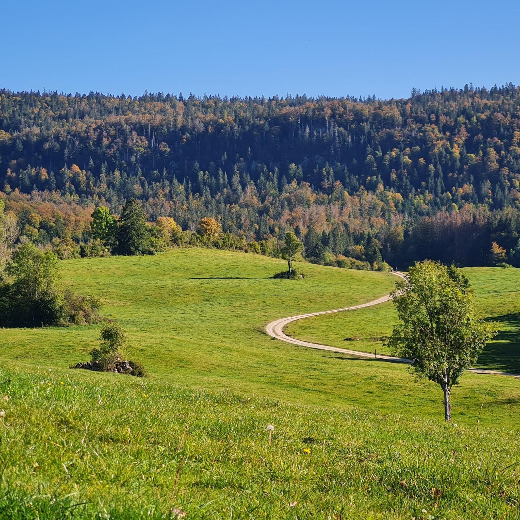
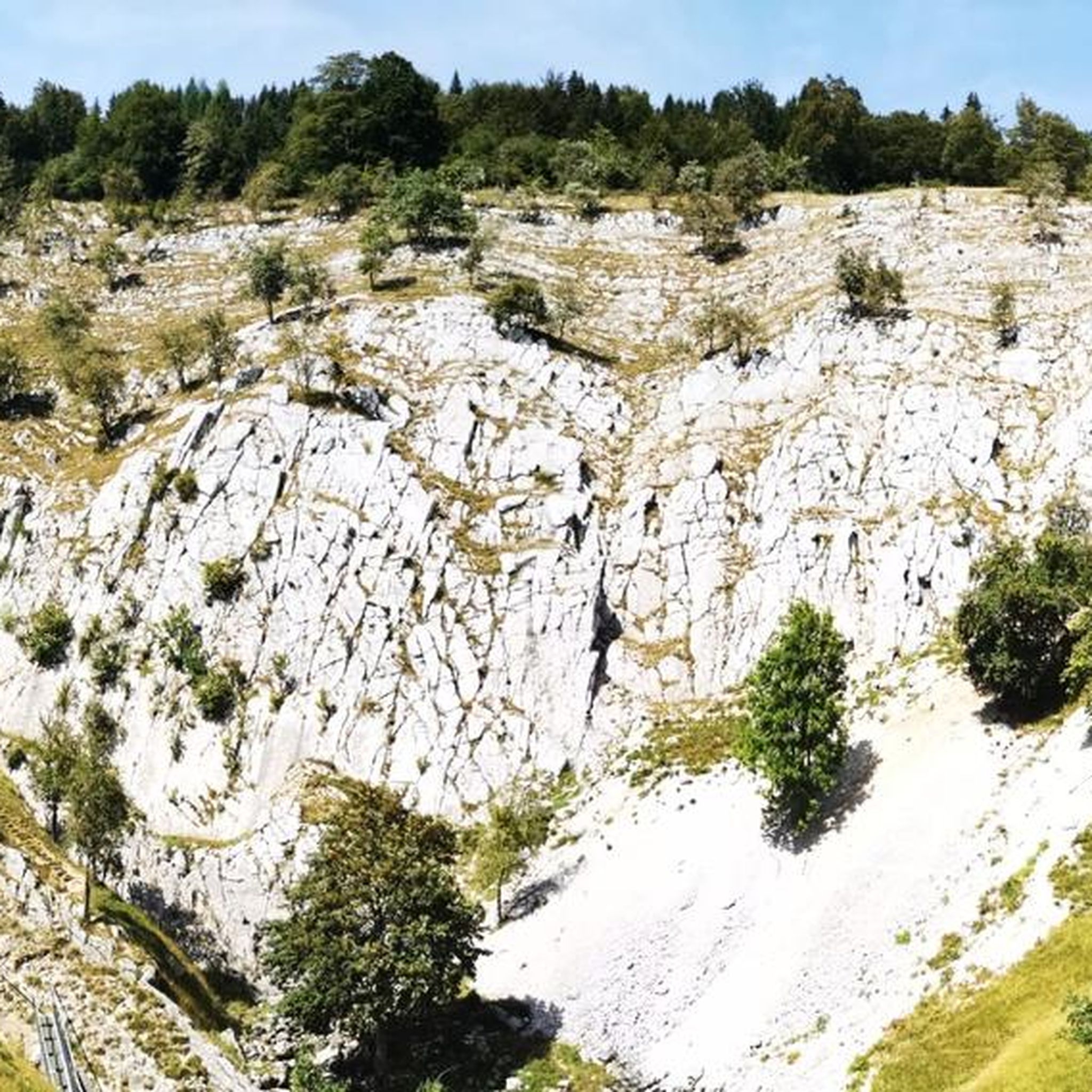
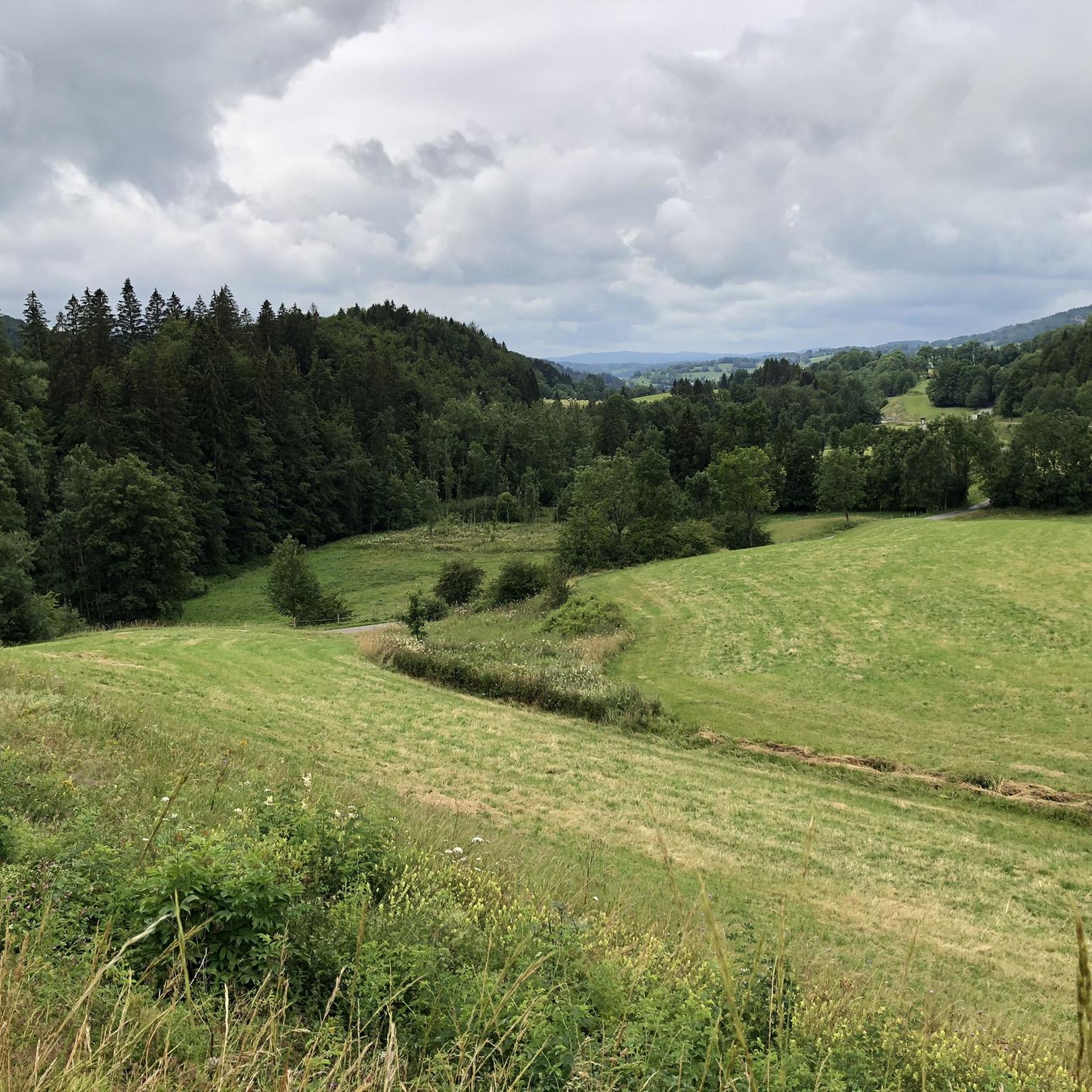

Tips from the Community


A very pretty viewpoint from the road overlooking Lake Remoray, a discreet neighbor of Lake Saint-Point. Located in the heart of a wild and preserved natural environment, it benefits from the status of a national nature reserve, and shelters a biological treasure: more than 200 species of birds, nearly 1,300 species of insects and 42 species of mammals find refuge there.
0
0

Viewpoint above the Doubs source with beautiful views through a forest clearing to Mouthe and the Doubs river.
6
0
The source of the Doubs River is a powerful karst spring in a heavily karstified area of the Jura Mountains. It lies at an altitude of 937 meters at the foot of the forested, up to 1,419-meter-high Mont Risoux mountain range, which straddles the border between France and Switzerland. The Doubs River rises from a small, approximately five-meter-deep spring basin in a cave in the rock.
6
0
Magnificent view of the Bief de la Ruine waterfall and a bridge of the former railway line.
7
0
Lacs de Maclu are two adjacent lakes in the western part of the French Jura, in the Jura department of Franche-Comté. They are located at an elevation of 779 m in a depression in the High Jura, in the region of the Five Lakes near Le Frasnois, about 12 km south of Champagnole. The Petit Maclu, located to the northeast, has an area of 5 hectares, a length of about 500 m, and a maximum width of about 120 m. Its greatest depth is 11 m. It lies entirely within the municipal territory of Le Frasnois.
6
0

Easy, shaded path, perfect for cooling off in hot weather.
0
0

We did a 3-day mountain bike trip in this magnificent region, the routes are great 👍
0
0
Frequently Asked Questions
How many touring cycling routes are available around Arsure-Arsurette?
There are over 140 touring cycling routes around Arsure-Arsurette, offering a wide range of experiences. These routes traverse the diverse landscapes of the Jura Mountains, featuring varied topography, deep forests, and small lakes.
What kind of terrain can I expect on touring cycling routes in Arsure-Arsurette?
The terrain around Arsure-Arsurette is diverse, ranging from gentle contours to significant changes in elevation. You'll encounter deep forests, small lakes, and routes that follow river sources. Many routes, such as the difficult Mouthe – Chaux-Neuve loop from Conte, feature substantial elevation gain, while others like the moderate Tourbières de Moutat – The source of the Doubs loop from Chaux-Neuve offer a more gradual experience through wetlands.
Are there any family-friendly touring cycling routes in the area?
Yes, the Jura region, including areas around Arsure-Arsurette, is known for its 'greenways' – dedicated lanes and paths where cars are not permitted. These often follow old railway lines or wind around lakes, providing safe and enjoyable cycling for families. While specific family-friendly routes are not detailed in the provided data, the presence of these greenways suggests many options for easier rides.
What natural attractions can I see along the touring cycling routes?
The region is rich in natural beauty. You can explore picturesque spots like the Langouette Gorges, the captivating Bief de la Ruine Waterfalls, and the Moulin du Saut Waterfall. Many routes also lead to significant river sources, such as The source of the Doubs and the Ain Spring. The View of Lake Saint-Point – Route du Lac de Saint-Point loop from Chaux-Neuve offers stunning lake views.
Are there any circular touring cycling routes available?
Many touring cycling routes around Arsure-Arsurette are designed as loops, allowing you to start and end in the same location. Examples include the challenging Lake Remoray – Lac de Saint-Point loop from Le Crouzet and the moderate Mouthe – Doubs Waterfall loop from Chaux-Neuve. These loops are ideal for day trips and offer varied scenery.
What is the best time of year for touring cycling in Arsure-Arsurette?
The Jura Mountains, where Arsure-Arsurette is located, are generally best for cycling during the warmer months, typically from late spring through early autumn. This period offers more favorable weather conditions for exploring the diverse landscapes, including deep forests and lake areas. Always check local weather forecasts before heading out.
What do other touring cyclists say about the routes in Arsure-Arsurette?
The touring cycling routes around Arsure-Arsurette are highly regarded by the komoot community, with an average rating of 4.5 stars from over 50 reviews. Cyclists often praise the varied terrain, the natural beauty of the Jura Mountains, and the opportunities to discover river sources and lakes.
Are there options for longer, more adventurous touring cycling journeys?
Yes, Arsure-Arsurette is situated within the Jura Mountains, which host iconic long-distance routes. The Grande Traversée du Jura by bike is a legendary route spanning the entire massif, and the EuroVélo 6, an easy and popular route, follows the Doubs river. These offer opportunities for multi-day adventures, often utilizing dedicated cycle paths.
Can I find routes that feature lakes or viewpoints?
Absolutely. The region is dotted with small lakes and offers panoramic viewpoints. The View of Lake Saint-Point – Route du Lac de Saint-Point loop from Chaux-Neuve is a prime example, offering scenic vistas of Lake Saint-Point. The Roche Fendue Viewpoint, mentioned in regional research, also provides panoramic views of the surrounding landscape.
Are there any routes that explore wetlands or river sources?
Yes, the area features unique natural environments like wetlands and river sources. The Tourbières de Moutat – The source of the Doubs loop from Chaux-Neuve is a moderate route that specifically leads through wetlands and towards the source of the Doubs river, offering a distinct natural experience.
What are the difficulty levels of touring cycling routes in Arsure-Arsurette?
The routes around Arsure-Arsurette cater to various skill levels. Approximately half of the routes are classified as difficult, offering significant challenges and elevation gains, while the other half are moderate, providing a balanced experience. There are also a few easy routes suitable for less experienced cyclists or those seeking a leisurely ride.
Most popular routes around Arsure-Arsurette
Most popular attractions around Arsure-Arsurette

Get inspired with the komoot mobile app


Explore more
Browse the best Cycling routes in other regions.
