The best walks and hikes around La Vergne
4.8
(44)
194
hikers
38
hikes
Hiking around La Vergne offers access to diverse green spaces and natural features. The region is characterized by its proximity to Percy Priest Lake, providing extensive public lands and picturesque lake views. Trails wind through hardwood forests and along streams, with varied terrain ranging from paved greenways to natural paths. The area generally features gentle elevations, making it accessible for various hiking abilities.
Best hiking trails in La Vergne
- The most popular hiking route is La Boutonne loop from Saint-Jean-d'Angély…
Last updated: July 11, 2026
4.6
(5)
17
hikers
Easy hike. Great for any fitness level. Easily-accessible paths. Suitable for all skill levels.
5.0
(1)
2
hikers
9.48km
02:30
90m
90m
Moderate hike. Good fitness required. Easily-accessible paths. Suitable for all skill levels.

Sign up for free
4.5
(2)
13
hikers
Easy hike. Great for any fitness level. Easily-accessible paths. Suitable for all skill levels.
4.5
(4)
5
hikers
4.45km
01:08
10m
10m
Easy hike. Great for any fitness level. Easily-accessible paths. Suitable for all skill levels.
5
hikers
Easy hike. Great for any fitness level. Easily-accessible paths. Suitable for all skill levels.
Get access to more routes and recommendations from other explorers.
Sign up for free
Already have an account?
Our route recommendations are based on thousands of hikes, rides, and runs completed by other people on komoot.
Start today with a free account
Your next adventure awaits.
Login or Signup
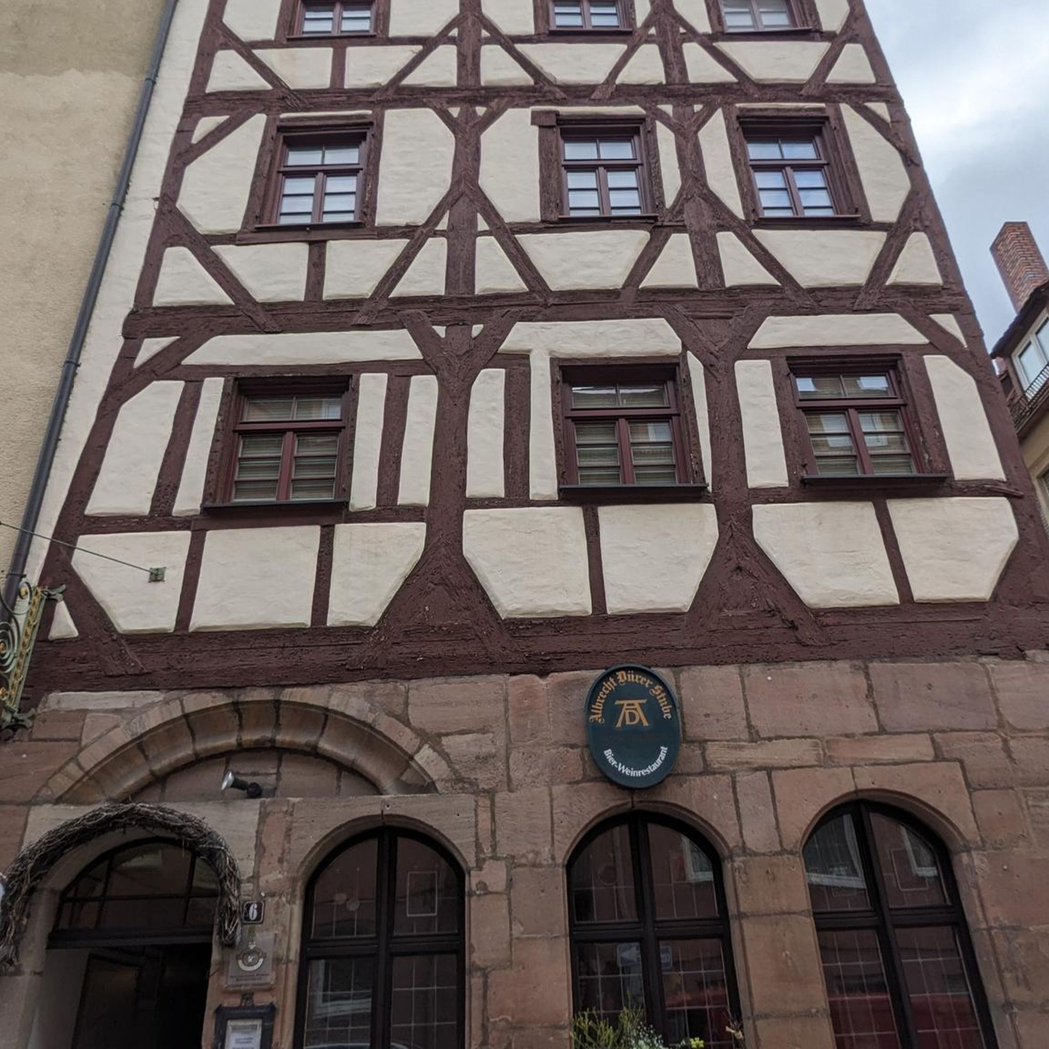
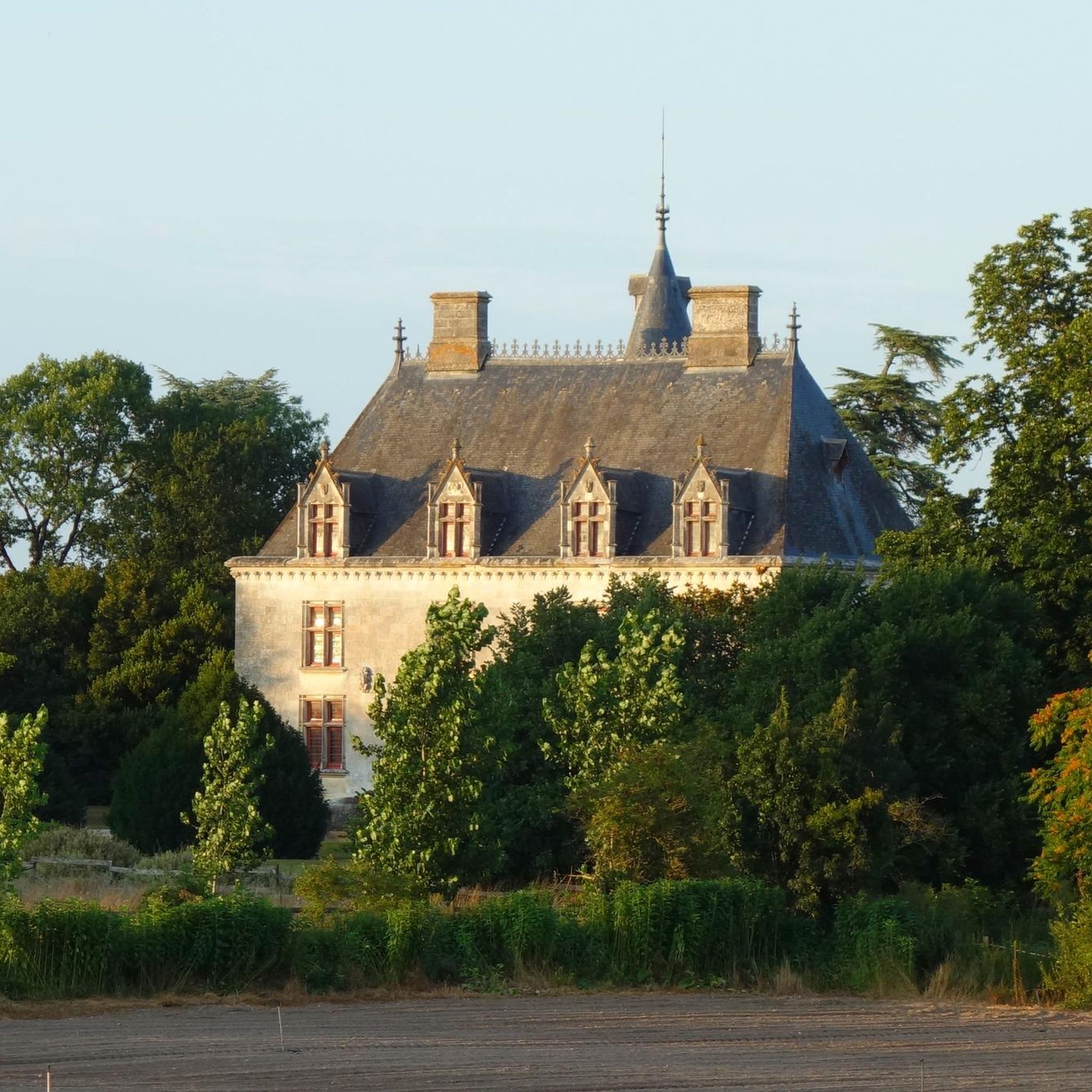

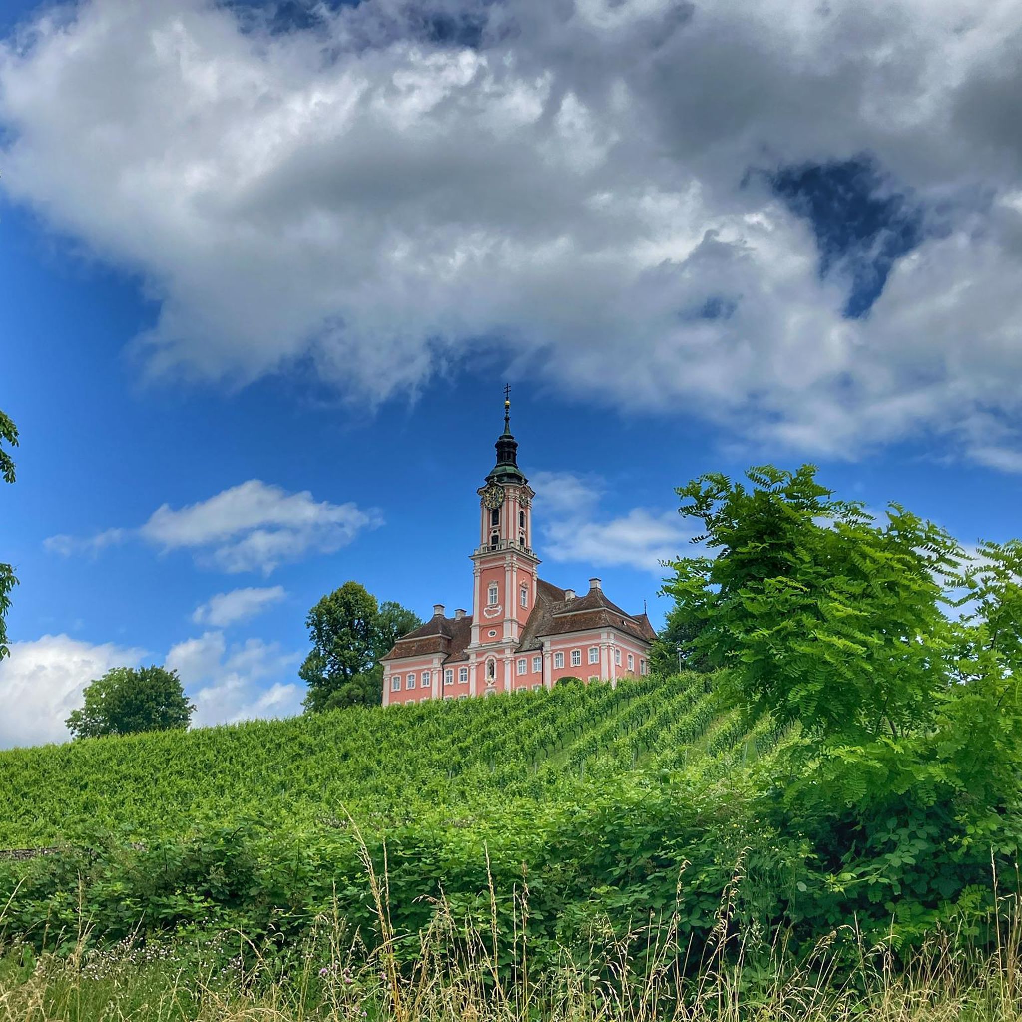
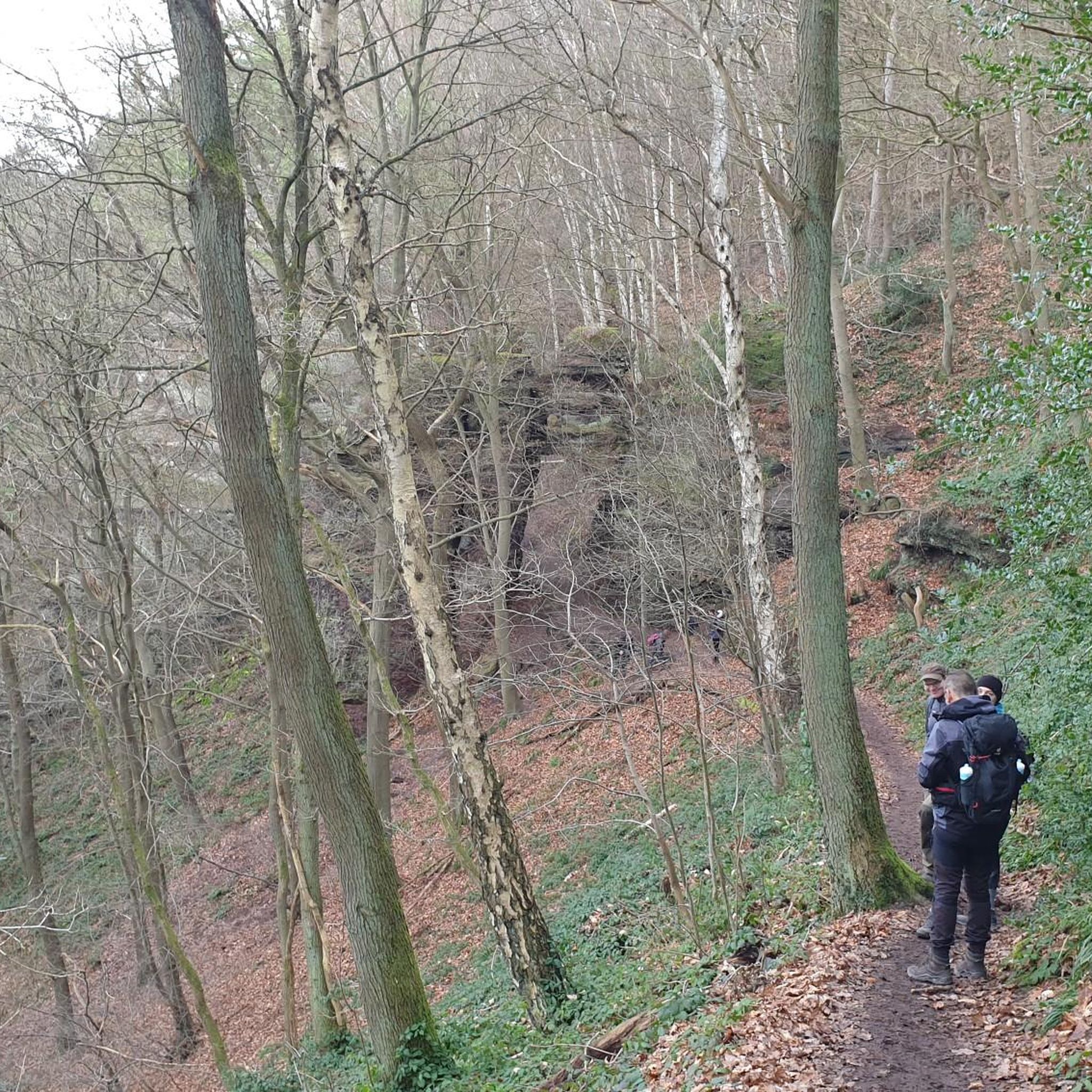
Tips from the Community

Beautiful campsite with trees and large pitches
0
0
Beautiful bridge, but relatively steep.
0
0
Here a road, cycle path and footpath runs along the Boutonne
0
0

The former monastery has existed since the 14th century, parts of it since the 17th century. The building is very worn and no longer completely intact, but still worth seeing!
0
0

super nice campsite to cycle from.
0
0

Quiet place, ideal for recharging Beautiful walks Magical place
2
0

A very special place in the south of France is the Domaine de Rennebourg. http://www.domainederennebourg.fr/
2
0
Great ground for running. Walkers or other runners have not met me.
0
0
Frequently Asked Questions
What kind of hiking experiences can I expect around La Vergne?
La Vergne offers a diverse range of hiking experiences, from easy strolls to moderate treks. The region is characterized by its lush green spaces, proximity to J. Percy Priest Lake, and a network of trails often featuring wooded sections and open parklands. You'll find paths along rivers, through parks, and around the lake, catering to various preferences and fitness levels.
Are there any easy, family-friendly hiking trails near La Vergne?
Yes, La Vergne and its surrounding areas offer several excellent options for families. Trails like the Couchville Lake (a 2.16-mile easy hike), the Big East Fork Reserve Trail, and the Central Hardwoods Scenic Trail are particularly recommended for family-friendly outings. These trails typically feature gentle terrain suitable for all ages.
Can I bring my dog on the hiking trails in La Vergne?
Many parks and trails in the La Vergne area are dog-friendly, but it's always best to check specific park regulations before you go. Generally, dogs are welcome on leash. For example, areas around J. Percy Priest Lake and many local greenways are popular spots for walking with pets.
What are some scenic viewpoints or natural features to look out for on the trails?
The region is rich in natural beauty. J. Percy Priest Lake is a central feature, offering scenic views and opportunities to observe wildlife like white-tailed deer and various birds. Trails along the Stones River and Hurricane Creek also provide picturesque settings. The Black, Blue, Green, and Red Trails are noted for their beautiful fall colors, while Radnor Lake offers serene lake views.
Are there any circular hiking routes available?
Yes, many trails in the La Vergne area are designed as loops, providing convenient circular walks. A notable example is the J. Percy Priest Lake Loop via Day Loop Trail, a 3.9-mile loop within Long Hunter State Park, which is considered one of the best hikes near La Vergne. Other parks and greenways also feature numerous loop options.
What is the best time of year to go hiking in La Vergne?
Hiking in La Vergne is enjoyable throughout much of the year. Spring brings blooming wildflowers and mild temperatures, while autumn offers stunning fall foliage, particularly on trails like the Black, Blue, Green, and Red Trails. Summers can be warm and humid, so early mornings or late afternoons are often preferred. Winters are generally mild, making hiking possible, though some trails might be muddy after rain.
Are there any interesting landmarks or attractions near the hiking areas?
While hiking, you can explore several interesting points. For instance, the Rennebourg Estate is a notable landmark. The region's history is also reflected in sites like the Ruins of the Former Abbey of Saint-Jean-Baptiste and various churches such as the Church of Our Lady of the Assumption and Saint Peter's Church. These offer a glimpse into the local heritage alongside your outdoor adventures.
How many hiking trails are there in the La Vergne area?
The La Vergne area boasts an extensive network of trails. There are over 23 trails covering more than 100 miles, offering a wide variety of options for walking, biking, and running. These trails feature varied surfaces, including asphalt, concrete, dirt, gravel, and woodchips.
What do other hikers enjoy most about hiking in La Vergne?
The area is highly rated by the komoot community, with an average score of 4.5 stars from over 36 reviews. Reviewers often praise the region's diverse green spaces, the accessibility of trails for different abilities, and the scenic beauty, especially around J. Percy Priest Lake and along the various greenways.
Are there options for public transport to reach hiking trailheads?
While La Vergne has some local public transport, many trailheads, especially those within state parks or more remote natural areas, may require personal vehicle access. It's advisable to check local transit schedules and park access information for specific routes you plan to hike. For more information on local transportation, you can visit the official La Vergne visitors page.
Where can I find parking for hiking trails in La Vergne?
Most parks and recreation areas in La Vergne and the surrounding Rutherford County offer dedicated parking facilities for trail access. For instance, Long Hunter State Park, Radnor Lake State Park, and Warner Parks all provide parking. It's always a good idea to check the specific park's website or signage for parking availability and any potential fees before your visit.
Are there any moderate difficulty trails for more experienced hikers?
Yes, for those seeking a more challenging experience, there are moderate trails available. The Black, Blue, Green, and Red Trails, a 4.21-mile option, and the Mossy Ridge Trail in Warner Parks, also a 4.21-mile trail, are both considered moderate and offer good views with varied terrain.
Most popular routes around La Vergne
Most popular attractions around La Vergne

Get inspired with the komoot mobile app


Explore more
Browse the best Hikes in other regions.
