The best MTB trails around Tonnay-Boutonne
4.9
(29)
165
riders
4
rides
Mountain bike trails around Tonnay-Boutonne traverse an undulating countryside shaped by the Boutonne River and its valleys. The region features a mix of wooded sections and marshlands, offering varied terrain for cycling. While the area is known for its accessible routes, the network of paths provides opportunities to explore the local flora and fauna. The landscape includes elevated viewpoints like the Puyrolland promontory, providing panoramic views.
Best mountain bike trails around Tonnay-Boutonne
- The most popular mountain bike trail is Archingeay…
Last updated: July 1, 2026
4.7
(7)
26
riders
39.1km
02:53
300m
300m
Moderate mountain bike ride. Good fitness required. Advanced riding skills necessary.
4.9
(7)
35
riders
35.1km
02:40
240m
240m
Moderate mountain bike ride. Good fitness required. Suitable for all skill levels.

Sign up for free
5.0
(3)
36
riders
37.7km
02:47
260m
260m
Moderate mountain bike ride. Good fitness required. Suitable for all skill levels.
21
riders
Moderate mountain bike ride. Good fitness required. Suitable for all skill levels.
5.0
(5)
9
riders
51.4km
03:01
130m
130m
Moderate mountain bike ride. Good fitness required. Suitable for all skill levels.
Our route recommendations are based on thousands of hikes, rides, and runs completed by other people on komoot.
Start today with a free account
Your next adventure awaits.
Login or Signup
Other adventures around Tonnay-Boutonne

Tips from the Community

A very beautiful archway!
2
0
Impressive bridge. Well worth seeing!
1
0
A truly interesting bridge. It's worth a stop.
1
0

Almost obligatory passage to cross the Charente, but it’s worth the detour
0
0


Small town with a special charm along the Charente.
0
0


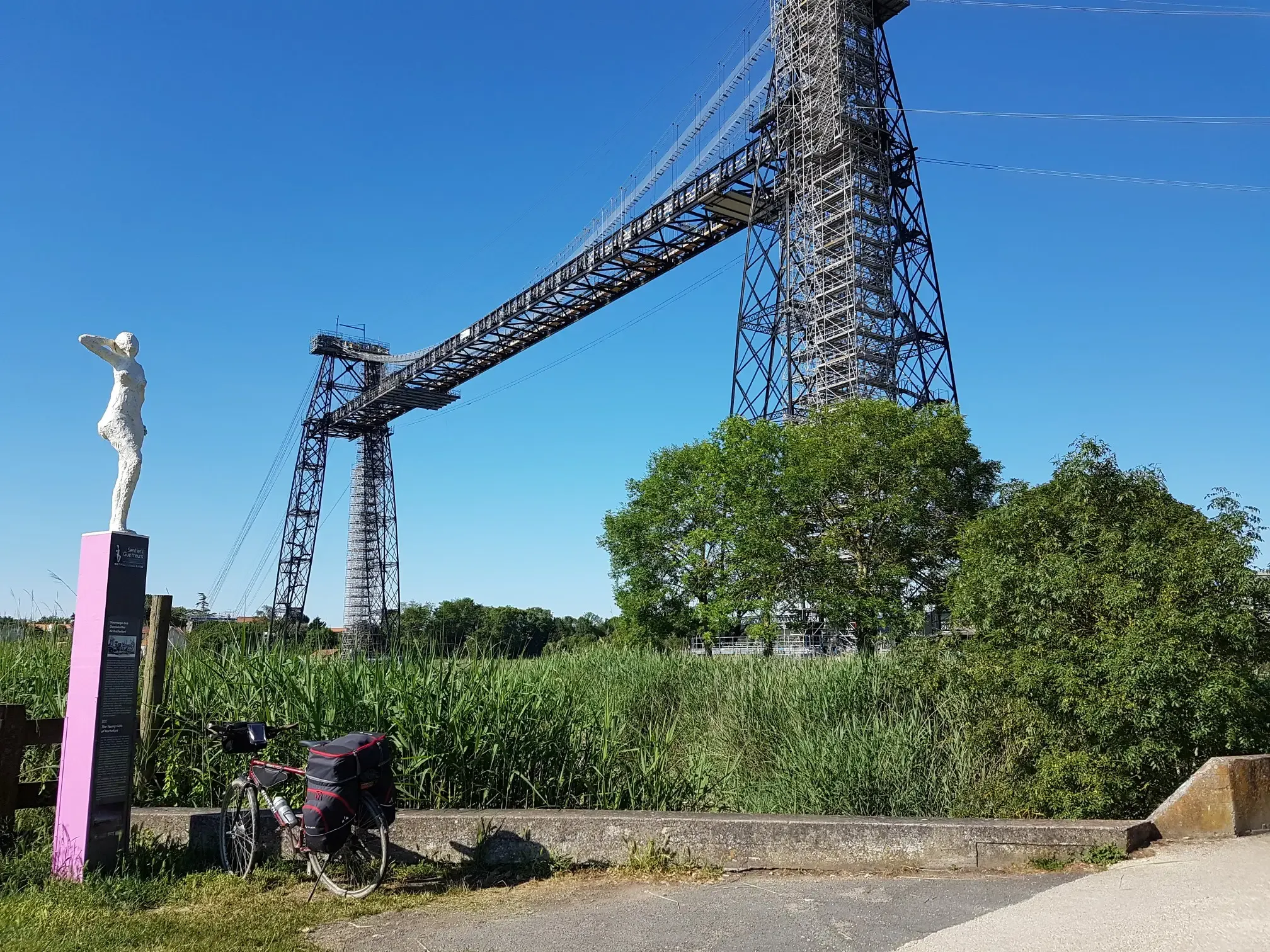
Compensating for the needs of the Charentais who were formerly obliged to use the ferry to reach the other bank of the river, the bridge was built in 1842 with the constraint of not disrupting the passage of tall sailing ships to Tonnay-Charente in order to allow the port fluvial to continue its activity linked to the transport of salt, wines and spirits. With its 620 m long, it is one of the oldest suspension bridges in Europe. The deck, 204 m long and 5 m wide, is supported by 51 pointed arches and overlooks the river at a height of 23 m. Originally made of wood, it collapsed in 1884 and was replaced by a metal structure. The increase in road traffic eventually weakened the structure and it was closed to all traffic in the 1960s. After numerous rehabilitation works, it is now reopened, but reserved for pedestrians and cyclists. New restoration work is planned to begin at the end of 2023, because its structure remains fragile and its maintenance weighs heavily on the accounts of the small town of Tonnay-Charente.
0
0
Frequently Asked Questions
How many mountain bike trails are available around Tonnay-Boutonne?
There are several mountain bike trails around Tonnay-Boutonne listed on komoot, offering a range of experiences. The area features 6 distinct routes, with 4 rated as easy and 2 as moderate, ensuring options for various skill levels.
What kind of terrain can I expect on mountain bike trails in Tonnay-Boutonne?
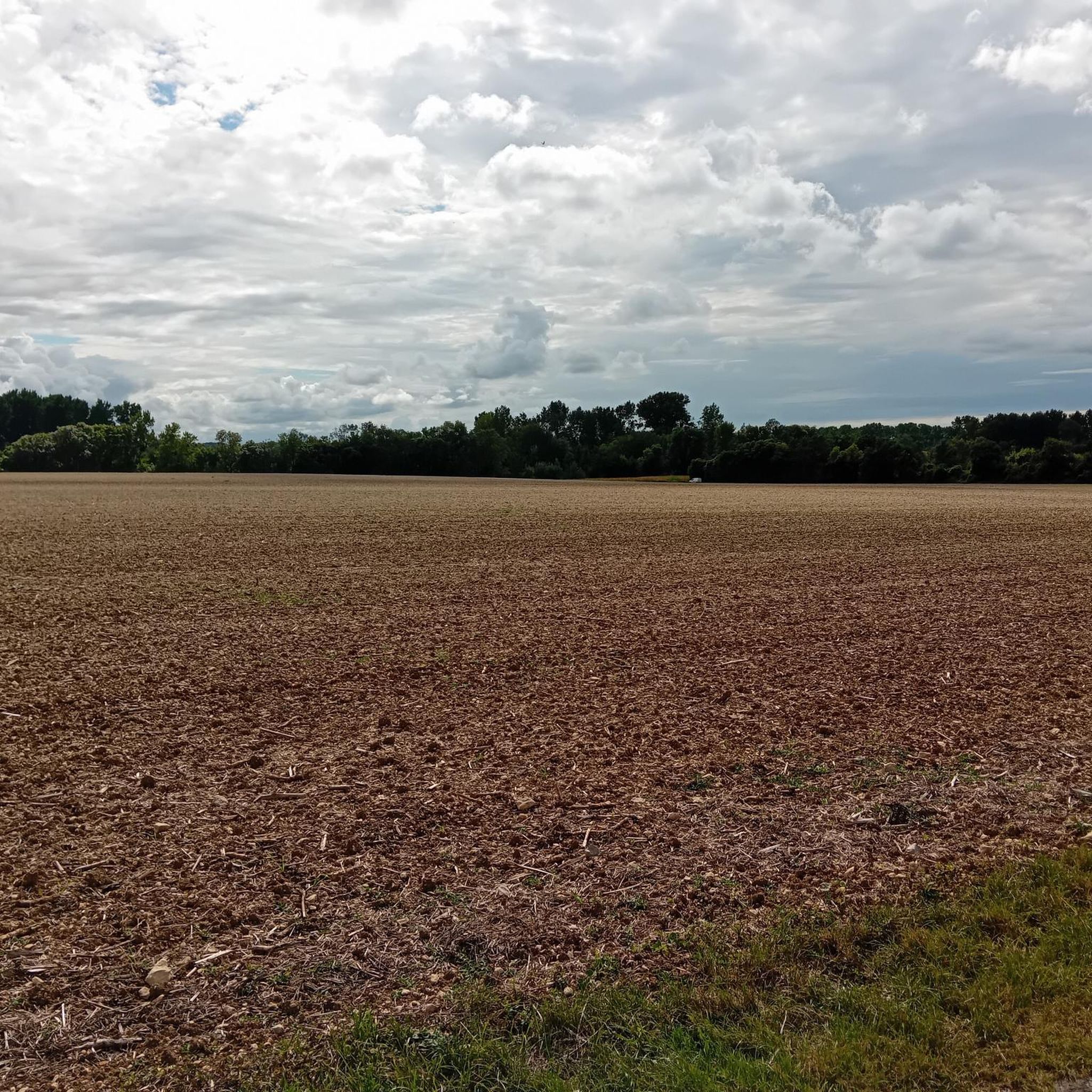
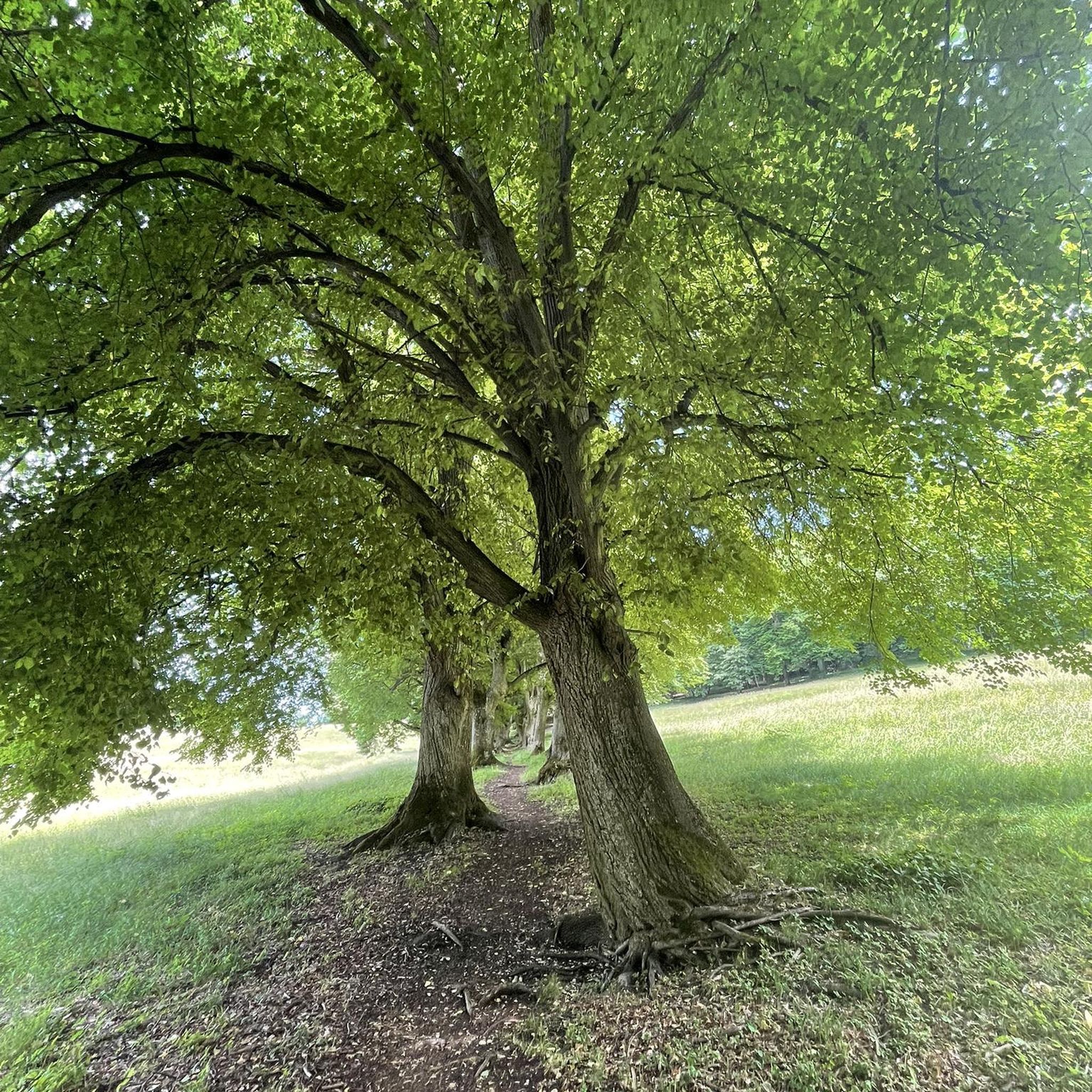
The mountain bike trails around Tonnay-Boutonne traverse an undulating countryside shaped by the Boutonne River and its valleys. You can expect a mix of wooded sections and marshlands, offering varied terrain. While generally accessible, the paths provide opportunities to explore local flora and fauna.
Are there any circular mountain bike routes in the Tonnay-Boutonne area?
Yes, many of the routes around Tonnay-Boutonne are circular. For example, the Archingeay loop from Les Nouillers is a popular moderate route covering 51.9 km, and the New wine and hot chestnuts loop from Bords offers a 38.3 km journey through rural landscapes.
What are some notable natural features or viewpoints accessible by mountain bike near Tonnay-Boutonne?
The region offers several scenic spots. The Puyrolland promontory provides a 360° panoramic view of the surrounding countryside, including the Trézence valley and the Landes marsh. The Boutonne River itself is a central natural feature, offering picturesque promenades along its banks. While not directly on a mountain bike route, the Saint-Marmé windmill also overlooks the Boutonne valley.
What do other mountain bikers say about the trails in Tonnay-Boutonne?
The mountain bike trails around Tonnay-Boutonne are highly rated by the komoot community, with an average score of 4.9 stars from over 30 reviews. Reviewers often praise the varied terrain, the tranquil environment, and the opportunities to discover local flora and fauna along the river valleys and wooded sections.
Are there any family-friendly mountain bike trails in Tonnay-Boutonne?
The area is known for its accessible routes, with 4 out of 6 trails rated as easy. These easier paths, often along the riverbanks and through less challenging terrain, can be suitable for families looking for a more relaxed mountain biking experience. The extensive network of paths allows for exploration at various skill levels.
What are some interesting landmarks or attractions I can see near the mountain bike trails?
While mountain biking, you might encounter several points of interest. Near Saint-Savinien, you can find the Saint-Savinien Church and Statues of the Apostles, or explore the charming town of Saint-Savinien-sur-Charente itself. Further afield, the Capuchin Castle and the Saint-Vivien Church in Geay are also notable attractions in the wider region.
What is the typical duration and distance for mountain bike trails in Tonnay-Boutonne?
The mountain bike trails in Tonnay-Boutonne vary in length and duration. For example, the Forest Stream – Beware of brambles loop from Saint-Savinien is about 37.3 km and typically takes around 2 hours 43 minutes. Another option, the Rochefort Transporter Bridge loop from Champservé le Haut, is 36.2 km and can be completed in approximately 2 hours 3 minutes.
Are there any mountain bike routes that pass by the Boutonne River?
Yes, the Boutonne River is central to the region's natural charm, and many cycling itineraries, including mountain bike routes, are found along its banks. These routes offer opportunities to discover the local flora and fauna of the Boutonne and Trézence valleys, providing picturesque views of the river.
What is the difficulty level of mountain biking in Tonnay-Boutonne?
Mountain biking in Tonnay-Boutonne is generally accessible, with routes ranging from easy to moderate difficulty. The network of paths is well-suited for various cycling levels, including easy mountain bike rides that are accessible for all fitness and skill levels. There are no trails rated as difficult in the immediate area.
Is there a specific mountain bike loop that offers a good overview of the region?
The Mountainbike loop from Saint-Savinien, at 32.9 km, offers a good exploration of the local area, passing through varied landscapes characteristic of Tonnay-Boutonne. It's a moderate route that provides a comprehensive experience of the region's natural beauty.
Most popular routes around Tonnay-Boutonne
Most popular attractions around Tonnay-Boutonne

Get inspired with the komoot mobile app


Explore more
Browse the best MTB trails in other regions.
