The best mountain hikes around Chaux-Des-Crotenay
5.0
(2)
9
hikers
3
hikes
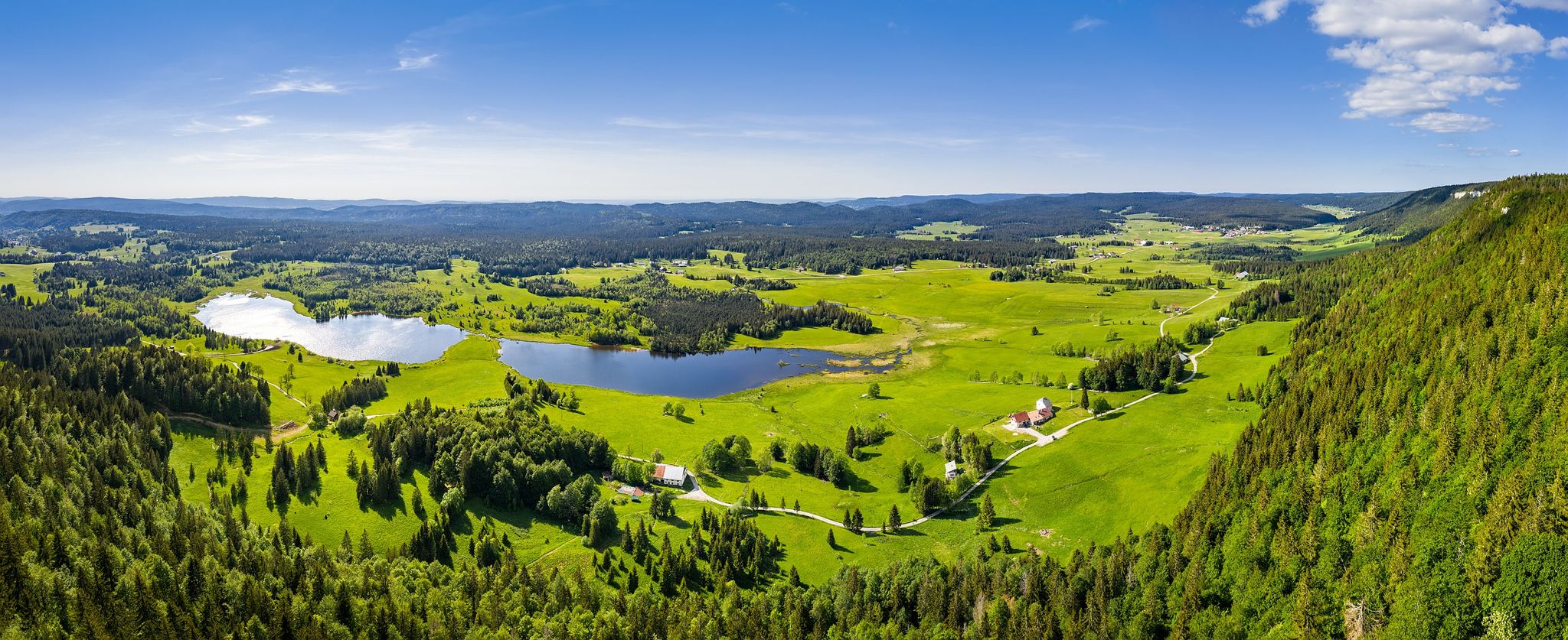
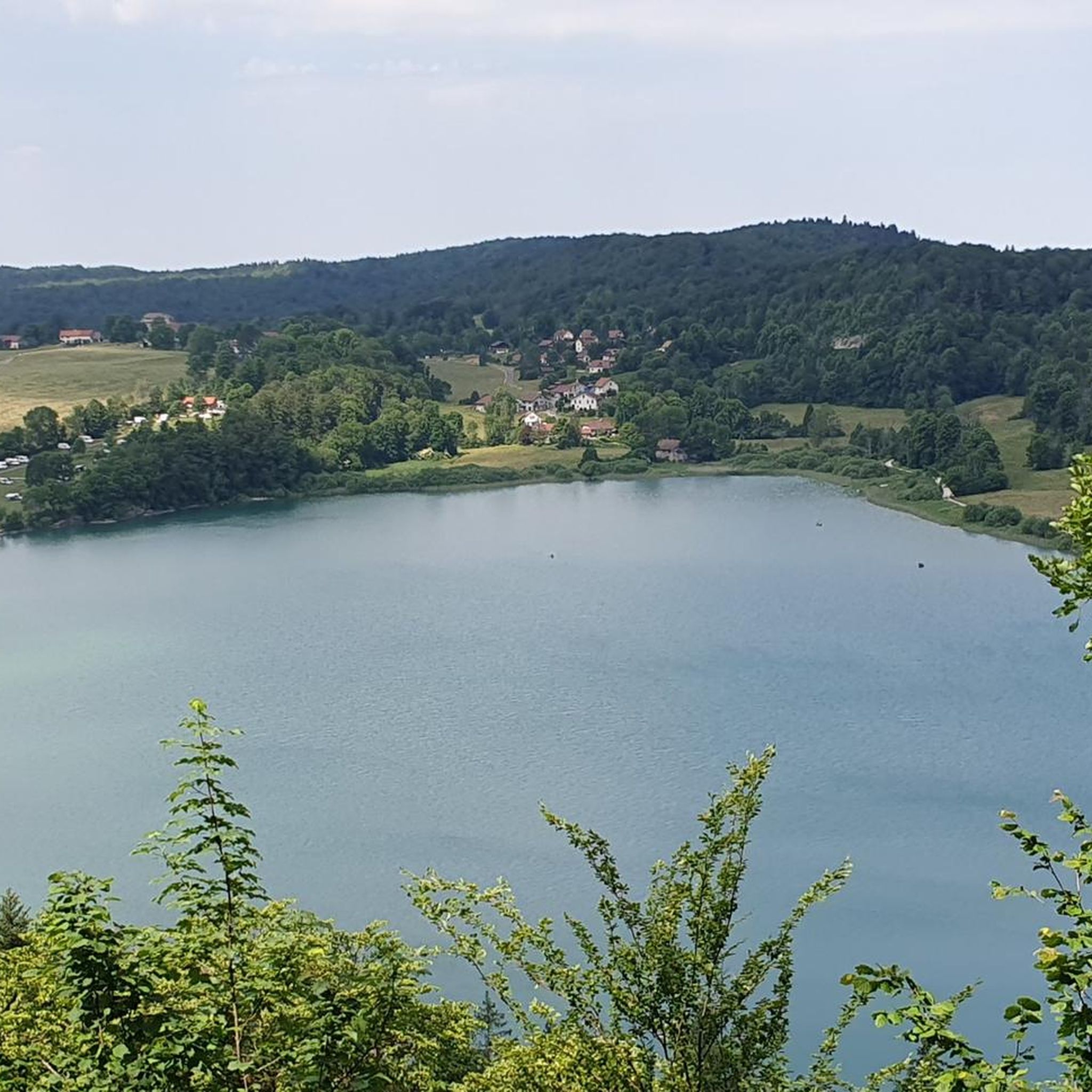
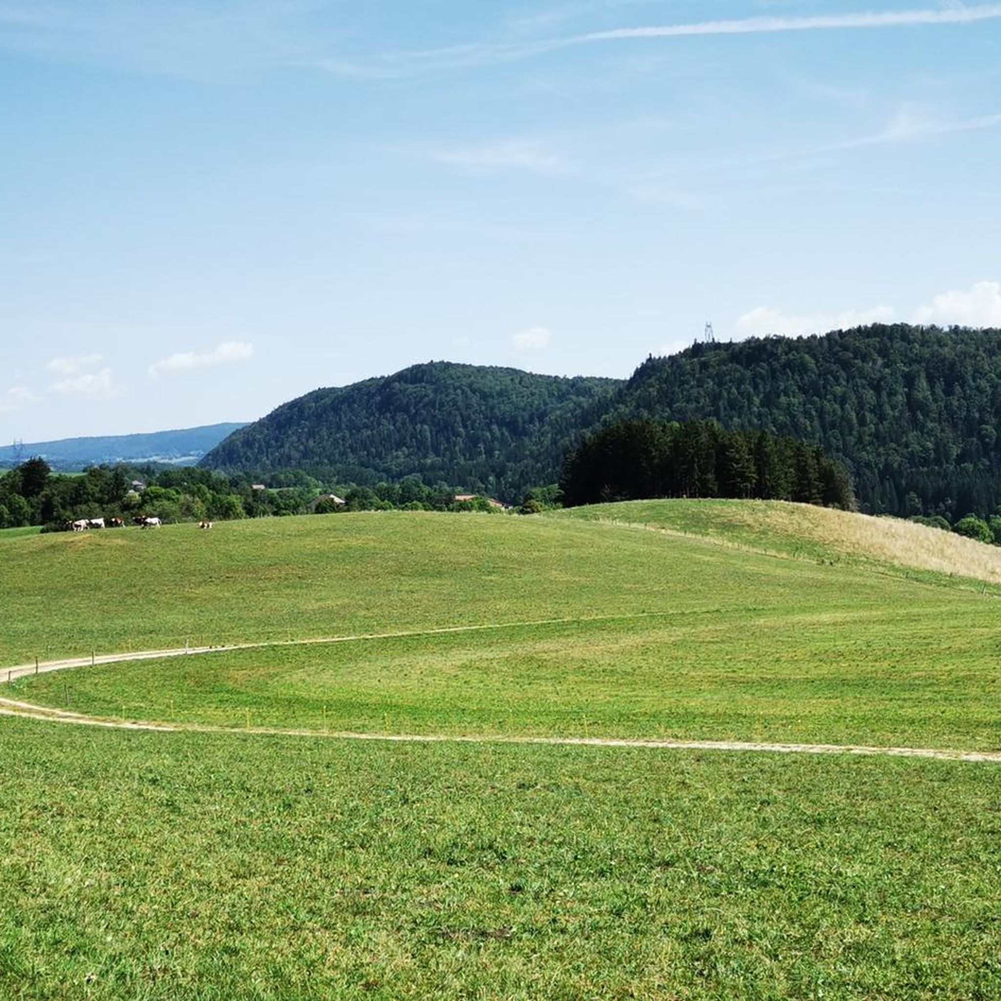
Mountaineering routes around Chaux-Des-Crotenay traverse a landscape characterized by dense forests, rolling hills, and notable waterfalls. The region, situated in the Jura mountains, features moderate elevation changes and a mix of wooded paths and open areas. Water features like the Fan Waterfall and Le Grand Saut are prominent along many trails.
Best mountaineering routes around Chaux-Des-Crotenay
- The most popular mountaineering route is Fan Waterfall – Le Grand Saut loop from La Chaux-du-Dombief, a 7.5 miles (12.0 km) trail that…
Last updated: July 3, 2026
5
hikers
12.0km
03:42
350m
350m
Moderate mountaineering route. Good fitness required. Mostly accessible paths. Sure-footedness required.
5.0
(1)
2
hikers
8.37km
02:36
210m
210m
Hard mountaineering route. Good fitness required. Sure-footedness, sturdy shoes and alpine experience required.

Sign up for free
5.0
(1)
2
hikers
9.89km
03:07
270m
270m
Hard mountaineering route. Good fitness required. Sure-footedness, sturdy shoes and alpine experience required.
Our route recommendations are based on thousands of hikes, rides, and runs completed by other people on komoot.
Start today with a free account
Your next adventure awaits.
Login or Signup
Popular around Chaux-Des-Crotenay
Other adventures around Chaux-Des-Crotenay

Tips from the Community

A superb hike with beautiful views of the seven waterfalls. It's quite crowded, so for a quieter return, you can take the GR 559 forest path back, which doesn't follow the water but is also magnificent in autumn!
0
0

A waterfall with a larger pool and a smaller cascade in a beautiful setting. In front of it is a small stone lynx statue.
6
0
Waterfall at the ruins of a former mill.
7
0
Larger waterfall Cascade Saut De La Forge with grotto and views directly onto the waterfall, as well as from above onto the water cascading down over smaller cascades.
7
0
Beautiful view near a crossroads of a small waterfall with cascades.
7
0
A beautifully situated small waterfall with a small pool. From the rocks in front of the waterfall, you can enjoy beautiful views of the idyllic natural setting.
7
0
View of the Cascade de L'Eventail. A small, rocky path leads directly to the waterfall.
7
0
Beautiful view of the central waterfall Cascade Du Hérisson with several cascades.
7
0
Frequently Asked Questions
What kind of terrain can I expect on mountaineering routes around Chaux-Des-Crotenay?
Mountaineering routes in this region traverse a landscape characterized by dense forests, rolling hills, and notable waterfalls. You'll find a mix of wooded paths and open areas, with moderate elevation changes typical of the Jura mountains.
Are there routes suitable for beginners or those looking for a moderate challenge?
Yes, there are options for various skill levels. For a moderate challenge, consider the Fan Waterfall – Le Grand Saut loop from La Chaux-du-Dombief, which is 7.5 miles (12.0 km) long and features prominent waterfalls and forested sections.
What are the typical lengths and durations of mountaineering routes in Chaux-Des-Crotenay?
The routes vary in length and duration. For example, the Fan Waterfall – Le Grand Saut loop from La Chaux-du-Dombief is about 7.5 miles (12.0 km) and takes around 3 hours 42 minutes. A more challenging option like the Le Grand Saut – Saut de la Forge loop from Bonlieu covers 5.2 miles (8.4 km) and typically takes 2 hours 36 minutes.
Are there any circular mountaineering trails available?
Yes, all the featured mountaineering routes around Chaux-Des-Crotenay are circular. This allows you to start and end your adventure at the same point, such as the Le Grand Saut – Saut de la Forge loop from La Chaux-du-Dombief.
What natural attractions can I see along the mountaineering routes?
The region is known for its impressive water features. Many routes pass by significant waterfalls like Le Grand Saut and Fan Waterfall. You might also encounter other natural monuments such as Saut Girard Waterfall or the Langouette Gorges.
What do other mountaineers enjoy most about the routes in Chaux-Des-Crotenay?
The routes in Chaux-Des-Crotenay are highly rated by the komoot community, with an average score of 5.0 stars. Reviewers often praise the dense woodlands, impressive waterfalls, and the varied terrain that offers both moderate and difficult ascents.
Is there parking available near the trailheads?
While specific parking details for each trailhead are best checked on the individual route pages, many popular starting points for trails in the Jura region, including those around Chaux-Des-Crotenay, typically offer designated parking areas in nearby villages or at key natural sites.
Are there any permits required for mountaineering in this area?
There is no indication that special permits are required for general mountaineering on the established routes around Chaux-Des-Crotenay. However, it's always advisable to check local regulations for any specific areas or activities.
When is the best time of year to go mountaineering in Chaux-Des-Crotenay?
The best time for mountaineering in Chaux-Des-Crotenay is generally from spring through autumn when the weather is milder and the trails are clear. Spring offers lush greenery and full waterfalls, while autumn provides beautiful fall foliage. Winter mountaineering is possible but requires appropriate gear and experience due to snow and ice conditions.
Are there any more challenging mountaineering options for experienced hikers?
Yes, for those seeking a more difficult challenge, the Le Grand Saut – Saut de la Forge loop from Bonlieu is a great option. This 5.2-mile (8.4 km) path offers varied terrain and views of multiple waterfalls, designed for more experienced mountaineers.
What should I know about the weather conditions when planning a trip?
The Jura mountains can experience variable weather. It's always recommended to check the local forecast before heading out. Be prepared for changing conditions, especially at higher elevations, and pack layers, waterproof gear, and sufficient water and snacks.
Most popular routes around Chaux-Des-Crotenay
Most popular attractions around Chaux-Des-Crotenay

Get inspired with the komoot mobile app


Explore more
Browse the best Mountain Hikes & Routes in other regions.
