The best walks and hikes around Laperrière-Sur-Saône
4.5
(316)
1,795
hikers
129
hikes
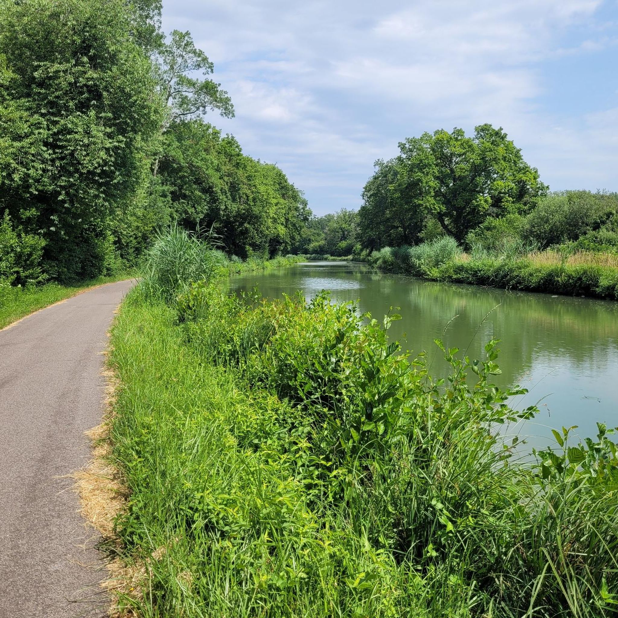
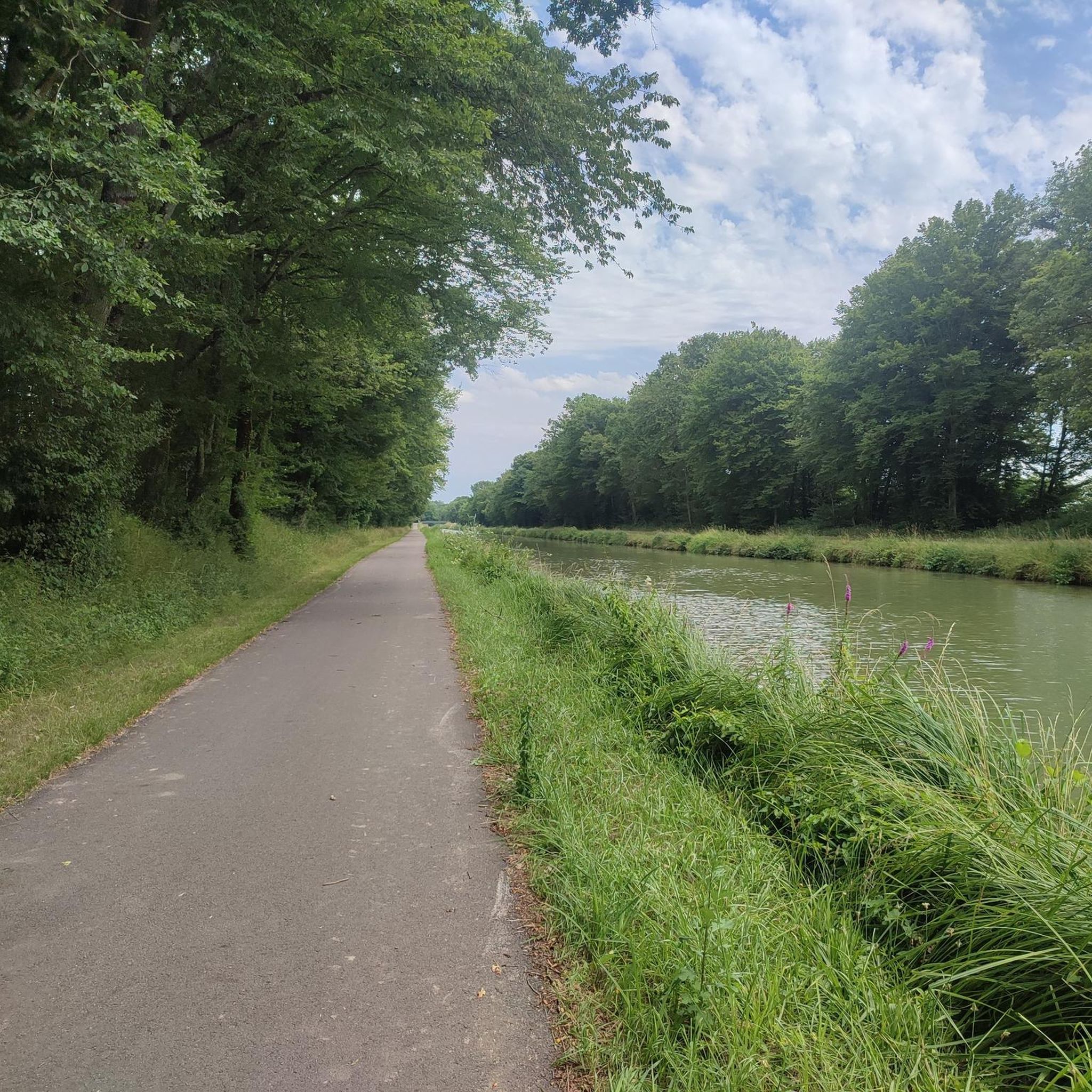
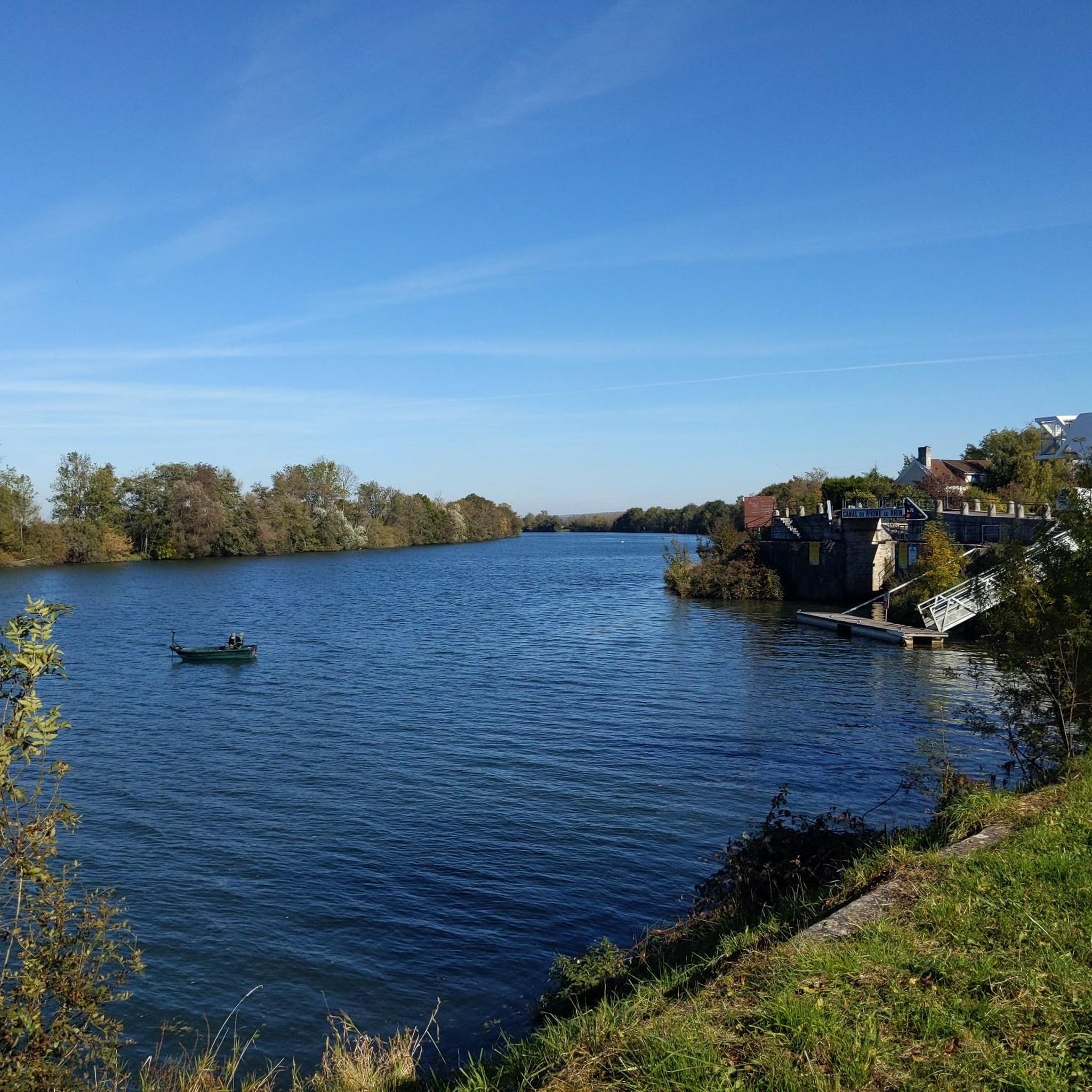
Hiking around Laperrière-Sur-Saône offers trails within the alluvial plain of the Val de Saône, characterized by well-aerated soils and wooded areas. The region's prominent natural feature is the Saône River, which forms part of the commune's north-western border, providing picturesque settings for recreation. Additionally, the Canal du Rhône au Rhin runs along the south-western edge, contributing to the tranquil waterways. Wetlands and ecological zones further enhance the natural appeal, supporting diverse fauna.
Best hiking trails around Laperrière-Sur-Saône
- The most popular…
Last updated: July 2, 2026
4.0
(1)
13
hikers
Moderate hike. Good fitness required. Easily-accessible paths. Suitable for all skill levels.
12
hikers
4.78km
01:13
20m
20m
Easy hike. Great for any fitness level. Easily-accessible paths. Suitable for all skill levels.

Sign up for free
3
hikers
2.15km
00:33
10m
10m
Easy hike. Great for any fitness level. Easily-accessible paths. Suitable for all skill levels.
4.0
(1)
5
hikers
11.7km
02:58
20m
20m
Moderate hike. Good fitness required. Easily-accessible paths. Suitable for all skill levels.
6
hikers
7.75km
01:57
10m
10m
Easy hike. Great for any fitness level. Easily-accessible paths. Suitable for all skill levels.
Get access to more routes and recommendations from other explorers.
Sign up for free
Already have an account?
Our route recommendations are based on thousands of hikes, rides, and runs completed by other people on komoot.
Start today with a free account
Your next adventure awaits.
Login or Signup
Tips from the Community

A small, nice place. Before the bridge, there is a bakery.
0
0

Originally, the Saint-Jean-de-Losne bridge was made of wood and crossed the river diagonally by road no. 27 linking Dijon to Losne. It started on the right bank, a little downstream from the current bridge, and then joined the old Seurre road. The structure was destroyed many times by floods and ice break-ups, but was always rebuilt in the same place until 1830. It was rebuilt in stone from 1833, then rebuilt again after being cut down during the war of 1870… The bridge suffered damage from the war twice more. On June 16, 1940, French engineers blew up an arch, and on September 7, 1944, the retreating Germans dynamited the rest. It was then replaced by a temporary wooden footbridge. After the liberation, the reconstruction work was put out to tender. After all these twists and turns, the bridge was finally rebuilt in the same place in 1950.
0
0
For a hiker, all locks look the same, automated or not.
1
0

A lovely spot with good food – beautiful steps down to the river. Very relaxed!
2
0


This lock is one of the few not to be automated on the canal
0
0

Nice vantage point for us cyclists 👀😉✌️
3
0
Frequently Asked Questions
What kind of terrain can I expect on hiking trails around Laperrière-Sur-Saône?
The hiking trails in this region are primarily located within the alluvial plain of the Val de Saône. You'll find well-aerated soils, often composed of pebbles, limestone, and clay, alongside wooded areas and numerous small canals. The prominent natural features are the Saône River and the Canal du Rhône au Rhin, offering mostly flat, riverside paths.
How many hiking trails are available in the Laperrière-Sur-Saône area?
There are over 120 hiking trails available around Laperrière-Sur-Saône. These routes cater to various preferences, ranging from easy riverside strolls to more moderate loops through the local landscape.
Are there any easy hiking routes suitable for beginners or casual walkers?
Yes, Laperrière-Sur-Saône offers many easy routes. For example, the Pont St-Jean-de-Losne – Lock loop from Saint-Jean-de-Losne is an easy 2.7-mile path that follows the river and canal, providing a gentle walk. Another option is the Port of Saint-Jean-de-Losne – Lock loop from Saint-Usage, a shorter 1.6-mile trail through riverside landscapes.
What are the difficulty levels of the hiking trails in this region?
The trails around Laperrière-Sur-Saône are predominantly easy to moderate. Out of over 120 routes, 69 are classified as easy, 50 as moderate, and only one as difficult, making the area accessible for most hikers.
Are there any circular walking routes in Laperrière-Sur-Saône?
Yes, many routes in the area are circular. A popular moderate option is the Saint-Jean-de-Losne Bridge loop from Saint-Jean-de-Losne, which is 5.5 miles long and offers views along the Saône River. For a longer moderate option, consider the Lock loop from Saint-Jean-de-Losne, spanning over 7 miles.
What natural features or landmarks can I expect to see along the trails?
The region is defined by the Saône River and the Canal du Rhône au Rhin. You'll encounter picturesque riverbanks, wetlands, and wooded areas. Notable landmarks nearby include the charming town of Saint-Jean-de-Losne, the Dole Lock on the Rhine-Rhône Canal, and the Port of Saint-Jean-de-Losne.
Is Laperrière-Sur-Saône a good destination for family-friendly hikes?
Absolutely. With a large number of easy trails and gentle terrain along the river and canal, Laperrière-Sur-Saône is well-suited for family outings. The 'Voie Bleue' path along the Saône is particularly pleasant for walking with children.
What do other hikers say about the trails in Laperrière-Sur-Saône?
The area is highly rated by the komoot community, with an average score of 4.5 stars from over 200 reviews. Hikers often praise the tranquil riverside settings, the well-maintained paths, and the opportunities to observe diverse wildlife, especially birds in the wetlands.
Are there specific trails known for wildlife spotting?
Yes, the region's wetlands and ecological zones, such as 'Etang du Milieu', support diverse fauna, particularly birds. The 'Lock Trail' along the Saône is known for opportunities to spot herons, while the 'Deer Trail' in Chivres offers a chance to see deer near a lake.
What is the best time of year to go hiking in Laperrière-Sur-Saône?
The trails are generally accessible year-round, though the 'Lock Trail' might be affected by very high water levels. Spring and autumn offer pleasant temperatures and beautiful scenery, while summer provides lush greenery and opportunities for other water-based activities on the Saône.
Are there any trails that incorporate historical elements or unique themes?
Yes, the 'Anne-Marie Javouhey Trail' traverses villages, fields, and forests, and notably incorporates 'remembrance forests,' adding a historical dimension to your walk.
Where can I find more information about the local area and other activities?
For more details on local activities, including other outdoor options like cycling and water sports, you can visit the Rives de Saône tourism office website. For example, specific information about the Lock Trail can be found here, and the Anne-Marie Javouhey Trail here.
Most popular routes around Laperrière-Sur-Saône
Most popular attractions around Laperrière-Sur-Saône

Get inspired with the komoot mobile app


Explore more
Browse the best Hikes in other regions.
