
The best running trails around Bouxières-Aux-Bois
4.7
(32)
3,166
runners
186
runs
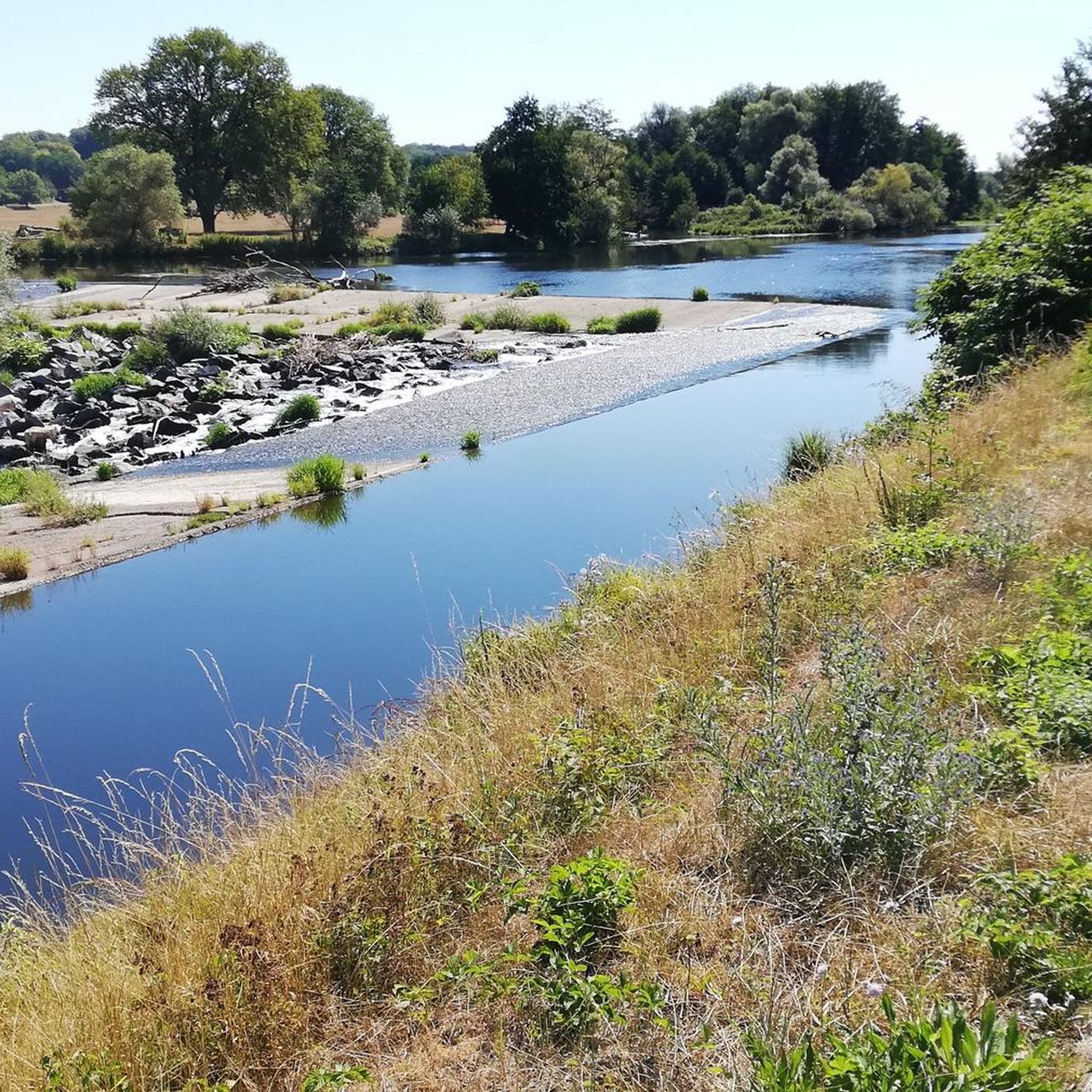
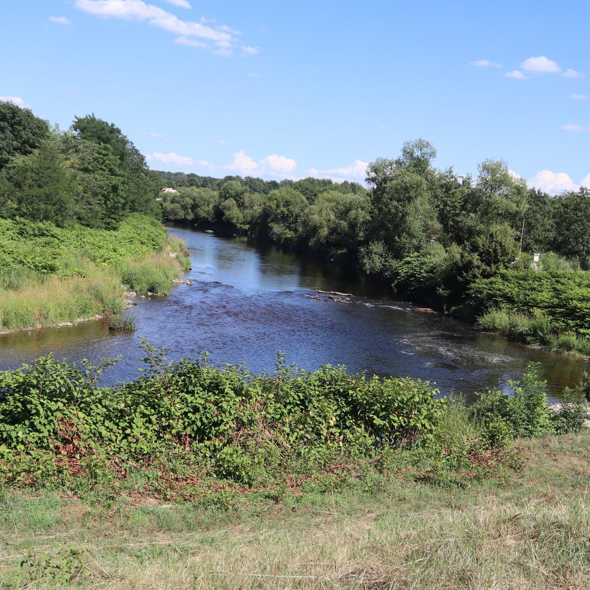
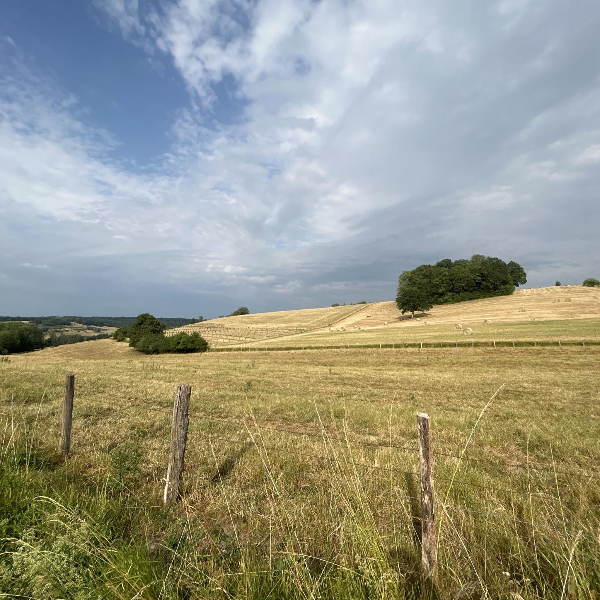
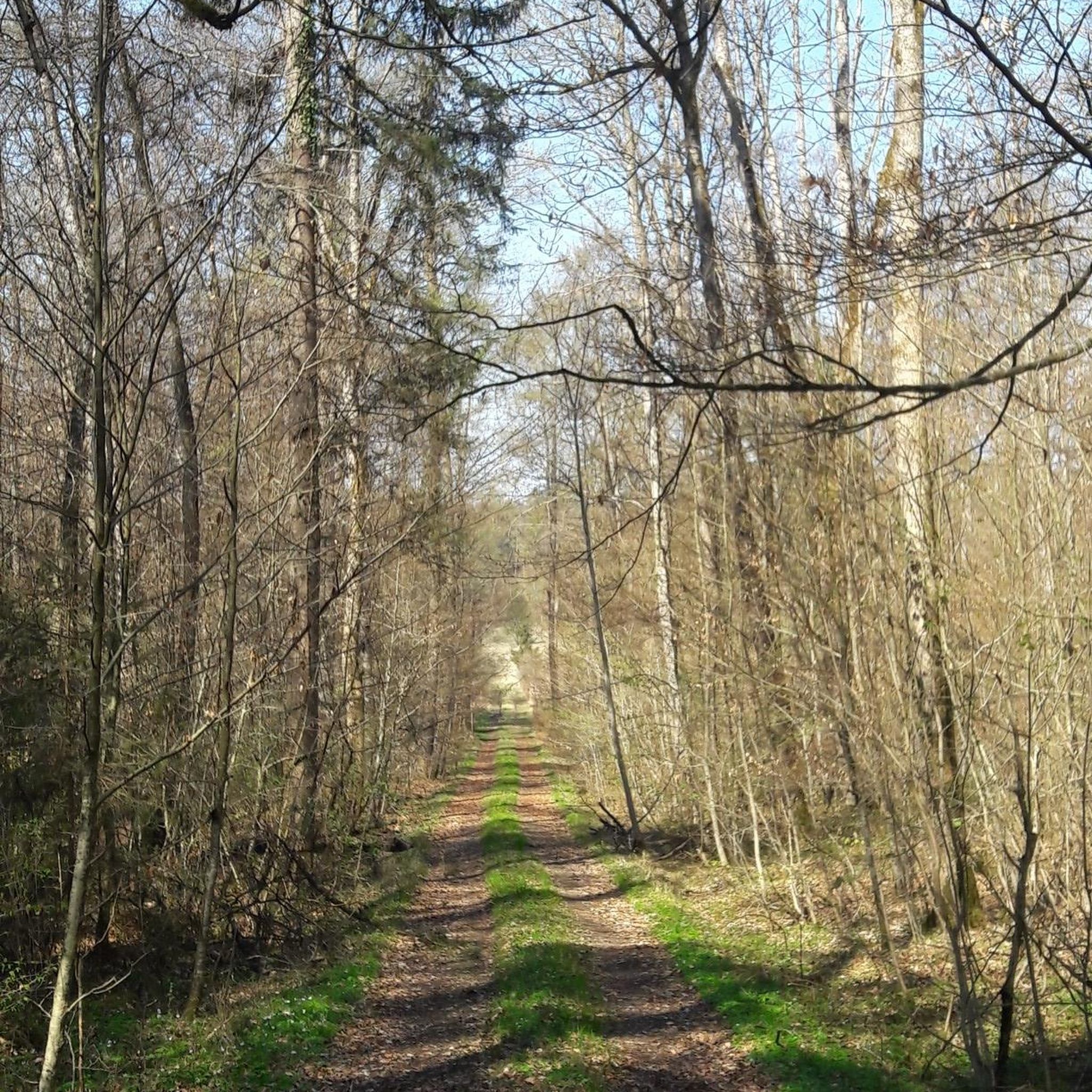
Jogging routes around Bouxières-Aux-Bois traverse the diverse natural environment of the Grand Est region, characterized by dense forests and varied hilly terrain. The area offers a network of trails suitable for different fitness levels, often leading through natural viewpoints. These routes provide opportunities to explore the region's landscape, which includes forests, valleys, and waterways.
Best jogging routes around Bouxières-Aux-Bois
- The most popular jogging route is Running loop from Frizon, a 6.7 miles (10.8 km) trail that takes 1 hour…
Last updated: July 5, 2026
4
runners
9.21km
00:58
110m
110m
Moderate run. Good fitness required. Mostly paved surfaces. Suitable for all skill levels.
4
runners
10.8km
01:08
110m
110m
Moderate run. Good fitness required. Mostly paved surfaces. Suitable for all skill levels.

Sign up for free
4
runners
10.5km
01:06
120m
120m
Moderate run. Good fitness required. Mostly paved surfaces. Suitable for all skill levels.
4
runners
6.63km
00:45
80m
80m
Moderate run. Good fitness required. Mostly paved surfaces. Suitable for all skill levels.
3
runners
6.40km
00:43
100m
100m
Moderate run. Good fitness required. Mostly paved surfaces. Suitable for all skill levels.
Get access to more routes and recommendations from other explorers.
Sign up for free
Already have an account?
Our route recommendations are based on thousands of hikes, rides, and runs completed by other people on komoot.
Start today with a free account
Your next adventure awaits.
Login or Signup

Frequently Asked Questions
What kind of terrain can I expect on running routes around Bouxières-Aux-Bois?
The running routes in the Bouxières-Aux-Bois area are characterized by a diverse natural environment, featuring dense forests and varied hilly terrain. You'll encounter a mix of forest paths, open sections, valleys, and waterways, providing a dynamic experience for runners.
How many running trails are available around Bouxières-Aux-Bois?
There are over 160 running routes available around Bouxières-Aux-Bois. These trails cater to various fitness levels, from easy jogs to more challenging runs through the region's diverse landscapes.
What do other runners enjoy most about jogging in Bouxières-Aux-Bois?
The running routes in Bouxières-Aux-Bois are highly rated by the komoot community, with an average score of 4.6 stars from over 20 reviews. Runners frequently praise the varied terrain, the quiet woodlands, and the natural viewpoints found along the trails.
Are there any easy running routes suitable for beginners or a relaxed jog?
Yes, Bouxières-Aux-Bois offers a selection of easy running routes perfect for beginners or those seeking a relaxed jog. There are 21 easy routes available, providing gentle elevation changes and pleasant scenery.
Can I find circular running routes in the area?
Absolutely. Many of the running routes around Bouxières-Aux-Bois are designed as loops, allowing you to start and finish at the same point. For example, the Running loop from Bouxières-aux-Bois is a moderate 6.6 km circular path.
Are there any running routes that pass by interesting landmarks or scenic viewpoints?
While specific viewpoints are integrated into many routes, the region around Bouxières-Aux-Bois offers several notable attractions. You might find routes near the Châtel-sur-Moselle Fortress or the tranquil Bouzey Reservoir, which are great for extending your exploration after a run.
Which running route is a good option for a moderate challenge?
For a moderate challenge, consider the Running loop from Madegney. This route covers approximately 6.5 km with an elevation gain of over 100 meters, offering a good workout through varied terrain.
Are the running trails around Bouxières-Aux-Bois suitable for families?
Many of the trails, especially the easier ones, are suitable for families. The diverse natural environment and varied terrain offer engaging experiences. Look for routes with lower difficulty grades for a comfortable family outing.
What is the best time of year to go running in Bouxières-Aux-Bois?
The Grand Est region, including Bouxières-Aux-Bois, offers pleasant running conditions through much of the year. Spring and autumn provide mild temperatures and beautiful scenery with changing foliage. Summer is also popular, though it's advisable to run in the mornings or evenings to avoid the midday heat. Winter running is possible, but trails might be muddy or icy, especially in forested areas.
Are there any running routes that are less crowded?
While popular routes like the Running loop from Frizon attract many, the extensive network of over 160 trails means you can often find quieter paths. Exploring some of the less-trafficked routes or running during off-peak hours can provide a more serene experience.
Can I find running routes with parking facilities nearby?
Many running routes in the Bouxières-Aux-Bois area start from villages or accessible points where parking is typically available. While specific parking details vary by starting point, it's generally feasible to find parking close to the trailheads, especially in smaller communes.
Are there any longer running routes for endurance training?
Yes, for those looking for longer distances, routes like the Running loop from Saint-Vallier offer a substantial challenge. This route is approximately 10.5 km long with over 100 meters of elevation gain, making it suitable for endurance training.
Most popular routes around Bouxières-Aux-Bois
Most popular attractions around Bouxières-Aux-Bois

Get inspired with the komoot mobile app


Explore more
Browse the best Running Trails & Routes in other regions.
