The best walks and hikes around Le Mont-Saint-Adrien
4.4
(102)
597
hikers
76
hikes
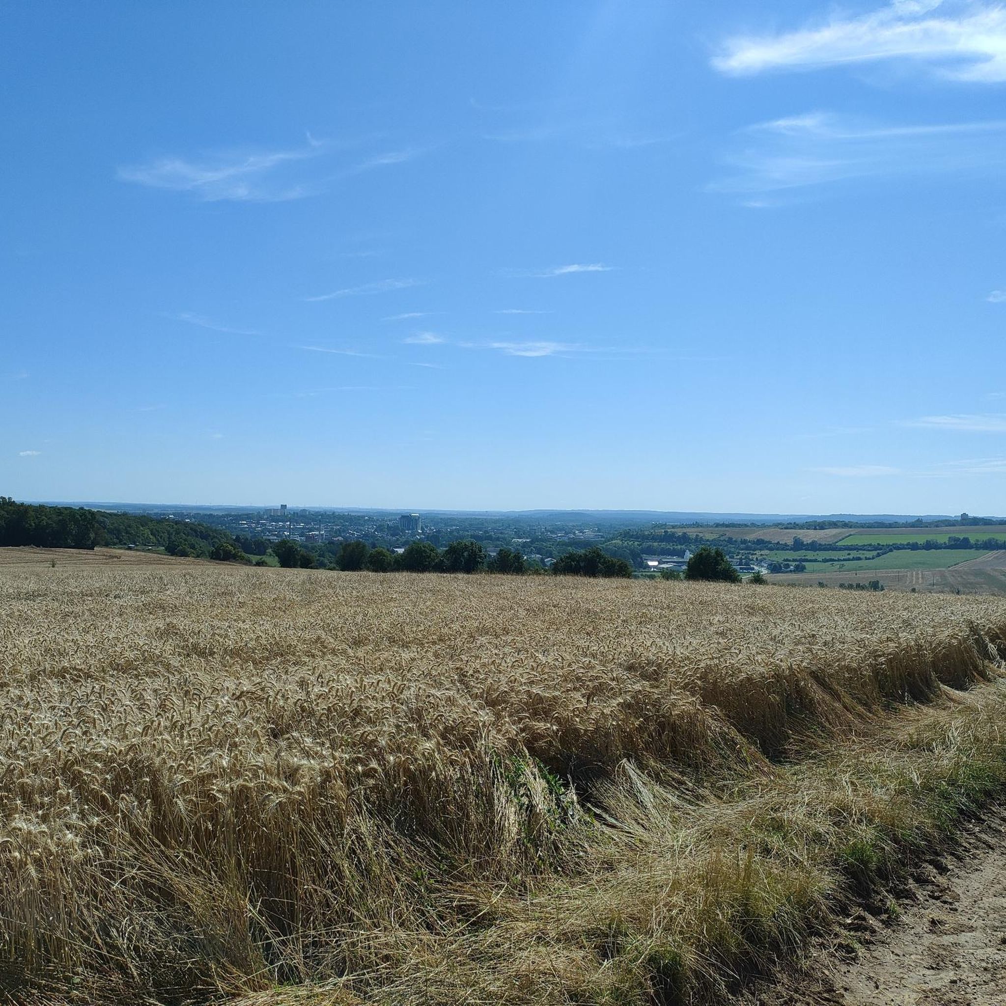
Hiking around Le Mont-Saint-Adrien offers diverse landscapes across a chalky plateau, with altitudes ranging from 89 to 173 meters. The region is characterized by tranquil bocages, expansive countryside paths, and significant forested areas like the Forêt du Parc Saint-Quentin. Many hiking trails feature gentle slopes and varied terrain, making them accessible for different fitness levels. This area provides a blend of natural beauty and proximity to historical towns.
Best hiking trails around Le Mont-Saint-Adrien
- The most popular hiking route is…
Last updated: July 5, 2026
4.8
(6)
147
hikers
3.22km
00:49
10m
10m
Easy hike. Great for any fitness level. Easily-accessible paths. Suitable for all skill levels.
5.0
(3)
53
hikers
10.2km
02:35
20m
20m
Moderate hike. Good fitness required. Easily-accessible paths. Suitable for all skill levels.

Sign up for free
4.6
(7)
22
hikers
8.47km
02:21
150m
150m
Moderate hike. Good fitness required. Easily-accessible paths. Suitable for all skill levels.
3.5
(4)
11
hikers
9.72km
02:38
140m
140m
Moderate hike. Good fitness required. Easily-accessible paths. Suitable for all skill levels.
3.5
(4)
7
hikers
10.1km
02:45
150m
150m
Moderate hike. Good fitness required. Easily-accessible paths. Suitable for all skill levels.
Get access to more routes and recommendations from other explorers.
Sign up for free
Already have an account?
Our route recommendations are based on thousands of hikes, rides, and runs completed by other people on komoot.
Start today with a free account
Your next adventure awaits.
Login or Signup



Tips from the Community

Leaving Beauvais to the northwest, along the road and then the cycle path of the Saint-Quentin marsh, you quickly arrive at the superb lake of Canada. It offers three kilometers of banks and is ideal for swimming in summer.
0
0
Leaving Beauvais to the northwest, the street and then the cycle path of the Saint-Quentin marsh, you quickly arrive at the superb body of water of Canada. It offers three kilometers of banks and a call for swimming in summer.
0
0

Canada's Body of Water is an artificial lake that offers a variety of activities, such as swimming, sailing, fishing and cycling. You can also enjoy the sandy beach, green park and Cariwood amusement park. It is also an official preparation center for the Olympic and Paralympic Games.
2
0
Canada's body of water is an artificial lake surrounded by nature. You can walk along the 3 kilometer trail that runs along the shore and enjoy views of the water and wildlife.
5
0

Tasting and snack by appointment
0
0

C good and there are passages under trees c good since there is a heat wave
0
0
Frequently Asked Questions
How many hiking trails are available around Le Mont-Saint-Adrien?
There are over 90 hiking trails in the Le Mont-Saint-Adrien area, offering a wide range of options for different preferences and fitness levels. These include easy walks and more moderate excursions through varied landscapes.
What kind of terrain can I expect on hikes near Le Mont-Saint-Adrien?
The terrain around Le Mont-Saint-Adrien is quite diverse, ranging from tranquil bocages and expansive countryside paths with panoramic views to significant forested areas like the Forêt du Parc Saint-Quentin and the Forêt de Thelle. Many routes feature gentle slopes, making them accessible for a wide range of hikers.
Are there family-friendly hiking options in the area?
Yes, many routes in the region are suitable for families, particularly those with little elevation change. For example, the area around Blacourt offers loops described as family-friendly, though some sections might be muddy after rain. The Plan d'Eau du Canada loop from Fouquenies is an easy, shorter option.
Are there any circular hiking routes available?
Yes, the region offers numerous circular routes. Many trails are designed as loops starting from nearby villages like Savignies, Blacourt, and Milly-sur-Thérain. Examples include the Miellerie de Savignies loop from Savignies and the Miellerie de Savignies – Calm water loop from Saint-Germain-la-Poterie.
What are the notable landmarks or attractions I might see while hiking?
While hiking, you can explore the natural beauty of the bocages and forests. Beyond the trails, the region is close to historical towns. Beauvais, just 7 km away, features impressive medieval architecture, including the Gothic Beauvais Cathedral and the Saint Peter's Cathedral of Beauvais. Gerberoy, a designated 'Most Beautiful Village,' is also within reach.
What do other hikers enjoy most about the trails around Le Mont-Saint-Adrien?
The trails around Le Mont-Saint-Adrien are highly rated by the komoot community, with an average score of 4.5 stars. Hikers frequently praise the tranquil countryside, diverse forests, and the gentle terrain that makes the routes accessible. The well-maintained network of paths is also a common highlight.
Is it possible to access hiking trails using public transport?
While specific public transport links directly to trailheads can vary, Le Mont-Saint-Adrien is situated near Beauvais, which serves as a regional hub. From Beauvais, local bus services or short taxi rides might connect you to villages where many hiking loops begin. It's advisable to check local transport schedules for specific starting points.
Are there any easy hiking routes for beginners or those seeking a relaxed walk?
Yes, the area is well-suited for easy hikes due to its generally gentle slopes. Many routes in the Pays de Bray, for instance, have little elevation change. The Plan d'Eau du Canada loop from Fouquenies is an easy 3.2 km trail that takes less than an hour to complete.
What is the best time of year to go hiking in Le Mont-Saint-Adrien?
The region offers pleasant hiking conditions throughout much of the year. Spring and autumn provide comfortable temperatures and beautiful scenery, with blooming flowers or vibrant fall foliage. Summer is also suitable, especially for shaded forest trails. Winter hiking is possible, but some paths might be muddy after rain, particularly in family-friendly sections.
Are dogs allowed on the hiking trails?
Generally, dogs are welcome on many of the hiking trails in the Le Mont-Saint-Adrien area, especially on countryside paths and through forests. However, it's always recommended to keep them on a leash, particularly in agricultural areas or near wildlife, and to respect local regulations that might apply to specific nature reserves or private lands.
Where can I find parking for hiking trails?
Many hiking routes in the region start from villages like Savignies, Blacourt, Milly-sur-Thérain, or Fouquenies. These villages typically offer public parking areas, often near churches, town halls, or designated trailheads. It's usually straightforward to find parking close to the starting points of popular loops.
Most popular routes around Le Mont-Saint-Adrien
Most popular attractions around Le Mont-Saint-Adrien

Get inspired with the komoot mobile app


Explore more
Browse the best Hikes in other regions.
