The best walks and hikes around Bretenières
4.3
(35)
129
hikers
27
hikes
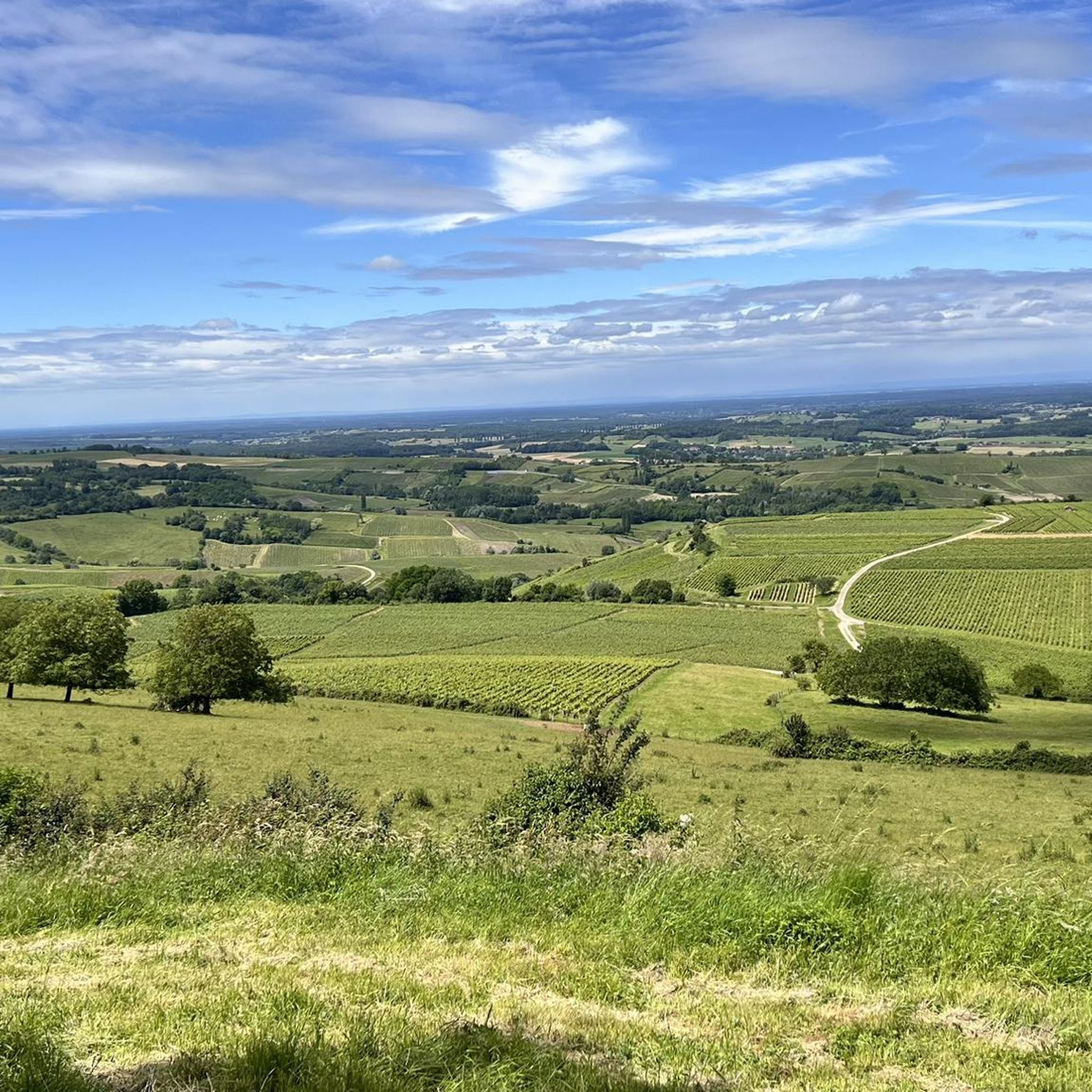
Hiking around Bretenières offers exploration through a diverse natural landscape in the Jura region of France. The area features hilly terrain, characterized by lush forests, verdant meadows, and paths alongside sparkling rivers. The landscape transitions from gentle hills to the foothills of the Revermont, with vineyards present in some areas. This varied topography provides a range of scenic backdrops for outdoor activities.
Best hiking trails around Bretenières
- The most popular hiking route is Étang Neuf – Watercress Pond loop from…
Last updated: July 6, 2026
4.4
(19)
47
hikers
7.10km
01:50
40m
40m
Easy hike. Great for any fitness level. Easily-accessible paths. Suitable for all skill levels.
3.8
(5)
13
hikers
4.52km
01:10
20m
20m
Easy hike. Great for any fitness level. Easily-accessible paths. Suitable for all skill levels.

Sign up for free
5.0
(1)
9
hikers
12.7km
03:16
60m
60m
Moderate hike. Good fitness required. Easily-accessible paths. Suitable for all skill levels.
5.0
(1)
6
hikers
3.91km
01:02
30m
30m
Easy hike. Great for any fitness level. Easily-accessible paths. Suitable for all skill levels.
5.0
(1)
7
hikers
10.8km
02:48
50m
50m
Moderate hike. Good fitness required. Easily-accessible paths. Suitable for all skill levels.
Get access to more routes and recommendations from other explorers.
Sign up for free
Already have an account?
Our route recommendations are based on thousands of hikes, rides, and runs completed by other people on komoot.
Start today with a free account
Your next adventure awaits.
Login or Signup


Tips from the Community

Maison des Étangs, before it was a railway station. The house of ponds is the starting point for several hiking trails in the Bresse-Revermont Community of Communes. This place has become a gîte that can accommodate 36 people. More info here: http://www.bresse-revermont.com/decouvert/la-maison-des-etangs.html
0
0

Frequently Asked Questions
What kind of terrain can I expect on hikes around Bretenières?
Hiking around Bretenières primarily features hilly terrain, characterized by lush forests and verdant meadows. The landscape transitions from the gentle hills of the Bresse Jurassienne to the first foothills of the Revermont, offering varied and scenic backdrops for your outdoor adventures.
How many hiking trails are available in the Bretenières area?
There are over 25 hiking trails around Bretenières, catering to various fitness levels. You'll find a good mix of easy and moderate routes to explore the region's diverse natural beauty.
Are there any easy, family-friendly hikes in Bretenières?
Yes, Bretenières offers several easy trails perfect for families. For instance, the Étang Neuf – Watercress Pond loop from Les Deux-Fays is an easy 7.1 km route that takes about 1 hour 50 minutes, exploring the area's ponds and natural environment. Another gentle option is the Jacquot Trail loop from Les Deux-Fays, a 3.9 km trail through forested areas.
What are some moderate hiking options for more experienced hikers?
For those seeking a moderate challenge, consider the Maison des Étangs – Jacquot Trail loop from Les Deux-Fays, which is a 10.8 km route. Another moderate option is the Maison des Étangs loop from Pleure, covering 10.1 km and offering beautiful scenery.
Are there any notable natural features or attractions to see while hiking?
Absolutely! The region is rich in natural beauty. You can explore dramatic gorges and waterfalls, such as the Nozon Gorge Trail or the Cascade du Dard near Romainmôtier. The Orbe River Tunnels and Orbe Gorge also present unique natural wonders. Additionally, the Ain River provides opportunities for refreshing breaks, and strategic viewpoints throughout the area offer breathtaking panoramas.
What do other hikers say about the trails in Bretenières?
The hiking routes in Bretenières are highly regarded by the komoot community, with an average score of 4.2 stars from over 30 reviews. Hikers often praise the varied terrain, lush forests, and well-maintained paths that make for an enjoyable outdoor experience.
Are there any specific points of interest or landmarks near the hiking trails?
Yes, several interesting points are accessible. You can visit the Maison des Étangs, which is a central feature for some routes. Additionally, the area features sections of the Voie de la Bresse Jurassienne, such as Voie de la Bresse Jurassienne at Gatey, offering glimpses of local infrastructure and landscapes.
Can I expect to see any wildlife during my hike?
The natural habitats around Bretenières provide opportunities to observe local wildlife. Hikers occasionally spot animals such as deer and wild boar in their natural environment, adding an element of wilderness to your outdoor adventures.
Are there any circular hiking routes available?
Many of the trails around Bretenières are designed as loops, allowing you to start and end at the same point. Examples include the Étang Neuf – Watercress Pond loop from Les Deux-Fays and the Maison des Étangs loop from Pleure, providing convenient options for your hike.
What is the best time of year to go hiking in Bretenières?
The temperate climate of the Jura region ensures a unique experience throughout the year. Spring brings wildflowers, autumn offers vibrant foliage, and winter transforms the landscape into a snow-covered wonderland. Each season provides a distinct atmosphere for hiking, so the 'best' time depends on your preference for scenery and conditions.
Are there any long-distance hiking opportunities in the wider Bretenières region?
While the immediate Bretenières area offers trails up to around 10-16 km, the wider Jura region is home to more extensive routes. For example, the GRP of the Bresse Comtoise is a significant country hike spanning over 100 km, traversing the Bresse Jurassienne and the foothills of the Revermont, offering a blend of natural sites and cultural discoveries for multi-day adventurers.
Most popular attractions around Bretenières

Get inspired with the komoot mobile app


Explore more
Browse the best Hikes in other regions.
