The best road cycling routes around Saint-Orens-De-Gameville
4.3
(1069)
22,215
riders
836
rides
Road cycling routes around Saint-Orens-De-Gameville are characterized by gently rolling hills and varied topography, with altitudes ranging between 144 and 219 meters. The region features extensive agricultural zones with fields of wheat, rapeseed, and sunflowers, providing a picturesque countryside backdrop. Cyclists can also access the scenic paths along the Canal du Midi and enjoy views of the Lauragais region, Montagne Noire, and on clear days, the Pyrenees. This blend of urban proximity and rural charm offers diverse terrain for road…
Last updated: July 10, 2026
5.0
(1)
61
riders
56.2km
02:27
510m
510m
Moderate road ride. Good fitness required. Mostly well-paved surfaces and easy to ride.
5.0
(3)
60
riders
29.7km
01:14
110m
110m
Easy road ride. Great for any fitness level. Mostly well-paved surfaces and easy to ride.

Sign up for free
3.0
(1)
50
riders
86.1km
03:37
620m
620m
Moderate road ride. Good fitness required. Mostly well-paved surfaces and easy to ride.
5.0
(2)
44
riders
71.2km
03:08
680m
680m
Moderate road ride. Good fitness required. Mostly well-paved surfaces and easy to ride.
33
riders
Moderate road ride. Good fitness required. Mostly well-paved surfaces and easy to ride.
Get access to more routes and recommendations from other explorers.
Sign up for free
Already have an account?
Our route recommendations are based on thousands of hikes, rides, and runs completed by other people on komoot.
Start today with a free account
Your next adventure awaits.
Login or Signup
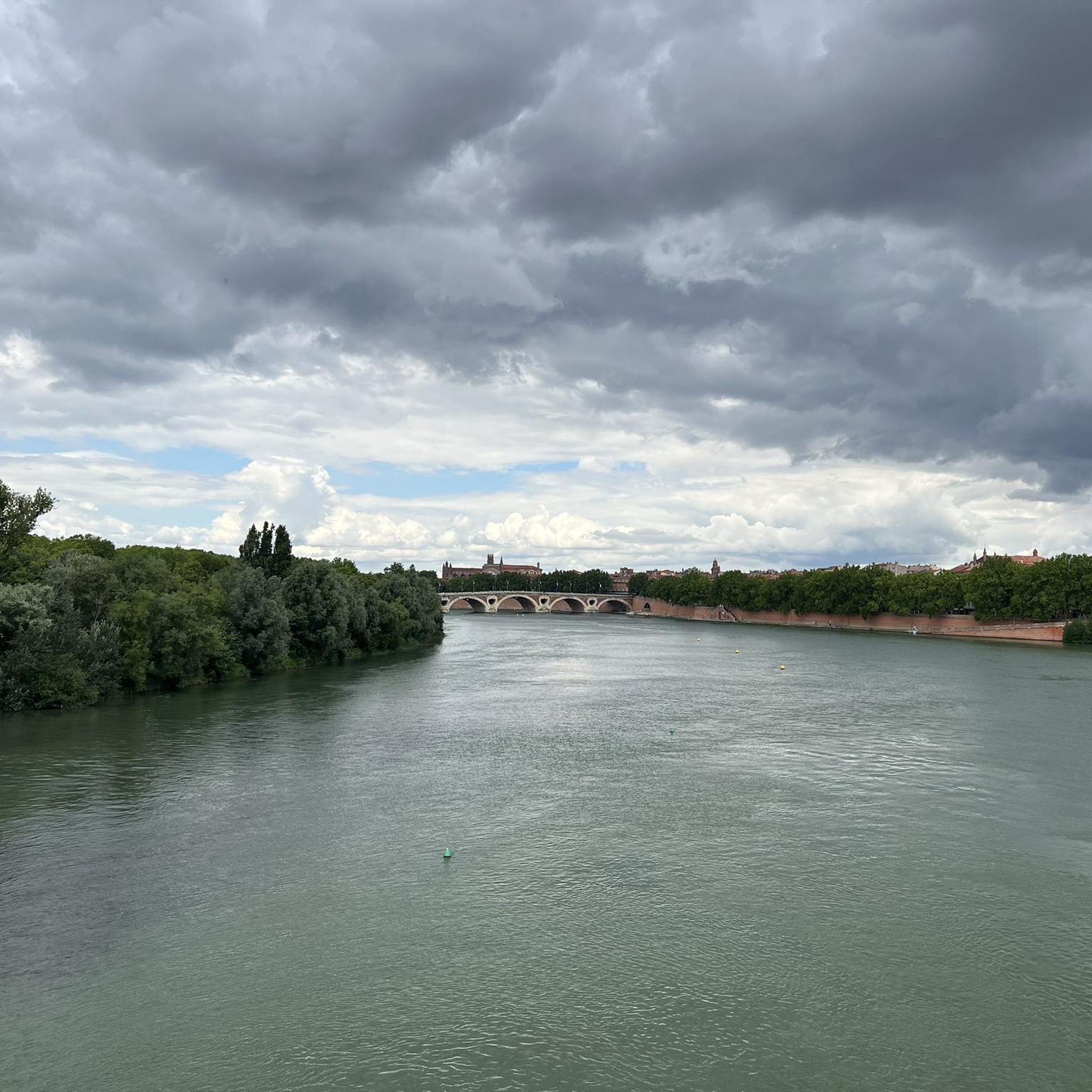
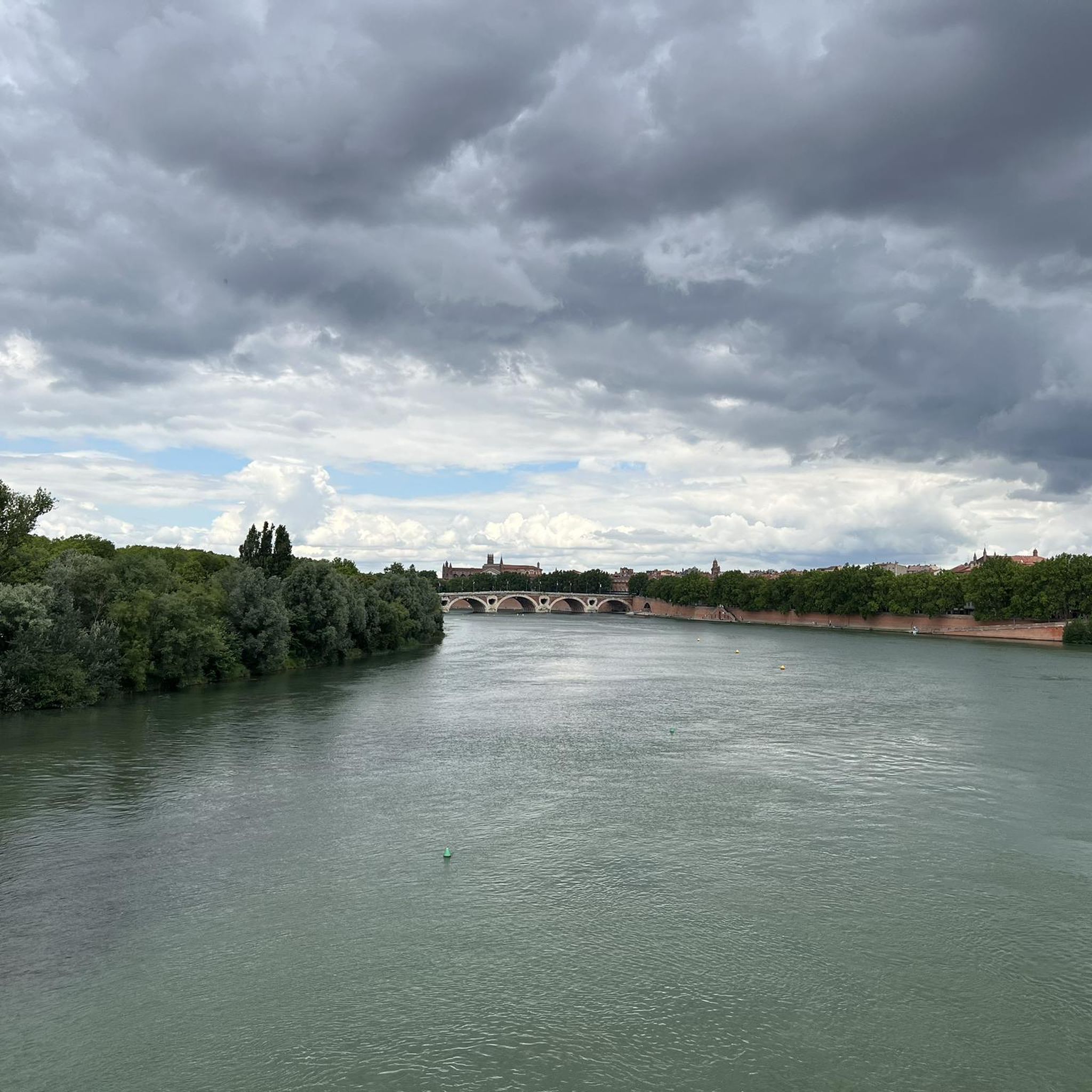
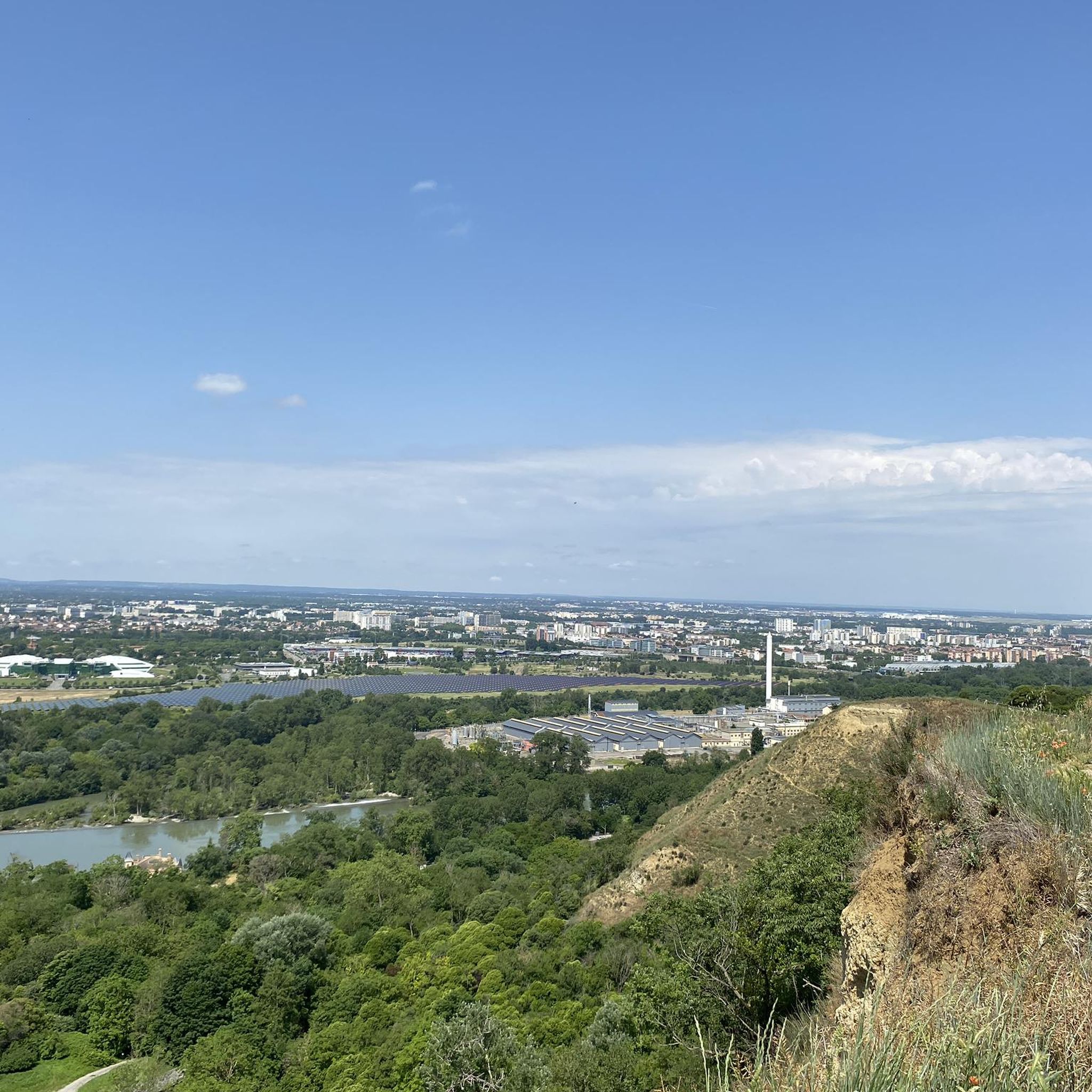

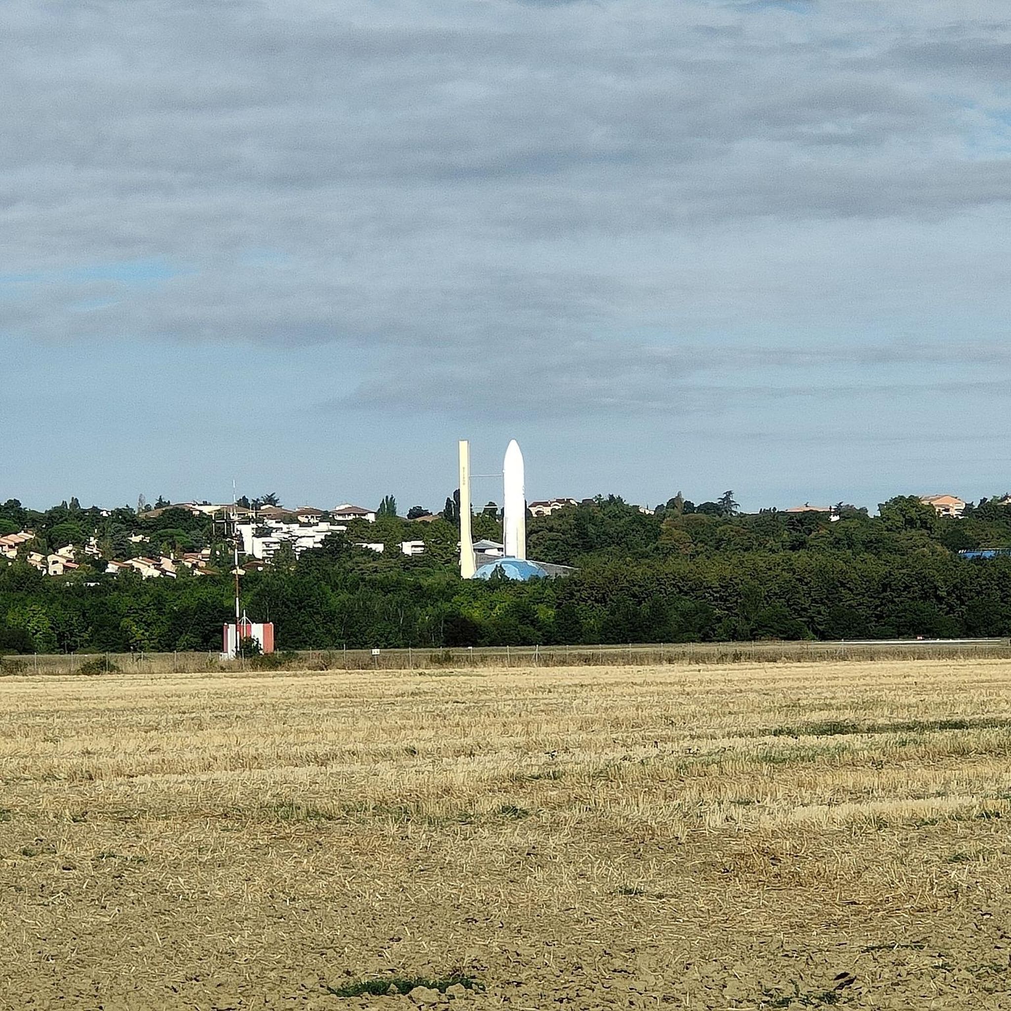
Tips from the Community

Pleasant and easy route following the Canal du Midi. Avoid in strong E/SE wind. Recommended for hybrid / mountain bikes.
1
0

Directly in front of the Matabiau train station stands the name in bright red letters, "TOULOUSE".
1
0

A large square with cafes and a nice atmosphere.
1
0

This bridge is representative of the structures created by Pierre-Paul Riquet during the construction of the Canal du Midi at the end of the 17th century. Its semicircular arch forms a perfect half-circle. It is typical of the structures found along the entire length of the canal. Its construction method, dimensions, and the use of local materials represent a standardization that contributes to the canal's unique character. Red brick is the emblematic material of the Toulouse plain. This bridge, located in the municipalities of Deyme and Pompertuzat, has been listed as a historical monument since 1998.
0
0

It is absolutely essential to notify the Toulouse town hall, highway department.
1
0

The Place des Carmes is one of the most beautiful squares in Toulouse. Today, there's nothing remarkable about this square, but in the past, from the 13th to the 19th century, it was home to a church and monastery of the monks of the Order of Mount Carmel, or the Grande Carmelites. It's no coincidence, then, that the square and the metro station located here are named after it.
0
0
Frequently Asked Questions
How many road cycling routes are available around Saint-Orens-De-Gameville?
There are nearly 900 road cycling routes available around Saint-Orens-De-Gameville. These routes cater to various skill levels, with a significant number of moderate options, as well as easy and difficult trails.
What kind of terrain can I expect on road cycling routes in this region?
The region is characterized by gently rolling hills and varied topography, with altitudes ranging between 144 and 219 meters. You'll find extensive agricultural zones with fields of wheat, rapeseed, and sunflowers, providing a picturesque countryside backdrop. The nearby Lauragais region offers more undulating hills and panoramic views.
Are there any easy road cycling routes suitable for beginners or families?
Yes, there are over 130 easy road cycling routes. A great option for a relaxed ride is the Castanet Lock – Canal du Midi loop from Labège-Village, which offers flat, scenic riding along the historic Canal du Midi. Another easy route is the Canal du Midi – The Capitole of Toulouse loop from Quint-Fonsegrives.
What scenic landmarks or points of interest can I see while cycling?
Many routes offer views of the picturesque agricultural landscapes and the Lauragais region. You can also cycle along the historic Canal du Midi, a UNESCO World Heritage site, and pass by landmarks like the Castanet Lock or the charming Brick Bridge on the Canal du Midi at Pompertuzat. For urban sights, some routes extend towards Toulouse, offering views of the Capitole Square.
Can I cycle along the Canal du Midi from Saint-Orens-De-Gameville?
Absolutely. The Canal du Midi is a major highlight for cyclists in the area. It offers beautiful, flat cycling paths along its banks, perfect for relaxed rides. Routes like the Castanet Lock – Canal du Midi loop or the Canal du Midi – Castanet Lock loop directly incorporate sections of this iconic waterway, allowing you to enjoy the scenic Canal du Midi Pathway.
What is the best time of year for road cycling in Saint-Orens-De-Gameville?
The spring and autumn months are generally ideal for road cycling in Saint-Orens-De-Gameville. During these seasons, the weather is typically mild and pleasant, with less extreme heat than summer and fewer cold days than winter. Spring brings blooming agricultural fields, while autumn offers beautiful colors in the landscape.
Are there routes with significant climbs for more experienced cyclists?
Yes, while the immediate area features gently rolling hills, routes extending into the Lauragais region and the Coteaux Toulousains offer more varied gradients and cumulative ascents. For example, the Caraman loop from Labège-Innopole includes over 500 meters of elevation gain, providing a good challenge for experienced riders.
How do other cyclists rate the routes in Saint-Orens-De-Gameville?
The road cycling routes around Saint-Orens-De-Gameville are highly rated by the komoot community, with an average score of 4.3 stars from over 1000 reviews. Cyclists often praise the varied terrain, the picturesque agricultural landscapes, and the accessibility of the Canal du Midi paths.
Are there any circular road cycling routes available?
Yes, many of the road cycling routes around Saint-Orens-De-Gameville are designed as loops, allowing you to start and finish in the same location. Examples include the Old Labège – Sainte-Foy Church loop and the Castanet Lock – Canal du Midi loop.
Is it possible to access road cycling routes using public transport from Saint-Orens-De-Gameville?
Saint-Orens-De-Gameville is well-connected to the Toulouse metropolitan area. While specific policies for bikes on public transport (like Tisséo buses or metro) can vary, it's often possible to reach starting points of routes in nearby communes via public transport. It's advisable to check the latest regulations with the local transport provider for carrying bikes.
Where can I find parking for road cycling routes in the area?
Many routes start from towns and villages like Labège-Village or Quint-Fonsegrives, where public parking is generally available. For routes along the Canal du Midi, there are often designated parking areas near locks or access points. It's recommended to check specific route details on komoot for suggested starting points and parking information.
Are there any road cycling routes that offer views of the Pyrenees?
Yes, on clear days, the gently undulating hills of the Lauragais region, which are accessible from Saint-Orens-De-Gameville, offer panoramic views of the plain, the Montagne Noire, and even the entire Pyrenees mountain range, from the Canigou to the Pic du Midi. These routes provide stunning long-distance vistas.
Most popular routes around Saint-Orens-De-Gameville
Most popular attractions around Saint-Orens-De-Gameville

Get inspired with the komoot mobile app


Explore more
Browse the best Road cycling routes in other regions.
