The best walks and hikes around Villemoutiers
4.4
(22)
71
hikers
24
hikes
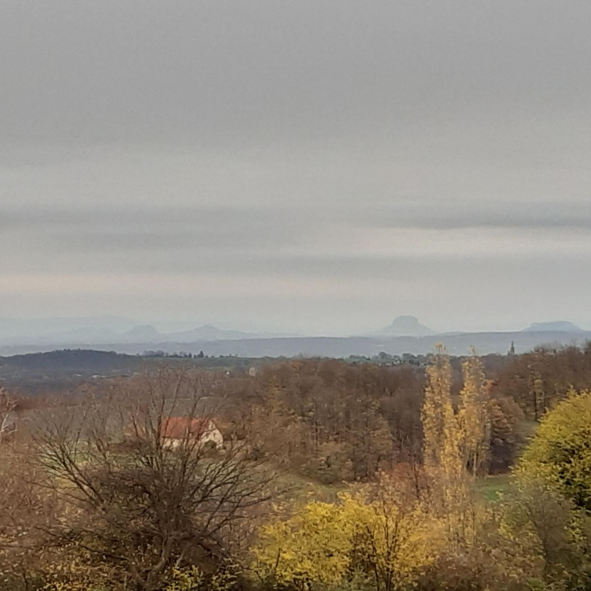
Hiking around Villemoutiers offers a network of trails through a predominantly flat to gently rolling landscape. The region is characterized by its low elevation gains, with routes often traversing rural areas and connecting to local points of interest. Water features such as canals and ponds are common, providing varied scenery for outdoor activities.
Best hiking trails around Villemoutiers
- The most popular hiking route is Sentier de la rose — Loop in Bellegarde, a 4.4 miles (7.1 km) trail that…
Last updated: July 5, 2026
4.3
(4)
13
hikers
7.09km
01:49
20m
30m
Easy hike. Great for any fitness level. Easily-accessible paths. Suitable for all skill levels.
4.0
(1)
3
hikers
10.3km
02:38
40m
40m
Moderate hike. Good fitness required. Easily-accessible paths. Suitable for all skill levels.

Sign up for free
4.0
(3)
5
hikers
15.9km
04:04
60m
60m
Moderate hike. Good fitness required. Easily-accessible paths. Suitable for all skill levels.
5.0
(1)
3
hikers
7.36km
01:52
20m
20m
Easy hike. Great for any fitness level. Easily-accessible paths. Suitable for all skill levels.
3
hikers
6.10km
01:33
10m
20m
Easy hike. Great for any fitness level. Easily-accessible paths. Suitable for all skill levels.
Get access to more routes and recommendations from other explorers.
Sign up for free
Already have an account?
Our route recommendations are based on thousands of hikes, rides, and runs completed by other people on komoot.
Start today with a free account
Your next adventure awaits.
Login or Signup



Tips from the Community

Lock on the first part of the Orléans Canal, built in the 17th century. Beautifully flowered and well maintained. There is a picnic table there.
2
0
Keep and its pretty turrets, built between the 14th and 18th centuries and surrounded by a moat. Access to the exterior is free and is definitely worth a look when the rose gardens are in bloom in May-June.
0
0
Lock on the first part of the Orléans Canal, built in the 17th century. Beautifully flowered and well maintained. There is a picnic table there.
0
0

Bellegarde, high place of the rose
1
0
Frequently Asked Questions
How many hiking trails are available around Villemoutiers?
There are over 20 hiking routes around Villemoutiers, offering a variety of options for different skill levels. The region features 10 easy trails and 14 moderate trails, with no difficult routes, making it accessible for most hikers.
Are there any easy, family-friendly walks in Villemoutiers?
Yes, Villemoutiers is well-suited for family-friendly walks due to its predominantly flat to gently rolling landscape. There are 10 easy trails available. A good option is the Sentier de la rose — Loop in Bellegarde, which is 4.4 miles (7.1 km) long and takes less than 2 hours to complete.
What kind of terrain can I expect on hikes around Villemoutiers?
The hiking trails around Villemoutiers are characterized by a gentle terrain with low elevation gains. You'll often traverse rural areas, agricultural fields, and paths alongside water features such as canals and ponds, providing varied and pleasant scenery.
Are there any circular routes available for hiking in Villemoutiers?
Yes, many routes in the area are circular. For example, the PR de Romaison E2 — Loop from Chailly-en-Gâtinais is a moderate 6.4-mile (10.3 km) loop that explores the rural landscape. Another option is the Bellegarde Castle loop from Bellegarde, an easy 4.1-mile (6.7 km) route.
What are some interesting landmarks or attractions to see along the trails?
While hiking around Villemoutiers, you can discover several interesting landmarks. The Chailly Lock is a notable historical site, and the Choiseau lock also offers a point of interest. Additionally, the impressive Château de Bellegarde is a beautiful castle worth visiting.
Are dogs allowed on the hiking trails in Villemoutiers?
Generally, dogs are welcome on hiking trails in rural areas like Villemoutiers. However, it's always recommended to keep your dog on a leash, especially when passing through agricultural land or near livestock, and to check for any local signage regarding specific restrictions.
What is the best time of year to go hiking in Villemoutiers?
The best time to hike in Villemoutiers is typically during spring (April-June) and autumn (September-October) when the weather is mild and the natural scenery is at its most vibrant. Summer can also be pleasant, but it's advisable to start early to avoid the midday heat. Winter hiking is possible, but trails might be muddy, and daylight hours are shorter.
Are there any challenging hikes in the Villemoutiers area?
The Villemoutiers region is known for its gentle terrain. While there are no routes classified as 'difficult,' there are 14 moderate trails that offer longer distances and slightly more varied landscapes. These provide a good challenge without significant elevation changes.
What do other hikers say about the trails in Villemoutiers?
The trails in Villemoutiers are highly rated by the komoot community, with an average score of 4.25 stars from more than 10 reviews. Hikers often praise the peaceful rural paths, the charming water features, and the well-maintained routes that make for enjoyable outings.
Is there public transport available to reach the trailheads?
Public transport options to reach specific trailheads in rural areas like Villemoutiers can be limited. It's advisable to check local bus schedules or consider driving, as many routes are more easily accessible by car. Parking is generally available in village centers or designated areas near popular trail starts.
Can I find hikes that pass by lakes or ponds?
Yes, water features like canals and ponds are common in the Villemoutiers region. The Étang du May loop from Auvilliers-en-Gâtinais is a moderate 9.9-mile (15.9 km) route that specifically features a pond, offering picturesque views along the way.
Are there any longer, moderate hikes for experienced walkers?
For experienced walkers looking for a longer, moderate hike, the Chailly Lock loop from Chailly-en-Gâtinais is an excellent choice. This trail covers 9.0 miles (14.5 km) and typically takes around 3 hours 40 minutes to complete, offering an extended journey through the local landscape.
Most popular attractions around Villemoutiers

Get inspired with the komoot mobile app


Explore more
Browse the best Hikes in other regions.
