The best walks and hikes around Beetzendorf
4.7
(349)
1,079
hikers
36
hikes
Hiking around Beetzendorf offers routes through the gently rolling terrain of the Jeetze lowlands in Saxony-Anhalt, Germany. The region features extensive parks with pond systems and historical ruins, providing accessible walking paths. To the south, the Drömling Biosphere Reserve presents unique wetland ecosystems, while the "Green Belt" to the north and west offers undisturbed landscapes. These natural features contribute to a varied hiking experience, from leisurely strolls to more extensive explorations.
Best hiking trails around Beetzendorf
- The most popular hiking…
Last updated: May 15, 2026
3.8
(4)
13
hikers
10.1km
02:35
30m
30m
Moderate hike. Good fitness required. Easily-accessible paths. Suitable for all skill levels.
2
hikers
Moderate hike. Good fitness required. Easily-accessible paths. Suitable for all skill levels.

Sign up for free
4.8
(4)
7
hikers
5.96km
01:31
20m
20m
Easy hike. Great for any fitness level. Easily-accessible paths. Suitable for all skill levels.
2.0
(1)
5
hikers
11.7km
02:58
40m
40m
Moderate hike. Good fitness required. Easily-accessible paths. Suitable for all skill levels.
4.0
(1)
5
hikers
Easy hike. Great for any fitness level. Easily-accessible paths. Suitable for all skill levels.
Get access to more routes and recommendations from other explorers.
Sign up for free
Already have an account?
Our route recommendations are based on thousands of hikes, rides, and runs completed by other people on komoot.
Start today with a free account
Your next adventure awaits.
Login or Signup
Tips from the Community

Rectangular plastered building from 1735/1736. Western square tower with Italianate hood and lantern
0
0

The building is empty, what a pity
0
0
Beautifully laid out and maintained
1
0
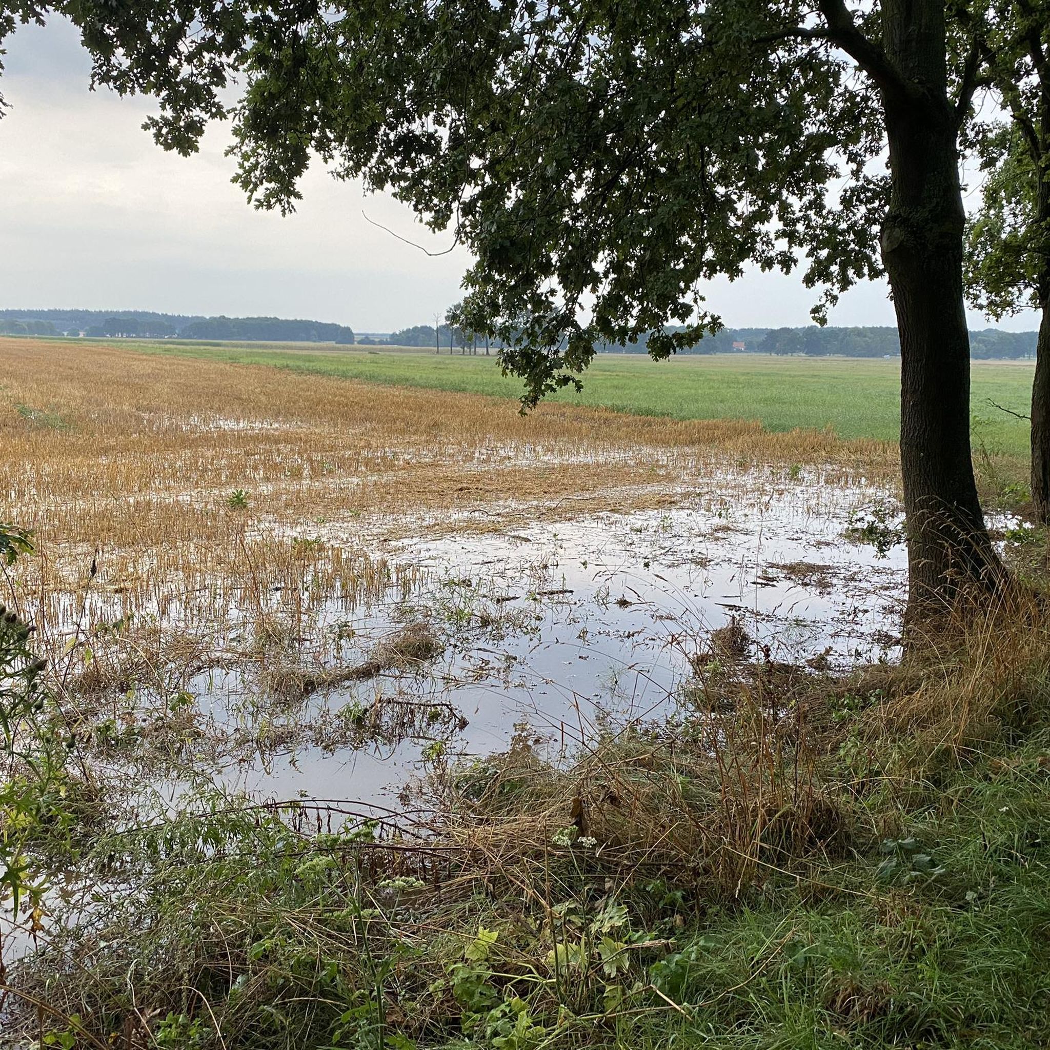
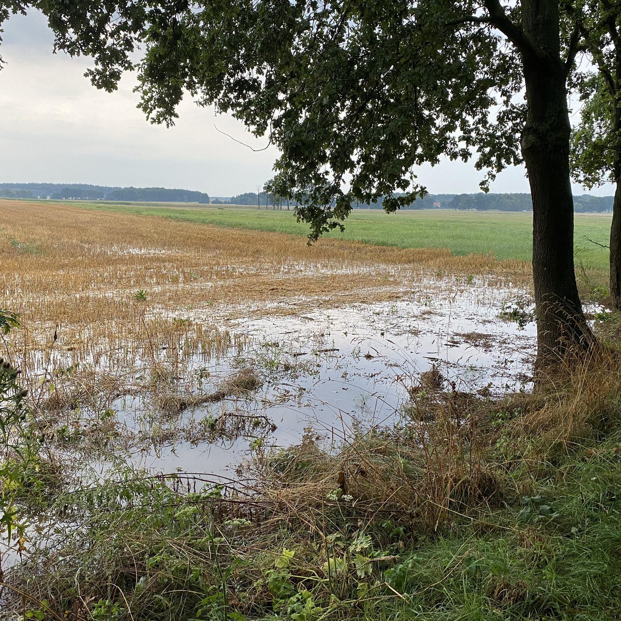
The next highlight is the long lake In summer it is almost always dry
0
0
Very nice hike Planted at the end of the 18th century
0
0

A magical place in a beautiful landscape
0
0

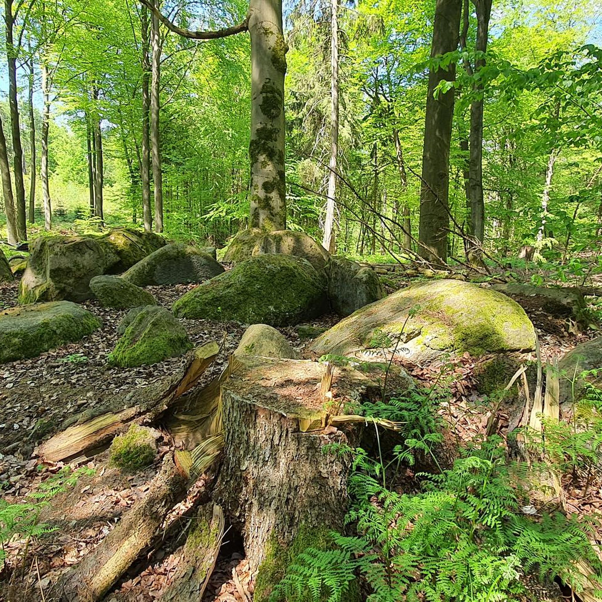
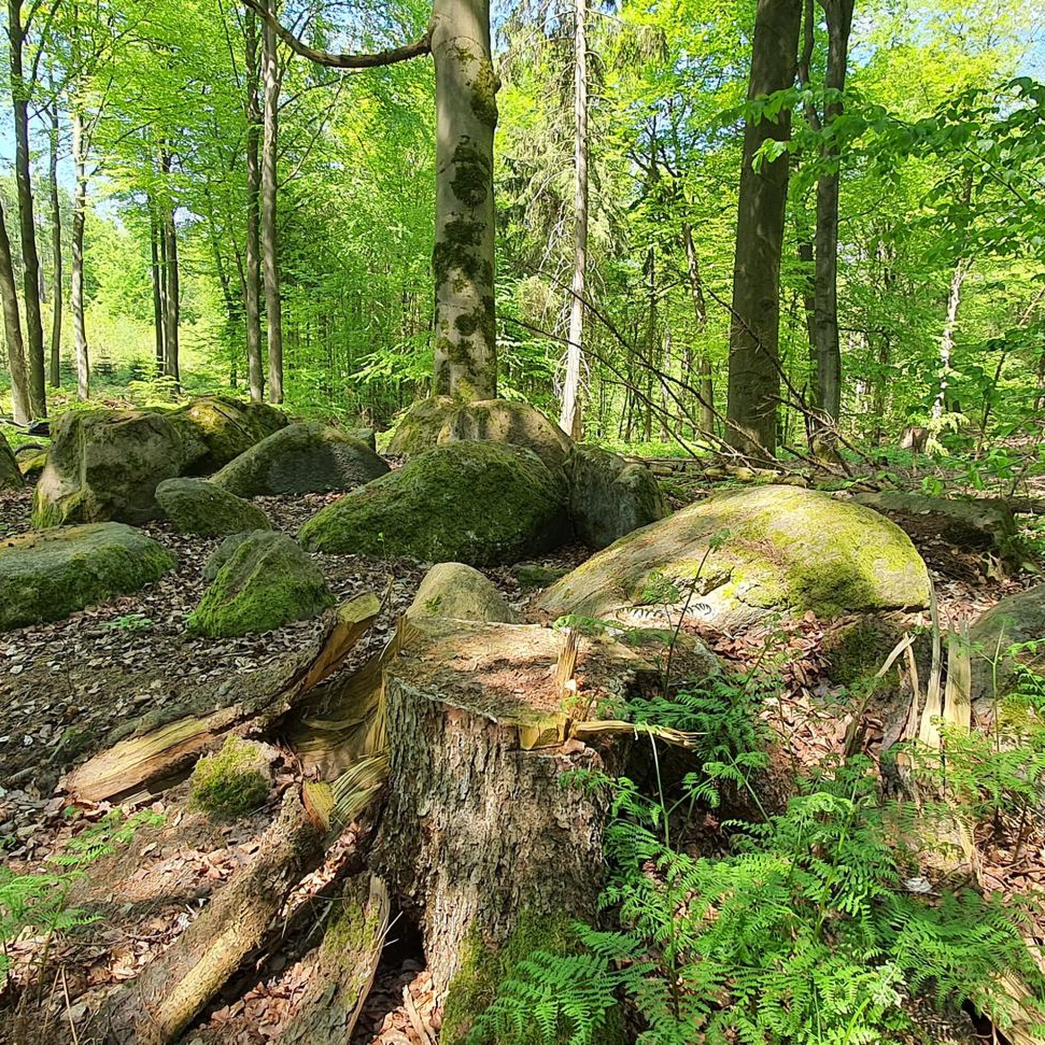
The bald cypresses are always an eye-catcher. Some of them are over 150 years old - a special avenue
0
0

This path between the ancient trees is impressive!
1
0
Frequently Asked Questions
What kind of terrain can I expect when hiking around Beetzendorf?
Hiking around Beetzendorf primarily features the gently rolling terrain of the Jeetze lowlands. You'll find extensive parks with pond systems and historical ruins, offering accessible walking paths. To the south, the Drömling Biosphere Reserve presents unique wetland ecosystems, including fens and bogs, while the "Green Belt" to the north and west provides more undisturbed, natural landscapes.
How many hiking trails are available in the Beetzendorf area?
There are over 35 hiking trails around Beetzendorf, offering a variety of experiences. Most of these, about two-thirds, are considered easy, while the remaining trails are moderate in difficulty, ensuring options for different fitness levels.
Are there any family-friendly hiking options in Beetzendorf?
Yes, Beetzendorf offers several family-friendly hiking options, particularly within its extensive local parks. These areas feature picturesque pond systems and historical ruins, providing accessible routes for leisurely strolls. Many of the easy trails are suitable for families looking for a relaxed outdoor experience.
Can I bring my dog on the hiking trails in Beetzendorf?
Beetzendorf is generally welcoming to dogs on its hiking trails. The diverse landscapes, from the Jeetze lowlands to the Green Belt, offer plenty of space for walks. However, always ensure your dog is kept on a leash, especially when passing through nature reserves like the Drömling Biosphere Reserve, to protect local wildlife and ensure a pleasant experience for everyone.
What natural features or landmarks can I see while hiking near Beetzendorf?
Hikers can discover a variety of natural features and historical landmarks. Within Beetzendorf's parks, you'll find the historical ruins of Beetzendorf Castle and a distinctive bald cypress avenue. Further afield, you can explore ancient sites like The King's Grave (Lüdelsen 6 Megalithic Tomb) or the Megalithic Tombs of Lüdelsen. The region also features beautiful natural monuments such as the Kroneneiche Jemmeritz and the Douglas Fir Natural Monument from 1870.
Are there any circular hiking routes available?
Yes, many of the trails around Beetzendorf are designed as circular routes, making them convenient for day trips. For example, the popular Swamp area – Beetzendorf Mill Pond loop from Beetzendorf is a moderate 6.3-mile (10.1 km) trail that takes you through wetland areas and past the mill pond. Another option is the Beetzendorf Mill Pond – Jeetze Bridge loop from Beetzendorf, an easier 3.7-mile (6.0 km) path.
What is the best time of year to go hiking in Beetzendorf?
The best time for hiking in Beetzendorf is generally from spring to autumn. During these seasons, the weather is mild, and the natural landscapes, including the Jeetze lowlands and the Drömling Biosphere Reserve, are at their most vibrant. Spring brings blooming flora, while autumn offers beautiful foliage, making for picturesque walks.
What do other hikers say about the trails in Beetzendorf?
The hiking trails in Beetzendorf are highly regarded by the komoot community, holding an average rating of 4.4 out of 5 stars from over 25 reviews. Hikers often praise the region for its diverse and accessible landscapes, from the tranquil Jeetze lowlands to the unique wetland ecosystems, offering a peaceful and varied outdoor experience.
Are there any historical sites to visit along the trails?
Absolutely. Beyond the Beetzendorf Castle ruins, you can visit the historical site at Böckwitz-Zicherie, which preserves a section of the former inner-German border. This "Border Trail" (Grenzlehrpfad) offers a poignant walk and features the Signal Fence and Shelter at Zicherie Border Trail, providing insight into German history intertwined with nature.
Where can I find parking for hiking trailheads in Beetzendorf?
Parking is generally available near popular trailheads and within the town of Beetzendorf, especially close to the local parks and starting points for well-known routes. Specific parking information for individual trails can often be found on detailed route descriptions or local signage.
Are there cafes or restaurants available near the hiking routes?
While the immediate trailheads might not always have facilities, the town of Beetzendorf itself offers cafes and restaurants where you can refresh before or after your hike. For routes starting further afield, such as the Ohne Kunst Organic Farm Shop – Loop of the Tangeln Stream loop from Mellin, you might find amenities in nearby villages like Mellin.
What is the longest moderate hike I can do in Beetzendorf?
One of the longer moderate hikes is the Ohne Kunst Organic Farm Shop – Loop of the Tangeln Stream loop from Mellin. This trail covers approximately 6.9 miles (11.1 km) and follows the Tangeln Stream, offering a good balance of distance and moderate challenge through the landscape.
Most popular routes around Beetzendorf
Most popular attractions around Beetzendorf

Get inspired with the komoot mobile app


Explore more
Browse the best Hikes in other regions.
