The best walks and hikes around Hautevelle
4.1
(130)
551
hikers
46
hikes
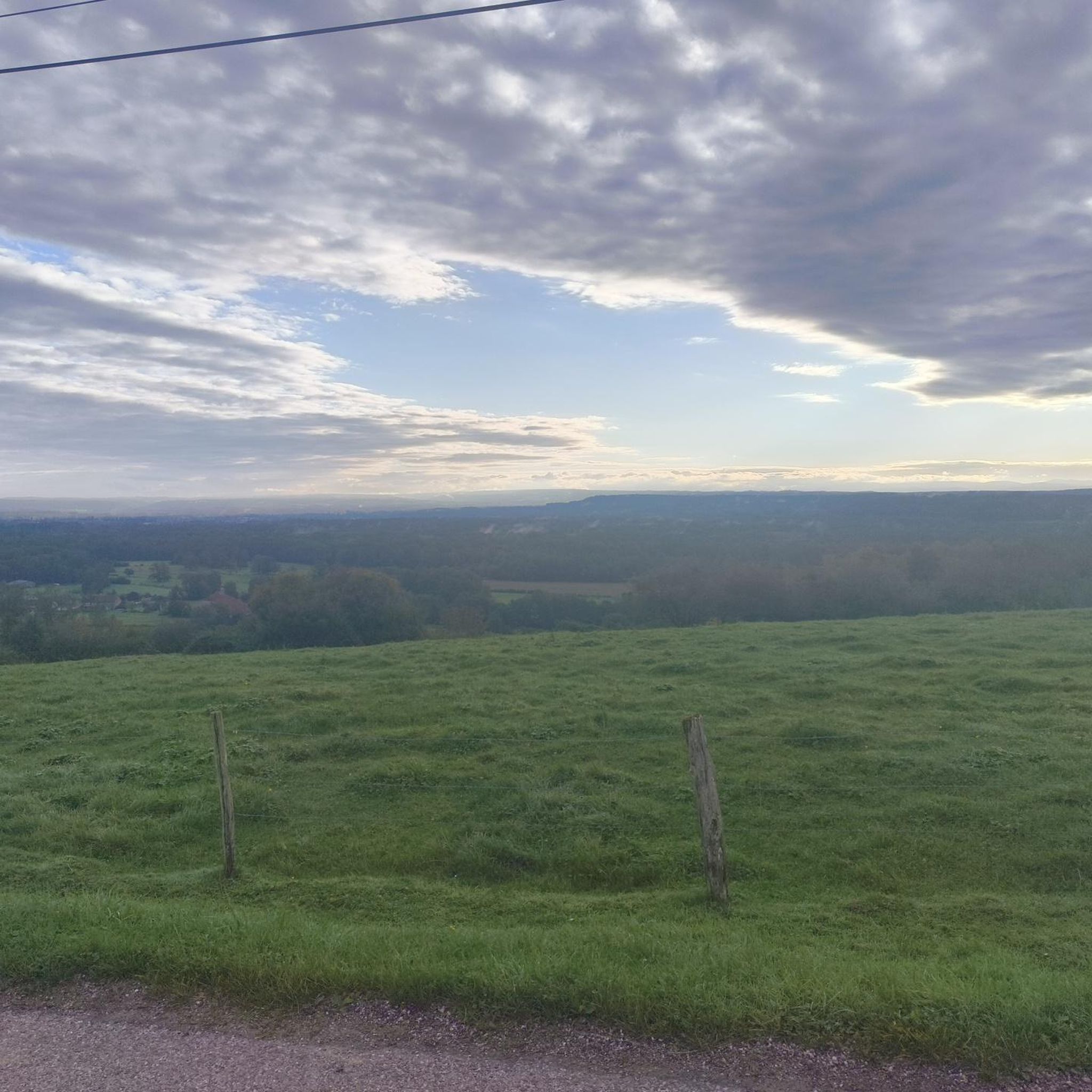
Hiking trails around Hautevelle are characterized by a landscape featuring forests, rivers, and gentle hills. The region offers a variety of walking paths, often leading through woodlands and alongside water features. Elevations are generally modest, with most routes involving gradual ascents and descents. The terrain is suitable for a range of hiking abilities, from easy strolls to more moderate excursions.
Best hiking trails around Hautevelle
- The most popular hiking route is Source du Planey — loop from Bouligney, a…
Last updated: May 24, 2026
4.2
(15)
67
hikers
8.95km
02:23
100m
100m
Moderate hike. Good fitness required. Easily-accessible paths. Suitable for all skill levels.
3.1
(10)
44
hikers
6.21km
01:41
80m
80m
Easy hike. Great for any fitness level. Easily-accessible paths. Suitable for all skill levels.

Sign up for free
4.7
(7)
65
hikers
9.19km
02:27
100m
100m
Moderate hike. Good fitness required. Easily-accessible paths. Suitable for all skill levels.
2.9
(10)
21
hikers
17.8km
04:39
140m
140m
Moderate hike. Good fitness required. Easily-accessible paths. Suitable for all skill levels.
2.9
(10)
20
hikers
14.2km
03:42
100m
100m
Moderate hike. Good fitness required. Easily-accessible paths. Suitable for all skill levels.
Get access to more routes and recommendations from other explorers.
Sign up for free
Already have an account?
Our route recommendations are based on thousands of hikes, rides, and runs completed by other people on komoot.
Start today with a free account
Your next adventure awaits.
Login or Signup



Tips from the Community

The "Bishop's Fountain" is arranged in basins forming a triple cascade. It was designed in 1914 to raise trout with the aim of reintroducing them into the wild, the project was subsequently abandoned.
0
0
The "Barrel Fountain" is part of a system of several springs that dates back to the Gallo-Roman period. One of the springs flows through a bottomless wooden barrel filled with pebbles. It was restored in 1936, but traces of an old pipe leading to Luxeuil have been found.
0
0

Great complex, dating back to Roman times
1
0

The closer you get to the actual source, the stronger the blue color of the crystal clear water becomes!
7
0
Well located place near the beautiful old town.
7
0

Fantastic to enjoy this piece of nature quietly!
1
0

A true mystery of life. This pond is actually a sinkhole, but instead of being bottomless, it is only 35m deep. Its crystalline turquoise hues hide a mystery: the water remains at a mild temperature of 11°c, summer and winter alike.
2
0
A true mystery of life. This pond is actually a sinkhole, but instead of being bottomless, it is only 35m deep. Its crystalline turquoise hues hide a mystery: the water remains at a mild temperature of 11°c, summer and winter alike.
4
0
Frequently Asked Questions
What kind of hiking trails can I expect around Hautevelle?
The Hautevelle region, nestled within the Haute-Saône department, offers a diverse landscape of rolling countryside, dense forests, and winding rivers. You'll find paths leading through woodlands, alongside water features, and across gentle hills. The terrain is generally suitable for a range of abilities, with most routes involving gradual ascents and descents.
Are there many hiking trails available in the Hautevelle area?
Yes, there are over 40 hiking trails around Hautevelle. These routes cater to various preferences, from easy strolls to more moderate excursions, ensuring there's something for every hiker.
Are there any easy hikes suitable for beginners or families in Hautevelle?
Absolutely. The region has over 30 easy trails. A great option for a pleasant, casual outing is Le Planey – Planey Spring loop from Anjeux, an easy 6.2 km path that takes about 1 hour 40 minutes to complete.
What are some of the longer or more challenging hikes around Hautevelle?
While there are no technically difficult routes, you can find longer moderate hikes. For example, the Beautiful picnic area – Le Planey loop from Ainvelle is a moderate 17.8 km trail, typically taking around 4 hours 39 minutes to complete.
Are there any circular walks in the Hautevelle area?
Yes, many of the trails around Hautevelle are designed as loops, offering convenient circular walks. A popular moderate option is the Source du Planey — loop from Bouligney, which covers 9.0 km in about 2 hours 23 minutes.
What natural attractions or points of interest can I see while hiking in Hautevelle?
The region is rich in natural beauty. You can explore the Planey Spring, which is a focal point for several trails. The wider Haute-Saône area also features the unique Plateau des Mille Étangs, often called "Little Finland," with its mosaic of ponds and forests, and the Southern Vosges Mountains providing majestic backdrops.
Are there any historical or cultural landmarks near the hiking trails?
Yes, you can discover several interesting landmarks. Consider visiting the Saint Columban Abbey or the Saint-Étienne Church. For a different experience, the Luxeuil-les-Bains Thermal Baths are also nearby.
What do other hikers say about the trails in Hautevelle?
The hiking trails in Hautevelle are highly rated by the komoot community, with an average score of 4.2 stars from over 125 reviews. Hikers often praise the tranquil woodlands, well-maintained paths, and the scenic beauty of the rivers and gentle hills.
Are the hiking trails in Hautevelle suitable for dogs?
While specific regulations can vary by trail or protected area, generally, the natural landscapes of Hautevelle and the Haute-Saône region are welcoming for dogs, especially on leash. It's always advisable to check local signage for any restrictions, particularly in nature reserves or near sensitive wildlife areas.
What is the best time of year to go hiking in Hautevelle?
The region is enjoyable for hiking throughout much of the year. Spring and autumn offer pleasant temperatures and vibrant scenery, with blooming wildflowers or colorful foliage. Summer is also popular, though it's best to start earlier in the day to avoid the midday heat. Winter hiking is possible, especially in the Southern Vosges, where snowshoeing is also an option.
Are there any routes that start from or pass by camper van parking areas?
Yes, there are routes designed with camper van users in mind. For instance, the Camper Van Parking Area – Chemin des Moines loop from Luxeuil-les-Bains is a moderate 9.1 km trail that offers varied terrain and takes about 2 hours 26 minutes.
Most popular attractions around Hautevelle

Get inspired with the komoot mobile app


Explore more
Browse the best Hikes in other regions.
