The best road cycling routes around Alaincourt
4.3
(35)
456
riders
133
rides
Road cycling routes around Alaincourt, located in the Aisne department, feature a gentle topography with elevations ranging from 57 to 109 meters. The area is characterized by the Oise River and the Canal de la Sambre à l'Oise, which offer largely flat routes along their banks. Extensive farmlands provide open vistas and quiet country roads, while the presence of the "Véloroute Stevenson" indicates established cycling infrastructure.
Best road cycling routes around Alaincourt
- The most popular road cycling route is Boucle…
Last updated: July 5, 2026
4.5
(2)
15
riders
41.5km
01:48
370m
370m
Moderate road ride. Good fitness required. Mostly well-paved surfaces and easy to ride.
3.3
(6)
38
riders
42.6km
01:44
180m
180m
Easy road ride. Great for any fitness level. Mostly well-paved surfaces and easy to ride.

Sign up for free
12
riders
67.7km
02:54
530m
530m
Moderate road ride. Good fitness required. Mostly well-paved surfaces and easy to ride.
10
riders
85.7km
03:56
930m
940m
Hard road ride. Very good fitness required. Mostly well-paved surfaces and easy to ride.
9
riders
62.2km
02:33
350m
350m
Moderate road ride. Good fitness required. Mostly well-paved surfaces and easy to ride.
Get access to more routes and recommendations from other explorers.
Sign up for free
Already have an account?
Our route recommendations are based on thousands of hikes, rides, and runs completed by other people on komoot.
Start today with a free account
Your next adventure awaits.
Login or Signup



Tips from the Community


A beautiful old church with impressive stained glass windows.
0
0

However, if you are out and about during daylight hours and are thirsty, you will always find something in the easily accessible cemeteries of French villages.
0
0

Very beautiful view of Passavant from the top of the viaduct.
2
0

beautiful almost flat cycle path
1
0


... And it was in 1896 that the Jannel company, (foundry manufacturer) based in Martinvelle (Vosges) delivered a third bell to the town of Ormoy...
0
0
Frequently Asked Questions
How many road cycling routes are available around Alaincourt?
There are over 125 road cycling routes around Alaincourt, offering a wide variety of options for cyclists. These routes have been explored by more than 400 road cyclists using komoot.
What is the typical terrain like for road cycling in Alaincourt?
Alaincourt features a gentle topography, with elevations ranging from 57 to 109 meters. You'll find largely flat routes along the Oise River and the Canal de la Sambre à l'Oise, extensive farmlands offering open vistas, and quiet country roads. The area is also part of the "Véloroute Stevenson" network, indicating well-maintained cycling infrastructure.
Are there road cycling routes suitable for different skill levels?
Yes, Alaincourt offers routes for various abilities. While the majority are moderate (96 routes), there are also 23 easy routes for beginners and 6 more challenging routes for experienced cyclists.
What landmarks or scenic viewpoints can I expect to see along the road cycling routes?
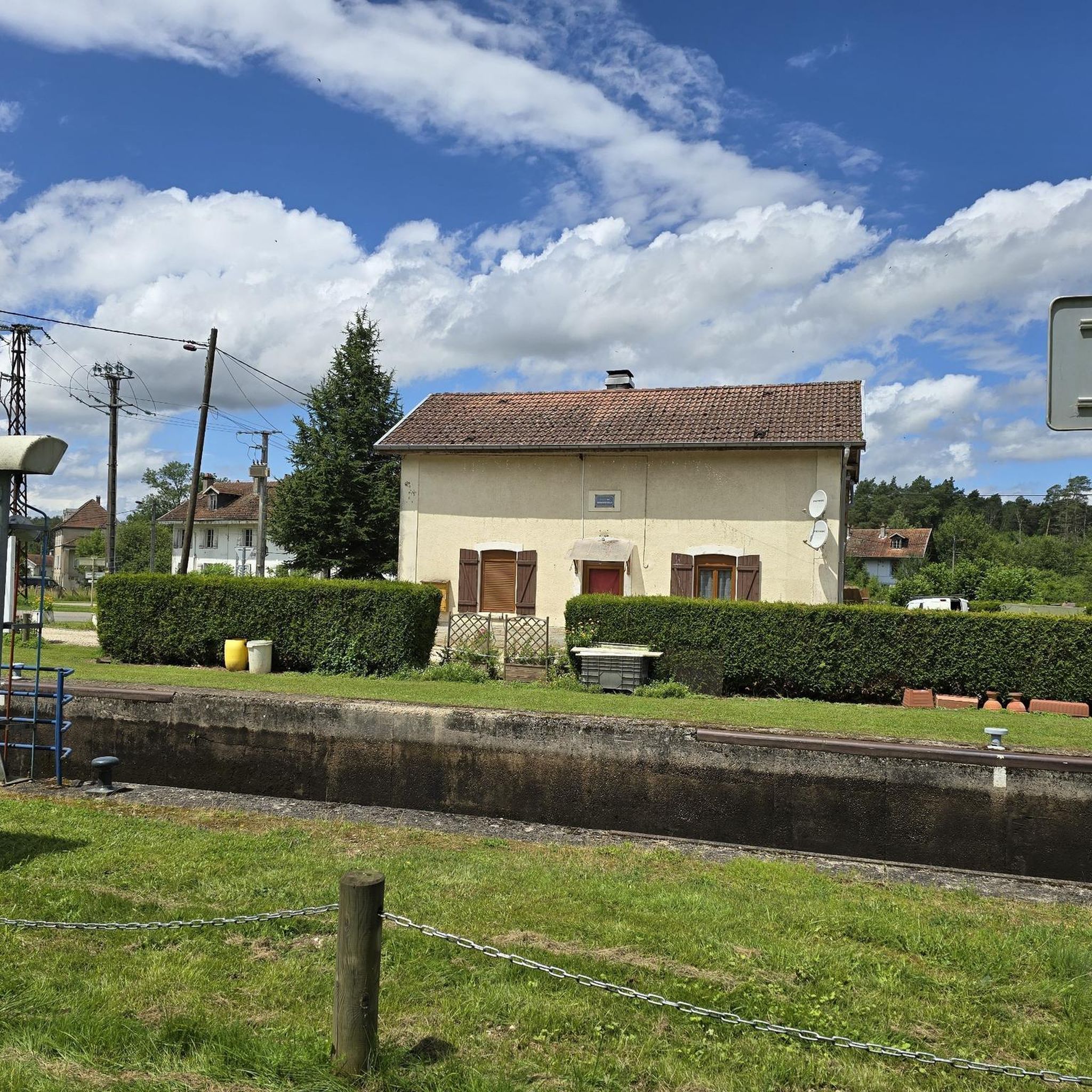
Many routes in Alaincourt offer picturesque views of waterways and rural landscapes. You might encounter highlights such as the View from Ormoy-Richecourt bridge, sections of La voie bleue, and the notable Selles Swing Bridge. The Canal des Vosges and its canal breakthrough in Montmotier also provide interesting sights.
What do other road cyclists enjoy most about cycling in Alaincourt?
The road cycling routes in Alaincourt are highly rated by the komoot community, with an average score of 4.3 stars from over 60 reviews. Cyclists often praise the gentle river valleys, open farmlands, and scenic canal-side paths that define the area's network of routes.
Are there any long-distance road cycling routes for experienced riders?
For experienced riders seeking a longer challenge, consider the Chalet de la Feuillée Nouvelle – Halles de Vauvillers loop from Vauvillers. This difficult route covers approximately 85.7 km (53.3 miles) with significant elevation gain, typically taking around 4 hours to complete.
What is the best time of year for road cycling in Alaincourt?
The presence of waterways and farmlands suggests that spring, summer, and early autumn would be ideal for road cycling in Alaincourt. These seasons typically offer pleasant weather for enjoying the open vistas and serene natural backdrops.
Are there any circular road cycling routes in the area?
Yes, many routes around Alaincourt are designed as loops. For example, the Town Hall – Halles de Vauvillers loop from Vauvillers is a moderate 62.2 km (38.6 miles) circular route that takes you through varied terrain.
Can I find routes that follow the canals or rivers?
Absolutely. Alaincourt is traversed by the Oise River and the Canal de la Sambre à l'Oise, which offer picturesque and largely flat routes. The Selles Swing Bridge – Canal des Vosges à Selles loop from Vauvillers is a great example, including sections along the Canal des Vosges.
Are there any road cycling routes that pass through rural farmlands?
Many routes in Alaincourt take you through the commune's extensive farmlands, providing open vistas and quiet country roads. The Boucle des Verriers, au départ de Vauvillers is a moderate route that navigates through the local countryside, offering varied scenery including farmlands.
What is the longest moderate road cycling route available?
The La Basse-Vaivre – Selles Swing Bridge loop from Vauvillers is one of the longer moderate options, covering approximately 67.6 km (42.0 miles) and typically completed in about 2 hours 53 minutes, leading through rural areas and past the Selles Swing Bridge.
Most popular attractions around Alaincourt

Get inspired with the komoot mobile app


Explore more
Browse the best Road cycling routes in other regions.
