The best road cycling routes around Nantilly
3.5
(60)
483
riders
106
rides
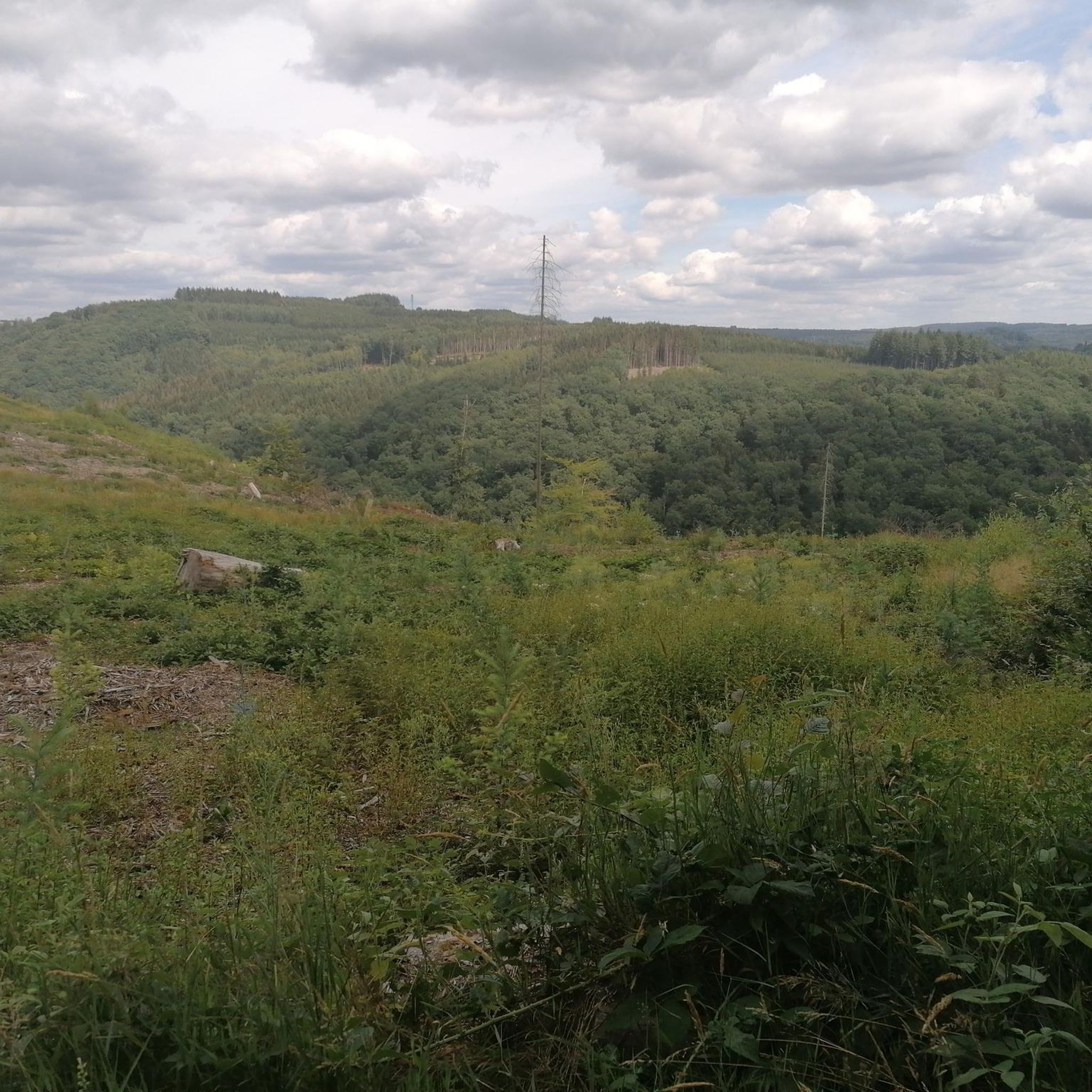
Road cycling routes around Nantilly, located in the Haute-Saône region of eastern France, traverse diverse and scenic landscapes. The area features rolling hills, winding roads, and picturesque waterways, offering varied terrain for cyclists. Altitudes in the region provide routes with deep valleys and expansive panoramas. Cyclists can expect to encounter verdant rural landscapes and charming villages.
Best road cycling routes around Nantilly
- The most popular road cycling route is Savoyeux Tunnel – Savoyeux Tunnel loop from Gray, a 32.3…
Last updated: July 3, 2026
4.0
(3)
34
riders
52.0km
02:30
170m
170m
Moderate road ride. Good fitness required. Mostly well-paved surfaces and easy to ride.
3.0
(1)
6
riders
44.9km
01:54
300m
300m
Moderate road ride. Good fitness required. Mostly well-paved surfaces and easy to ride.

Sign up for free
6
riders
78.1km
03:23
710m
710m
Moderate road ride. Good fitness required. Some segments of this route may be unpaved and difficult to ride.
4.0
(1)
7
riders
75.5km
03:06
360m
360m
Moderate road ride. Good fitness required. Some segments of this route may be unpaved and difficult to ride.
14
riders
26.8km
01:21
30m
30m
Easy road ride. Great for any fitness level. Mostly well-paved surfaces and easy to ride.
Get access to more routes and recommendations from other explorers.
Sign up for free
Already have an account?
Our route recommendations are based on thousands of hikes, rides, and runs completed by other people on komoot.
Start today with a free account
Your next adventure awaits.
Login or Signup



Tips from the Community

A charming town in Franche-Comté, part of the Holy Roman Empire until the Treaty of 1678. Very prosperous in the Middle Ages, thanks to its trade and artisans. A cloth market was established there as early as the 14th century, after Joan of Burgundy, Countess of Franche-Comté and Queen of King Philip V the Long of France, brought weavers from Paris. From June 14, 1354, until the Revolution, the bourgeoisie of Marnay had a charter of emancipation that guaranteed them security and prosperity: "Whoever has a house and keeps a fire in the town will be a bourgeois." This charter allowed the inhabitants to administer the town themselves and thus build ramparts and create the individual gardens that can still be seen today.
0
0


The Saône is a river that flows through Burgundy and Franche-Comté. It is a major tributary of the Rhône and a popular spot for water sports, fishing and boat trips
10
4
The highlight here is taken from the resting point above the exit. There is also a table here.
11
4


The Savoyeux tunnel was built during the July Monarchy, in 1837. It facilitates navigation on the Saône. The dimensions of the work are impressive: 642.5 meters long, and only 6.55 meters wide. It passes under the hill and makes it possible to cut a meander in the river, and to avoid a dam located a little higher up.
0
0
The Tunnel de Savoyeux is an underground canal that diverts the Saône between two of its meanders near Savoyeux, in Haute-Saône, in France. It was completed in 1843 and made it possible to sail the small Saône to the Saône. It is 642.5 meters long and 6.55 meters wide. It has no path for pulling the boats, so the skippers had to pull the boats with chains attached to the walls of the tunnel. It also has a lock at the end of the tunnel
10
4
The Tunnel de Savoyeux is an underground canal that diverts the Saône between two of its meanders near Savoyeux, in Haute-Saône, France. It was completed in 1843 and made it possible to sail the small Saône to the Saône. It is 642.5 meters long and 6.55 meters wide. It has no path for pulling the boats, so the skippers had to pull the boats with chains attached to the walls of the tunnel. It also has a lock at the end of the tunnel
12
4
Frequently Asked Questions
What kind of terrain can I expect on road cycling routes around Nantilly?
The road cycling routes around Nantilly, situated in the Haute-Saône region, are characterized by diverse and scenic landscapes. You'll find a mix of rolling hills and winding roads, with altitudes ranging from 184 to 1156 meters, offering varied challenges. Many routes also traverse picturesque waterways and verdant rural landscapes, passing through charming villages.
Are there road cycling routes suitable for beginners or those seeking an easy ride?
Yes, the region offers options for various ability levels. While many routes feature rolling hills, there are 18 easy road cycling routes available. For example, the Pont de Pierre of Gray – Gray loop from Gray is an easy 28.8 km route with minimal elevation gain, perfect for a relaxed ride.
What are some notable landmarks or attractions I can see along the road cycling routes?
Many routes offer views of historical and natural attractions. You might pass by the Pont de Pierre of Gray, a significant bridge, or the Apremont Dam. The region also features charming villages and historical buildings like the Saint-Pierre de Luxeuil-les-Bains church and the Chapel of Ronchamp, though these may require a slight detour from specific cycling paths.
How many road cycling routes are available in the Nantilly area?
There are over 100 road cycling routes available around Nantilly, catering to various skill levels. This includes 18 easy routes, 82 moderate routes, and 2 more challenging options, ensuring there's something for every road cyclist.
What do other road cyclists enjoy most about cycling in Nantilly?
The road cycling experience in Nantilly is highly rated by the komoot community, with an average score of 3.4 stars from over 39 reviews. Cyclists often praise the varied terrain, the scenic rural landscapes, and the winding roads that make for an engaging ride. The presence of picturesque waterways and charming villages also adds to the appeal.
Are there any long-distance or challenging road cycling routes in the region?
For those seeking a longer or more challenging ride, the region offers routes like the Pont de Pierre of Gray – Savoyeux Tunnel loop from Gray, which is over 100 km long. Additionally, the legendary climb of La Planche des Belles Filles, famous from the Tour de France, is within the Haute-Saône region and offers a formidable challenge for experienced cyclists.
What is the best time of year for road cycling around Nantilly?
The Haute-Saône region, including Nantilly, is generally pleasant for cycling from spring through autumn. The weather is typically mild, making it ideal for exploring the diverse landscapes. Summer offers longer daylight hours, while spring and autumn provide cooler temperatures and beautiful scenery with changing foliage.
Are there circular road cycling routes available in Nantilly?
Yes, many of the road cycling routes around Nantilly are designed as loops, allowing you to start and end in the same location. Examples include the popular Savoyeux Tunnel – Savoyeux Tunnel loop from Gray and the Bridge over the Salon – Stone bridge over the Salon loop from Chargey-lès-Gray.
Can I find routes that follow rivers or waterways?
Absolutely. The Haute-Saône region is crisscrossed by numerous waterways, most notably the Saône River. Many road cycling routes, such as the Bridge over the Salon – Stone bridge over the Salon loop from Chargey-lès-Gray, offer scenic views along riverbanks and often follow waterways, providing a refreshing cycling experience.
Are there specific cycling routes that highlight the region's natural beauty?
The 21 signposted cycle routes throughout Haute-Saône are specifically designed to showcase the region's unspoilt landscapes and historical treasures. These often utilize low-traffic roads, allowing cyclists to fully immerse themselves in the natural beauty of the verdant rural landscapes and picturesque waterways.
Where can I find more information about cycling in the wider Haute-Saône region?
For broader information on cycling opportunities, including greenways and other routes in the Haute-Saône department, you can visit the official tourism website: hautesaonetourisme.com. They also provide details on main roads and cycle loops.
Most popular attractions around Nantilly

Get inspired with the komoot mobile app


Explore more
Browse the best Road cycling routes in other regions.
