The best walks and hikes around Lavans-Lès-Dole
4.4
(173)
943
hikers
82
hikes
Hiking around Lavans-Lès-Dole offers access to a landscape characterized by rolling terrain, dense woodlands, and river valleys in the Jura department of France. The region features a network of paths suitable for exploring the natural environment. Elevation changes are generally moderate, providing accessible outdoor experiences. The area's geology contributes to varied scenery, including some notable natural formations.
Best hiking trails around Lavans-Lès-Dole
- The most popular hiking route is The Bee-eater loop from Étrepigney, a 5.2 miles (8.3 km) trail…
Last updated: July 6, 2026
4.3
(13)
33
hikers
6.74km
01:49
90m
90m
Easy hike. Great for any fitness level. Easily-accessible paths. Suitable for all skill levels.
4.5
(8)
37
hikers
8.30km
02:12
80m
80m
Moderate hike. Good fitness required. Easily-accessible paths. Suitable for all skill levels.

Sign up for free
4.8
(4)
20
hikers
8.64km
02:24
160m
160m
Moderate hike. Good fitness required. Easily-accessible paths. Suitable for all skill levels.
4.3
(6)
22
hikers
10.9km
02:52
100m
100m
Moderate hike. Good fitness required. Easily-accessible paths. Suitable for all skill levels.
4.6
(7)
33
hikers
5.76km
01:32
60m
60m
Easy hike. Great for any fitness level. Easily-accessible paths. Suitable for all skill levels.
Get access to more routes and recommendations from other explorers.
Sign up for free
Already have an account?
Our route recommendations are based on thousands of hikes, rides, and runs completed by other people on komoot.
Start today with a free account
Your next adventure awaits.
Login or Signup

Tips from the Community

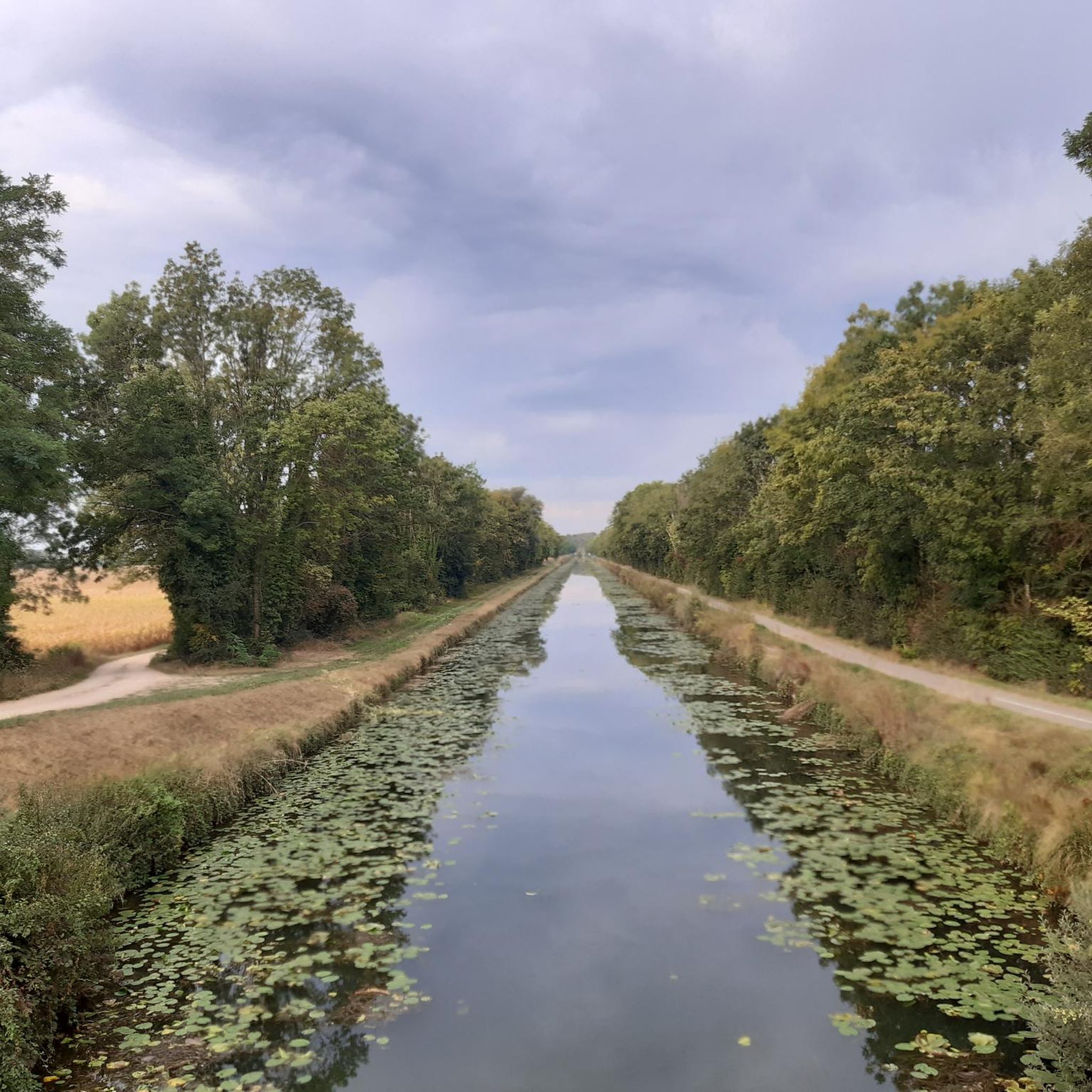
The Rhine-Rhône Canal runs directly alongside high cliffs here and opens into a narrow lock channel through a very narrow rock archway. A truly spectacular section of our cycling route!
0
0

cyclo first plateau Dole
0
0

In the Serre massif, a natural area perfect for mountain biking, the Hermitage cave is a curiosity that invites you to take a break. If erosion has given the rock its particular shape, the human hand has also intervened in the shaping of the cave.
0
0

Fraisans used to be the centre of metallurgy
5
0

it's a quiet and soothing, shady corner, very pleasant, I recommend
0
0

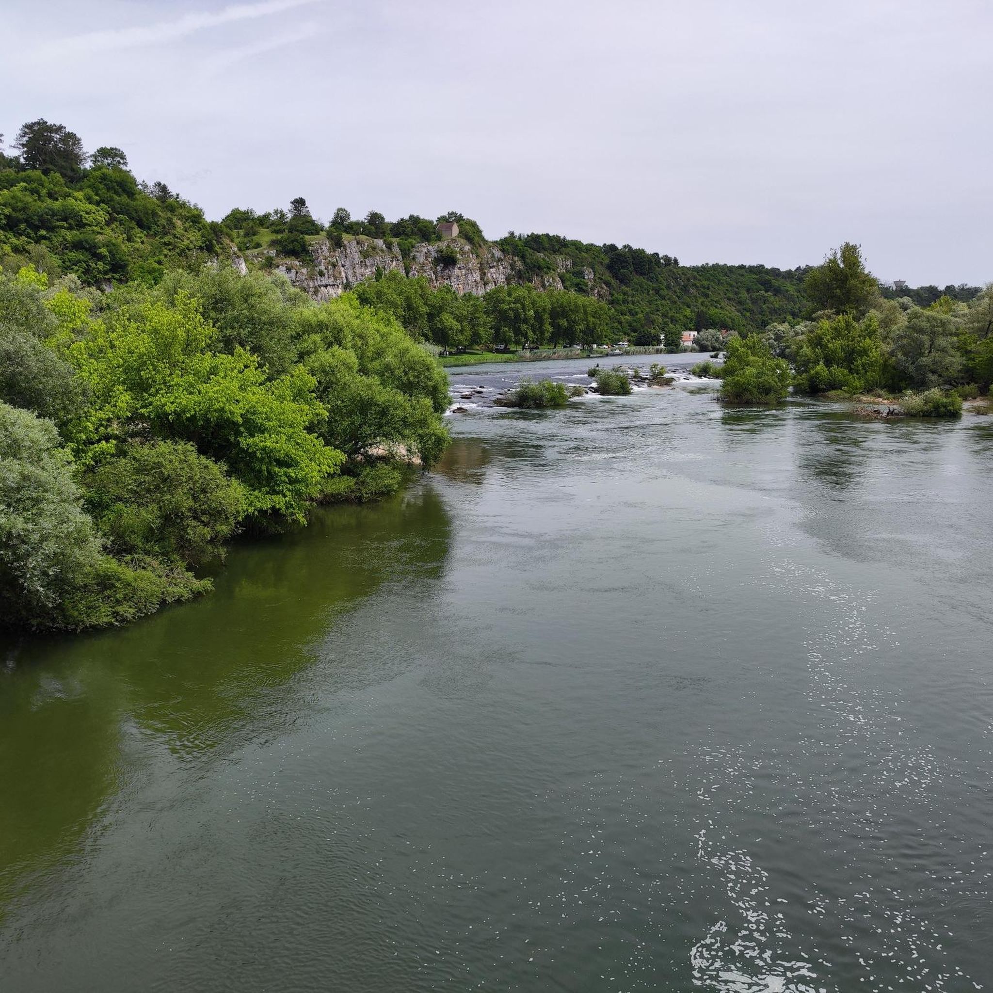
A wonderful tour along the Doubs river. Due to the high water levels, there are impressive hydraulic jumps at the weirs.
0
0

an impressive landscape along the Doubs. I could do this route again and again.
1
0

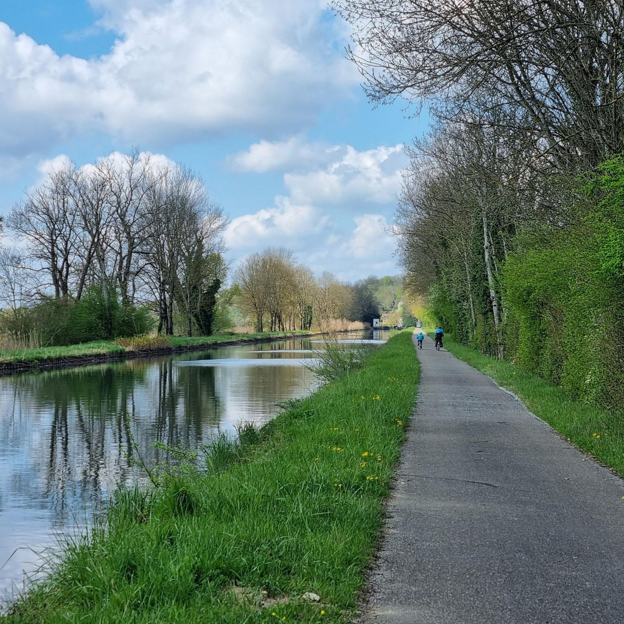
Great landscape and beautiful EV6 bike path.
3
0
Frequently Asked Questions
How many hiking trails are available around Lavans-Lès-Dole?
There are over 80 hiking routes in the Lavans-Lès-Dole area, offering a variety of experiences from easy strolls to more challenging treks. The komoot community has explored these trails over 800 times.
Are there easy hiking options suitable for beginners or casual walkers?
Yes, the region offers over 20 easy routes. For a pleasant and accessible walk, consider the Rochefort 6.6 km loop from Rochefort-sur-Nenon, which is about 5.8 km long and takes around 1 hour 30 minutes to complete through scenic countryside paths.
What are the typical distances for hikes in Lavans-Lès-Dole?
Hiking routes in Lavans-Lès-Dole generally range from moderate distances, with many popular trails falling between 5 to 9 kilometers. For example, The Bee-eater loop from Étrepigney is 8.3 km, while Hermitage Cave loop from Amange is 8.6 km.
Are there any family-friendly hiking trails in the area?
Many of the easier and shorter routes are suitable for families. The terrain around Lavans-Lès-Dole features rolling hills and woodlands with generally moderate elevation changes, making it accessible for various age groups. Look for trails marked as 'easy' on komoot for the best family options.
Can I bring my dog on the hiking trails around Lavans-Lès-Dole?
Yes, many trails in the Lavans-Lès-Dole region are dog-friendly. It's always recommended to keep your dog on a leash, especially in areas with wildlife or near agricultural land, and to carry water for both yourself and your pet. Always check local signage for any specific restrictions.
What kind of natural features or landmarks can I expect to see while hiking?
The region is characterized by dense woodlands, river valleys, and some notable natural formations. You might encounter highlights such as the Cliffs along the Doubs / Rhône–Rhine Canal or the intriguing Hermitage Cave. The Hermitage Cave loop from Amange specifically explores local natural features.
Are there any circular hiking routes available?
Yes, many of the trails in Lavans-Lès-Dole are designed as loops, offering convenient starting and ending points. Examples include The Bee-eater loop from Étrepigney and the Rochefort-sur-Nenon – Rochefort-sur-Nenon loop from Audelange.
What is the best time of year for hiking in Lavans-Lès-Dole?
Spring and autumn generally offer the most pleasant hiking conditions with mild temperatures and beautiful scenery. Spring brings blooming flora, while autumn showcases vibrant fall colors in the woodlands. Summer is also popular, but be prepared for warmer weather.
Are there options for winter hiking in the area?
While the region experiences winter, many trails remain accessible for hiking, especially those at lower elevations. Always check weather conditions and trail reports before heading out, and ensure you have appropriate gear for potentially icy or snowy conditions.
What do other hikers enjoy most about the trails in Lavans-Lès-Dole?
The trails in Lavans-Lès-Dole are highly rated by the komoot community, with an average score of 4.3 stars from over 140 reviews. Hikers often praise the varied landscapes, the tranquility of the dense woodlands, and the well-maintained paths that make for enjoyable outdoor experiences.
Are there any less crowded hiking options for a more peaceful experience?
While popular routes like The Bee-eater loop are well-loved, the extensive network of trails means you can often find quieter paths. Exploring some of the slightly longer or less-advertised routes, or hiking during off-peak hours (weekdays, early mornings), can lead to a more serene experience.
Where can I find parking for the hiking trails?
Many trailheads and villages near popular routes offer designated parking areas. It's advisable to check the specific tour details on komoot for information regarding parking availability at the start of your chosen hike.
Are there any cafes or places to eat after a hike?
The villages surrounding Lavans-Lès-Dole, such as Rochefort-sur-Nenon or Étrepigney, often have local establishments where you can enjoy a meal or a refreshing drink after your hike. It's a good idea to check opening times in advance, especially in smaller communities.
Most popular routes around Lavans-Lès-Dole
Most popular attractions around Lavans-Lès-Dole

Get inspired with the komoot mobile app


Explore more
Browse the best Hikes in other regions.
