The best walks and hikes around Fresse
4.4
(1001)
5,103
hikers
16
hikes
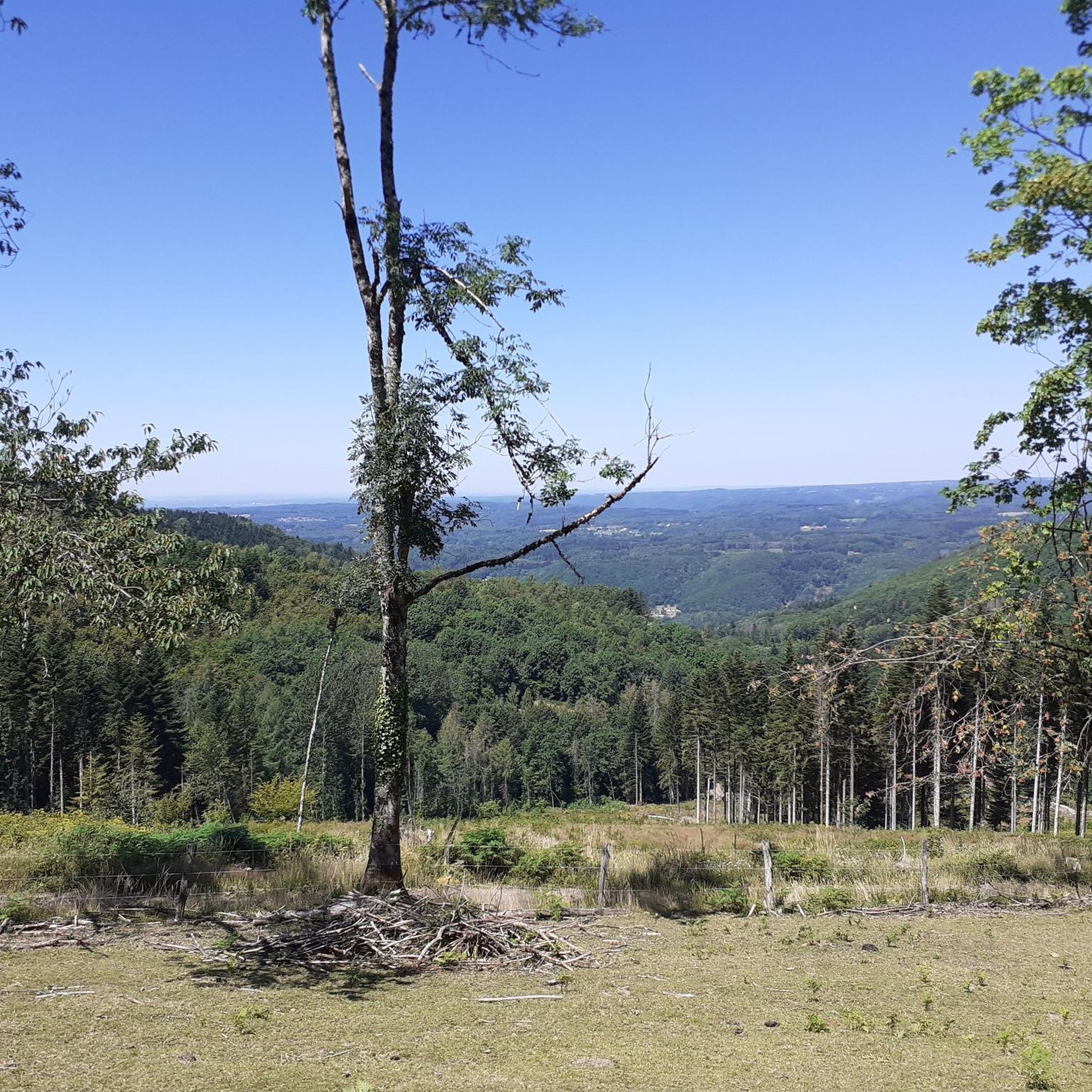
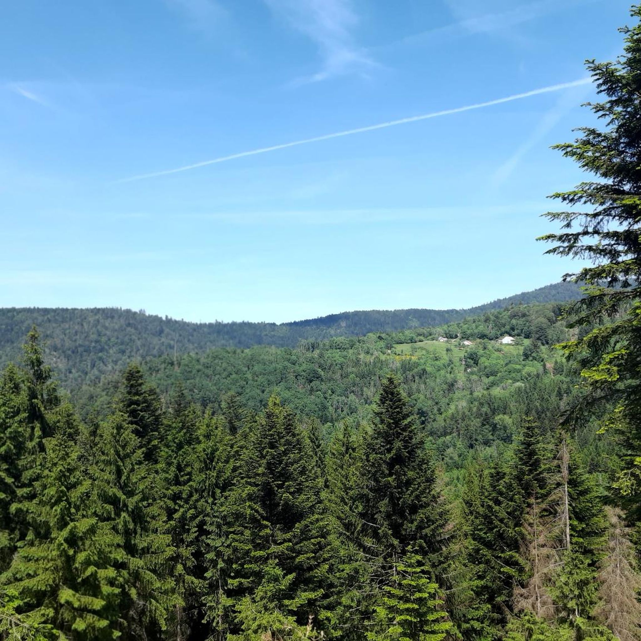
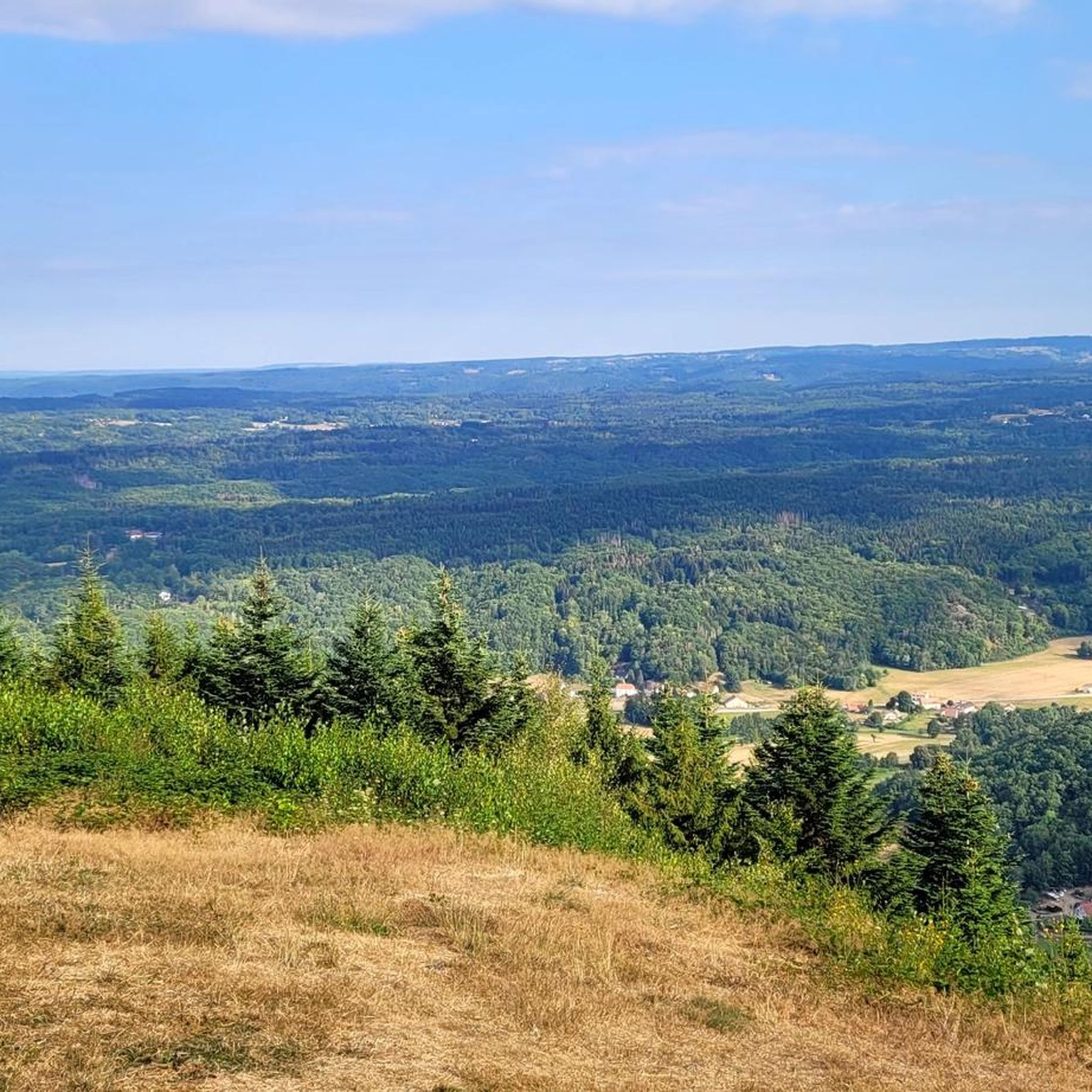
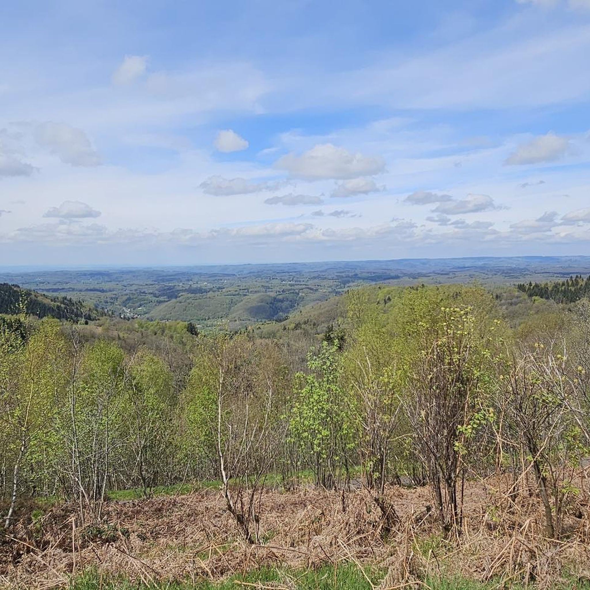
Hiking around Fresse provides access to diverse landscapes within the Southern High Vosges region. The area is characterized by a mix of hills, open pastures, and dense forests, offering varied scenery for hikers. Many trails lead to panoramic viewpoints, showcasing the natural features of the region. Its location at the borders of Alsace, the Vosges, and the Territoire de Belfort contributes to its unique geographical characteristics.
Best hiking trails around Fresse
- The most popular hiking route is Viewpoint to the…
Last updated: July 10, 2026
4.3
(21)
69
hikers
8.35km
02:32
260m
260m
Moderate hike. Good fitness required. Easily-accessible paths. Suitable for all skill levels.
4.3
(10)
32
hikers
9.71km
02:52
290m
290m
Moderate hike. Good fitness required. Easily-accessible paths. Suitable for all skill levels.

Sign up for free
4.7
(7)
24
hikers
Moderate hike. Good fitness required. Easily-accessible paths. Suitable for all skill levels.
3.6
(9)
24
hikers
8.93km
02:41
260m
260m
Moderate hike. Good fitness required. Easily-accessible paths. Suitable for all skill levels.
4.0
(4)
17
hikers
15.8km
04:37
410m
410m
Moderate hike. Good fitness required. Easily-accessible paths. Suitable for all skill levels.
Get access to more routes and recommendations from other explorers.
Sign up for free
Already have an account?
Our route recommendations are based on thousands of hikes, rides, and runs completed by other people on komoot.
Start today with a free account
Your next adventure awaits.
Login or Signup

Tips from the Community

I messed up and should have taken a direct left.
0
0

10 km of discovery, all uphill! +/- 14% Nice little tour.
0
0

This memorial (Monument aux Fusillés de la Montagne Ternuay) commemorates five resistance fighters of the 4e Groupement des F.F.I. des Vosges, who were executed by the Nazis on this location on 1 August 1944. At the end of World War II, a battle took place on Montagne de Ternuay on August 1, 1944, between the 130 men of the Beuchots resistance fighters and the Nazi army. The resistance fighters were able to escape the encirclement and retreat without loss after four hours of fighting, but in retaliation, the Nazis burned the surrounding farms and brutally executed five farmers who had been unable to escape. There is a beautiful view from this place.
0
0


It won't be easy in the rain
1
0
Frequently Asked Questions
How many hiking trails are available around Fresse?
Fresse offers a good selection of hiking opportunities, with over 15 trails to explore. These routes cater to various skill levels, ranging from easy walks to more challenging moderate hikes.
What kind of terrain can I expect on hikes near Fresse?
The hiking trails around Fresse feature diverse terrain, characteristic of the Southern High Vosges region. You'll encounter a mix of hills, open pastures, and dense forests. Many routes follow ridges, offering varied scenery and often leading to expansive panoramic views.
Are there any family-friendly hiking options in Fresse?
Yes, Fresse offers hiking trails suitable for families. The varied landscape provides options that are less strenuous, allowing families to enjoy the natural beauty together. Some trails even include pleasant picnic areas, enhancing the outdoor experience.
Can I bring my dog on the hiking trails around Fresse?
While specific regulations for dogs aren't detailed, the natural and varied terrain of Fresse is generally welcoming for dogs on leash. Always ensure your dog is under control and respect local signage, especially in protected areas or near livestock.
Are there circular hiking routes available in Fresse?
Yes, many of the trails around Fresse are designed as circular routes, allowing you to start and end at the same point. For example, the Denkmal 1. Weltkrieg Fresse loop from Fresse is a moderate 6.0-mile (9.7 km) circular path exploring local history and forest terrain.
What natural features or viewpoints can I discover while hiking in Fresse?
Fresse is rich in natural beauty and offers numerous viewpoints. The region is known for its high-altitude grasslands, deep forests, and ridges. Many trails provide panoramic views, such as the Viewpoint to the North – Power Line Clearing View loop from Fresse, which offers expansive vistas.
Are there any notable attractions or landmarks to visit near the hiking trails?
Absolutely. The Fresse area is close to several significant landmarks and natural attractions. You can explore prominent peaks like Ballon d'Alsace and Ballon de Servance, or visit mountain passes such as Chevrères Pass. These offer additional exploration opportunities beyond the hiking trails.
What is the best time of year to go hiking in Fresse?
The diverse landscape of Fresse makes it suitable for hiking across multiple seasons. Spring and autumn offer pleasant temperatures and vibrant scenery, while summer provides longer daylight hours. Even winter can be a good time for hiking, with some trails suitable for families during colder months.
Are there any waterfalls to see on hikes around Fresse?
Yes, the region around Fresse features natural beauty spots, including waterfalls. The Cascade de l'Ours is mentioned as a point of interest along hiking paths, suggesting opportunities to discover beautiful cascades during your walks.
What do other hikers say about the trails in Fresse?
The hiking trails in Fresse are highly regarded by the komoot community, with an average rating of 4.4 stars from over 900 reviews. Hikers often praise the varied terrain, the well-maintained paths, and the rewarding panoramic views encountered along the routes.
What are some longer, more challenging hikes in the Fresse area?
For those seeking a longer challenge, the Chevestraye Pass – Roc du Plainet loop from Plancher-les-Mines is a moderate 8.9-mile (14.3 km) route with significant elevation gain. Another option is the Denkmal 1. Weltkrieg Fresse – Roc du Plainet loop from Fresse, a moderate 7.0-mile (11.3 km) trail.
Where can I find parking for hiking trails in Fresse?
While specific parking locations are not detailed for every trail, Fresse is generally accessible for hikers by car. Many trailheads, especially for popular routes, typically have designated parking areas nearby. It's advisable to check the starting point of your chosen route for specific parking information.
Are there any places to eat or stay near the hiking routes in Fresse?
Fresse and its surrounding communes offer various amenities for visitors. You can find local cafes, restaurants, and accommodation options in the nearby villages. Some hiking trails even feature picnic areas, with some equipped for barbecues, providing convenient spots for a break.
Most popular attractions around Fresse

Get inspired with the komoot mobile app


Explore more
Browse the best Hikes in other regions.
