The best running trails around Perrigny
4.2
(31)
1,202
runners
14
runs
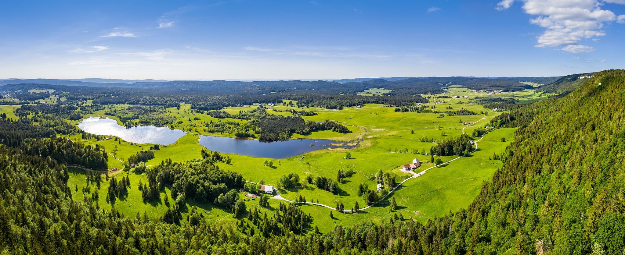
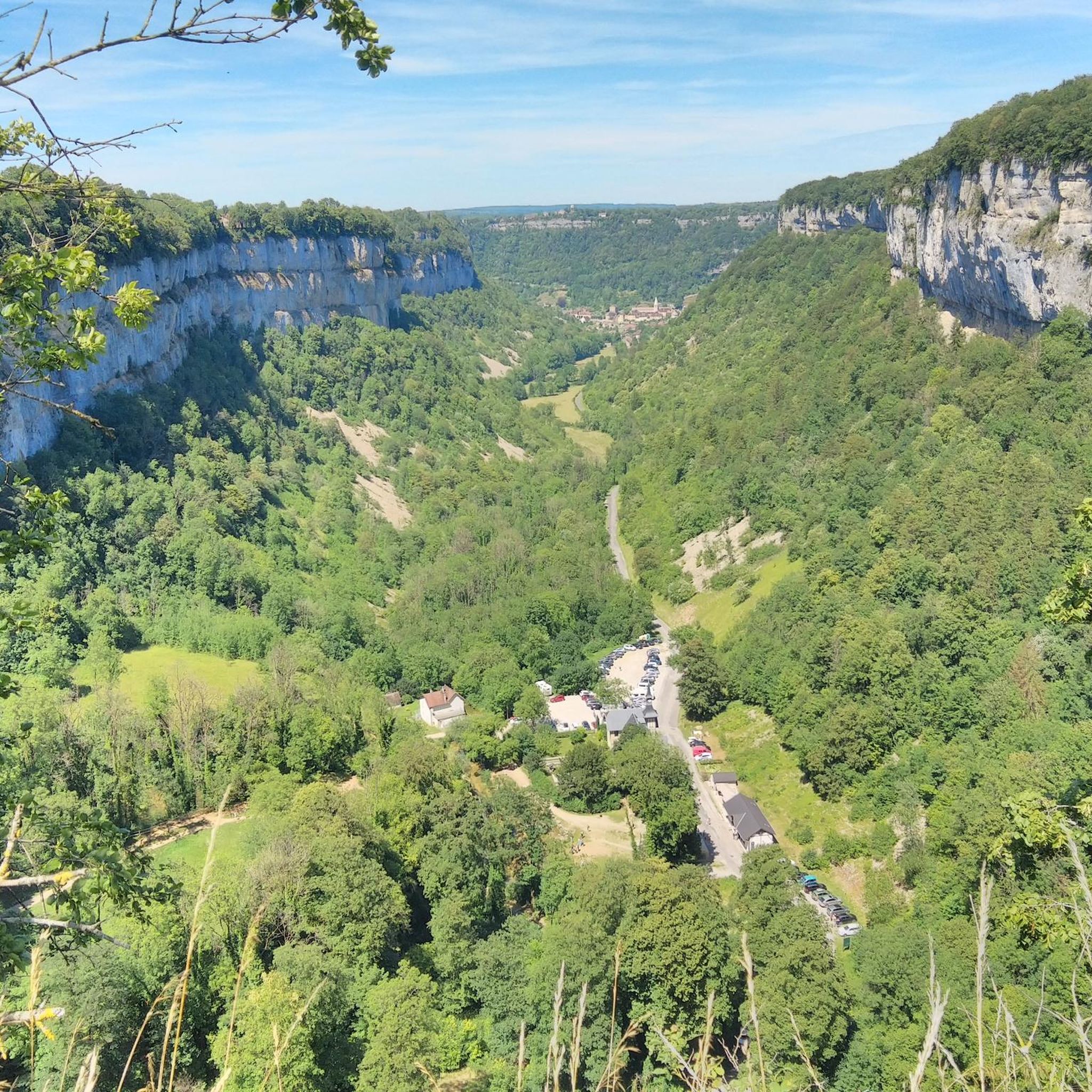
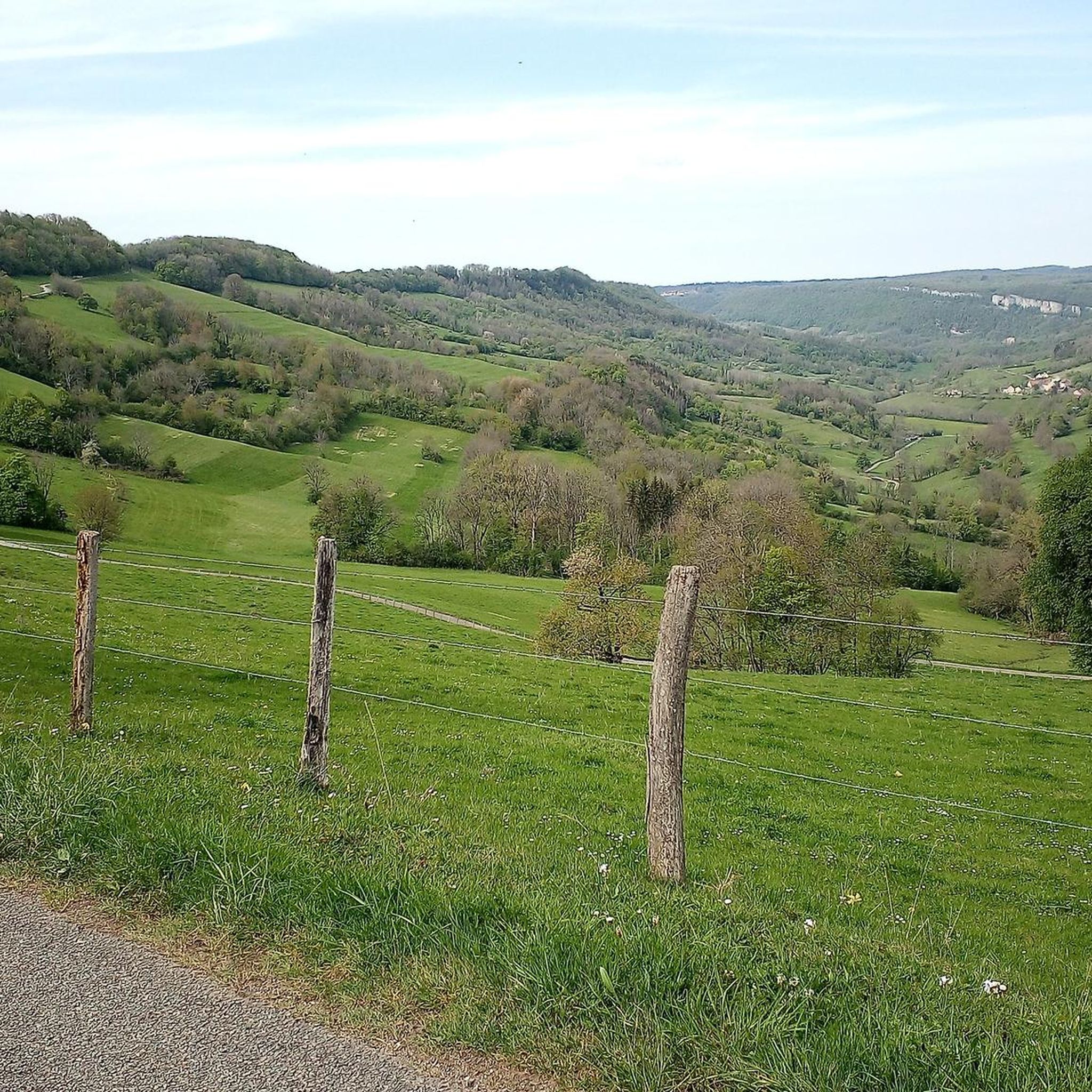
Jogging around Perrigny offers diverse terrain within the Jura department of Bourgogne-Franche-Comté. The region features the Jura massif, characterized by vineyards, a lake region, and the Haut-Jura. Runners can experience paths ranging from accessible greenways to more challenging routes with significant elevation changes. The landscape includes valleys, such as Baume-les-Messieurs, and the Vallière river, providing varied natural environments for running.
Best jogging routes around Perrigny
- The most popular jogging route is Grand bassin loop from Perrigny, a 3.8 miles (6.1 km) trail that takes 39 minutes to complete. This moderate route offers a local loop starting directly from Perrigny.
- Another top favourite among local runners is Tunnel de la Diane (Voie PLM) loop from Perrigny, a moderate 5.6 miles (9.0 km) path. This route utilizes an old railway line transformed into a greenway, providing a dedicated and accessible path.
- Local runners also love the Belvédère de Sermu – Belvédère de Suchot loop from Chêne Pouilleux, a 12.9 miles (20.8 km) trail leading through varied terrain with significant elevation, often completed in about 2 hours 58 minutes.
- Jogging around Perrigny is defined by the Jura massif, greenways, and scenic valleys. The network offers options for different ability levels, from moderate loops to more difficult trails with substantial climbs.
- The routes in Perrigny are highly rated by the komoot community with an average score of 4.3 stars from over 31 reviews. More than 1500 runners have used komoot to explore Perrigny's varied terrain.
Last updated: May 23, 2026
21
runners
16.0km
01:41
130m
130m
Hard run. Very good fitness required. Mostly paved surfaces. Suitable for all skill levels.
5.0
(6)
9
runners
5.52km
00:36
70m
70m
Moderate run. Good fitness required. Mostly paved surfaces. Suitable for all skill levels.

Sign up for free
14
runners
8.10km
00:56
170m
170m
Moderate run. Good fitness required. Mostly paved surfaces. Suitable for all skill levels.
9
runners
3.87km
00:32
140m
140m
Hard run. Good fitness required. Sure-footedness, sturdy shoes and alpine experience required.
4
runners
8.21km
01:02
260m
260m
Hard run. Good fitness required. Sure-footedness, sturdy shoes and alpine experience required.
Get access to more routes and recommendations from other explorers.
Sign up for free
Already have an account?
Our route recommendations are based on thousands of hikes, rides, and runs completed by other people on komoot.
Start today with a free account
Your next adventure awaits.
Login or Signup



Other adventures around Perrigny

Tips from the Community

The Courlan viaduct spans the Vallière river. 338 meters long and 16 meters high, it has 16 arches. A beautiful structure to see along the Voie Bressane greenway.
0
0

This place is from another time and truly deserves to spend a little time there, both for the panorama and for the architecture.
0
0


From Montaigu you have a wonderful view of Long-le-Saunier.
2
0
On the foothills of the first plateau of the Jura, Montaigu offers a plunging view of Lons-le-Saunier. The village has seen the growth of rouget de Lisle, composer of “La Marseillaise”. Montaigu separates and overlooks two remote valleys (Revigny and Vernantois) whose marly slopes, at the foot of the limestone cliffs, are very favorable for growing vines.
1
0
Claude Joseph Rouget de Lisle or Claude Joseph Rouget de l'Isle, born Claude Joseph Rouget (May 10, 1760 in Lons-le-Saunier – June 26, 1836 in Choisy-le-Roi)[1] was a French Composer, poet and officer. On the night of April 25-26, 1792, during the declaration of war on Austria, he wrote and composed the war song of the French Army of the Rhine, Chant de guerre pour l'armée du Rhin, in Strasbourg, Alsace, which later became a revolutionary song under the name Marseillaise. Six years after the storming of the Bastille, the Marseillaise was declared the national anthem on July 14, 1795, banned several times in the following years during the Empire and the Restoration epoch and only recognized again after the July Revolution of 1830. Source: https://de.wikipedia.org/wiki/Claude_Joseph_Rouget_de_Lisle
1
0

Wonderfully located in the Parc des Bains, which also serves as a city park for the residents.
2
0

The Hermitage Saint-Anne de Conliège dominates the secluded area as well as the church of Saint-Etienne de Coldre and its Merovingian necropolis. It is also probably one of the oldest in the Jura.
3
0
Frequently Asked Questions
How many running routes can I find around Perrigny?
There are over 15 dedicated running routes available around Perrigny, offering a variety of experiences for different skill levels. These routes are highly rated by the komoot community, with an average score of 4.3 stars.
What kind of terrain can I expect on the jogging trails in Perrigny?
The region around Perrigny, nestled in the Jura massif, offers a diverse range of terrain. You'll find everything from easily accessible paths and greenways, like the transformed old railway line, to more challenging routes with significant elevation changes through vineyards, forests, and valleys. The landscape includes features like the Vallière river and the stunning Baume-les-Messieurs valley.
Are there any easy or beginner-friendly running routes in Perrigny?
Yes, there are several moderate routes suitable for beginners or those looking for an easier run. A great option is the Grand bassin loop from Perrigny, a 3.8-mile (6.1 km) trail that offers a local loop directly from the village. Another accessible choice is the Tunnel de la Diane (Voie PLM) loop from Perrigny, which utilizes an old railway line converted into a greenway, providing a smooth and dedicated path.
Can I find circular running routes in the Perrigny area?
Absolutely. Many of the running routes around Perrigny are designed as loops, allowing you to start and finish in the same location. Popular circular options include the Grand bassin loop from Perrigny and the Tunnel de la Diane (Voie PLM) loop from Perrigny. For a more challenging circular experience, consider the Belvédère de Sermu – Belvédère de Suchot loop from Chêne Pouilleux.
What are some notable landmarks or viewpoints I can see while running near Perrigny?
The region is rich with natural beauty and historical sites. You can enjoy panoramic views from various points, including the parish church of Saint-Jean-Baptiste in Perrigny itself. Along the trails, you might encounter impressive geological formations like the Baume-les-Messieurs valley, featuring a remarkable tuff waterfall and spectacular caves (Grottes de Baumes — Waterfall and Cave). Other highlights include the Roches Viewpoint overlooking the Baume-les-Messieurs reculée, and the View of the Château-Chalon ravine.
Are there any running trails that offer significant elevation gain for a challenging workout?
Yes, the Jura massif provides excellent opportunities for challenging runs with substantial elevation. For a demanding workout, the Belvédère de Sermu – Belvédère de Suchot loop from Chêne Pouilleux is a difficult 12.9-mile (20.8 km) trail with over 740 meters of ascent. Another difficult option is The Conliège Hermitage – Guillotine Viewpoint loop from Lons-le-Saunier, which features over 500 meters of elevation gain.
What do other runners enjoy most about the trails in Perrigny?
The running routes in Perrigny are highly rated by the komoot community, with an average score of 4.3 stars from over 30 reviews. Runners often praise the diverse and picturesque natural landscape, the mix of accessible paths and challenging trails, and the stunning panoramic views. The well-maintained trails, including converted old railway lines, are also frequently highlighted for their quality.
Are there any specific trails that are part of larger regional networks?
Yes, the area around Perrigny is integrated into significant regional trail networks. The famous Échappée Jurassienne, a Franco-Swiss hiking route, traverses the Jura massif, offering scenic paths and old railway lines. Additionally, the GR 559 trail, stretching 95 km from Lons-le-Saunier to Les Rousses, showcases the diverse facets of the Jura, including its vineyards, lakes, and wilder areas, providing ample opportunities for extended runs.
Can I find trails that pass by water features like lakes or rivers?
The region around Perrigny is known for its beautiful water features. The Vallière river forms part of Perrigny's south-western border, and some trails will run alongside it. Furthermore, the broader Jura region is characterized by a captivating Lake Region, with nearby lakes such as Lac de Chalain, Lac de Chambly, and Lac du Val, offering scenic routes and opportunities to incorporate water views into your run.
Are there any historical or cultural sites accessible from the running routes?
Beyond the natural beauty, the region offers cultural and historical points of interest. The ancient Saint-Pierre Abbey in Baume-les-Messieurs, an impressive architectural ensemble dating back to the 6th century, is located in the stunning Baume-les-Messieurs valley, which is accessible via some trails. The proximity to Lons-le-Saunier, a thermal town, also adds to the appeal, providing additional amenities and historical sites.
Are there any routes that follow old railway lines?
Yes, the region has transformed old railway lines into greenways, perfect for uninterrupted running. A prime example is the Tunnel de la Diane (Voie PLM) loop from Perrigny. This route utilizes a section of the old railway line that once linked Lons-le-Saunier to Champagnole, providing a dedicated and easily accessible path for runners.
Most popular attractions around Perrigny

Get inspired with the komoot mobile app


Explore more
Browse the best Running Trails & Routes in other regions.
