The best walks and hikes around Plumont
4.5
(108)
580
hikers
48
hikes
Hiking around Plumont offers a network of trails characterized by gentle terrain and proximity to waterways. The region features relatively flat landscapes with minimal elevation changes, making it accessible for various hiking abilities. Trails often traverse open areas and provide views of the surrounding natural environment. The area is suitable for those seeking relaxed outdoor experiences rather than challenging mountain ascents.
Best hiking trails around Plumont
- The most popular hiking route is The Bee-eater loop from Étrepigney, a 5.2…
Last updated: May 25, 2026
4.5
(8)
34
hikers
8.30km
02:12
80m
80m
Moderate hike. Good fitness required. Easily-accessible paths. Suitable for all skill levels.
4.3
(6)
22
hikers
10.9km
02:52
100m
100m
Moderate hike. Good fitness required. Easily-accessible paths. Suitable for all skill levels.

Sign up for free
15
hikers
3.67km
00:56
10m
10m
Easy hike. Great for any fitness level. Easily-accessible paths. Suitable for all skill levels.
4.0
(2)
8
hikers
4.12km
01:03
10m
10m
Easy hike. Great for any fitness level. Easily-accessible paths. Suitable for all skill levels.
4.5
(2)
5
hikers
5.24km
01:25
80m
80m
Easy hike. Great for any fitness level. Easily-accessible paths. Suitable for all skill levels.
Get access to more routes and recommendations from other explorers.
Sign up for free
Already have an account?
Our route recommendations are based on thousands of hikes, rides, and runs completed by other people on komoot.
Start today with a free account
Your next adventure awaits.
Login or Signup


Tips from the Community

Fraisans used to be the centre of metallurgy
5
0

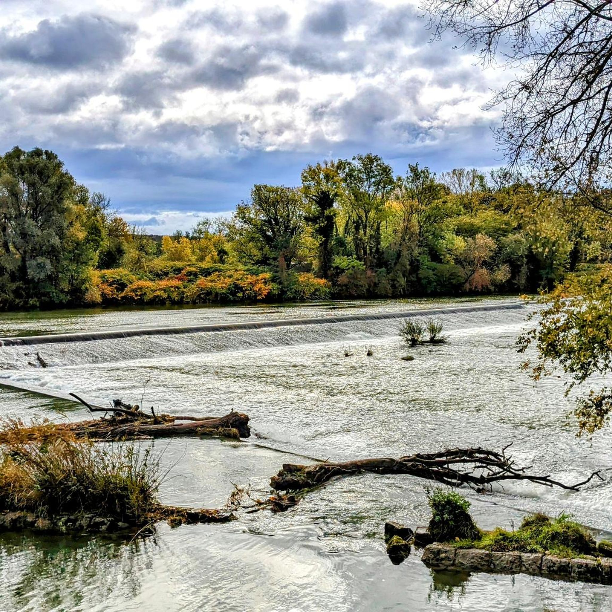
A river and a canal separated only by a embankment is indeed an impressive and rare sight. Worth seeing!
1
0

At this location, the canal and the river are closely adjacent to each other. It's a beautiful sight to see. Here the two rivers travel together in the valley.
2
0

Very nicely situated campsite on the river, lots of shade
4
0
Romantic view of the Doubs from the campsite
4
0

Camping d'ile, possibility of a café 😊
2
1

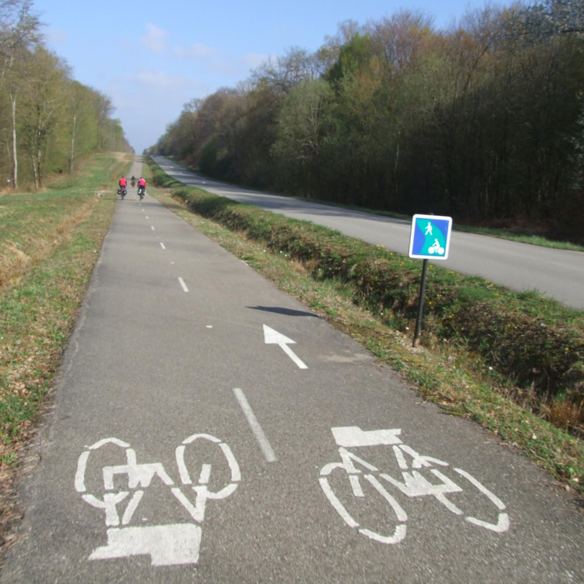
Excellent place for a cycling stopover. Covered tables
2
0

Frequently Asked Questions
What kind of terrain can I expect on hiking trails in Plumont?
The hiking trails around Plumont are characterized by gentle terrain and relatively flat landscapes, with minimal elevation changes. You'll find many riverside paths, open fields, and gentle inclines, making them suitable for relaxed outdoor experiences rather than challenging mountain ascents.
Are there hiking trails for all skill levels in Plumont?
Yes, Plumont offers a variety of hiking options suitable for different ability levels. You can find everything from easy strolls to moderate walks. For example, the Ranchot Island Campsite loop from Ranchot is an easy 2.3-mile (3.7 km) trail, while the Ranchot Island Campsite – Dampierre Lock loop from Ranchot offers a moderate 6.7-mile (10.9 km) path.
What are some notable natural features or landmarks to see while hiking in Plumont?
While hiking in Plumont, you can explore several interesting natural and historical features. The Canal du Rhône au Rhin is a prominent waterway, and you might encounter impressive Cliffs along the Doubs / Rhône–Rhine Canal. For a unique historical site, consider visiting the Royal Saltworks of Arc-et-Senans, a UNESCO World Heritage site nearby.
Are there any circular hiking routes in Plumont?
Yes, Plumont features several enjoyable circular routes. A popular option is The Bee-eater loop from Étrepigney, a 5.2-mile (8.3 km) trail that takes about 2 hours and 12 minutes to complete. Another great choice is the Rancho loop from Ranchot, an easy 3.1-mile (4.9 km) route.
What do other hikers enjoy most about the trails in Plumont?
The trails in Plumont are highly rated by the komoot community, with an average score of 4.4 stars from 100 reviews. Hikers often praise the gentle terrain, the scenic riverside paths, and the overall accessibility for various abilities, making it ideal for relaxed outdoor experiences.
What is the best time of year to go hiking in Plumont?
Given the gentle terrain and proximity to waterways, Plumont is generally pleasant for hiking across multiple seasons. Spring and autumn offer comfortable temperatures and beautiful scenery, while summer provides longer daylight hours. Even in winter, the relatively flat paths can be accessible, though conditions may vary.
Are there any family-friendly hiking options in Plumont?
Absolutely. Many of Plumont's trails are suitable for families due to their gentle terrain and minimal elevation changes. The Ranchot Island Campsite loop from Ranchot, for instance, is an easy 2.3-mile (3.7 km) trail that can be completed in under an hour, perfect for a family outing.
Can I bring my dog on the hiking trails in Plumont?
While specific regulations for each trail may vary, the general nature of Plumont's trails—open fields and riverside paths—often makes them suitable for dogs. It's always recommended to keep your dog on a leash and check local signage for any specific restrictions.
Are there any places to stay or camp near the hiking trails?
Yes, the Ranchot Island Campsite is a notable facility located directly along some of the hiking routes, offering a convenient base for exploring the area. This provides a great option for those looking to extend their stay and enjoy multiple days of hiking.
How long do typical hikes in Plumont take to complete?
Hikes in Plumont vary in length and duration. You can find shorter walks like the Ranchot Island Campsite loop from Ranchot, which takes about 55 minutes. Longer moderate routes, such as The Bee-eater loop from Étrepigney, typically take around 2 hours and 12 minutes.
Are there any caves or unique geological formations to explore?
Yes, for those interested in geological features, the Osselle Cave is a significant natural monument in the vicinity of Plumont. It offers an opportunity to explore underground formations and learn about the region's natural history.
Most popular attractions around Plumont

Get inspired with the komoot mobile app


Explore more
Browse the best Hikes in other regions.
