The best walks and hikes around Saint-Aubin
4.3
(114)
873
hikers
55
hikes
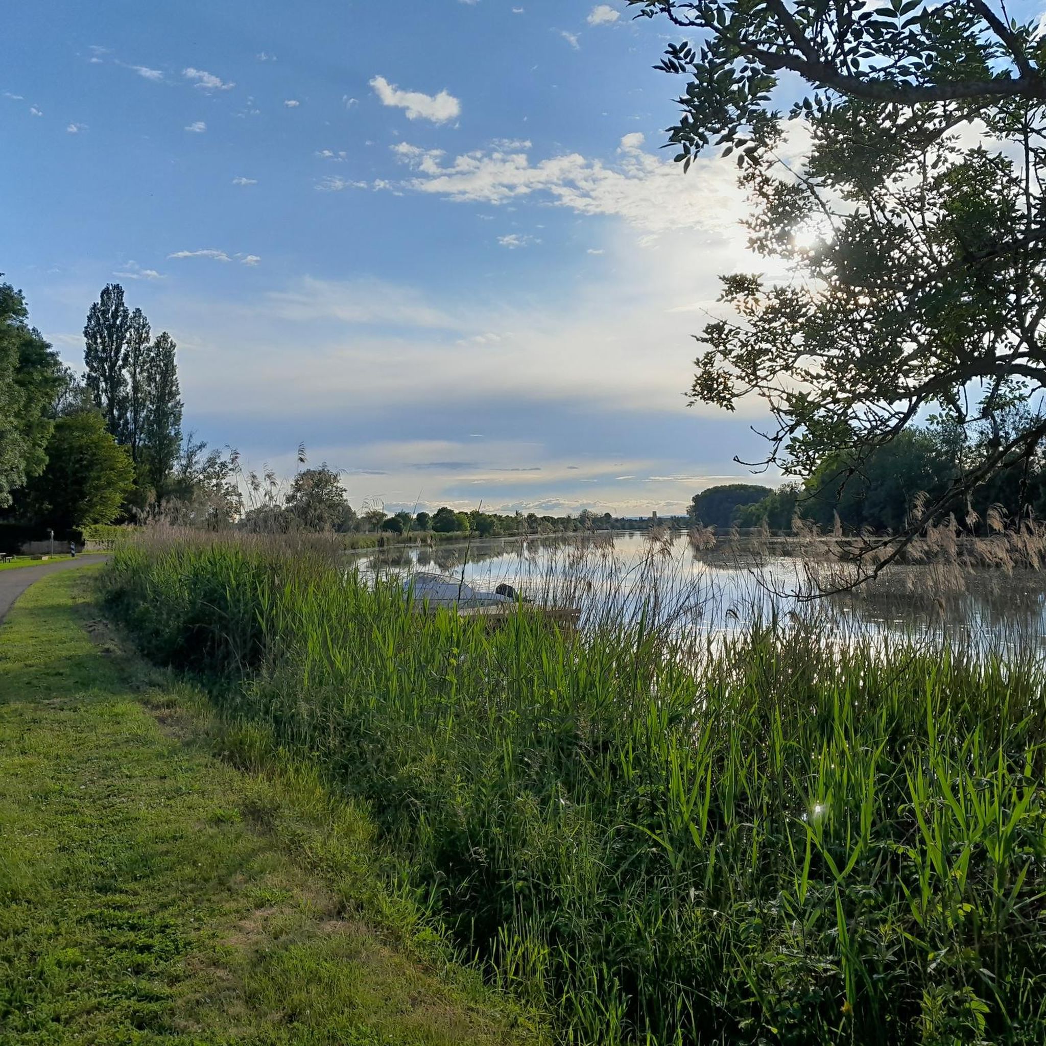
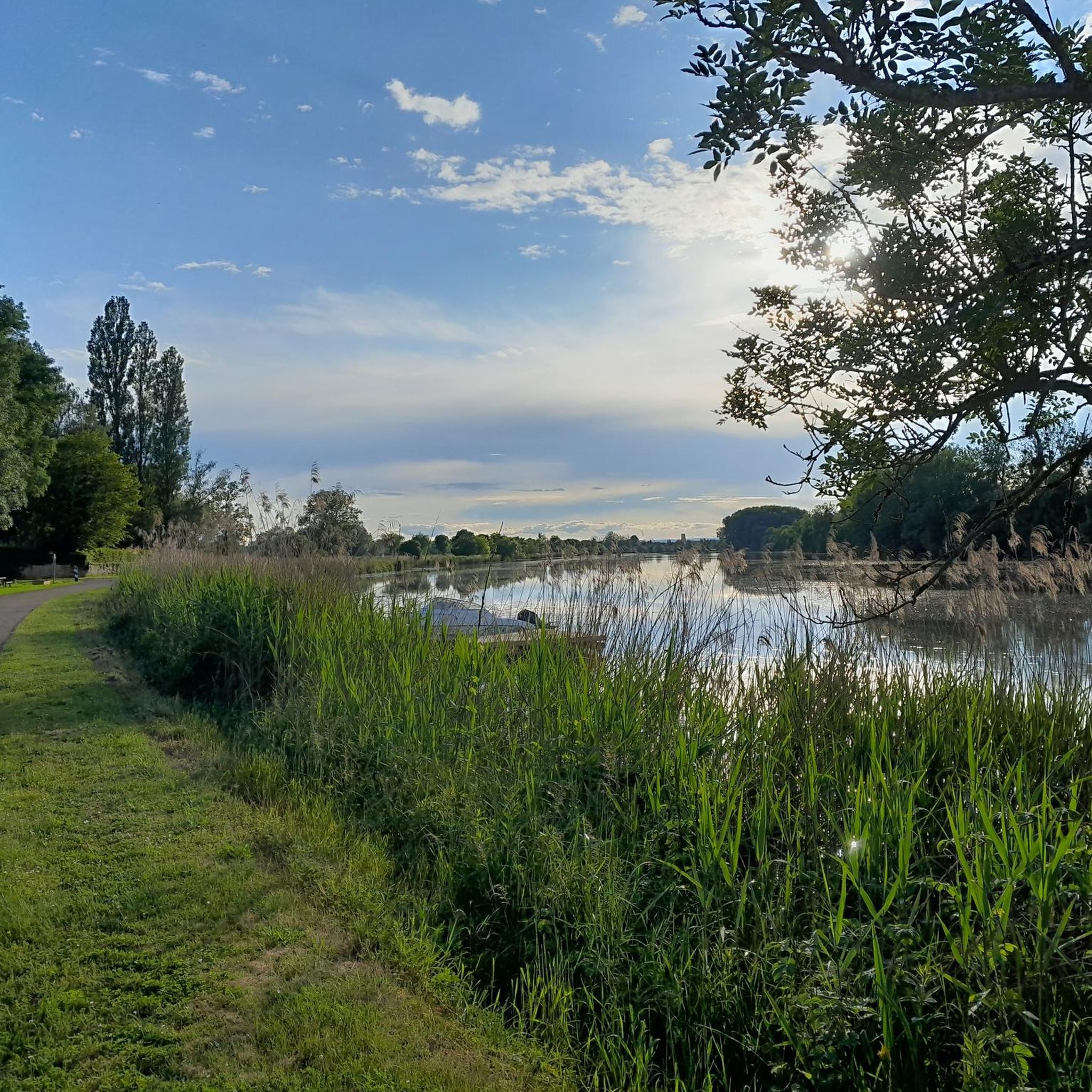
Hiking around Saint-Aubin offers diverse landscapes, primarily characterized by riverine paths and agricultural areas. The terrain often features gentle gradients along waterways like the Doubs, with some routes traversing open fields and small villages. The region includes areas with vineyards and low hills, providing varied scenery for outdoor activities. These trails are generally accessible, offering opportunities to explore the local environment.
Best hiking trails around Saint-Aubin
- The most popular hiking route is Saint-Jean-de-Losne Bridge loop from Saint-Jean-de-Losne, a 5.5 miles (8.8 km) trail that takes 2 hours 13 minutes to complete, offering views of the river and surrounding countryside.
- Another top favourite among local hikers is Pont St-Jean-de-Losne – Lock loop from Saint-Jean-de-Losne, an easy 2.7 miles (4.4 km) path. This route follows the river and passes by a lock, providing a flat and scenic walk.
- Local hikers also love the Weir and lock on the Doubs in Dole – Cordeliers Convent, Dole loop from Choisey, a 5.1 miles (8.2 km) trail leading through riverbanks and urban areas, often completed in about 2 hours 8 minutes.
- Hiking around Saint-Aubin is defined by river paths, agricultural landscapes, and small village surroundings. The network offers options for both easy and moderate ability levels.
- The routes in Saint-Aubin are highly rated by the komoot community with an average score of 4.4 stars from nearly 100 reviews. More than 700 hikers have used komoot to explore Saint-Aubin's varied terrain.
Last updated: July 6, 2026
4.0
(1)
13
hikers
Moderate hike. Good fitness required. Easily-accessible paths. Suitable for all skill levels.
4.0
(1)
11
hikers
Moderate hike. Good fitness required. Easily-accessible paths. Suitable for all skill levels.

Sign up for free
12
hikers
4.78km
01:13
20m
20m
Easy hike. Great for any fitness level. Easily-accessible paths. Suitable for all skill levels.
4.0
(2)
22
hikers
Moderate hike. Good fitness required. Easily-accessible paths. Suitable for all skill levels.
3
hikers
2.15km
00:33
10m
10m
Easy hike. Great for any fitness level. Easily-accessible paths. Suitable for all skill levels.
Get access to more routes and recommendations from other explorers.
Sign up for free
Already have an account?
Our route recommendations are based on thousands of hikes, rides, and runs completed by other people on komoot.
Start today with a free account
Your next adventure awaits.
Login or Signup
Tips from the Community

A small, nice place. Before the bridge, there is a bakery.
0
0

Notre Dame Cathedral
0
0

Beautiful old town where it's hard to get lost, but you can discover many beautiful houses.
0
0

Originally, the Saint-Jean-de-Losne bridge was made of wood and crossed the river diagonally by road no. 27 linking Dijon to Losne. It started on the right bank, a little downstream from the current bridge, and then joined the old Seurre road. The structure was destroyed many times by floods and ice break-ups, but was always rebuilt in the same place until 1830. It was rebuilt in stone from 1833, then rebuilt again after being cut down during the war of 1870… The bridge suffered damage from the war twice more. On June 16, 1940, French engineers blew up an arch, and on September 7, 1944, the retreating Germans dynamited the rest. It was then replaced by a temporary wooden footbridge. After the liberation, the reconstruction work was put out to tender. After all these twists and turns, the bridge was finally rebuilt in the same place in 1950.
0
0
For a hiker, all locks look the same, automated or not.
1
0

Pedestrian bridge with beautiful views. Large free parking lot in front of the bridge. Public toilet on the right behind the bridge. 😊
2
0

A lovely spot with good food – beautiful steps down to the river. Very relaxed!
2
0

Frequently Asked Questions
What kind of terrain can I expect on hikes around Saint-Aubin?
Hiking around Saint-Aubin primarily features riverine paths and agricultural areas, often with gentle gradients along waterways like the Doubs. You'll find routes traversing open fields and small villages, with some areas including vineyards and low hills, offering varied scenery. The trails are generally accessible and provide a pleasant way to explore the local environment.
Are there many hiking options for different skill levels?
Yes, Saint-Aubin offers a good range of options. There are 49 hiking routes in total, with 29 classified as easy and 20 as moderate. There are no difficult routes, making the area very accessible for most hikers.
What do other hikers say about the trails in Saint-Aubin?
The routes in Saint-Aubin are highly rated by the komoot community, with an average score of 4.4 stars from nearly 100 reviews. Over 700 hikers have used komoot to explore the area, often praising the scenic river paths and tranquil agricultural landscapes.
Are there any circular hiking routes in Saint-Aubin?
Yes, many of the trails around Saint-Aubin are circular. For example, the Saint-Jean-de-Losne Bridge loop from Saint-Jean-de-Losne is a moderate 8.8 km route, and the Pont St-Jean-de-Losne – Lock loop from Saint-Jean-de-Losne offers an easy 4.4 km walk along the river.
What are some notable landmarks or attractions I can see while hiking?
Many trails offer views of the Doubs river and its locks. You can explore areas near Saint-Jean-de-Losne, a charming settlement, or pass by the Dole Lock on the Rhine-Rhône Canal. The Weir and lock on the Doubs in Dole – Cordeliers Convent, Dole loop from Choisey route, for instance, takes you through riverbanks and urban areas, offering glimpses of historical sites like the Notre-Dame Collegiate Church in Dole.
Are there family-friendly hiking trails in Saint-Aubin?
Absolutely. With 29 easy routes and generally gentle terrain, Saint-Aubin is well-suited for family outings. The river paths are often flat and provide safe, scenic walks for all ages. The Port of Saint-Jean-de-Losne – Lock loop from Saint-Jean-de-Losne is a particularly short and easy option at 1.8 km.
What is the best time of year to go hiking in Saint-Aubin?
The region's vineyards and riverine landscapes are beautiful throughout spring, summer, and early autumn. These seasons offer pleasant temperatures for walking and allow you to fully appreciate the natural beauty and agricultural surroundings. Winter hikes are also possible, though some paths might be muddy, and views of the vineyards would be different without foliage.
Are there any routes that offer good viewpoints?
While the immediate Saint-Aubin area described in the guide features mostly flat river and agricultural paths, the broader Côte de Beaune region, where Saint-Aubin (Côte-d'Or) is located, is known for its hilly vineyard trails. These higher elevations, ranging from 300 to 350 meters, can offer unique perspectives of the wine country. Look for trails that ascend into the vineyards for panoramic views.
Can I find places to eat or drink near the hiking trails?
Given the presence of villages like Saint-Jean-de-Losne and the proximity to towns like Dole, you can expect to find cafes, restaurants, and other amenities. Many routes pass through or near these settlements, providing opportunities for refreshments before or after your hike.
What is the typical elevation gain on hikes in Saint-Aubin?
The hikes around Saint-Aubin generally feature very low elevation gain, making them suitable for those seeking less strenuous walks. For example, the Pont St-Jean-de-Losne – Saint-Jean-de-Losne loop from Port de Chaugey, a 9.1 km moderate route, has an elevation gain of only about 12 meters.
Is Saint-Aubin a good destination for wine enthusiasts who enjoy hiking?
Absolutely. Saint-Aubin in Côte-d'Or is nestled in the renowned Côte de Beaune region of Burgundy, famous for its viticulture. Many trails, particularly those in the surrounding hills, wind through picturesque vineyards, offering a unique blend of hiking and wine country exploration. You can learn more about the region's wine at winetourism.com.
Most popular routes around Saint-Aubin
Most popular attractions around Saint-Aubin

Get inspired with the komoot mobile app


Explore more
Browse the best Hikes in other regions.
