The best road cycling routes around Coulanges-Lès-Nevers
4.1
(18)
1,303
riders
94
rides
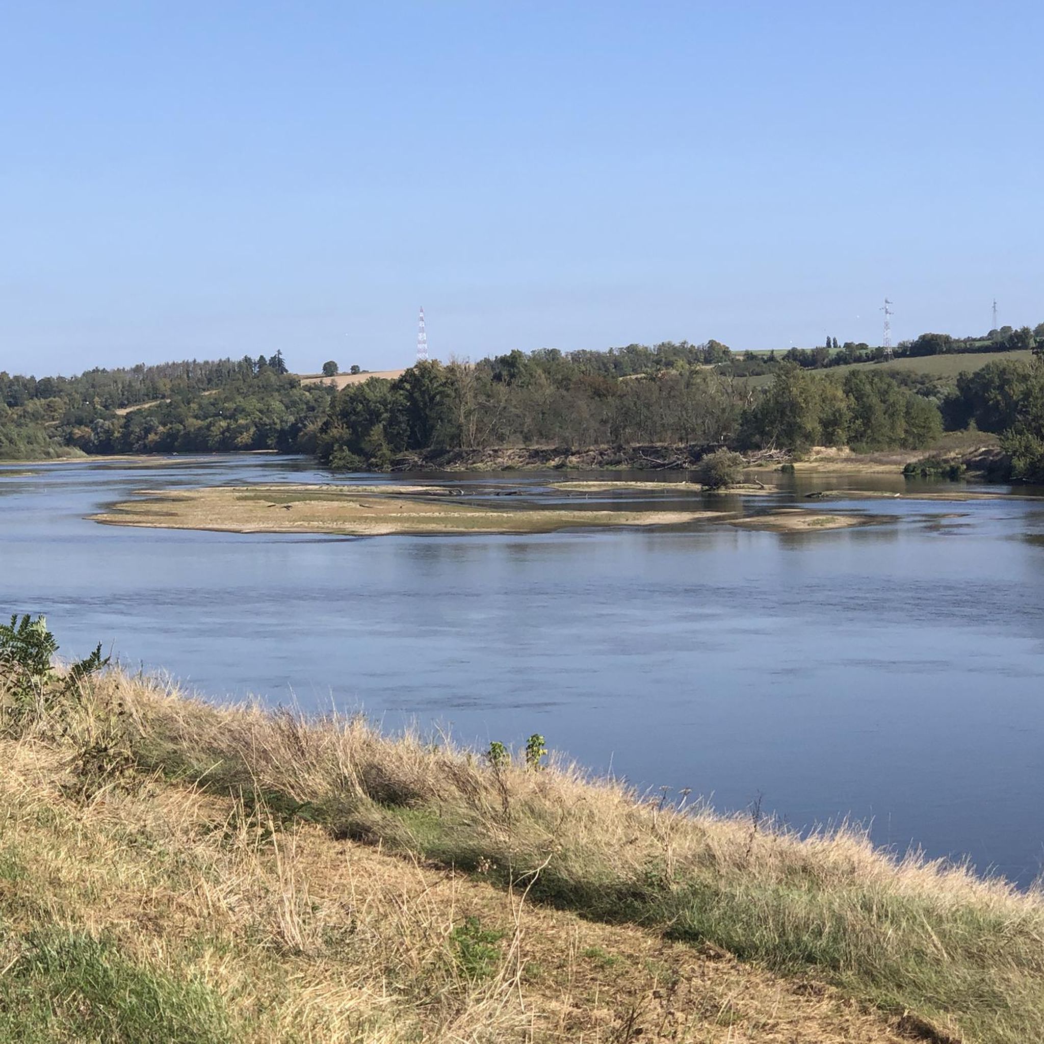
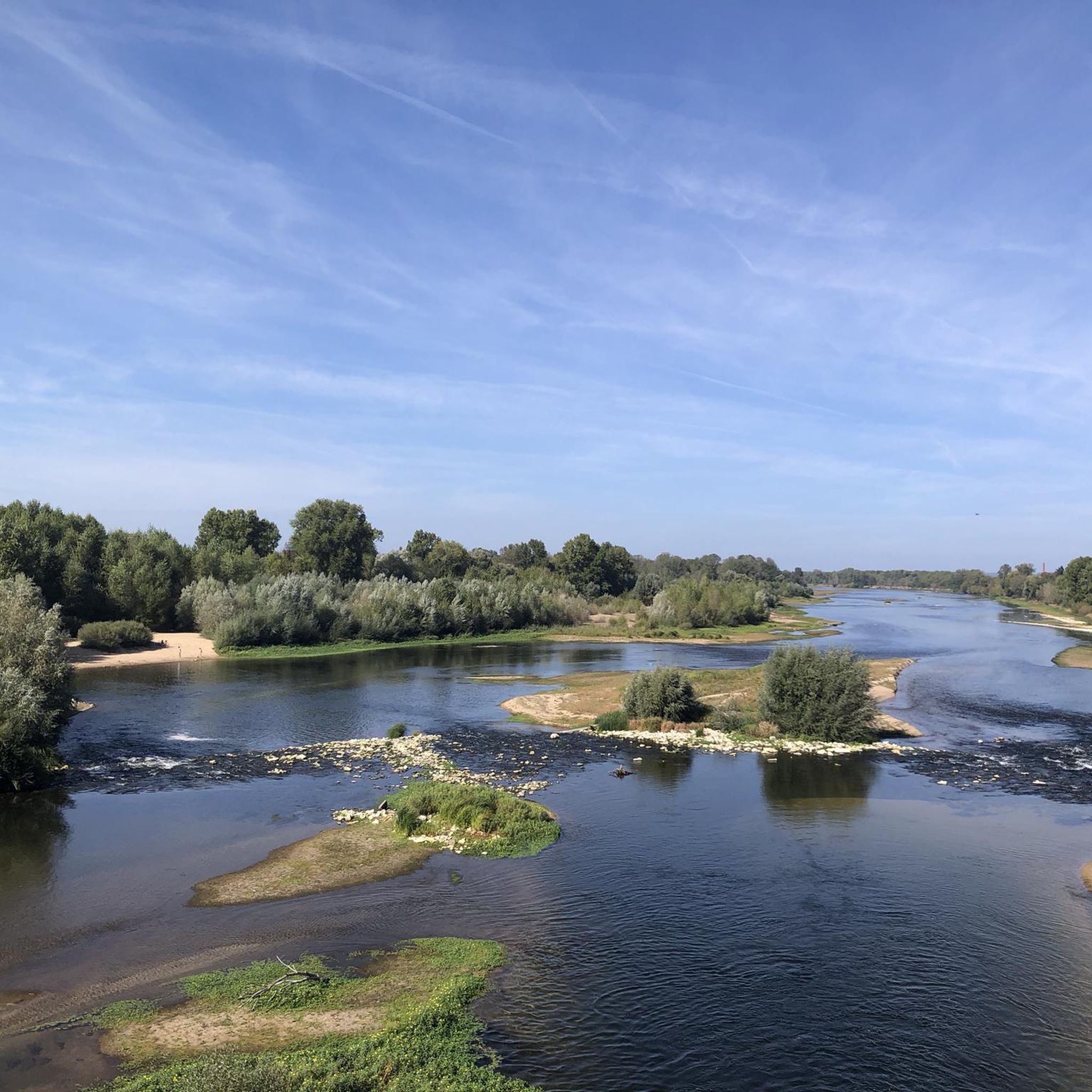
Road cycling routes around Coulanges-lès-Nevers offer access to diverse landscapes, characterized by the confluence of the Loire and Allier rivers, and the presence of the Nièvre river. The area features a network of mostly paved roads that traverse regional forests and connect charming towns. Cyclists can explore routes along riverbanks and through the tranquil environment of local natural areas like Les Prés de Coulanges. The terrain generally includes gentle gradients, with some routes offering moderate elevation gains.
Best road cycling…
Last updated: July 6, 2026
65
riders
84.9km
03:35
660m
660m
Moderate road ride. Good fitness required. Mostly well-paved surfaces and easy to ride.
2.7
(3)
60
riders
58.1km
02:38
350m
350m
Moderate road ride. Good fitness required. Mostly well-paved surfaces and easy to ride.

Sign up for free
4.0
(2)
46
riders
39.8km
01:39
260m
260m
Easy road ride. Great for any fitness level. Mostly well-paved surfaces and easy to ride.
5.0
(2)
56
riders
73.8km
03:19
780m
780m
Moderate road ride. Good fitness required. Mostly well-paved surfaces and easy to ride.
5.0
(2)
53
riders
34.1km
01:24
220m
220m
Easy road ride. Great for any fitness level. Mostly well-paved surfaces and easy to ride.
Get access to more routes and recommendations from other explorers.
Sign up for free
Already have an account?
Our route recommendations are based on thousands of hikes, rides, and runs completed by other people on komoot.
Start today with a free account
Your next adventure awaits.
Login or Signup

Tips from the Community

Perfect location, fairly easy access
0
0


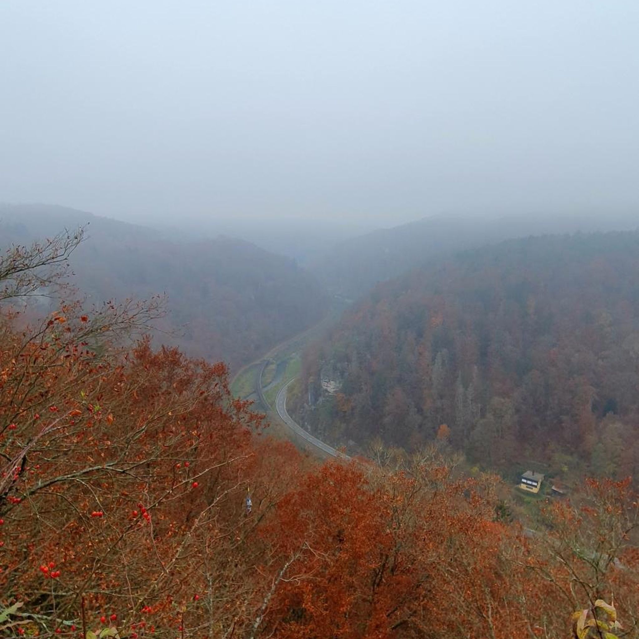
From Martangy to the west, this pass provides access to Saint-Benin-des-Bois. 4km long, with an average gradient of 4%, it offers reasonable gradients on a well-maintained road through the undergrowth. At the summit (434m) is an imposing telecommunications tower.
0
0

Coming from Nyon, Komoot allows the direct route via Les Verges. However, it's gravel, and at the end you have to carry your bike up a small embankment. It's better to take the outside route via the Route des Quemins (a 100m detour).
2
0
Some traffic on the D176, but a great view
1
0
Always a great sight the wide fields
1
0
Frequently Asked Questions
What kind of terrain can I expect on road cycling routes around Coulanges-lès-Nevers?
The road cycling routes in this region are primarily characterized by mostly paved roads that traverse river valleys, regional forests, and connect charming towns. While many routes feature gentle gradients, some offer moderate elevation gains, providing a varied experience for cyclists.
Are there road cycling routes suitable for beginners or those looking for an easy ride?
Yes, Coulanges-lès-Nevers offers several easy road cycling routes. For instance, the Church in Ourouer – flu loop from Nevers-le-Banlay is an easy 40.5 km route, and the Boulangerie des Amognes – flu loop from Nevers-le-Banlay is another easy option spanning 34.1 km. In total, there are 18 easy routes available in the area.
What are some notable natural features or landmarks I can see while road cycling here?
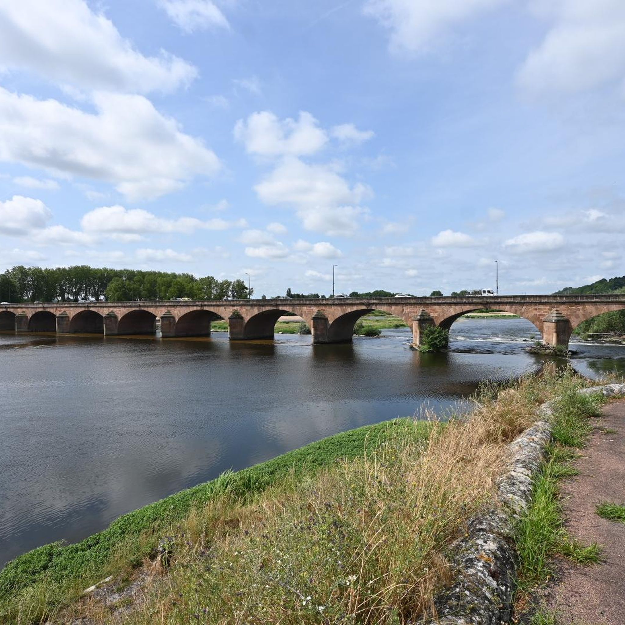
The region is rich in natural beauty and historical sites. You can cycle along the Nièvre River and explore the ecological site of Les Prés de Coulanges, known for its wetlands and diverse flora. Routes often pass near the confluence of the Loire and Allier rivers, and you can also visit historical sites like the Loire Bridge or the city of Nevers itself.
Are there any long-distance cycling routes accessible from Coulanges-lès-Nevers?
Yes, Coulanges-lès-Nevers is well-connected to significant long-distance routes. It's close to the renowned 800-kilometer Loire à Vélo, with its official starting point in Cuffy, easily accessible from Nevers. Sections of the EuroVelo 6, stretching from the Atlantic to the Black Sea, also pass through the area, offering extensive cycling opportunities.
What is the best time of year for road cycling in Coulanges-lès-Nevers?
The region generally offers pleasant conditions for road cycling from spring through autumn. The mild climate allows for comfortable rides, especially when exploring the riverine landscapes and regional forests. It's always a good idea to check local weather forecasts before heading out.
Are there any circular road cycling routes available?
Many of the routes around Coulanges-lès-Nevers are designed as loops, offering convenient circular journeys. Examples include the Nevers – Loire Bridge loop from Nevers-le-Banlay (50.0 km) and the longer Loire Bridge – Nevers loop from Nevers-le-Banlay (84.9 km). The Canal du Nivernais also offers scenic loop rides.
How long are the road cycling routes in the area?
The road cycling routes around Coulanges-lès-Nevers vary significantly in length. You can find shorter rides, such as the 34.1 km Boulangerie des Amognes – flu loop from Nevers-le-Banlay, to much longer excursions like the 84.9 km Loire Bridge – Nevers loop from Nevers-le-Banlay. This variety allows cyclists to choose routes that fit their desired distance and time commitment.
What do other road cyclists think about the routes in Coulanges-lès-Nevers?
The road cycling routes in Coulanges-lès-Nevers are highly rated by the komoot community, with an average score of 4.2 stars from 26 reviews. Over 1250 road cyclists have used komoot to explore the varied terrain, often praising the scenic river valleys and connections to charming towns.
Can I access these road cycling routes using public transport?
Coulanges-lès-Nevers is a commune bordering Nevers, which serves as a hub for many cycling routes. Nevers is generally well-served by public transport, including train connections, making it a convenient starting point for accessing the wider network of routes in the area.
Are there any challenging road cycling routes for experienced cyclists?
Yes, while many routes offer gentle gradients, there are options for more experienced cyclists. For example, the Paris Gate – Prye Castle loop from Nevers-le-Banlay is a moderate 74.8 km trail with significant elevation gain, leading through varied countryside. Overall, there are 9 difficult routes available for those seeking a greater challenge.
Are there family-friendly road cycling options in the area?
The region offers several routes with gentle gradients and mostly paved surfaces, which can be suitable for families. Shorter, easier loops along the rivers or through tranquil local areas like Les Prés de Coulanges provide a pleasant experience for all ages. Always check the specific route details for distance and elevation to ensure it matches your family's capabilities.
Most popular routes around Coulanges-Lès-Nevers
Most popular attractions around Coulanges-Lès-Nevers

Get inspired with the komoot mobile app


Explore more
Browse the best Road cycling routes in other regions.
